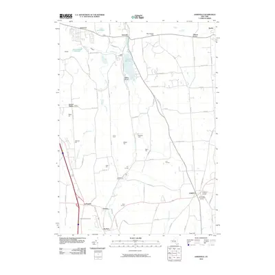
2010 Map of Jamesville
USGS Topo · Published 2010About this map
Butternut Creek carves a central path through this landscape, feeding the prominent Jamesville Reservoir south of the village of Jamesville. This 2010 survey illustrates a complex mix of agricultural land and suburban growth southeast of Syracuse. The terrain is defined by a series of named elevations including Mason Hill, Torry Hill, and Irish Hill, while the deep incision of Stebbins Gulf and Smoky Hollow reveal the area's geological character.
Find a feature on this map
79 named features on this map. Tap any name to fly to it.
Don’t see what you’re looking for? This feature index may not catch every label — zoom into the map to look around manually.
Map Details
Editions of this 2010 Jamesville Map
This is the sole edition of this map. No revisions or reprints were ever made.
Other maps of this area

1895 · Chittenango
USGS Topo · 1:62,500

1895 · Syracuse
USGS Topo · 1:62,500

1897 · Cazenovia
USGS Topo · 1:62,500

1898 · Syracuse
USGS Topo · 1:62,500

1898 · Chittenango
USGS Topo · 1:62,500

1899 · Cazenovia
USGS Topo · 1:62,500

1900 · Tully
USGS Topo · 1:62,500

1902 · Chittenango
USGS Topo · 1:62,500

1938 · Syracuse East
USGS Topo · 1:24,000

1939 · Syracuse West
USGS Topo · 1:24,000