Old Maps of Syracuse, New York for Academic Research
Study the evolution of Syracuse with 48 high-resolution historic maps. Whether you're teaching, researching, or modeling changes in land use, these maps provide essential visual documentation of urban, environmental, and geographic change.
- Analyze long-term change: Track patterns in development, transportation, and natural features.
- Ideal for environmental or urban studies: Support academic projects with primary historical map data.
- Use in the classroom or lab: Educators and researchers rely on these maps to bring historical context to life.
These maps are a powerful tool for teaching, research, and visualizing how Syracuse has changed over the decades.
Syracuse, NY maps
(48)- 1895 Map of Syracuse
 1895 Syracuse1895 Print · USGSSyracuse and the surrounding canal country are captured here in the late nineteenth century as the region thrived on salt production and rail traffic. Trace the vanished industrial Salt Sheds, the historic Erie Canal, and landmarks like the State Fair Grounds.
 - 1898 Map of Syracuse
 1898 Syracuse1898 Print · USGSSyracuse was a burgeoning railroad and canal junction at the end of the nineteenth century, surrounded by thriving villages and salt works. Genealogists and historians can trace family-named sites and vanished industrial works near the Salt Sheds, Cicero Swamp, and Fayetteville.10 unique versions available
 - 1900 Map of Tully
 1900 Tully1900 Print · USGSIn the hills south of Syracuse during the late 1890s, this area supported a network of dairy farms and rail-dependent hamlets. Genealogists can locate long-lost rural communities like Maple Grove (Case P.O.), the Onondaga Indian Reservation, and the resort grounds at Assembly Park.9 unique versions available
 - 1938 Map of Syracuse East
 1938 Syracuse East1938 Print · USGSOnondaga County in the late 1930s shows a landscape of rail yards and growing suburban hamlets. Researchers can trace the industrial footprint of the New York Central Yards or locate local landmarks like the Orphans Home and St Marys Cemetery.2 unique versions available
 - 1939 Map of Syracuse West
 1939 Syracuse West1939 Print · USGSSyracuse and its surrounding townships show the height of the pre-war industrial era as the city expands toward the shores of Onondaga Lake. Genealogists and historians can trace the foundations of the community through the Erie Canal (Abandoned), the Salt Museum, and Syracuse University.3 unique versions available
 - 1943 Map of Syracuse East
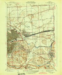 1943 Syracuse East1943 Print · USGSEastern Onondaga County during the mid-forties shows the industrial height of the rail and canal era. Genealogists and researchers can trace local landmarks like the Orphans Home, St Marys Cemetery, and the freight Yards at Minoa.2 unique versions available
 - 1943 Map of South Onondaga
 1943 South Onondaga1943 Print · USGSOnondaga County is captured during the mid-forties as Syracuse expands southward toward the ancestral lands of the Onondaga Indian Reservation. Genealogists and local historians can locate old district schools, numerous family cemeteries like Cedarvale Cem, and rural crossroads such as Lords Corners and Griffins Corners.
 - 1943 Map of Jamesville
 1943 Jamesville1943 Print · USGSOnondaga County is captured during the mid-century as a network of hill-country villages and vital transit corridors. Researchers can trace ancestral locations through numerous family-named landmarks like Spoor Cem, the County Penitentiary, and several school districts including Central Sch.2 unique versions available
 - 1947 Map of Syracuse West
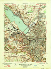 1947 Syracuse West1947 Print · USGSSyracuse and its northern suburbs are shown here in the mid-1940s, revealing a landscape defined by Onondaga Lake and the railroads. Genealogists and historians can trace the early layout of Solvay, Liverpool, and Mattydale, or locate local landmarks like the State Fairgrounds and Pitcher Hill Sch.2 unique versions available
 - 1949 Map of Jamesville
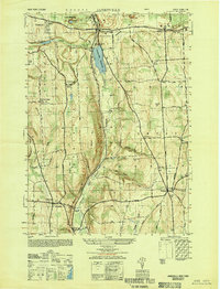 1949 Jamesville1949 Print · USGSCentral New York at the end of the 1940s shows a landscape of steep hills and winding valley roads. Researchers can trace the Delaware Lackawanna and Western line or locate family sites like Pioneer Cem and Onativia.
 - 1950 Map of Elmira
 1950 Elmira1950 Print · USGSThe Finger Lakes region thrived in the late 1940s as a hub of industry and transport. Trace family roots and vanished landmarks near Seneca Lake or explore the rail lines of the Erie RR and the sprawling Seneca Ordnance Depot.2 unique versions available
 - 1955 Map of South Onondaga, 1956 Print
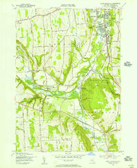 1955 South Onondaga1956 Print · USGSOnondaga County in the mid-fifties is captured here as the Syracuse city line begins to meet the rural highlands and the Onondaga Indian Reservation. Researchers can trace old family locales like Baileys Settlement and Cards Corners or find defunct landmarks like the Nedrow Air Park.3 unique versions available
 - 1955 Map of Jamesville, 1956 Print
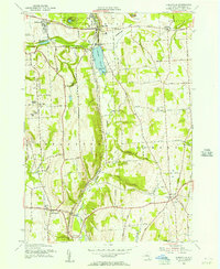 1955 Jamesville1956 Print · USGSOnondaga County in the mid-1950s shows a mix of rural homesteads and industrial growth centered on the village of Jamesville. Genealogists and researchers can trace local landmarks like Pioneer Cem, the County Penitentiary, and the old Onativia settlement.2 unique versions available
 - 1955 Map of Tully, 1961 Print
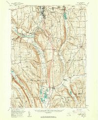 1955 Tully1961 Print · USGSCentral New York at the dawn of the interstate era reveals a landscape of glacial lakes and historic upland hamlets. Genealogists can trace family sites at Pioneer Cem or St Patrick Cem, while identifying rail stops like Apulia Station.2 unique versions available
 - 1957 Map of Syracuse East, 1959 Print
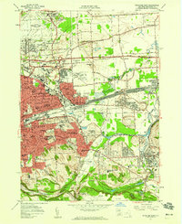 1957 Syracuse East1959 Print · USGSThe Syracuse suburbs and industrial corridors are captured during the peak of mid-century growth. Trace the rail-and-canal economy from the DeWitt Yards to the Erie Canal, alongside Syracuse University and the emerging Carrier Circle.4 unique versions available
 - 1958 Map of Elmira
 1958 Elmira1958 Print · USGSThe New York Finger Lakes during the late fifties reveal a complex landscape of glacial geology and industrial growth. Researchers can trace historic transport corridors like the Erie Canal and Erie RR, or locate institutional landmarks like Cornell University.2 unique versions available
 - 1958 Map of Syracuse West, 1960 Print
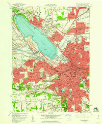 1958 Syracuse West1960 Print · USGSSyracuse and Onondaga Lake are seen here in the late fifties as suburban expansion reached communities like Fairmount and Mattydale. Researchers can trace the industrial footprint of Solvay, locate old family plots at Loomis Hill Cem, or find the Salt Museum and historic Fort Ste Marie De Ganidentaha.2 unique versions available
 - 1960 Map of Rochester
 1960 Rochester1960 Print · USGSThe Lake Ontario shoreline in the late fifties was a bustling corridor of rail and water commerce. Genealogists and historians can trace the path of the New York Central through canal towns like Newark or explore the coastal landmarks around Sackets Harbor.2 unique versions available
 - 1961 Map of Rochester, 1973 Print
 1961 Rochester1973 Print · USGSThe Lake Ontario shoreline and Finger Lakes frontier are shown here at the height of the mid-century infrastructure boom. Genealogists and historians can trace the rail-and-road evolution from Sackets Harbor down to the New York State Thruway, passing through centers like Pulaski and Adams Center.3 unique versions available
 - 1962 Map of Elmira, 1969 Print
 1962 Elmira1969 Print · USGSThe Finger Lakes region and Southern Tier are captured here during a period of industrial maturity and highway expansion. Researchers can trace the path of the Erie Canal, the footprint of the Seneca Army Depot, and legacy rail lines through Elmira and Ithaca.4 unique versions available
 - 1965 Map of Rochester
 1965 Rochester1965 Print · USGSUpstate New York's industrial heartland is captured here during a period of significant growth between the Great Lakes and the Finger Lakes. Genealogists and historians can trace the evolution of canal towns and rail hubs from Rochester to Syracuse, noting features like the Erie Canal and the New York State Thruway.
 - 1965 Map of Elmira
 1965 Elmira1965 Print · USGSThe Finger Lakes and Southern Tier regions are captured in the mid-sixties, showcasing a landscape of deep glacial valleys and heavy rail infrastructure. Trace old railroad corridors like the Pennsylvania RR or visit landmarks like Letchworth State Park and the Seneca Army Depot.
 - 1973 Map of Syracuse West, 1975 Print
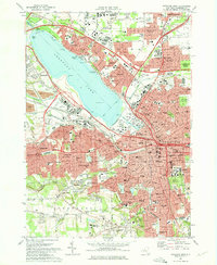 1973 Syracuse West1975 Print · USGSGreater Syracuse and the Onondaga Lake shoreline are captured in the early seventies during a period of peak suburban and infrastructure expansion. Researchers can trace the boundaries of Syracuse University, the State Fairgrounds, and local landmarks like Solvay and Split Rock.2 unique versions available
 - 1973 Map of South Onondaga, 1977 Print
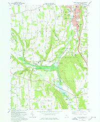 1973 South Onondaga1977 Print · USGSThe southern outskirts of Syracuse meet the rural valleys of Onondaga County during the early 1970s. Researchers can trace family history through several hamlets and landmarks like Baileys Settlement, Onondaga Castle, and Cedarvale Cem.
 - 1973 Map of Jamesville, 1977 Print
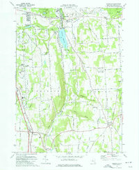 1973 Jamesville1977 Print · USGSCentral New York south of Syracuse in the early seventies shows a landscape of steep ridges and deep glacial valleys. Genealogists and historians can trace family locations through sites like Onativia Church, Pioneer Cemetery, and Fillmore Corner.
Showing maps 1-25 of 48
Top cities near Syracuse
- Clay historical maps
- Manlius historical maps
- Salina historical maps
- Cicero historical maps
- DeWitt historical maps
- De Witt historical maps
See more
Top neighborhoods of Syracuse
- Clinton Square historical maps
- University Neighborhood historical maps
- Meadowbrook historical maps
- Armory Square historical maps
- Westside historical maps
- Near Northeast historical maps
See more
Frequently asked questions
- What are the different types of historical maps available for Syracuse?
- What is the oldest map of Syracuse?
- Where can I purchase historical maps of Syracuse for my home or office?
- Where can I download high-res historical maps of Syracuse?
- Are there historical topographic maps available for Syracuse?
- Is there historical aerial imagery available for Syracuse?
- Where are historical maps of Syracuse sourced from?