Old Maps of Newburgh, New York for Metal Detecting
Plan your next treasure hunt with 27 historic maps of Newburgh. Find old homesites, ghost towns, trails, and gathering spots that may be lost to time — perfect for identifying promising metal detecting locations.
- Locate forgotten sites: Uncover places like long-lost settlements, abandoned rail lines, or gathering spots.
- Plan better hunts: Use map overlays combined with LiDAR or satellite views to narrow in on historically rich areas.
- Made for detectorists: Thousands of hobbyists use these maps to discover relics, coins, and hidden history.
Use these historic maps to boost your research and find new opportunities beneath the surface of Newburgh.
Newburgh, NY maps
(27)- 1902 Map of Schunemunk
 1902 Schunemunk1902 Print · USGSOrange County at the turn of the century shows a landscape defined by the rise of the railroad and the enduring presence of the Highlands. Genealogists and historians can trace old homesteads and industrial sites like Bull Mine, Oxford Depot, and the riverfront at Cornwall Landing.10 unique versions available
 - 1903 Map of Newburg
 1903 Newburg1903 Print · USGSThe Hudson Valley was entering a period of rapid industrial and rail expansion when this survey was conducted. Researchers can trace the path of the New England RR, find local landmarks like the Powder Works, and locate old hamlets such as Ganahgote and Leptondale.10 unique versions available
 - 1930 Map of Schunemunk
 1930 Schunemunk1930 Print · USGSOrange County's rail and river landscapes come into sharp focus during the late Prohibition era. Researchers can trace historic district schoolhouses like Elmwood No. 6 School and the critical junction points of the ERIE RR near Vails Gate Junction.3 unique versions available
 - 1935 Map of Schunemunk
 1935 Schunemunk1935 Print · USGSOrange County in the mid-1930s is a crossroads of heavy rail and Hudson River commerce. Genealogists and historians can trace defunct rail sidings, old school sites like Quaker Hill Sch, and industrial landmarks from Bull Mine to Firthcliffe.4 unique versions available
 - 1946 Map of Newburgh, 1964 Print
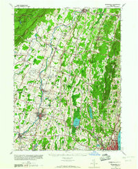 1946 Newburgh1964 Print · USGSMid-Hudson Valley life in the mid-forties is captured here, showing the region as it transitioned from a rural agricultural economy to a postwar industrial hub. Genealogists and local historians can locate dozens of small schools and cemeteries, from the New Paltz Cemetery to the Montgomery Worsted Mills.
 - 1947 Map of Cornwall
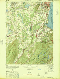 1947 Cornwall1947 Print · USGSOrange County near the Hudson River is shown here just after the war, featuring the major expansion of Stewart AAF and local rail activity. Trace the routes of the Erie Railroad through industrial Salisbury Mills or locate the rural Mt Airy School.2 unique versions available
 - 1947 Map of Newburgh North
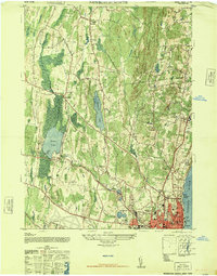 1947 Newburgh North1947 Print · USGSMid-century Orange County comes alive along the western Hudson at a time when river transport and rural schoolhouses defined the landscape. Genealogists can trace family names through the Plattekill School and Savilton, or locate landmarks like Pine Point Casino.
 - 1950 Map of Scranton, 1952 Print
 1950 Scranton1952 Print · USGSMid-century Northeast Pennsylvania and the Hudson Valley come alive in this survey of the tri-state region. Genealogists and historians can trace the dense rail networks of the Erie RR and DL&W RR between industrial hubs like Scranton and Wilkes-Barre.
 - 1953 Map of Scranton
 1953 Scranton1953 Print · USGSNortheastern Pennsylvania and the Catskills are shown in great detail during the early fifties, a time when rail lines and river valleys dictated the region's growth. Genealogists and historians can trace the industrial hearts of Scranton and Wilkes-Barre or locate remote landmarks like High Point and Lake Wallenpaupack.
 - 1957 Map of Cornwall, 1959 Print
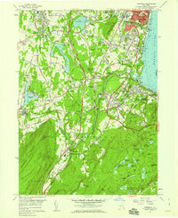 1957 Cornwall1959 Print · USGSThe western banks of the Hudson River thrive in the late fifties, where industrial towns meet military outposts and mountain parks. Genealogists can trace family roots at Woodlawn Cemetery or locate historic sites like Orrs Mill and Knox Headquarters.5 unique versions available
 - 1957 Map of Newburgh, 1959 Print
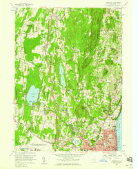 1957 Newburgh1959 Print · USGSMid-century Newburgh and its western hinterlands are caught here just as the Thruway began reshaping the Hudson Valley. Local historians can trace established landmarks like the Pine Pt Casino on Orange Lake or genealogy details at Belknap Cem.4 unique versions available
 - 1959 Map of Scranton
 1959 Scranton1959 Print · USGSThe northern coalfields and the Hudson Valley meet in this mid-century survey of the Pennsylvania and New York borderlands. Genealogists and historians can trace the intricate rail networks of the Erie Railroad and the vast waters of Lake Wallenpaupack.2 unique versions available
 - 1962 Map of Scranton, 1977 Print
 1962 Scranton1977 Print · USGSThe industrial heart of eastern Pennsylvania and the New York Catskills are captured here in the early sixties. Genealogists and historians can trace the dense valley settlements from Scranton to Wilkes-Barre and the rail lines of the Erie Lackawanna Railroad.2 unique versions available
 - 1965 Map of Scranton
 1965 Scranton1965 Print · USGSThe tri-state highlands of Pennsylvania, New York, and New Jersey come alive in the mid-sixties as industry and recreation converge. Trace the intricate rail lines of the Erie Lackawanna RR or locate landmarks like the U S Military Academy.2 unique versions available
 - 1986 Map of Middletown
 1986 Middletown1986 Print · USGSThe Tri-State region comes alive in the mid-1980s, documenting the corridor from the Hudson River to the Delaware Water Gap. Researchers can trace the sprawling grounds of West Point, the extensive Conrail rail network, and early suburban growth around Middletown and Suffern.2 unique versions available
 - 1986 Map of Monticello
 1986 Monticello1986 Print · USGSThe Catskills and Shawangunk Ridge meet in the mid-eighties, showing a landscape defined by massive reservoirs and valley towns. Genealogists and researchers can trace the growth of Monticello, Ellenville, and New Paltz alongside landmarks like Mohonk Preserve and Stewart Airport.2 unique versions available
 - 1994 Map of Cornwall-on-Hudson, 2000 Print
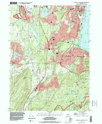 1994 Cornwall-on-Hudson2000 Print · USGSThe Hudson Highlands meet the river in the mid-1990s, where steep ridgelines overlook a landscape shaped by military history and regional infrastructure. Genealogists and historians can trace institutional sites like the N Y Mil Academy, Epiphany Apostolic College, and burial grounds at Calvary Cemetery.
 - 2010 Map of Newburgh, 2010 Print
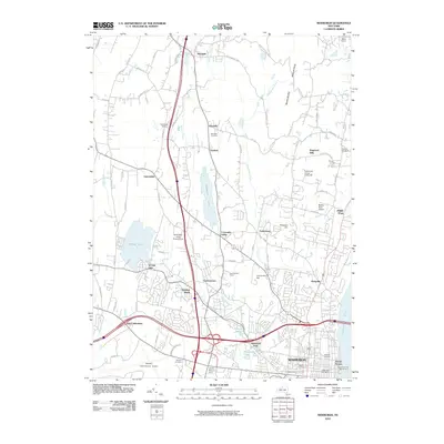 2010 Newburgh2010 Print · USGSNewburgh and the Hudson River highlands appear here in the early twenty-first century, showcasing a transition from historic riverfront to modern transportation hub. Researchers can trace family roots through Rossville Cemetery, locate the Newburgh And Beacon Ferry, or explore landmarks like Saint Mary of the Angels Camp.
 - 2010 Map of Cornwall-on-Hudson, 2010 Print
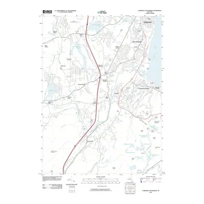 2010 Cornwall-on-Hudson2010 Print · USGSOrange County near the turn of the millennium shows a landscape of riverfront towns and upland forests. Genealogists and local historians can trace burial sites from Calvary Cemetery to Willow Dell Cemetery and locate older landmarks like Orrs Mill and Cornwall Landing.
 - 2013 Map of Newburgh, 2013 Print
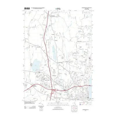 2013 Newburgh2013 Print · USGSThe northern Newburgh suburbs and southern Ulster County border are shown here in the early twenty-first century as modern neighborhoods expand near older orchards. Researchers can trace local heritage at Plattekill Friends Cemetery, Orange Lake, and Mt Saint Mary College.
 - 2013 Map of Cornwall-on-Hudson, 2013 Print
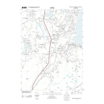 2013 Cornwall-on-Hudson2013 Print · USGSThe Hudson Highlands meet the river in this late-career survey, documenting the developed valley corridor from Cornwall-on-Hudson to Salisbury Mills. Trace local lineage and land use through Woodlawn Cem, Orrs Mill, and the many reservoirs like Aleck Meadow Reservoir.
 - 2016 Map of Cornwall-on-Hudson, 2016 Print
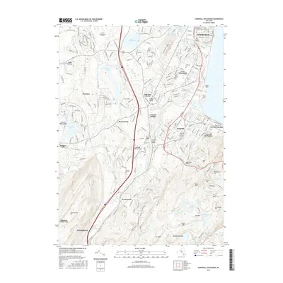 2016 Cornwall-on-Hudson2016 Print · USGSThe Hudson River's western shore comes alive in this survey of the Highlands region, showing the transition from the streets of Newburgh to the heights of West Point. Researchers can locate several historic burial grounds like Calvary Cemetery or trace the winding course of Moodna Creek through Orrs Mill.
 - 2016 Map of Newburgh, 2016 Print
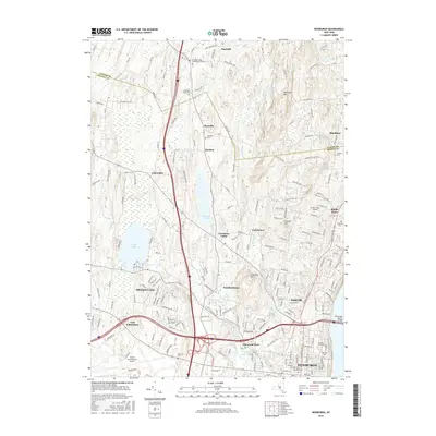 2016 Newburgh2016 Print · USGSThe Hudson Highlands and Newburgh's northern suburbs come into focus during this mid-decade survey. Researchers can trace historic burial sites and local landmarks like the Plattekill Friends Cem, Orange Lake, and the campus of Mt Saint Mary Coll.
 - 2019 Map of Cornwall-on-Hudson, 2019 Print
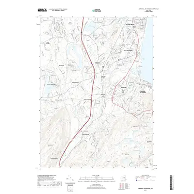 2019 Cornwall-on-Hudson2019 Print · USGSThe Hudson Highlands transition from the bustling streets of Newburgh to the heights of Schunemunk Mtn in this 2010s survey. Researchers can trace local genealogy at Pleasant Hill Cem or locate the historic Idlewild Creek Bridge near Firthcliffe.
 - 2019 Map of Newburgh, 2019 Print
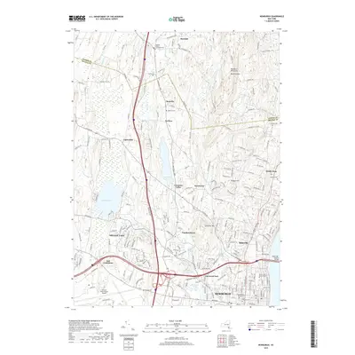 2019 Newburgh2019 Print · USGSThe northern Hudson Valley comes into focus in this contemporary survey of the Orange and Ulster county line. Genealogists can trace family names and sites across the Old Town Cem, Mount Saint Mary College, and the quiet orchards near Rossville.
Showing maps 1-25 of 27
Top cities near Newburgh
- Poughkeepsie historical maps
- Cortlandt historical maps
- Yorktown historical maps
- Palm Tree historical maps
- Kiryas Joel historical maps
- Warwick historical maps
See more
Top neighborhoods of Newburgh
Frequently asked questions
- What are the different types of historical maps available for Newburgh?
- What is the oldest map of Newburgh?
- Where can I purchase historical maps of Newburgh for my home or office?
- Where can I download high-res historical maps of Newburgh?
- Are there historical topographic maps available for Newburgh?
- Is there historical aerial imagery available for Newburgh?
- Where are historical maps of Newburgh sourced from?