2010s Maps of Boylston, New York
Explore 16 historic maps of Boylston from the 2010s. These maps offer a rare glimpse into what life looked like during the 2010s — showing old roads, neighborhoods, homes, and landmarks that have changed or disappeared over time.
Whether you're researching your family's past, planning a metal detecting trip, or studying how Boylston's landscape evolved across the 2010s, these high-resolution maps are a powerful tool for exploring the history of this region.
- Focus on a specific era: All maps on this page are from the 2010s, giving you a focused view of this time period.
- See what’s changed: Compare century-old streets, trails, and buildings to today's modern landscape using overlays and satellite layers.
- Research with precision: Use these maps for genealogy, historical research, land use analysis, or educational projects.
- View, download, or print: Maps are fully viewable online in high resolution, and can be downloaded or printed for your own records.
Start exploring Boylston's history through authentic maps from the 2010s. This is your window into the past.
Boylston, NY maps
(16)- 2010 Map of Sandy Creek, 2010 Print
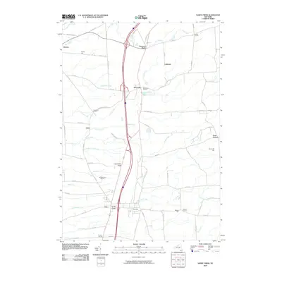 2010 Sandy Creek2010 Print · USGSThe villages of Sandy Creek and Lacona are shown alongside their neighboring rural hamlets during the early twenty-first century. Researchers can locate several burial grounds including Union and Wesleyan Cemetery, or trace the winding course of Skinner Creek.
 - 2010 Map of Richland, 2010 Print
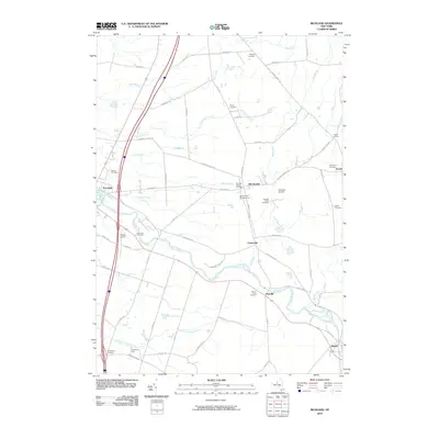 2010 Richland2010 Print · USGSRichland and Pulaski are captured here at the start of the 2010s, showing a landscape defined by the Salmon River. Researchers can trace local genealogy through numerous sites like Evergreen Cemetery, Stevens Cemetery, and the hamlet of Pineville.
 - 2010 Map of Boylston Center, 2010 Print
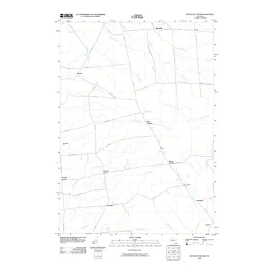 2010 Boylston Center2010 Print · USGSThe rural crossroads of northern New York are mapped here in the early twenty-first century, showing a landscape of small hamlets and winding waterways. Researchers can locate family sites near Saint Josephs Cemetery, Smartville, and the remote Tamarack Swamp.
 - 2010 Map of Orwell, 2010 Print
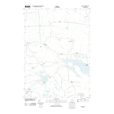 2010 Orwell2010 Print · USGSOswego County's managed waterways and rural hamlets are documented in this late-era survey of the Salmon River valley. Researchers can locate family sites and local landmarks including the Chateaugay Cemetery, Bennett Bridge, and the Salmon River Fish Hatchery.
 - 2013 Map of Richland, 2013 Print
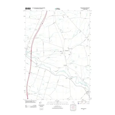 2013 Richland2013 Print · USGSOswego County's river-cut landscape is documented here in the early twenty-first century, centered on the Salmon River valley. Researchers can locate numerous family burial grounds like Gilbert Hill Cem and trace the small-town layouts of Altmar and Richland.
 - 2013 Map of Sandy Creek, 2013 Print
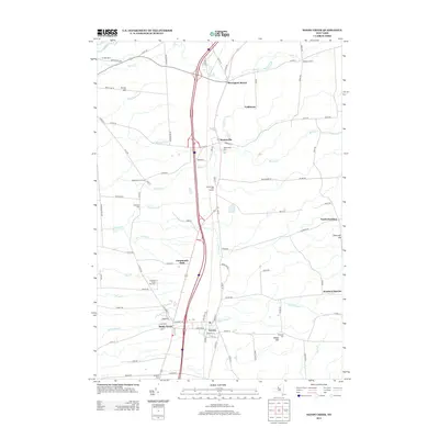 2013 Sandy Creek2013 Print · USGSSandy Creek and Lacona anchor this northern New York landscape in the early twenty-first century, where local life follows the paths of Interstate 81 and numerous winding creeks. Genealogists can trace family roots at Union Cem, Maplewood Cem, and Wesleyan Cem or explore established hamlets like Mannsville and Pierrepont Manor.
 - 2013 Map of Orwell, 2013 Print
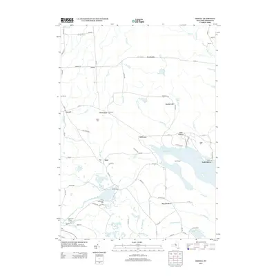 2013 Orwell2013 Print · USGSThe Salmon River valley comes into sharp focus during this period, showing a landscape defined by hydroelectric potential and outdoor recreation. Researchers can locate family burial grounds at Pekin Cem or trace the river's path past Salmon River Falls and the Salmon River Fish Hatchery.
 - 2013 Map of Boylston Center, 2013 Print
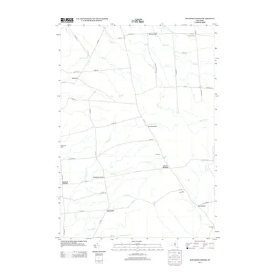 2013 Boylston Center2013 Print · USGSBoylston Center and its surrounding hamlets are documented here in the early twenty-first century, showcasing a rural New York landscape of quiet crossroads and winding creeks. Researchers can trace family history at Saint Josephs Cem or locate the historic sites of Smartville and Greenboro.
 - 2016 Map of Boylston Center, 2016 Print
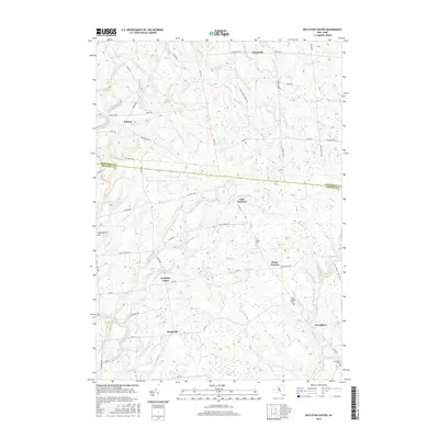 2016 Boylston Center2016 Print · USGSThe Jefferson and Oswego county line cuts through this rural landscape in the mid-2010s, showing a region of quiet hamlets and deep woods. Local historians can trace family roots through sites like Phelps Cem or locate the old crossroads at Smartville and Boylston Center.
 - 2016 Map of Richland, 2016 Print
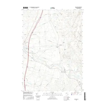 2016 Richland2016 Print · USGSOswego County's river valleys and rural townships are captured here in the mid-2010s as the Salmon River ties together the village of Pulaski and the hamlet of Altmar. Researchers can trace old family burial grounds including Richland Village Cem, Evergreen Cem, and Riverside Cem.
 - 2016 Map of Orwell, 2016 Print
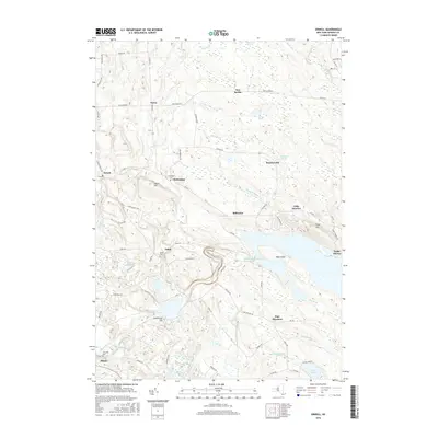 2016 Orwell2016 Print · USGSOswego County’s lake-effect uplands are captured here in the mid-2010s, centered on the significant waters of the Salmon River Reservoir. Genealogists and local historians can locate smaller settlements like Beecherville and Vorea alongside family burial sites at Chateaugay Cem.
 - 2016 Map of Sandy Creek, 2016 Print
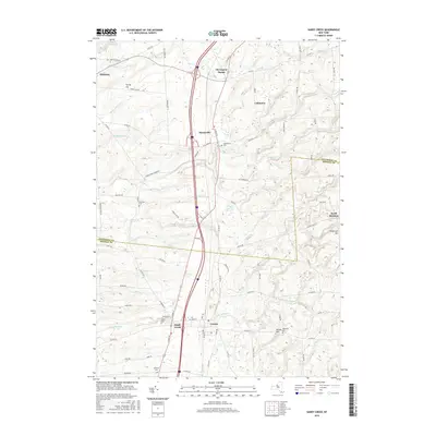 2016 Sandy Creek2016 Print · USGSSandy Creek and the Oswego-Jefferson county line are captured here in the early twenty-first century as the area's rural landscape endures. Local historians can trace established settlements at Mannsville and Lacona alongside several pioneer burial sites like Union Cem and Scripture Cem.
 - 2019 Map of Richland, 2019 Print
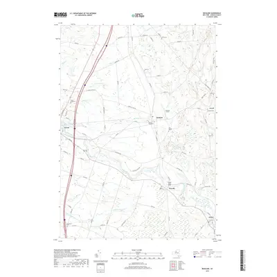 2019 Richland2019 Print · USGSOswego County's river valleys and rural hamlets are mapped here in the late twenty-teens, showcasing a landscape defined by the winding Salmon River. Genealogists can trace family names through numerous burial sites like Blue Springs Cemetery and McClelland Cemetery.
 - 2019 Map of Boylston Center, 2019 Print
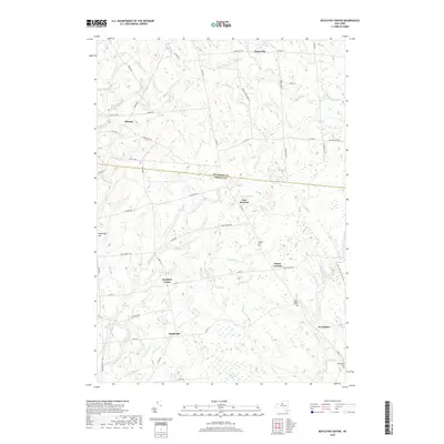 2019 Boylston Center2019 Print · USGSThe borderlands of Jefferson and Oswego counties appear here in their modern rural character. Researchers can trace family history through locations like Phelps Cemetery and the hamlets of Boylston Center, Smartville, and Winona.
 - 2019 Map of Orwell, 2019 Print
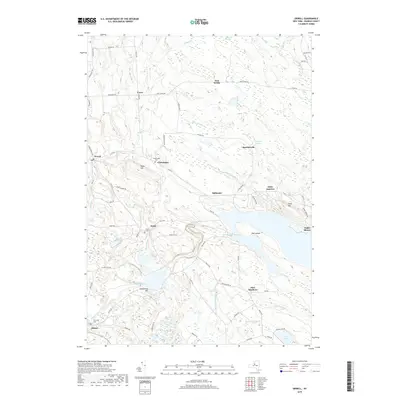 2019 Orwell2019 Print · USGSEastern Oswego County appears here in the late twenty-teens, showing a landscape shaped by the Salmon River and its major reservoirs. Researchers can locate early family sites near Chateaugay Cem, the hamlet of Altmar, or the historic Salmon River Falls.
 - 2019 Map of Sandy Creek, 2019 Print
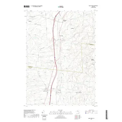 2019 Sandy Creek2019 Print · USGSThe borderlands of Oswego and Jefferson counties are captured here in 2019, showing the distinct layout of neighboring Sandy Creek and Lacona. Researchers can trace local heritage through numerous historic burial grounds including Woodlawn Cemetery and the Boylston Sandy Creek Wesleyan Cemetery.
End of results
Showing maps 1-16 of 16
Top cities near Boylston
- Richland historical maps
- Adams historical maps
- Champion historical maps
- Sandy Creek historical maps
- Ellisburg historical maps
- Hounsfield historical maps
See more
Top neighborhoods of Boylston
- East Boylston historical maps
- Hemlock District historical maps
- Smartville historical maps
- Plantz Corners historical maps
- Boylston Center historical maps
- North Boylston historical maps
Frequently asked questions
- What are the different types of historical maps available for Boylston?
- What is the oldest map of Boylston?
- Where can I purchase historical maps of Boylston for my home or office?
- Where can I download high-res historical maps of Boylston?
- Are there historical topographic maps available for Boylston?
- Is there historical aerial imagery available for Boylston?
- Where are historical maps of Boylston sourced from?