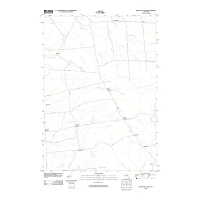
2010 Map of Boylston Center
USGS Topo · Published 2010About this map
Boylston Center serves as a central point in this rural landscape, where a network of county roads connects small settlements across the northern New York countryside. The area is defined by a dendritic drainage pattern of numerous creeks, including Bear Creek, Fox Creek, and Raystone Creek, which wind through the low-lying terrain. To the south, the expansive Tamarack Swamp and the elevation of Shoecraft Hill provide a contrast to the settled crossroads.
Find a feature on this map
52 named features on this map. Tap any name to fly to it.
Don’t see what you’re looking for? This feature index may not catch every label — zoom into the map to look around manually.
Map Details
Editions of this 2010 Boylston Center Map
This is the sole edition of this map. No revisions or reprints were ever made.
Other maps of this area

1893 · Sackets Harbor
USGS Topo · 1:62,500

1895 · Sacketts Harbor
USGS Topo · 1:62,500

1895 · Pulaski
USGS Topo · 1:62,500

1895 · Watertown
USGS Topo · 1:62,500

1898 · Watertown
USGS Topo · 1:62,500

1903 · Orwell
USGS Topo · 1:62,500

1905 · Orwell
USGS Topo · 1:62,500

1908 · Watertown
USGS Topo · 1:62,500

1909 · Watertown
USGS Topo · 1:62,500

1942 · Sandy Creek
USGS Topo · 1:24,000