Old Maps of Cleveland, Constantia for Academic Research
Study the evolution of Cleveland with 27 high-resolution historic maps. Whether you're teaching, researching, or modeling changes in land use, these maps provide essential visual documentation of urban, environmental, and geographic change.
- Analyze long-term change: Track patterns in development, transportation, and natural features.
- Ideal for environmental or urban studies: Support academic projects with primary historical map data.
- Use in the classroom or lab: Educators and researchers rely on these maps to bring historical context to life.
These maps are a powerful tool for teaching, research, and visualizing how Cleveland has changed over the decades.
Cleveland, Constantia maps
(27)- 1895 Map of Chittenango
 1895 Chittenango1895 Print · USGSMadison County and the southern shores of Oneida Lake are shown here at the height of the canal and rail era. Researchers can trace the path of the Erie Canal through Chittenango and Canastota or locate vanished sites like Fyler Settlement.
 - 1898 Map of Chittenango
 1898 Chittenango1898 Print · USGSThe northern shore of Oneida Lake and the bustling Erie Canal corridor are captured here during the peak of New York's rail expansion. Researchers can trace the original canal path through Chittenango or locate vanished stops along the West Shore R. R. and Elmira and Cortland Br.
 - 1902 Map of Chittenango
 1902 Chittenango1902 Print · USGSMadison and Onondaga Counties are shown at a peak of rail and canal activity in the early 1900s. Genealogists and historians can trace the path of the Erie Canal through Canastota or locate smaller locales like Fyler Settlement and Quality Hill.7 unique versions available
 - 1941 Map of Cleveland
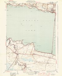
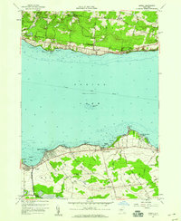
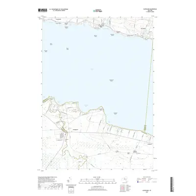
 1941 Cleveland1941 Print · USGSOneida Lake’s central waters and the surrounding shorelines are captured here in the early 1940s, highlighting a landscape of rail-connected villages and rural school districts. Genealogists can locate family landmarks like Smith Ridge Cem or trace the path of the New York Ontario and Western RR through Bernhard Bay.2 unique versions available
 - 1941 Map of Jewell
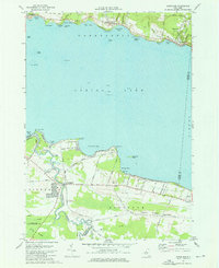
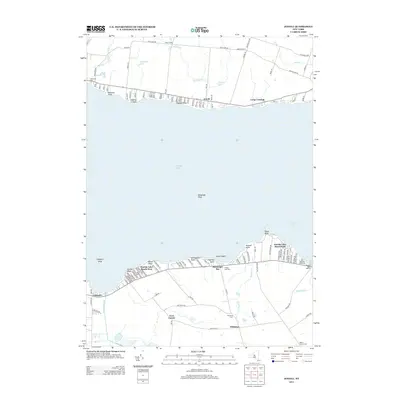
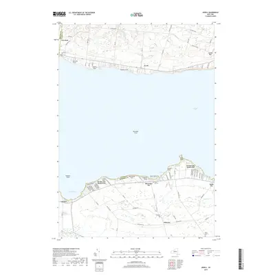
 1941 Jewell1941 Print · USGSOneida Lake shoreline communities in the early 1940s are documented here, showing a mix of established lakeside hamlets and inland farming hubs. Genealogists and local historians can locate early landmarks like Lakeport Chapel, West Church, and the rural Whitelaw Cem.
 - 1944 Map of Cleveland
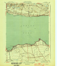
 1944 Cleveland1944 Print · USGSOneida Lake's northern and southern shores are captured here during the mid-1940s, showing a landscape defined by the railroad and the canal. Genealogists can trace family roots through school locations like Bushnell Sch and early road networks including Bull Street and Lagrange Road.2 unique versions available
 - 1944 Map of Jewell
 1944 Jewell1944 Print · USGSOneida Lake and its surrounding hamlets are captured here during the mid-forties, highlighting the vital lakefront economies of both the north and south shores. Genealogists and local historians can trace family locations near Jewell, Lakeport, or the Whitelaw Cem.2 unique versions available
 - 1950 Map of Utica, 1951 Print
 1950 Utica1951 Print · USGSCentral New York in the post-war era showcases the industrial Mohawk Valley and the pristine Adirondack interior. Researchers can trace transportation networks like the New York Central Railroad and find early Cold War sites such as Griffiss Air Force Base.
 - 1951 Map of Cleveland
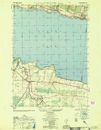 1951 Cleveland1951 Print · USGSOneida Lake and its northern shoreline villages are captured here in the early fifties, showing the region's transition into a modern transportation hub. Genealogists and local historians can trace the foundations of Cleveland, Bridgeport, and Constantia, alongside landmarks like Dakin Bay Sch and the Barge Canal Route.
 - 1957 Map of Utica
 1957 Utica1957 Print · USGSCentral New York and the Adirondack foothills are captured here in the mid-fifties, showing a landscape defined by the Mohawk River corridor and the growing highway system. Genealogists and researchers can trace the rail lines of the New York Central and locate communities from Lowville to Gloversville.
 - 1957 Map of Cleveland, 1959 Print
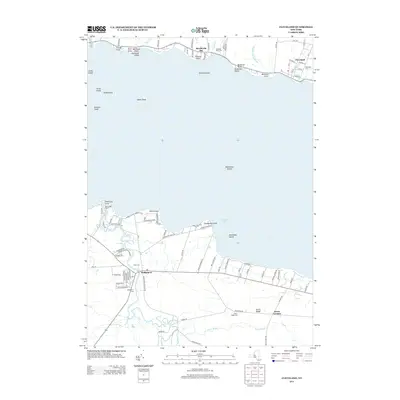
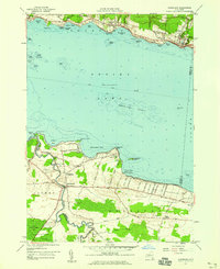 1957 Cleveland1959 Print · USGSOneida Lake’s southern and northern shores are captured in the late 1950s, showing the established communities of Cleveland and Bridgeport. Genealogists can trace family footprints near St Marys Ch, Bridgeport Central Sch, and the Cornell Univ Biological Field Sta.2 unique versions available
 - 1957 Map of Jewell, 1959 Print
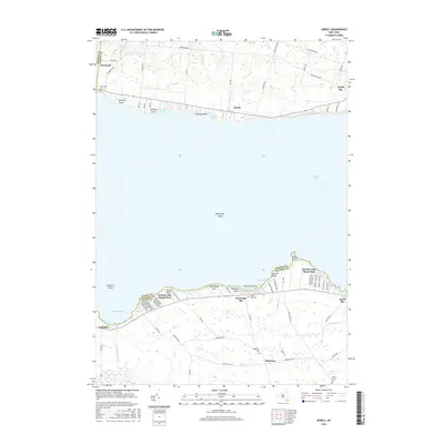
 1957 Jewell1959 Print · USGSOneida Lake was a center of lakeside recreation and rural life in the late fifties, spanning the shores of Madison and Oneida counties. Researchers can find lakeside landmarks like the seaplane base at Lakeport or trace family roots near Whitelaw Cemetery and Gees Corner.3 unique versions available
 - 1962 Map of Utica
 1962 Utica1962 Print · USGSCentral New York and the Adirondack wilderness are captured here during the mid-century era of highway and industrial expansion. Genealogists and historians can trace the development of the New York State Thruway and local rail lines connecting Utica, Rome, and Gloversville.3 unique versions available
 - 1964 Map of Utica
 1964 Utica1964 Print · USGSCentral New York and the high wilderness of the Adirondacks are captured here during the post-war era of infrastructure expansion. Researchers can trace the development of the New York State Thruway alongside historic corridors like the Oneida Lake (Barge Canal Route) and the N. Y. Central railroad.
 - 1967 Map of Utica
 1967 Utica1967 Print · USGSCentral New York's industrial Mohawk Valley meets the Adirondack wilderness in the 1960s, showing the region's transition from manufacturing hubs to state-managed parklands. Trace historic settlements and sites like Griffiss Air Force Base, Colgate University, and the Lyons Falls Paper Mill.
 - 1973 Map of Cleveland, 1976 Print
 1973 Cleveland1976 Print · USGSOneida Lake’s north and south shores are captured here in the early seventies, showing a landscape of quiet villages and expanding lakeside communities. Local historians can trace the Old RR Grade through Constantia, locate the Airfield (Aban'd) near Lakeport, or explore the wetland reaches of the Cicero Swamp.3 unique versions available
 - 1985 Map of Utica, 1986 Print
 1985 Utica1986 Print · USGSThe Mohawk Valley in the mid-eighties shows a landscape of industrial river cities and high-tech military hubs before the post-Cold War transition. Trace the development of Rome and Utica, the operations at Griffiss Air Force Base, and the lakeside activity at Oneida Lake.2 unique versions available
 - 2010 Map of Jewell, 2010 Print
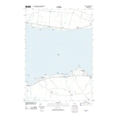 2010 Jewell2010 Print · USGSCovers Cleveland, including Sullivan, Lenox, and other nearby areas
 - 2010 Map of Cleveland, 2010 Print
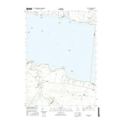
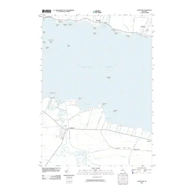 2010 Cleveland2010 Print · USGSCovers Cleveland, including Cicero, Sullivan, and other nearby areas
 - 2013 Map of Jewell, 2013 Print
 2013 Jewell2013 Print · USGSCovers Cleveland, including Sullivan, Lenox, and other nearby areas
 - 2013 Map of Cleveland, 2013 Print
 2013 Cleveland2013 Print · USGSCovers Cleveland, including Cicero, Sullivan, and other nearby areas
 - 2016 Map of Jewell, 2016 Print
 2016 Jewell2016 Print · USGSCovers Cleveland, including Sullivan, Lenox, and other nearby areas
 - 2016 Map of Cleveland, 2016 Print
 2016 Cleveland2016 Print · USGSCovers Cleveland, including Cicero, Sullivan, and other nearby areas
 - 2019 Map of Jewell, 2019 Print
 2019 Jewell2019 Print · USGSCovers Cleveland, including Sullivan, Lenox, and other nearby areas
 - 2019 Map of Cleveland, 2019 Print
 2019 Cleveland2019 Print · USGSCovers Cleveland, including Cicero, Sullivan, and other nearby areas
Showing maps 1-25 of 27
Top cities near Cleveland
- Syracuse historical maps
- Manlius historical maps
- Rome historical maps
- Cicero historical maps
- DeWitt historical maps
- De Witt historical maps
See more
Frequently asked questions
- What are the different types of historical maps available for Cleveland?
- What is the oldest map of Cleveland?
- Where can I purchase historical maps of Cleveland for my home or office?
- Where can I download high-res historical maps of Cleveland?
- Are there historical topographic maps available for Cleveland?
- Is there historical aerial imagery available for Cleveland?
- Where are historical maps of Cleveland sourced from?