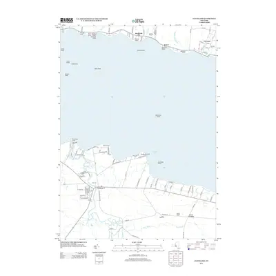
2013 Map of Cleveland
USGS Topo · Published 2013About this map
Oneida Lake dominates the central portion of this survey, with its northern and southern shores defined by established settlements and intricate wetland systems. On the northern bank, Bernhards Bay and Cleveland sit along the shoreline, where Cleveland Cem and Lakeside Rural Cem provide clear reference points for local researchers. The landscape is characterized by numerous points and islands, such as Willard Island and Dickinson Island, which suggest a shoreline shaped by both natural processes and recreational use, further evidenced by the Spruce Grove Marina.
Find a feature on this map
103 named features on this map. Tap any name to fly to it.
Don’t see what you’re looking for? This feature index may not catch every label — zoom into the map to look around manually.
Map Details
Editions of this 2013 Cleveland Map
This is the sole edition of this map. No revisions or reprints were ever made.
Other maps of this area

1895 · Chittenango
USGS Topo · 1:62,500

1895 · Syracuse
USGS Topo · 1:62,500

1898 · Syracuse
USGS Topo · 1:62,500

1898 · Chittenango
USGS Topo · 1:62,500

1902 · Chittenango
USGS Topo · 1:62,500

1905 · Mexico
USGS Topo · 1:62,500

1906 · Kasoag
USGS Topo · 1:62,500

1938 · Syracuse East
USGS Topo · 1:24,000

1940 · Cicero
USGS Topo · 1:24,000

1941 · Cleveland
USGS Topo · 1:24,000