2000s (21st Century) Maps of Volney, New York
Explore 20 historic maps of Volney from the 2000s (21st Century). These maps offer a rare glimpse into what life looked like during the 2000s — showing old roads, neighborhoods, homes, and landmarks that have changed or disappeared over time.
Whether you're researching your family's past, planning a metal detecting trip, or studying how Volney's landscape evolved across the 2000s, these high-resolution maps are a powerful tool for exploring the history of this region.
- Focus on a specific era: All maps on this page are from the 2000s, giving you a focused view of this time period.
- See what’s changed: Compare century-old streets, trails, and buildings to today's modern landscape using overlays and satellite layers.
- Research with precision: Use these maps for genealogy, historical research, land use analysis, or educational projects.
- View, download, or print: Maps are fully viewable online in high resolution, and can be downloaded or printed for your own records.
Start exploring Volney's history through authentic maps from the 2000s. This is your window into the past.
Volney, NY maps
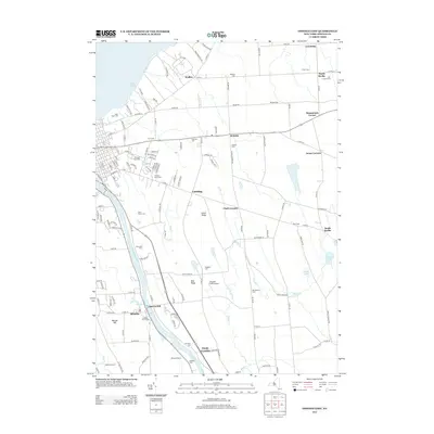
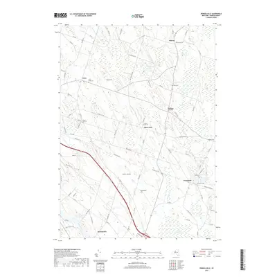
(20)- 2010 Map of Oswego East, 2010 Print
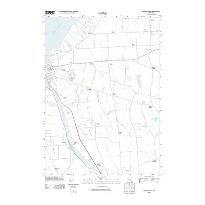 2010 Oswego East2010 Print · USGSCovers Volney, including Oswego, Oswego, and other nearby areas
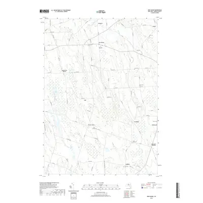
 - 2010 Map of New Haven, 2010 Print
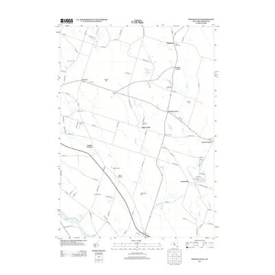
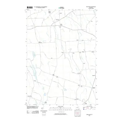 2010 New Haven2010 Print · USGSCovers Volney, including Scriba, Palermo, and other nearby areas
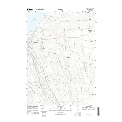
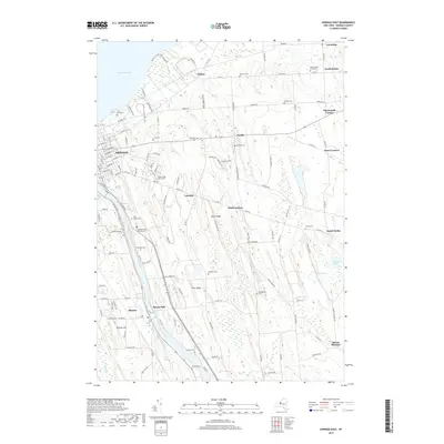
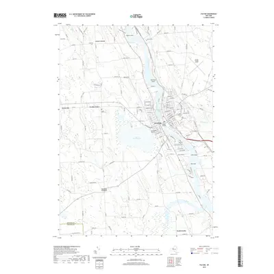
 - 2010 Map of Fulton, 2010 Print
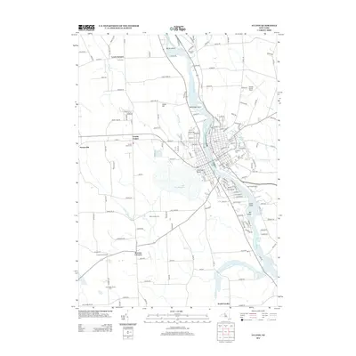
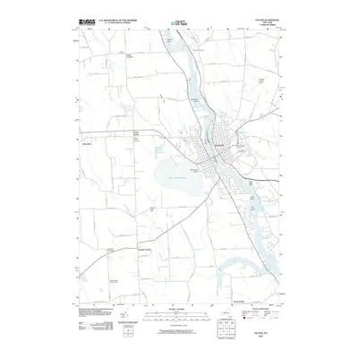 2010 Fulton2010 Print · USGSCovers Volney, including Fulton, Oswego, and other nearby areas
 - 2010 Map of Pennellville, 2010 Print
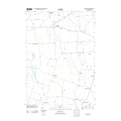
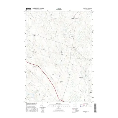
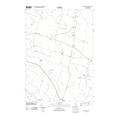 2010 Pennellville2010 Print · USGSCovers Volney, including Schroeppel, Granby, and other nearby areas
 - 2013 Map of Oswego East, 2013 Print
 2013 Oswego East2013 Print · USGSCovers Volney, including Oswego, Oswego, and other nearby areas
 - 2013 Map of New Haven, 2013 Print
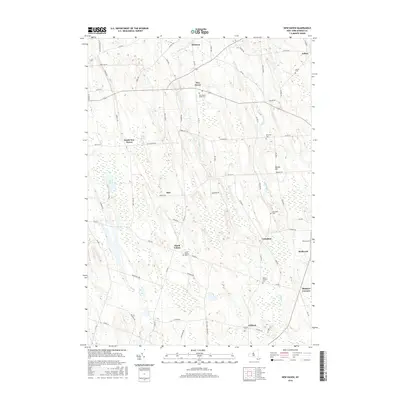
 2013 New Haven2013 Print · USGSCovers Volney, including Scriba, Palermo, and other nearby areas
 - 2013 Map of Fulton, 2013 Print
 2013 Fulton2013 Print · USGSCovers Volney, including Fulton, Oswego, and other nearby areas
 - 2013 Map of Pennellville, 2013 Print
 2013 Pennellville2013 Print · USGSCovers Volney, including Schroeppel, Granby, and other nearby areas
 - 2016 Map of Oswego East, 2016 Print
 2016 Oswego East2016 Print · USGSCovers Volney, including Oswego, Oswego, and other nearby areas
 - 2016 Map of Pennellville, 2016 Print
 2016 Pennellville2016 Print · USGSCovers Volney, including Schroeppel, Granby, and other nearby areas
 - 2016 Map of New Haven, 2016 Print
 2016 New Haven2016 Print · USGSCovers Volney, including Scriba, Palermo, and other nearby areas
 - 2016 Map of Fulton, 2016 Print
 2016 Fulton2016 Print · USGSCovers Volney, including Fulton, Oswego, and other nearby areas
 - 2019 Map of Pennellville, 2019 Print
 2019 Pennellville2019 Print · USGSCovers Volney, including Schroeppel, Granby, and other nearby areas
 - 2019 Map of Oswego East, 2019 Print
 2019 Oswego East2019 Print · USGSCovers Volney, including Oswego, Oswego, and other nearby areas
 - 2019 Map of New Haven, 2019 Print
 2019 New Haven2019 Print · USGSCovers Volney, including Scriba, Palermo, and other nearby areas
 - 2019 Map of Fulton, 2019 Print
 2019 Fulton2019 Print · USGSCovers Volney, including Fulton, Oswego, and other nearby areas
 - 2023 Map of New Haven, 2023 Print
 2023 New Haven2023 Print · USGSOswego County hamlets and rural crossroads are preserved in this modern study of the landscape south of Lake Ontario. Researchers can locate numerous family burial sites and historical junctions including Haven Rural Cem, North Volney, and Butterfly Creek.
 - 2023 Map of Fulton, 2023 Print
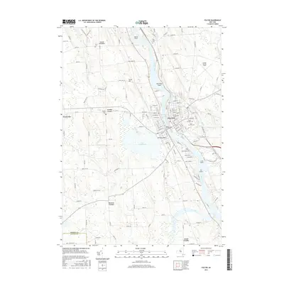
 2023 Fulton2023 Print · USGSThis recent survey of the Oswego River valley captures the industrial and agricultural landscape of central New York. Researchers can trace family history through several local burial grounds like Mount Abnah Cem or explore the shoreline of Lake Neatahwanta.
 - 2023 Map of Oswego East, 2023 Print
 2023 Oswego East2023 Print · USGSThe eastern reaches of Oswego and the rural interior of Scriba come into sharp focus in this modern survey of the Lake Ontario shoreline. Researchers can trace burial sites from Riverside Cem to Blossom Cem or locate families near Seneca Hill and Walker.
 - 2023 Map of Pennellville, 2023 Print
 2023 Pennellville2023 Print · USGSThe Oswego County countryside appears as a landscape of interconnected hamlets and wetlands in the early 2020s. Researchers can trace family history at Pennellville Cem or explore the drainage of Peter Scott Swamp and the Oswego River.
End of results
Showing maps 1-20 of 20
Top cities near Volney
- Clay historical maps
- Salina historical maps
- Lysander historical maps
- Geddes historical maps
- Oswego historical maps
- Van Buren historical maps
See more
Top neighborhoods of Volney
- Bundy Crossing historical maps
- Mount Pleasant historical maps
- North Volney historical maps
- Ingalls Crossing historical maps
- Seneca Hill historical maps
- Drakes Corner historical maps
Frequently asked questions
- What are the different types of historical maps available for Volney?
- What is the oldest map of Volney?
- Where can I purchase historical maps of Volney for my home or office?
- Where can I download high-res historical maps of Volney?
- Are there historical topographic maps available for Volney?
- Is there historical aerial imagery available for Volney?
- Where are historical maps of Volney sourced from?