2000s (21st Century) Maps of Mahopac, Carmel
Explore 20 historic maps of Mahopac from the 2000s (21st Century). These maps offer a rare glimpse into what life looked like during the 2000s — showing old roads, neighborhoods, homes, and landmarks that have changed or disappeared over time.
Whether you're researching your family's past, planning a metal detecting trip, or studying how Mahopac's landscape evolved across the 2000s, these high-resolution maps are a powerful tool for exploring the history of this region.
- Focus on a specific era: All maps on this page are from the 2000s, giving you a focused view of this time period.
- See what’s changed: Compare century-old streets, trails, and buildings to today's modern landscape using overlays and satellite layers.
- Research with precision: Use these maps for genealogy, historical research, land use analysis, or educational projects.
- View, download, or print: Maps are fully viewable online in high resolution, and can be downloaded or printed for your own records.
Start exploring Mahopac's history through authentic maps from the 2000s. This is your window into the past.
Mahopac, Carmel maps
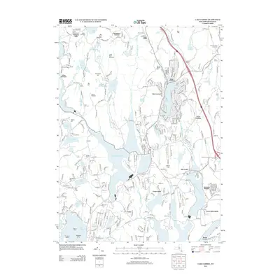
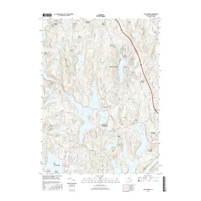
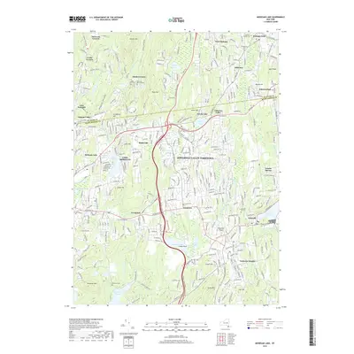
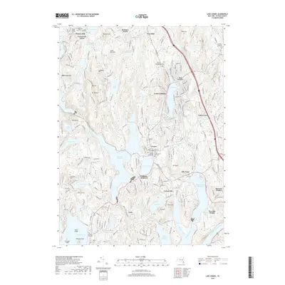
(20)- 2010 Map of Lake Carmel, 2010 Print
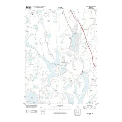 2010 Lake Carmel2010 Print · USGSCovers Mahopac, including Carmel, Southeast, and other nearby areas
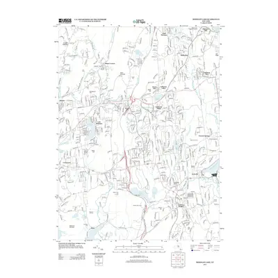
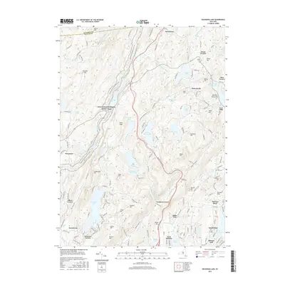
 - 2010 Map of Mohegan Lake, 2010 Print
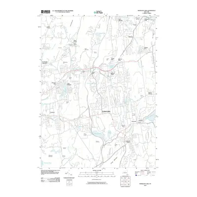 2010 Mohegan Lake2010 Print · USGSCovers Mahopac, including Cortlandt, Yorktown, and other nearby areas
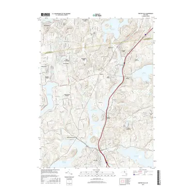
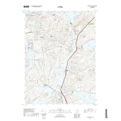
 - 2010 Map of Croton Falls, 2010 Print
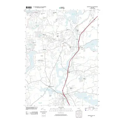 2010 Croton Falls2010 Print · USGSCovers Mahopac, including Carmel, Somers, and other nearby areas
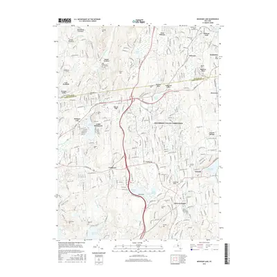
 - 2010 Map of Oscawana Lake, 2010 Print
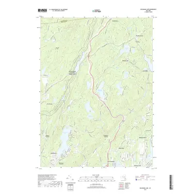
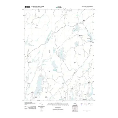 2010 Oscawana Lake2010 Print · USGSCovers Mahopac, including Carmel, East Fishkill, and other nearby areas
 - 2013 Map of Oscawana Lake, 2013 Print
 2013 Oscawana Lake2013 Print · USGSCovers Mahopac, including Carmel, East Fishkill, and other nearby areas
 - 2013 Map of Lake Carmel, 2013 Print
 2013 Lake Carmel2013 Print · USGSCovers Mahopac, including Carmel, Southeast, and other nearby areas
 - 2013 Map of Mohegan Lake, 2013 Print
 2013 Mohegan Lake2013 Print · USGSCovers Mahopac, including Cortlandt, Yorktown, and other nearby areas
 - 2013 Map of Croton Falls, 2013 Print
 2013 Croton Falls2013 Print · USGSCovers Mahopac, including Carmel, Somers, and other nearby areas
 - 2016 Map of Lake Carmel, 2016 Print
 2016 Lake Carmel2016 Print · USGSCovers Mahopac, including Carmel, Southeast, and other nearby areas
 - 2016 Map of Oscawana Lake, 2016 Print
 2016 Oscawana Lake2016 Print · USGSCovers Mahopac, including Carmel, East Fishkill, and other nearby areas
 - 2016 Map of Croton Falls, 2016 Print
 2016 Croton Falls2016 Print · USGSCovers Mahopac, including Carmel, Somers, and other nearby areas
 - 2016 Map of Mohegan Lake, 2016 Print
 2016 Mohegan Lake2016 Print · USGSCovers Mahopac, including Cortlandt, Yorktown, and other nearby areas
 - 2019 Map of Mohegan Lake, 2019 Print
 2019 Mohegan Lake2019 Print · USGSCovers Mahopac, including Cortlandt, Yorktown, and other nearby areas
 - 2019 Map of Oscawana Lake, 2019 Print
 2019 Oscawana Lake2019 Print · USGSCovers Mahopac, including Carmel, East Fishkill, and other nearby areas
 - 2019 Map of Croton Falls, 2019 Print
 2019 Croton Falls2019 Print · USGSCovers Mahopac, including Carmel, Somers, and other nearby areas
 - 2019 Map of Lake Carmel, 2019 Print
 2019 Lake Carmel2019 Print · USGSCovers Mahopac, including Carmel, Southeast, and other nearby areas
 - 2023 Map of Lake Carmel, 2023 Print
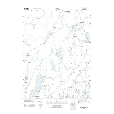
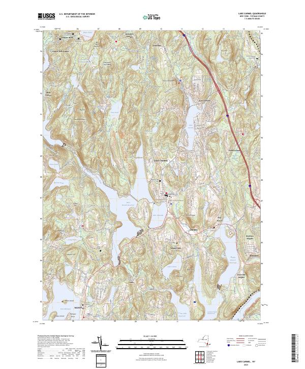 2023 Lake Carmel2023 Print · USGSThe Lake Carmel and Carmel area is shown here in the 2020s, defined by the expansive reservoirs of the Croton Watershed. Genealogists can trace family names at the Smalley Burial Ground, Raymond Hill Cemetery, and Gilead Cem.
 - 2023 Map of Croton Falls, 2023 Print
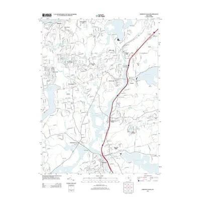
 2023 Croton Falls2023 Print · USGSThe Westchester and Putnam county line near the reservoirs is shown here in modern detail. Researchers can trace family history at Saint Josephs Cem or locate the historic Mount Zion church and landmarks like Watermelon Hill.
 - 2023 Map of Oscawana Lake, 2023 Print
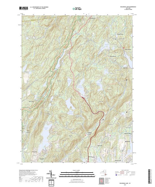 2023 Oscawana Lake2023 Print · USGSPutnam County's highlands and watersheds are captured here in the early twenty-first century, featuring a dense network of reservoirs and trails. Researchers can trace old family burials at Hill Cem and Bailey Cem or locate the industrial footprint of the Mahopac Mines.
 - 2023 Map of Mohegan Lake, 2023 Print
 2023 Mohegan Lake2023 Print · USGSWestchester and Putnam counties appear in the 2020s as a landscape of interconnected hamlets and protected water systems. Genealogists can trace family plots at Rose Hills or the Ballard-Barrett Cem, while hikers can locate the summits of Turkey Mountain and French Hill.
End of results
Showing maps 1-20 of 20
Top cities near Mahopac
- Stamford historical maps
- Clarkstown historical maps
- Danbury historical maps
- Poughkeepsie historical maps
- Mount Pleasant historical maps
- Cortlandt historical maps
See more
Top neighborhoods of Mahopac
Frequently asked questions
- What are the different types of historical maps available for Mahopac?
- What is the oldest map of Mahopac?
- Where can I purchase historical maps of Mahopac for my home or office?
- Where can I download high-res historical maps of Mahopac?
- Are there historical topographic maps available for Mahopac?
- Is there historical aerial imagery available for Mahopac?
- Where are historical maps of Mahopac sourced from?