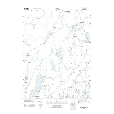
2013 Map of Oscawana Lake
USGS Topo · Published 2013About this map
Oscawana Lake and the high ridges of the Hudson Highlands define this landscape in Putnam County. This survey highlights a recurring pattern of rural settlement and recreation, with numerous clusters such as Oscawana Corners, Tompkins Corners, and Richardsville linked by historic road networks like the Taconic State Pkwy. The eastern portion of the map centers on the industrial and burial history of the region, featuring the Mahopac Mines and the Kent Cliffs Baptist Church Burying Ground.
Find a feature on this map
194 named features on this map. Tap any name to fly to it.
Don’t see what you’re looking for? This feature index may not catch every label — zoom into the map to look around manually.
Map Details
Editions of this 2013 Oscawana Lake Map
This is the sole edition of this map. No revisions or reprints were ever made.
Other maps of this area

1892 · West Point
USGS Topo · 1:62,500

1892 · Carmel
USGS Topo · 1:62,500

1893 · Carmel
USGS Topo · 1:62,500

1893 · Clove
USGS Topo · 1:62,500

1893 · Poughkeepsie
USGS Topo · 1:62,500

1894 · West Point
USGS Topo · 1:62,500

1894 · Clove
USGS Topo · 1:62,500

1894 · Carmel
USGS Topo · 1:62,500

1894 · Poughkeepsie
USGS Topo · 1:62,500

1898 · Clove
USGS Topo · 1:62,500