Old Maps of Cherryplain, Berlin for Academic Research
Study the evolution of Cherryplain with 25 high-resolution historic maps. Whether you're teaching, researching, or modeling changes in land use, these maps provide essential visual documentation of urban, environmental, and geographic change.
- Analyze long-term change: Track patterns in development, transportation, and natural features.
- Ideal for environmental or urban studies: Support academic projects with primary historical map data.
- Use in the classroom or lab: Educators and researchers rely on these maps to bring historical context to life.
These maps are a powerful tool for teaching, research, and visualizing how Cherryplain has changed over the decades.
Cherryplain, Berlin maps
(25)- 1888 Map of Berlin
 1888 Berlin1888 Print · USGSRensselaer County at the close of the nineteenth century was a region of high ridges and narrow rail-linked valleys. Researchers can trace the path of the Lebanon Springs Railroad and locate vanished farmsteads in Barber Hollow or Mc Master Hollow.2 unique versions available
 - 1890 Map of Berlin
 1890 Berlin1890 Print · USGSThe New York and Massachusetts borderlands in the 1880s were a landscape of steep ridges and rail-connected valley towns. Genealogists and historians can trace the old corridors of the Lebanon Springs Railroad and locate vanished family landmarks near Berlin Center, Garfield, and East Poestenkill.
 - 1894 Map of Berlin
 1894 Berlin1894 Print · USGSThe Rensselaer and Berkshire borderlands come alive in the late nineteenth century, showing a landscape of valley settlements and upland hollows. Trace the path of the Lebanon Springs Railroad as it connects Berlin Center, North Stephentown, and Garfield.
 - 1898 Map of Berlin
 1898 Berlin1898 Print · USGSRensselaer County valley towns and the Taconic highlands are captured in the late nineteenth century as the Lebanon Springs Railroad linked the region. Genealogists can trace family locations in Berlin, Stephentown, and Hancock, or find landmarks like Buckwheat Hill and Barber Hollow.10 unique versions available
 - 1900 Map of Taconic
 1900 Taconic1900 Print · USGSThe tri-state border region of the Taconic Mountains thrived at the turn of the century as a hub of rail travel and valley industry. Genealogists and historians can trace the early footprints of Hoosick Falls, Bennington, and the winding path of the Rutland R.R.4 unique versions available
 - 1944 Map of Berlin, 1958 Print
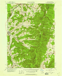 1944 Berlin1958 Print · USGSRensselaer County at the close of World War II shows a high-country landscape where the Rutland railroad and the Little Hoosic River defined local life. Genealogists and hikers can trace old valley settlements like Center Berlin and Cherryplain, or find historic trails leading toward Berlin Mtn.
 - 1948 Map of Berlin
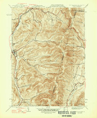 1948 Berlin1948 Print · USGSThe Taconic Mountains meet the New York and Massachusetts border in this post-war landscape of ridges and deep hollows. Researchers can trace the Rutland rail line through the valley or locate early landmarks like East Hollow Sch and Cherryplain.2 unique versions available
 - 1948 Map of Albany, 1951 Print
 1948 Albany1951 Print · USGSThe Hudson and Connecticut River valleys are captured here in the late 1940s, showing the vital rail and water corridors of the Northeast. You can trace the Boston and Maine tracks past Mt Greylock or locate early settlements like Great Barrington and Bennington.
 - 1956 Map of Albany, 1968 Print
 1956 Albany1968 Print · USGSThe industrial heart of the Northeast is revealed in the mid-1950s, from the Hudson Valley to the Connecticut River. Researchers can trace the legacy of the Quabbin Reservoir, locate Westover Air Force Base, or follow the Rutland RR through the Green Mountains.2 unique versions available
 - 1957 Map of Albany
 1957 Albany1957 Print · USGSThe Tri-State region and Connecticut River Valley are captured here during a period of significant postwar growth and infrastructure expansion. Genealogists and historians can trace the rail-and-river economy through landmarks like the Boston and Maine railroad, Quabbin Reservoir, and Westover Air Force Base.
 - 1959 Map of Albany
 1959 Albany1959 Print · USGSThe Hudson and Connecticut River valleys are captured here during the late fifties, showing the region's dense rail networks and massive water projects. Researchers can trace the New York State Thruway or locate local landmarks like Mt Greylock and the Quabbin Reservoir.
 - 1960 Map of Berlin, 1961 Print
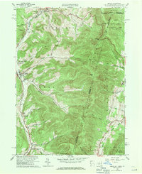 1960 Berlin1961 Print · USGSRensselaer County at the start of the sixties reveals a valley life shaped by the Taconic Range and the winding Little Hoosic River. Genealogists can trace family heritage through numerous hillside burial grounds like Brimmer Cem and Weaver Cem, or locate landmarks like the Carmelite Novitiate.2 unique versions available
 - 1962 Map of Albany
 1962 Albany1962 Print · USGSThe Hudson and Connecticut River valleys meet the Green Mountains and Berkshires in this mid-century overview of the Northeast. Genealogists and historians can trace the industrial hearts of Albany and Springfield or locate features like Quabbin Reservoir and Westover Air Force Base.
 - 1973 Map of Berlin, 1975 Print
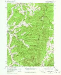 1973 Berlin1975 Print · USGSRensselaer County’s eastern border comes to life in the early 1970s as small valley towns sit beneath the high peaks of the Taconic Range. Genealogists and local historians can trace family-named sites like Moses Cem, Browns Cem, and the various hollows of Petersburg and Berlin.4 unique versions available
 - 1975 Map of Berlin, 1981 Print
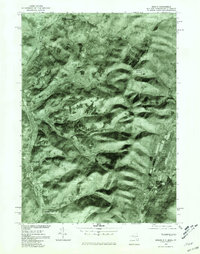 1975 Berlin1981 Print · USGSThe Rensselaer County highlands are captured in detail in the mid-1970s, showing the agricultural patterns and valley settlements of the Taconic region. Local historians can trace the development of Berlin and Petersburg along the Little Hoosic River.
 - 1986 Map of Albany
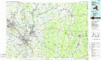 1986 Albany1986 Print · USGSThe Capital District and the tri-state highlands come into focus during the mid-eighties as urban growth meets the edge of the Green Mountains. Researchers can trace historic industrial sites and landmarks like the Watervliet Arsenal, the Bennington Battle Monument, and the grounds of Rensselaer Polytechnic Institute.
 - 1988 Map of Berlin
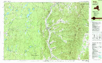 1988 Berlin1988 Print · USGSThe Rensselaer County highlands meet the borders of Massachusetts and Vermont in the late 1980s. Researchers can trace the Little Hoosic River valley settlements, find the Cherry Plain Sch, and locate remote sites like The Snow Hole or Moses Cem.
 - 1989 Map of Albany
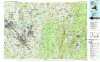 1989 Albany1989 Print · USGSThe tri-state intersection of New York, Vermont, and Massachusetts comes alive in the late 1980s, centered on the historic river confluence of the Capital District. Researchers can trace the extensive rail lines of the D & H RR and explore high peaks like Mount Greylock or the reaches of the Tomhannock Reservoir.2 unique versions available
 - 1997 Map of Berlin, 2000 Print
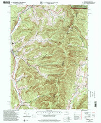 1997 Berlin2000 Print · USGSRensselaer County, New York, sits at the intersection of three states in the late nineties, where valley towns follow the Hoosic River. You can trace the Boston and Maine RR line past Meadow Lawn Cem, Cherryplain Sch, and the high ridges of the Petersburg Range.
 - 1998 Map of Berlin, 2001 Print
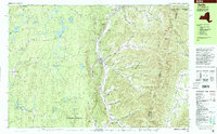 1998 Berlin2001 Print · USGSThe Little Hoosic River valley and the high Taconic ridges define this portion of Rensselaer County in the late 1990s. Researchers can trace rural lineages through family-named landmarks like Satterlee Hollow and several burial grounds including Fifty-Six Cem and Moses Cem.
 - 2011 Map of Berlin, 2011 Print
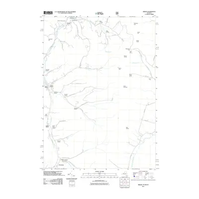 2011 Berlin2011 Print · USGSSettlement and recreation along the New York-Massachusetts border are mapped here in the early twenty-first century. Genealogists and historians can trace family-named hollows and sites like Center Berlin Cemetery, Haskin Farm, and the Taconic Trails Ski Area.
 - 2013 Map of Berlin, 2013 Print
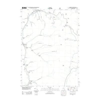 2013 Berlin2013 Print · USGSThe Taconic borderlands come alive in this survey of the river valleys and high ridges during the early twenty-first century. Genealogists and local historians can trace family-named sites across Greene Hollow, Center Berlin Cem, and the high pass at The Snow Hole.
 - 2016 Map of Berlin, 2016 Print
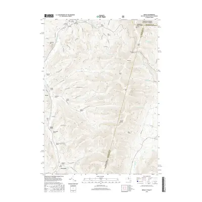 2016 Berlin2016 Print · USGSThe Taconic borderlands of New York and Massachusetts are captured here in the mid-2010s, showing a landscape defined by isolated hollows and mountain passes. Trace family history through numerous local burial sites like Moses and Meadow Lawn or explore the rugged heights of Berlin Mtn and The Snow Hole.
 - 2019 Map of Berlin, 2019 Print
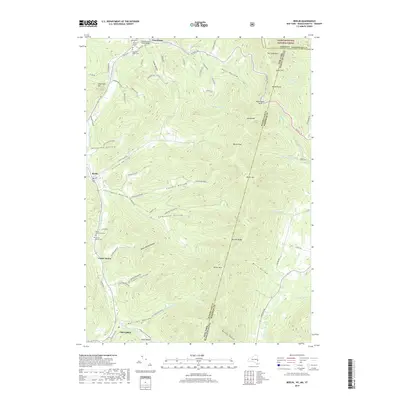 2019 Berlin2019 Print · USGSThe Little Hoosic River valley and the high peaks of the Taconic Range meet here at the 2010s New York and Massachusetts border. Trace local family history through numerous burial sites like Meadow Lawn Cem or explore the deep valleys of Cowdry Hollow and Mills Hollow.
 - 2023 Map of Berlin, 2023 Print
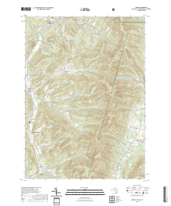 2023 Berlin2023 Print · USGSThe Little Hoosic River valley near the New York, Vermont, and Massachusetts borders remains a landscape of deep hollows and high ridges. Genealogists and hikers can trace the connections between Berlin, the Meadow Lawn Cem, and the high trails of the Taconic Range.
End of results
Showing maps 1-25 of 25
Top cities near Cherryplain
- Pittsfield historical maps
- North Adams historical maps
- Brunswick historical maps
- Bennington historical maps
- Sand Lake historical maps
- Adams historical maps
See more
Frequently asked questions
- What are the different types of historical maps available for Cherryplain?
- What is the oldest map of Cherryplain?
- Where can I purchase historical maps of Cherryplain for my home or office?
- Where can I download high-res historical maps of Cherryplain?
- Are there historical topographic maps available for Cherryplain?
- Is there historical aerial imagery available for Cherryplain?
- Where are historical maps of Cherryplain sourced from?