2010s Maps of Fowler, New York
Explore 24 historic maps of Fowler from the 2010s. These maps offer a rare glimpse into what life looked like during the 2010s — showing old roads, neighborhoods, homes, and landmarks that have changed or disappeared over time.
Whether you're researching your family's past, planning a metal detecting trip, or studying how Fowler's landscape evolved across the 2010s, these high-resolution maps are a powerful tool for exploring the history of this region.
- Focus on a specific era: All maps on this page are from the 2010s, giving you a focused view of this time period.
- See what’s changed: Compare century-old streets, trails, and buildings to today's modern landscape using overlays and satellite layers.
- Research with precision: Use these maps for genealogy, historical research, land use analysis, or educational projects.
- View, download, or print: Maps are fully viewable online in high resolution, and can be downloaded or printed for your own records.
Start exploring Fowler's history through authentic maps from the 2010s. This is your window into the past.
Fowler, NY maps
(24)- 2010 Map of Natural Dam, 2010 Print
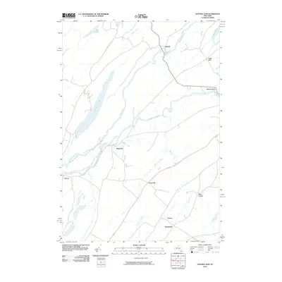 2010 Natural Dam2010 Print · USGSSaint Lawrence County at the start of the 2010s is defined by the winding Oswegatchie River and its riverside hamlets. Researchers can trace the rural layout of historic settlements like Natural Dam, Wegatchie, and Oxbow.
 - 2010 Map of Antwerp, 2010 Print
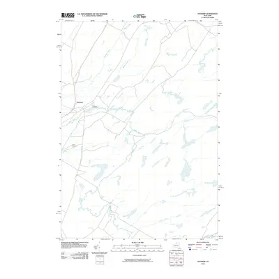 2010 Antwerp2010 Print · USGSAntwerp and the Jefferson County countryside are captured here in the early twenty-first century, centered on the Indian River. Genealogists and local historians can trace the village streets to Hillside Cemetery or follow rural waterways like Matoon Creek and Dority Pond.
 - 2010 Map of Harrisville, 2010 Print
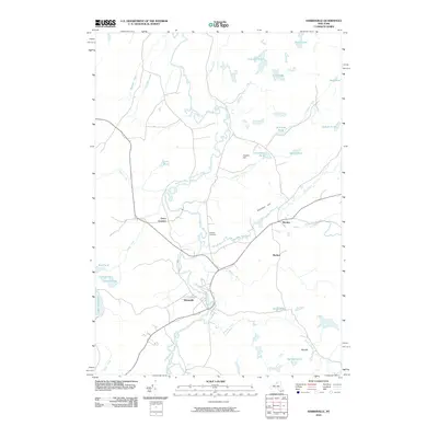 2010 Harrisville2010 Print · USGSUpper Saint Lawrence County comes into focus in this recent survey of the Oswegatchie River valley and its surrounding highlands. Genealogists and local historians can trace the roads connecting Harrisville to smaller locales like Pitcairn and Geers Corners, or locate the Garrison Cemetery near the riverbank.
 - 2010 Map of Edwards, 2010 Print
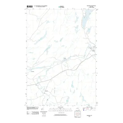 2010 Edwards2010 Print · USGSSaint Lawrence County at the opening of the 21st century reveals a landscape shaped by the Oswegatchie River and its industrial hamlets. Genealogists and historians can trace family locations through Fullerville, Talcville, and three local burial grounds including Fairview Cemetery.
 - 2010 Map of Lake Bonaparte, 2010 Print
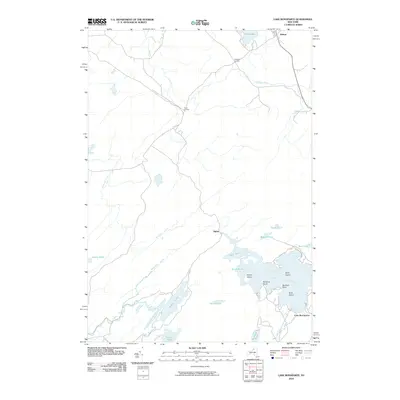 2010 Lake Bonaparte2010 Print · USGSSaint Lawrence County at the dawn of the 21st century reveals a landscape defined by its intricate waterways and rural crossroads. Local historians can trace the points and bays of Lake Bonaparte, find the settlement at Balmat, or explore the routes through Rices Corners.
 - 2011 Map of Gouverneur, 2011 Print
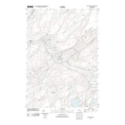 2011 Gouverneur2011 Print · USGSGouverneur and the winding Oswegatchie River valley are captured here in the early twenty-first century. Researchers can trace family history through several local burial grounds like Riverside Cemetery or explore small hamlets such as Hailesboro and Natural Dam.
 - 2013 Map of Natural Dam, 2013 Print
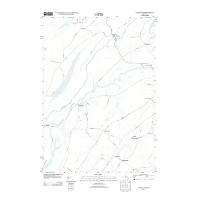 2013 Natural Dam2013 Print · USGSUpper St. Lawrence County is captured here in the early twenty-first century, centered on the winding Oswegatchie River and its rural hamlets. Trace the connections between Somerville, Wegatchie, and Natural Dam or locate agricultural sites like Wilhome Dairy Farms.
 - 2013 Map of Gouverneur, 2013 Print
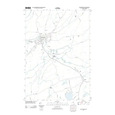 2013 Gouverneur2013 Print · USGSSaint Lawrence County at the start of the 2010s shows a landscape defined by the winding Oswegatchie River and several rural hamlets. Researchers can trace family plots at Riverside Cem or explore the outskirts of Gouverneur near the Gouverneur Fair Grounds.
 - 2013 Map of Antwerp, 2013 Print
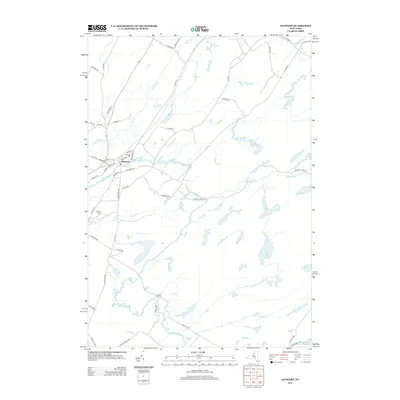 2013 Antwerp2013 Print · USGSJefferson County in the early twenty-first century is defined by the intersection of small-town life and military landscape. Trace family roots in Antwerp near Hillside Cem or follow the paths of the Indian River and Matoon Cr through the borders of Fort Drum.
 - 2013 Map of Edwards, 2013 Print
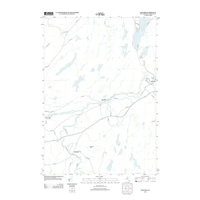 2013 Edwards2013 Print · USGSSaint Lawrence County’s river-carved landscape is documented here in the early twenty-first century, centered on the historic town of Edwards. Genealogists and local historians can trace family locations near Riverside Cem, the settlement at Fullerville, and the banks of the Oswegatchie River.
 - 2013 Map of Lake Bonaparte, 2013 Print
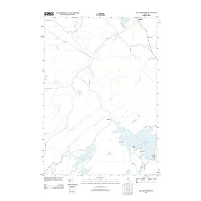 2013 Lake Bonaparte2013 Print · USGSUpper New York State's lake country is detailed here during the early twenty-first century, showing the intersection of rural life and natural waterways. Genealogists can trace family footprints near Balmat or locate specific points of interest like Bentons Point and Kellogg Corners.
 - 2013 Map of Harrisville, 2013 Print
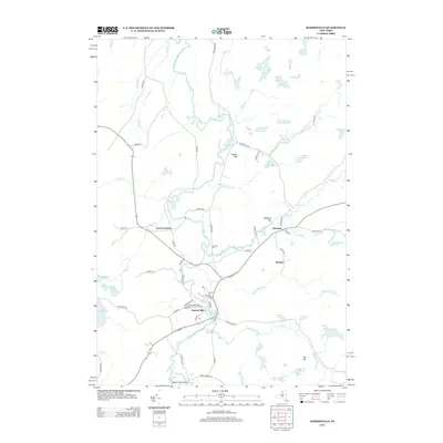 2013 Harrisville2013 Print · USGSIn the early 2010s, this area of northern New York shows the enduring river-and-rail layout of Harrisville and Pitcairn. Researchers can trace old family names and landmarks like Garrison Cem, Geers Corners, and the winding W Br Oswegatchie River.
 - 2016 Map of Natural Dam, 2016 Print
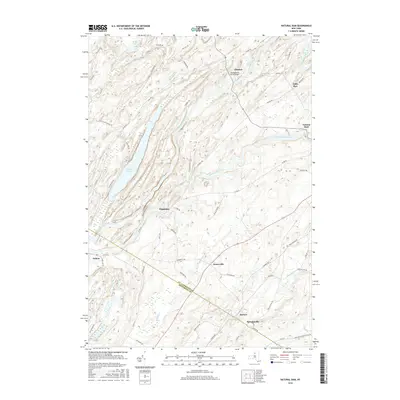 2016 Natural Dam2016 Print · USGSUpper St. Lawrence County appears in the mid-2010s as a landscape of winding rivers and historic hamlets. Genealogists and historians can trace the rural network connecting Wegatchie, Spragueville, and Oxbow along the banks of the Oswegatchie River.
 - 2016 Map of Lake Bonaparte, 2016 Print
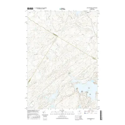 2016 Lake Bonaparte2016 Print · USGSThe rural borders of Saint Lawrence, Jefferson, and Lewis Counties come together in the early twenty-first century. Genealogists and historians can trace family-named roads like Byrns Rd and explore the complex shoreline of Lake Bonaparte, including Bullrock Point and Birch Island.
 - 2016 Map of Antwerp, 2016 Print
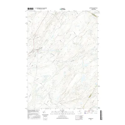 2016 Antwerp2016 Print · USGSThe village of Antwerp and the northern reaches of Fort Drum are captured here in the mid-2010s. Researchers can trace local landmarks like Hillside Cem and follow the paths of the Indian River and Rockwell Cr through this military and rural landscape.
 - 2016 Map of Edwards, 2016 Print
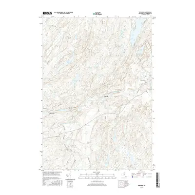 2016 Edwards2016 Print · USGSThe Adirondack foothills of Saint Lawrence County come into focus in this contemporary survey of the Edwards area. Genealogists and local historians can trace family plots at Riverside Cem or follow the banks of the Oswegatchie River to Emeryville and Fullerville.
 - 2016 Map of Gouverneur, 2016 Print
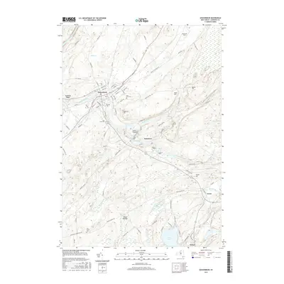 2016 Gouverneur2016 Print · USGSGouverneur and the Oswegatchie River valley are captured here in the mid-2010s, showing the enduring layout of this industrial river corridor. Researchers can locate family sites at Riverside Cem, explore the rural environs of West Fowler, or trace the winding course of Matoon Creek.
 - 2016 Map of Harrisville, 2016 Print
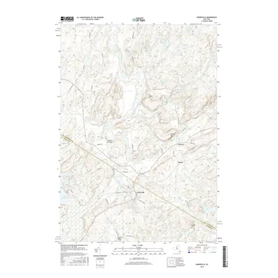 2016 Harrisville2016 Print · USGSThe riverfront settlement of Harrisville and the surrounding New York highlands are shown here in the mid-2010s. Researchers can locate the Garrison Cem, trace the St. Lawrence Co Lewis Co line, and map landmarks like Geers Corners and Pitcairn.
 - 2019 Map of Lake Bonaparte, 2019 Print
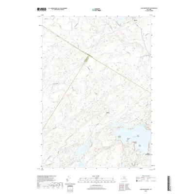 2019 Lake Bonaparte2019 Print · USGSUpper New York State’s water-rich landscape is captured here in the late twenty-teens as the borders of three counties meet. Researchers can trace historic routes like Russell Tpke or locate specific points on Lake Bonaparte such as Hitchcock Bay and Bentons Point.
 - 2019 Map of Antwerp, 2019 Print
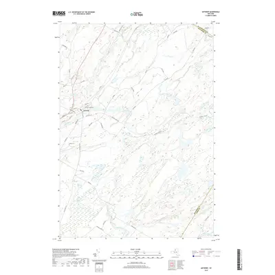 2019 Antwerp2019 Print · USGSAntwerp sits at a historical crossroads in Jefferson County during the late 2010s, bordering the extensive military lands of Northern New York. Researchers can trace local landmarks like Hillside Cem or follow the path of the Indian River as it meanders past Fort Drum.
 - 2019 Map of Gouverneur, 2019 Print
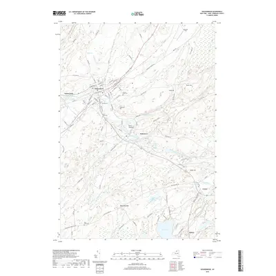 2019 Gouverneur2019 Print · USGSSaint Lawrence County appears in the late 2010s as a landscape of river-oriented villages and rolling hills. Genealogists and local historians can trace family locations near Riverside Cem, Hailes Hopyard, and the shores of Sylvia Lake.
 - 2019 Map of Harrisville, 2019 Print
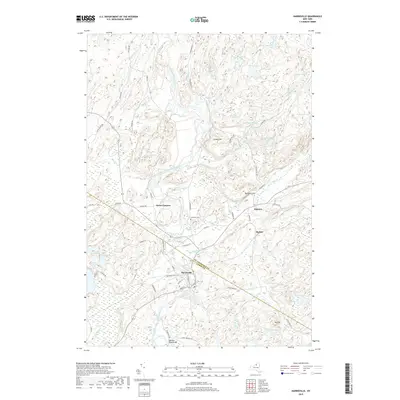 2019 Harrisville2019 Print · USGSUpper St. Lawrence County and Lewis County meet here in the late 2010s along the winding West Branch Oswegatchie River. Genealogists and local historians can locate the Garrison Cem and trace early road networks through Harrisville, Geers Corners, and Pitcairn.
 - 2019 Map of Edwards, 2019 Print
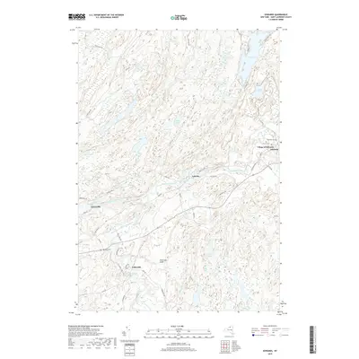 2019 Edwards2019 Print · USGSSaint Lawrence County at the close of the 2010s shows a landscape defined by the winding Oswegatchie River and its many cataracts. Genealogists and local historians can locate early burial sites like Riverside Cem or trace the hamlets of Emeryville, Talceville, and Fullerville.
 - 2019 Map of Natural Dam, 2019 Print
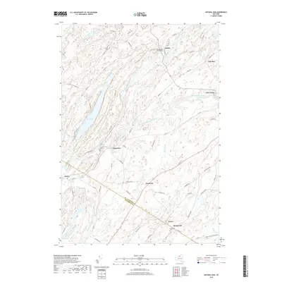 2019 Natural Dam2019 Print · USGSNorthern New York at the close of the 2010s reveals a landscape shaped by the Oswegatchie River and its historic hamlets. Researchers can trace rural settlement patterns and local lineage near Spragueville Cem, Wegatchie, and Little Bow.
End of results
Showing maps 1-24 of 24
Top cities near Fowler
- Canton historical maps
- Gouverneur historical maps
- Wilna historical maps
- Champion historical maps
- Gouverneur historical maps
- Croghan historical maps
See more
Top neighborhoods of Fowler
- Emeryville historical maps
- Fullerville historical maps
- Balmat historical maps
- West Fowler historical maps
- Hailesboro historical maps
Frequently asked questions
- What are the different types of historical maps available for Fowler?
- What is the oldest map of Fowler?
- Where can I purchase historical maps of Fowler for my home or office?
- Where can I download high-res historical maps of Fowler?
- Are there historical topographic maps available for Fowler?
- Is there historical aerial imagery available for Fowler?
- Where are historical maps of Fowler sourced from?