2000s (21st Century) Maps of Edinburg, New York
Explore 30 historic maps of Edinburg from the 2000s (21st Century). These maps offer a rare glimpse into what life looked like during the 2000s — showing old roads, neighborhoods, homes, and landmarks that have changed or disappeared over time.
Whether you're researching your family's past, planning a metal detecting trip, or studying how Edinburg's landscape evolved across the 2000s, these high-resolution maps are a powerful tool for exploring the history of this region.
- Focus on a specific era: All maps on this page are from the 2000s, giving you a focused view of this time period.
- See what’s changed: Compare century-old streets, trails, and buildings to today's modern landscape using overlays and satellite layers.
- Research with precision: Use these maps for genealogy, historical research, land use analysis, or educational projects.
- View, download, or print: Maps are fully viewable online in high resolution, and can be downloaded or printed for your own records.
Start exploring Edinburg's history through authentic maps from the 2000s. This is your window into the past.
Edinburg, NY maps
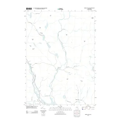
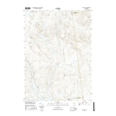
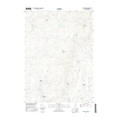
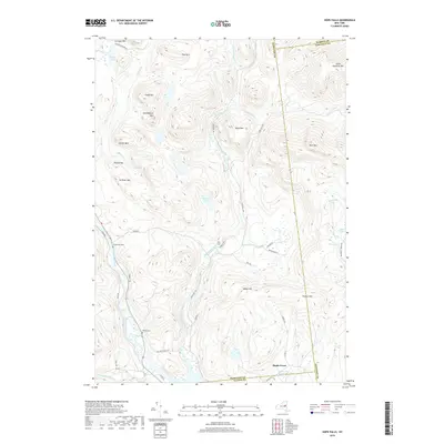
(30)- 2010 Map of Hope Falls, 2010 Print
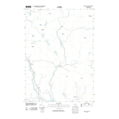 2010 Hope Falls2010 Print · USGSCovers Edinburg, including Northampton, Day, and other nearby areas
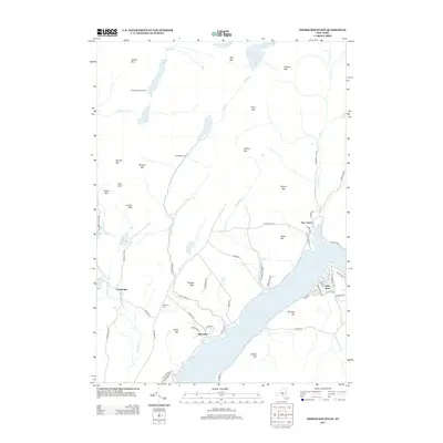
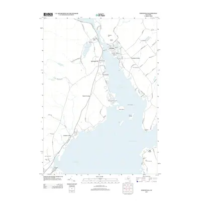
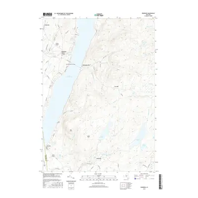
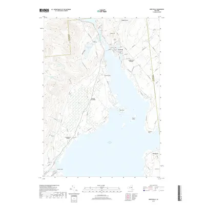
 - 2010 Map of Northville, 2010 Print
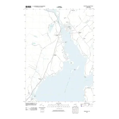 2010 Northville2010 Print · USGSCovers Edinburg, including Mayfield, Broadalbin, and other nearby areas
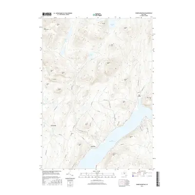
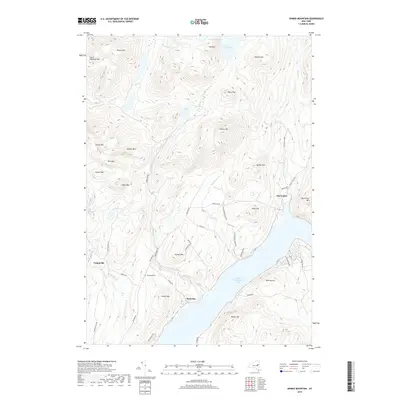
 - 2010 Map of Ohmer Mountain, 2010 Print
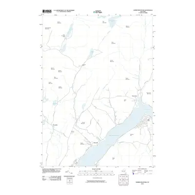 2010 Ohmer Mountain2010 Print · USGSCovers Edinburg, including Day, Tennantville, and other nearby areas
 - 2010 Map of Porter Corners, 2010 Print
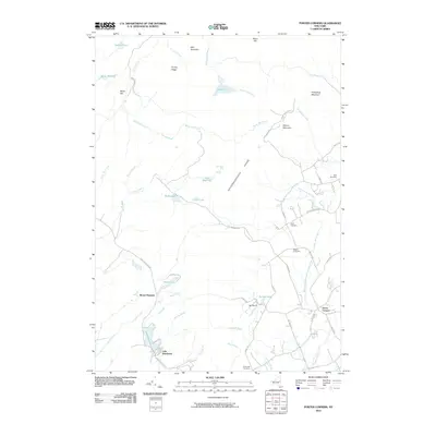 2010 Porter Corners2010 Print · USGSCovers Edinburg, including Greenfield, Corinth, and other nearby areas
 - 2010 Map of Conklingville, 2010 Print
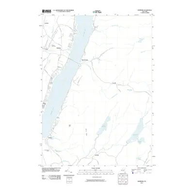
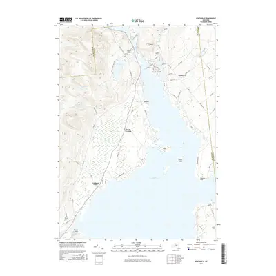
 2010 Conklingville2010 Print · USGSCovers Edinburg, including Corinth, Lake Luzerne, and other nearby areas
 - 2010 Map of Edinburg, 2010 Print
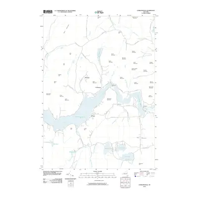
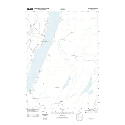
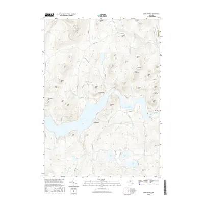
 2010 Edinburg2010 Print · USGSCovers Edinburg, including Broadalbin, Northampton, and other nearby areas
 - 2013 Map of Hope Falls, 2013 Print
 2013 Hope Falls2013 Print · USGSCovers Edinburg, including Northampton, Day, and other nearby areas
 - 2013 Map of Ohmer Mountain, 2013 Print
 2013 Ohmer Mountain2013 Print · USGSCovers Edinburg, including Day, Tennantville, and other nearby areas
 - 2013 Map of Edinburg, 2013 Print
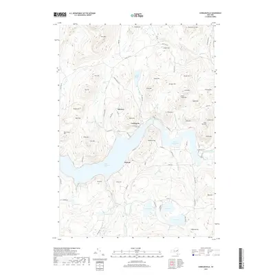
 2013 Edinburg2013 Print · USGSCovers Edinburg, including Broadalbin, Northampton, and other nearby areas
 - 2013 Map of Northville, 2013 Print
 2013 Northville2013 Print · USGSCovers Edinburg, including Mayfield, Broadalbin, and other nearby areas
 - 2013 Map of Conklingville, 2013 Print
 2013 Conklingville2013 Print · USGSCovers Edinburg, including Corinth, Lake Luzerne, and other nearby areas
 - 2013 Map of Porter Corners, 2013 Print
 2013 Porter Corners2013 Print · USGSCovers Edinburg, including Greenfield, Corinth, and other nearby areas
 - 2016 Map of Hope Falls, 2016 Print
 2016 Hope Falls2016 Print · USGSCovers Edinburg, including Northampton, Day, and other nearby areas
 - 2016 Map of Edinburg, 2016 Print
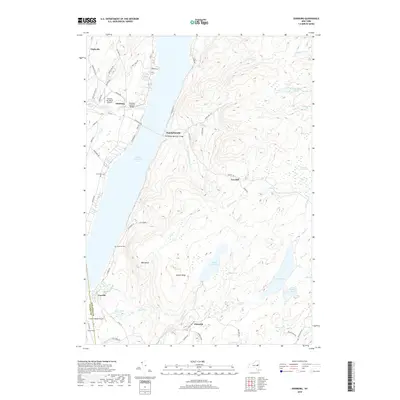
 2016 Edinburg2016 Print · USGSCovers Edinburg, including Broadalbin, Northampton, and other nearby areas
 - 2016 Map of Northville, 2016 Print
 2016 Northville2016 Print · USGSCovers Edinburg, including Mayfield, Broadalbin, and other nearby areas
 - 2016 Map of Ohmer Mountain, 2016 Print
 2016 Ohmer Mountain2016 Print · USGSCovers Edinburg, including Day, Tennantville, and other nearby areas
 - 2016 Map of Conklingville, 2016 Print
 2016 Conklingville2016 Print · USGSCovers Edinburg, including Corinth, Lake Luzerne, and other nearby areas
 - 2016 Map of Porter Corners, 2016 Print
 2016 Porter Corners2016 Print · USGSCovers Edinburg, including Greenfield, Corinth, and other nearby areas
 - 2019 Map of Conklingville, 2019 Print
 2019 Conklingville2019 Print · USGSCovers Edinburg, including Corinth, Lake Luzerne, and other nearby areas
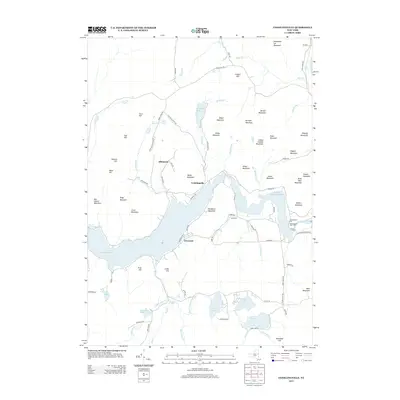
 - 2019 Map of Edinburg, 2019 Print
 2019 Edinburg2019 Print · USGSCovers Edinburg, including Broadalbin, Northampton, and other nearby areas
 - 2019 Map of Ohmer Mountain, 2019 Print
 2019 Ohmer Mountain2019 Print · USGSCovers Edinburg, including Day, Tennantville, and other nearby areas
 - 2019 Map of Hope Falls, 2019 Print
 2019 Hope Falls2019 Print · USGSCovers Edinburg, including Northampton, Day, and other nearby areas
 - 2019 Map of Northville, 2019 Print
 2019 Northville2019 Print · USGSCovers Edinburg, including Mayfield, Broadalbin, and other nearby areas
 - 2019 Map of Porter Corners, 2019 Print
 2019 Porter Corners2019 Print · USGSCovers Edinburg, including Greenfield, Corinth, and other nearby areas
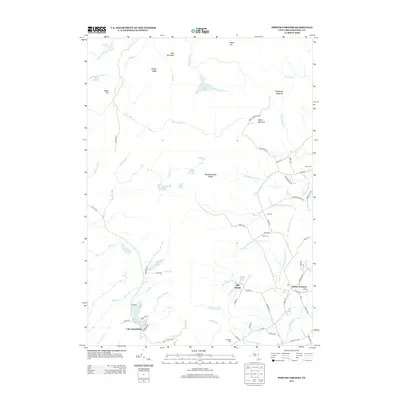
 - 2023 Map of Porter Corners, 2023 Print
 2023 Porter Corners2023 Print · USGSSaratoga County's southern Adirondack foothills appear in sharp relief during the early 2020s, showing a landscape defined by ridges and complex wetlands. Genealogists and hikers can trace family burial grounds like Day Cem and Hutchings Cem or navigate the summits of Spruce Mountain and the Kayaderosseras Range.
Showing maps 1-25 of 30
Top cities near Edinburg
- Saratoga Springs historical maps
- Milton historical maps
- Greenfield historical maps
- Corinth historical maps
- Mayfield historical maps
- Broadalbin historical maps
See more
Top neighborhoods of Edinburg
- Clarkville historical maps
- West Day historical maps
- Fox Hill historical maps
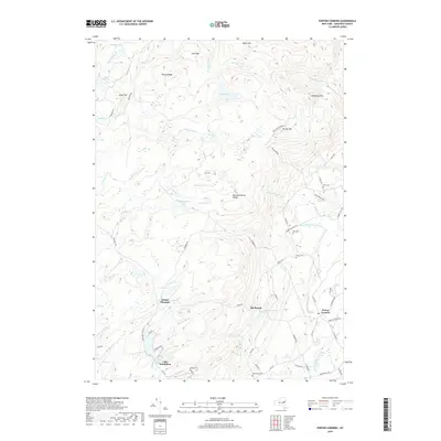
- Batchellerville historical maps
- Tennantville historical maps
Frequently asked questions
- What are the different types of historical maps available for Edinburg?
- What is the oldest map of Edinburg?
- Where can I purchase historical maps of Edinburg for my home or office?
- Where can I download high-res historical maps of Edinburg?
- Are there historical topographic maps available for Edinburg?
- Is there historical aerial imagery available for Edinburg?
- Where are historical maps of Edinburg sourced from?