Old Maps of Greenfield, New York for Academic Research
Study the evolution of Greenfield with 37 high-resolution historic maps. Whether you're teaching, researching, or modeling changes in land use, these maps provide essential visual documentation of urban, environmental, and geographic change.
- Analyze long-term change: Track patterns in development, transportation, and natural features.
- Ideal for environmental or urban studies: Support academic projects with primary historical map data.
- Use in the classroom or lab: Educators and researchers rely on these maps to bring historical context to life.
These maps are a powerful tool for teaching, research, and visualizing how Greenfield has changed over the decades.
Greenfield, NY maps
(37)- 1902 Map of Saratoga
 1902 Saratoga1902 Print · USGSSaratoga County at the turn of the century reveals a landscape defined by famous spa towns and a dense web of steam and electric railways. Trace early property locations and transport routes in Saratoga Springs, Ballston Spa, and Rock City Falls.9 unique versions available
 - 1934 Map of Saratoga Springs
 1934 Saratoga Springs1934 Print · USGSSaratoga Springs and Ballston Spa are shown in the mid-1930s, featuring a landscape of mineral springs, developing parklands, and rail-connected industries. Researchers can locate family landmarks like St Peters Cem or trace rural education through School No. 10 and School No. 7.
 - 1935 Map of Middle Grove
 1935 Middle Grove1935 Print · USGSSaratoga County's rural townships are captured here in the mid-1930s, showing a landscape of scattered crossroads and small school districts. Genealogists can locate family landmarks like Clark Cem or trace old routes past Pine Hill Sch and Pages Corner.
 - 1935 Map of Corinth
 1935 Corinth1935 Print · USGSIn the mid-1930s, the upper Hudson River powered a landscape of industry and small farming communities in Saratoga County. Researchers can trace early rural life through detailed labels for Rural Cem, the Spier Falls Hydro Sta, and the Old Thief Hollow Ch.
 - 1942 Map of Saratoga
 1942 Saratoga1942 Print · USGSSaratoga and the foothills of the Adirondacks are captured in the late 1930s, documenting a landscape of grand estates and growing paper-mill towns. Genealogists can trace family names through rural landmarks like Daketown Sch, Malta Ridge Cem, and Rock City Falls.2 unique versions available
 - 1947 Map of Saratoga, 1955 Print
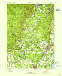 1947 Saratoga1955 Print · USGSSaratoga County was a hub of sport and industry in the late 1940s, from the famous racing grounds to the paper mill villages. Researchers can trace the mid-century footprints of SKIDMORE COLLEGE, the SARATOGA RACEWAY, and local landmarks like the COUNTY HOME.3 unique versions available
 - 1949 Map of Saratoga
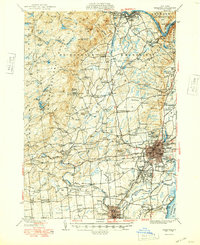 1949 Saratoga1949 Print · USGSSaratoga Springs and the surrounding Adirondack foothills are shown here in the mid-century, capturing a world of historic horse racing and rural industry. Researchers can trace family roots through numerous local landmarks like Ballou Cem, Middle Grove, and the Boyhaven Boy Scout Camp.
 - 1950 Map of Glens Falls
 1950 Glens Falls1950 Print · USGSThe Adirondacks and the Green Mountains meet in this mid-century survey of the New York and Vermont borderlands. Researchers can trace the industrial rail corridors of the Rutland RR and Delaware & Hudson RR connecting Glens Falls, Rutland, and the shores of Lake George.
 - 1956 Map of Glens Falls, 1968 Print
 1956 Glens Falls1968 Print · USGSUpper New York and the Vermont mountains are captured here in the mid-fifties, showing the rugged rail-and-river network of the Northeast. Researchers can trace the paths of the Delaware and Hudson RR and Rutland RR as they wind through valley towns like Poultney and Whitehall.3 unique versions available
 - 1959 Map of Glens Falls
 1959 Glens Falls1959 Print · USGSUpper New York and Vermont are captured here during the late 1950s, a period of transition for these mountain communities. Researchers can trace the legacy of the region's river-and-rail economy through landmarks like Lake George, Saratoga Springs, and Killington Peak.2 unique versions available
 - 1964 Map of Glens Falls
 1964 Glens Falls1964 Print · USGSThe tri-state borderlands of New York, Vermont, and New Hampshire appear here in the mid-1960s. Researchers can trace the rail routes of the Rutland RR and find historic sites like Ticonderoga and Saratoga National Historical Park.
 - 1967 Map of Saratoga Springs, 1969 Print
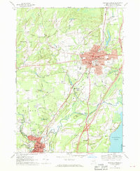 1967 Saratoga Springs1969 Print · USGSSaratoga Springs and Ballston Spa are captured in the mid-sixties, a period of established sporting tradition and growing residential suburbanization. Researchers can trace historic local institutions from Skidmore College and Yaddo to the neighborhood School No 2 and St Peters Cemetery.2 unique versions available
 - 1967 Map of Middle Grove, 1971 Print
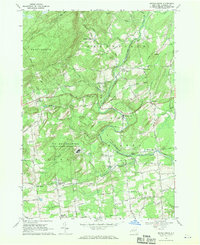 1967 Middle Grove1971 Print · USGSSaratoga County in the late sixties reveals a landscape of rural crossroads and high-tech defense installations. Genealogists and historians can trace family-named corners like Chatfield Corner or the specialized grounds of the Knolls Atomic Energy Plant.2 unique versions available
 - 1968 Map of Porter Corners, 1969 Print
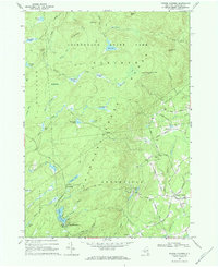 1968 Porter Corners1969 Print · USGSSaratoga County's wooded hills and wetlands are shown in detail during the late sixties, highlighting the rural transition into the mountains. Genealogists and hikers can locate family landmarks like Wells Cem and the prominent Lookout Tower on Spruce Mtn.2 unique versions available
 - 1968 Map of Corinth, 1970 Print
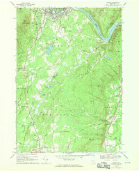 1968 Corinth1970 Print · USGSSaratoga County in the late sixties reveals a landscape shaped by the Hudson and the Adirondack foothills. Genealogists and hikers can trace old homesteads and landmarks like Maplewood Cem, Kings Station, and the shores of Lake Bonita.
 - 1986 Map of Glens Falls
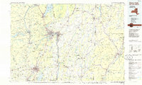 1986 Glens Falls1986 Print · USGSThe Upper Hudson Valley and Vermont borderlands come together in this mid-eighties survey of industrial river towns and mountain retreats. Genealogists and historians can trace the rail lines of the Delaware and Hudson Railway or locate landmarks like the Mount McGregor Correctional Facility and Saratoga Spa State Park.2 unique versions available
 - 1989 Map of Glens Falls
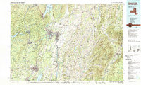 1989 Glens Falls1989 Print · USGSThe Upper Hudson Valley and the Vermont borderlands are captured here during the late eighties, showing a landscape of river-town industry and mountain recreation. Researchers can trace the Champlain Canal, the Delaware and Hudson RR, and historic sites like Saratoga National Historical Park.
 - 2010 Map of Saratoga Springs, 2010 Print
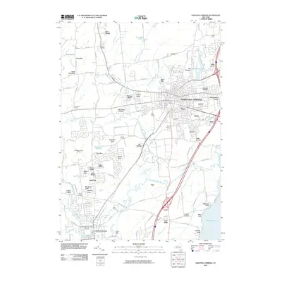 2010 Saratoga Springs2010 Print · USGSSaratoga Springs and Ballston Spa appear in the early twenty-first century as centers of world-class racing and deep-rooted local history. Researchers can trace family sites at Scott Cemetery, locate the campus of Skidmore College, or explore the storied grounds of Yaddo.
 - 2010 Map of Porter Corners, 2010 Print
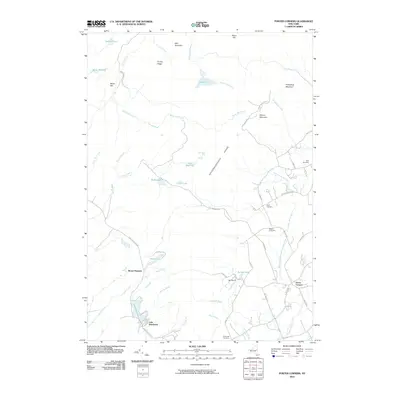 2010 Porter Corners2010 Print · USGSSaratoga County’s highland terrain is documented here in the early twenty-first century, showing the rural character of the Kayaderosseras Range. Family researchers can trace local roots at Ballou Cemetery and Day Cemetery near the historic Porter Corners settlement.
 - 2010 Map of Middle Grove, 2010 Print
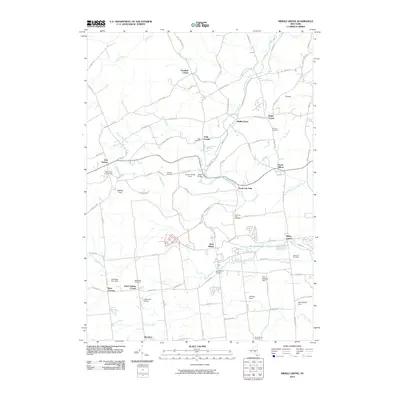 2010 Middle Grove2010 Print · USGSSaratoga County hamlets and crossroads are meticulously mapped at the start of the twenty-first century, showing the enduring rural layout of Milton and Galway. Researchers can trace family sites at Rock City Falls Cemetery or locate landmarks like Hatch Bridge and Middle Grove.
 - 2010 Map of Corinth, 2010 Print
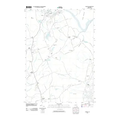 2010 Corinth2010 Print · USGSUpper Saratoga County at the start of the 2010s shows a landscape where industrial river towns meet the quiet ridges of the Palmertown Range. Researchers can trace dozens of local burial sites including Saint Mary's Cemetery and the Cornell-Brisbin Cemetery near Kings Station.
 - 2013 Map of Middle Grove, 2013 Print
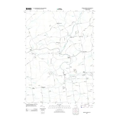 2013 Middle Grove2013 Print · USGSSaratoga County is shown here in the early twenty-first century, featuring a unique mix of high-security federal land and quiet rural hamlets. Researchers can trace the boundaries of the US Reservation Atomic Project or locate family sites near Howard Cem and Middle Grove.
 - 2013 Map of Porter Corners, 2013 Print
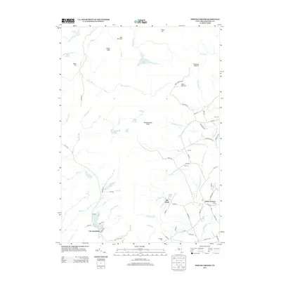 2013 Porter Corners2013 Print · USGSSaratoga County's western uplands are depicted in the early 21st century, showing the rural interface between Porter Corners and the rugged Kayaderosseras Range. Genealogists and hikers can locate family burial grounds like Hutchings Cem and trace the paths to Lake Desolation.
 - 2013 Map of Saratoga Springs, 2013 Print
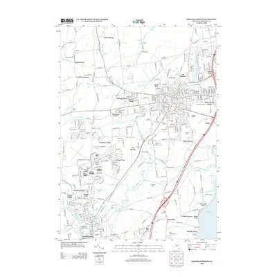 2013 Saratoga Springs2013 Print · USGSSaratoga Springs and the surrounding countryside are shown here in the early twenty-first century, a time of continued equestrian and cultural prominence. Researchers can trace the layout of the Saratoga Racetrack, the sprawling Skidmore College campus, and local landmarks like the Malta Drive-In Theatre.
 - 2013 Map of Corinth, 2013 Print
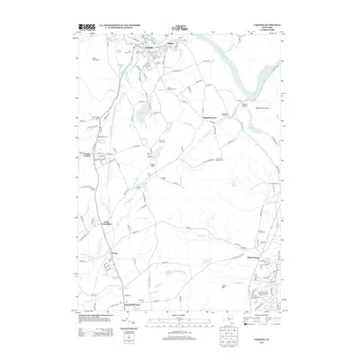 2013 Corinth2013 Print · USGSThe Hudson River valley and the southern reaches of the Adirondack foothills are captured here in the early twenty-first century. Genealogists can trace numerous family burial sites such as Angell Cem and Hodges Cem, or locate historic crossroads like Kings Station.
Showing maps 1-25 of 37
Top cities near Greenfield
- Clifton Park historical maps
- Glenville historical maps
- West Glenville historical maps
- Queensbury historical maps
- Saratoga Springs historical maps
- Halfmoon historical maps
See more
Top neighborhoods of Greenfield
- Frink Corner historical maps
- Middle Grove historical maps
- Mount Pleasant historical maps
- Pages Corner historical maps
- Porter Corners historical maps
- Chatfield Corner historical maps
See more
Frequently asked questions
- What are the different types of historical maps available for Greenfield?
- What is the oldest map of Greenfield?
- Where can I purchase historical maps of Greenfield for my home or office?
- Where can I download high-res historical maps of Greenfield?
- Are there historical topographic maps available for Greenfield?
- Is there historical aerial imagery available for Greenfield?
- Where are historical maps of Greenfield sourced from?