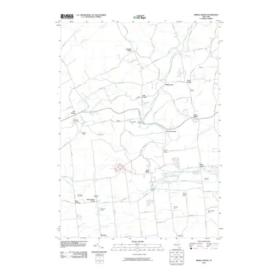
2010 Map of Middle Grove
USGS Topo · Published 2010About this map
Kayaderosseras Creek and its tributaries, such as Glowegee Creek and Gordon Creek, define the drainage and early industrial potential of this Saratoga County landscape. The map reveals a dense network of small hamlets and agricultural settlements, including Middle Grove, West Milton, and Rock City Falls, which grew around water power and local transport routes.
Find a feature on this map
96 named features on this map. Tap any name to fly to it.
Don’t see what you’re looking for? This feature index may not catch every label — zoom into the map to look around manually.
Map Details
Editions of this 2010 Middle Grove Map
This is the sole edition of this map. No revisions or reprints were ever made.
Other maps of this area

1893 · Schenectady
USGS Topo · 1:62,500

1895 · Schenectady
USGS Topo · 1:62,500

1895 · Amsterdam
USGS Topo · 1:62,500

1898 · Schenectady
USGS Topo · 1:62,500

1899 · Broadalbin
USGS Topo · 1:62,500

1902 · Broadalbin
USGS Topo · 1:62,500

1902 · Saratoga
USGS Topo · 1:62,500

1930 · Schenectady
USGS Topo · 1:62,500

1931 · Amsterdam
USGS Topo · 1:62,500

1934 · Saratoga Springs
USGS Topo · 1:24,000