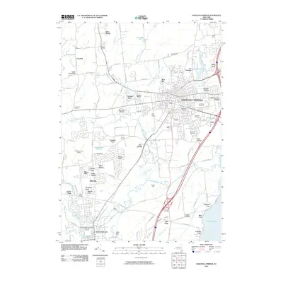
2010 Map of Saratoga Springs
USGS Topo · Published 2010About this map
Saratoga Springs and the nearby village of Ballston Spa anchor this 2010 landscape, characterized by a sophisticated mix of world-class sporting venues and evolving residential tracts. The map captures the equestrian heart of the region, featuring both the Saratoga Racetrack and the Oklahoma Racetrack, alongside the renowned artist retreat at Yaddo. To the north and west, the terrain shifts into a network of small settlements and brooks, including Sabre Springs and Greenfield.
Find a feature on this map
111 named features on this map. Tap any name to fly to it.
Don’t see what you’re looking for? This feature index may not catch every label — zoom into the map to look around manually.
Map Details
Editions of this 2010 Saratoga Springs Map
This is the sole edition of this map. No revisions or reprints were ever made.
Other maps of this area

1893 · Cohoes
USGS Topo · 1:62,500

1893 · Schenectady
USGS Topo · 1:62,500

1895 · Cohoes
USGS Topo · 1:62,500

1895 · Schenectady
USGS Topo · 1:62,500

1898 · Schenectady
USGS Topo · 1:62,500

1898 · Cohoes
USGS Topo · 1:62,500

1900 · Schuylerville
USGS Topo · 1:62,500

1902 · Saratoga
USGS Topo · 1:62,500

1929 · Cohoes
USGS Topo · 1:62,500

1930 · Schenectady
USGS Topo · 1:62,500