
1929 Map of Cohoes
USGS Topo · Published 1929About this map
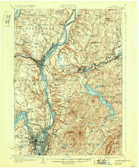
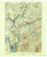
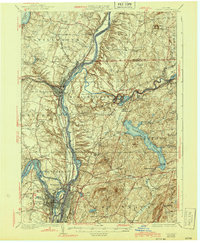
The Saratoga Battlefield and the prominent Bemis Heights anchor the northern landscape of this region, where the Hudson River meets a complex network of industrial and transport infrastructure. In the late 1920s, the area was a vital corridor defined by the Barge Canal and Champlain Canal, alongside major rail lines like the Delaware and Hudson and New York Central. The map documents the significant footprint of the Tomhannock Reservoir in Pittstown and the Mechanicville Reservoir, highlighting the area's role in regional water management.
Find a feature on this map
80 named features on this map. Tap any name to fly to it.
Don’t see what you’re looking for? This feature index may not catch every label — zoom into the map to look around manually.
Map Details
Editions of this 1929 Cohoes Map
4 editions found
Other maps of this area

1888 · Berlin
USGS Topo · 1:62,500

1890 · Berlin
USGS Topo · 1:62,500

1893 · Cohoes
USGS Topo · 1:62,500

1893 · Troy
USGS Topo · 1:62,500

1893 · Schenectady
USGS Topo · 1:62,500

1893 · Albany
USGS Topo · 1:62,500

1894 · Berlin
USGS Topo · 1:62,500

1895 · Troy
USGS Topo · 1:62,500

1895 · Cohoes
USGS Topo · 1:62,500

1895 · Albany
USGS Topo · 1:62,500