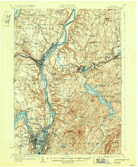
1929 Map of Cohoes
USGS Topo · Published 1932About this map
The Saratoga Battlefield and the confluence of major New York waterways dominate this landscape at the end of the 1920s. The Hudson River serves as a central artery, flanked by the engineering of the Champlain Canal and the Barge Canal. Industrial and transit hubs like Mechanicville and Cohoes show dense settlement patterns shaped by the Boston and Maine RR and the Hudson Valley Electric RR.
Find a feature on this map
85 named features on this map. Tap any name to fly to it.
Don’t see what you’re looking for? This feature index may not catch every label — zoom into the map to look around manually.
Map Details
Editions of this 1929 Cohoes Map
4 editions found

Other maps of this area

1888 · Berlin
USGS Topo · 1:62,500

1890 · Berlin
USGS Topo · 1:62,500

1893 · Cohoes
USGS Topo · 1:62,500

1893 · Troy
USGS Topo · 1:62,500

1893 · Schenectady
USGS Topo · 1:62,500

1893 · Albany
USGS Topo · 1:62,500

1894 · Berlin
USGS Topo · 1:62,500

1895 · Troy
USGS Topo · 1:62,500

1895 · Cohoes
USGS Topo · 1:62,500

1895 · Albany
USGS Topo · 1:62,500