Old Maps of Hadley, New York for Academic Research
Study the evolution of Hadley with 32 high-resolution historic maps. Whether you're teaching, researching, or modeling changes in land use, these maps provide essential visual documentation of urban, environmental, and geographic change.
- Analyze long-term change: Track patterns in development, transportation, and natural features.
- Ideal for environmental or urban studies: Support academic projects with primary historical map data.
- Use in the classroom or lab: Educators and researchers rely on these maps to bring historical context to life.
These maps are a powerful tool for teaching, research, and visualizing how Hadley has changed over the decades.
Hadley, NY maps
(32)- 1903 Map of Luzerne
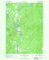
 1903 Luzerne1903 Print · USGSSouthern Warren County is documented here at the turn of the century as the rail and timber economy flourished. Local historians can trace the early layouts of Luzerne and Hadley or locate vanished sites near Conklingville and Linwood.8 unique versions available
 - 1950 Map of Glens Falls
 1950 Glens Falls1950 Print · USGSThe Adirondacks and the Green Mountains meet in this mid-century survey of the New York and Vermont borderlands. Researchers can trace the industrial rail corridors of the Rutland RR and Delaware & Hudson RR connecting Glens Falls, Rutland, and the shores of Lake George.
 - 1955 Map of Lake Luzerne, 1957 Print
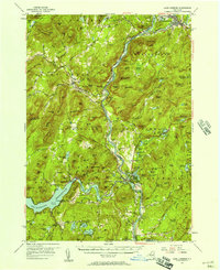 1955 Lake Luzerne1957 Print · USGSThe southern Adirondacks in the mid-1950s show a landscape shaped by the Hudson River and the expanding Sacandaga Reservoir. Genealogists and historians can trace rail stops like Stony Creek Sta, local burials at Harris Cem, and the early layout of Lake Luzerne.4 unique versions available
 - 1956 Map of Glens Falls, 1968 Print
 1956 Glens Falls1968 Print · USGSUpper New York and the Vermont mountains are captured here in the mid-fifties, showing the rugged rail-and-river network of the Northeast. Researchers can trace the paths of the Delaware and Hudson RR and Rutland RR as they wind through valley towns like Poultney and Whitehall.3 unique versions available
 - 1959 Map of Glens Falls
 1959 Glens Falls1959 Print · USGSUpper New York and Vermont are captured here during the late 1950s, a period of transition for these mountain communities. Researchers can trace the legacy of the region's river-and-rail economy through landmarks like Lake George, Saratoga Springs, and Killington Peak.2 unique versions available
 - 1964 Map of Glens Falls
 1964 Glens Falls1964 Print · USGSThe tri-state borderlands of New York, Vermont, and New Hampshire appear here in the mid-1960s. Researchers can trace the rail routes of the Rutland RR and find historic sites like Ticonderoga and Saratoga National Historical Park.
 - 1966 Map of Warrensburg, 1969 Print
 1966 Warrensburg1969 Print · USGSWarrensburg and the Hudson River valley are shown here in the mid-sixties, capturing the area just as the Northway was reshaping local transit. Genealogists and hikers can trace old routes like Old Stage Road or locate landmarks such as the Fish Hatchery and Christ Community Ch.2 unique versions available
 - 1966 Map of Conklingville, 1970 Print
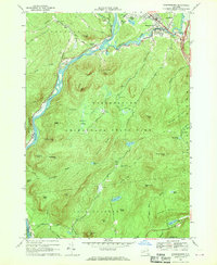
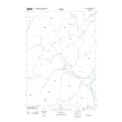
 1966 Conklingville1970 Print · USGSSaratoga County was a landscape defined by water and timber in the mid-sixties, dominated by the massive Sacandaga Reservoir. Genealogists and historians can trace old mountain roads and family landmarks like Sandpit Cem, Hunt Lake, and the hamlet of Conklingville.2 unique versions available
 - 1968 Map of Stony Creek, 1969 Print
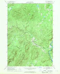 1968 Stony Creek1969 Print · USGSThe southern Adirondack wilderness and the Hudson River corridor meet in the late sixties, showcasing the rugged intersection of mountain life and rail transport. Genealogists and hikers can trace the Delaware and Hudson Railroad or locate local landmarks like Harris Cem and the Lookout Tower on Wells Peak.
 - 1968 Map of Lake Luzerne, 1970 Print
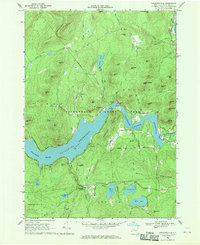
 1968 Lake Luzerne1970 Print · USGSThe upper Hudson River valley in the late sixties is shown here as the Delaware and Hudson railroad winds through the Adirondack foothills. Genealogists and hikers can locate the Old Methodist Cem, trace the roads near Danielstown, or explore the terrain around Lake Luzerne.3 unique versions available
 - 1986 Map of Glens Falls
 1986 Glens Falls1986 Print · USGSThe Upper Hudson Valley and Vermont borderlands come together in this mid-eighties survey of industrial river towns and mountain retreats. Genealogists and historians can trace the rail lines of the Delaware and Hudson Railway or locate landmarks like the Mount McGregor Correctional Facility and Saratoga Spa State Park.2 unique versions available
 - 1989 Map of Glens Falls
 1989 Glens Falls1989 Print · USGSThe Upper Hudson Valley and the Vermont borderlands are captured here during the late eighties, showing a landscape of river-town industry and mountain recreation. Researchers can trace the Champlain Canal, the Delaware and Hudson RR, and historic sites like Saratoga National Historical Park.
 - 2010 Map of Stony Creek, 2010 Print
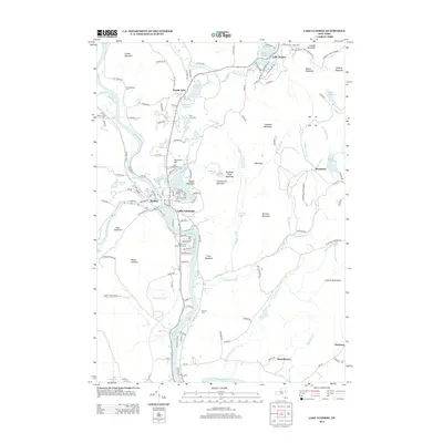
 2010 Stony Creek2010 Print · USGSCovers Hadley, including Warrensburg, Lake Luzerne, and other nearby areas
 - 2010 Map of Lake Luzerne, 2010 Print
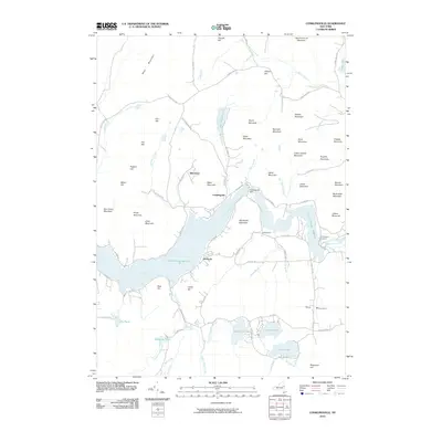
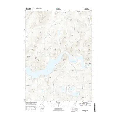
 2010 Lake Luzerne2010 Print · USGSCovers Hadley, including Queensbury, Corinth, and other nearby areas
 - 2010 Map of Warrensburg, 2010 Print
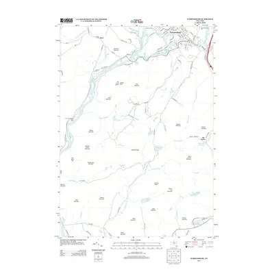
 2010 Warrensburg2010 Print · USGSCovers Hadley, including Warrensburg, Lake George, and other nearby areas
 - 2010 Map of Conklingville, 2010 Print
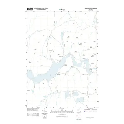
 2010 Conklingville2010 Print · USGSCovers Hadley, including Corinth, Lake Luzerne, and other nearby areas
 - 2013 Map of Lake Luzerne, 2013 Print
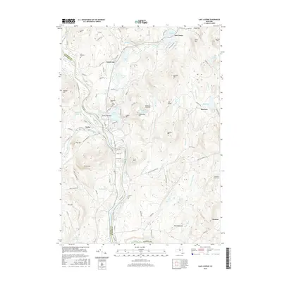
 2013 Lake Luzerne2013 Print · USGSCovers Hadley, including Queensbury, Corinth, and other nearby areas
 - 2013 Map of Warrensburg, 2013 Print
 2013 Warrensburg2013 Print · USGSCovers Hadley, including Warrensburg, Lake George, and other nearby areas
 - 2013 Map of Conklingville, 2013 Print
 2013 Conklingville2013 Print · USGSCovers Hadley, including Corinth, Lake Luzerne, and other nearby areas
 - 2013 Map of Stony Creek, 2013 Print
 2013 Stony Creek2013 Print · USGSCovers Hadley, including Warrensburg, Lake Luzerne, and other nearby areas
 - 2016 Map of Conklingville, 2016 Print
 2016 Conklingville2016 Print · USGSCovers Hadley, including Corinth, Lake Luzerne, and other nearby areas
 - 2016 Map of Stony Creek, 2016 Print
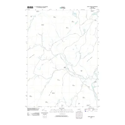
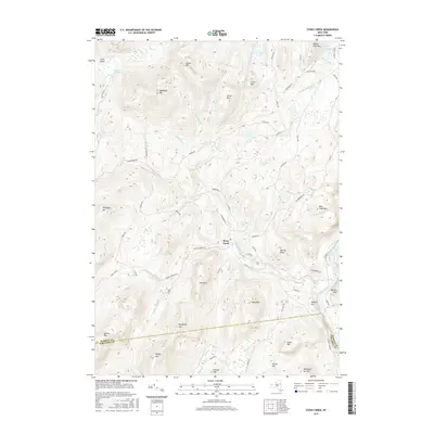 2016 Stony Creek2016 Print · USGSCovers Hadley, including Warrensburg, Lake Luzerne, and other nearby areas
 - 2016 Map of Lake Luzerne, 2016 Print
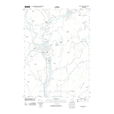
 2016 Lake Luzerne2016 Print · USGSCovers Hadley, including Queensbury, Corinth, and other nearby areas
 - 2016 Map of Warrensburg, 2016 Print
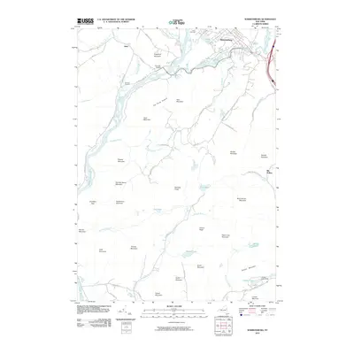
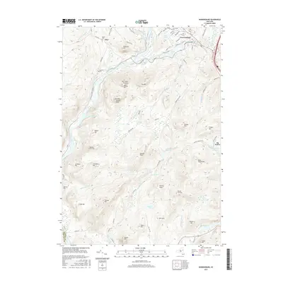 2016 Warrensburg2016 Print · USGSCovers Hadley, including Warrensburg, Lake George, and other nearby areas
 - 2019 Map of Warrensburg, 2019 Print
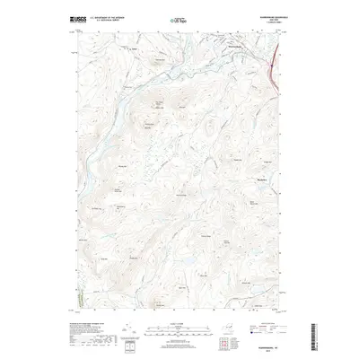 2019 Warrensburg2019 Print · USGSCovers Hadley, including Warrensburg, Lake George, and other nearby areas
Showing maps 1-25 of 32
Top cities near Hadley
- Queensbury historical maps
- Wilton historical maps
- Moreau historical maps
- Greenfield historical maps
- Corinth historical maps
- Saratoga historical maps
See more
Top neighborhoods of Hadley
Frequently asked questions
- What are the different types of historical maps available for Hadley?
- What is the oldest map of Hadley?
- Where can I purchase historical maps of Hadley for my home or office?
- Where can I download high-res historical maps of Hadley?
- Are there historical topographic maps available for Hadley?
- Is there historical aerial imagery available for Hadley?
- Where are historical maps of Hadley sourced from?