Old Maps of Gardiners Island, East Hampton
Explore 23 old maps of Gardiners Island, spanning from 1903 to today. These high-resolution historic maps reveal how streets, neighborhoods, landmarks, and natural features evolved over time — perfect for genealogy, metal detecting, research, and local history exploration.
What you can do with these maps:
- See how Gardiners Island changed over time: Compare historical maps to modern-day views to trace roads, homesites, rail lines & more.
- View detailed metadata: Each map includes creators, publishers, year, scale, and archive source.
- Overlay maps with satellite & LiDAR: Visualize the past alongside modern tools to explore terrain & human change.
- Trusted historical sources: Maps sourced from the USGS, Library of Congress, and other archives.
- Access maps your way: View online, download high-res files, or order prints for personal or research use.
Start exploring old maps of Gardiners Island to uncover forgotten places, hidden landmarks, and the deep history beneath your feet.
Gardiners Island, East Hampton maps
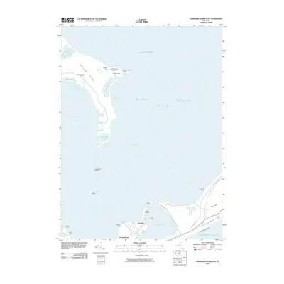
(23)- 1903 Map of Gardiners Island, 1962 Print
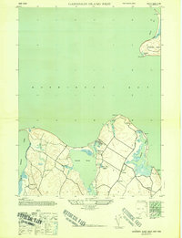
 1903 Gardiners Island1962 Print · USGSThe eastern reaches of Long Island and its surrounding sounds appear here at the opening of the twentieth century. Researchers can trace historic shorelines and maritime infrastructure, including Fort Terry on Plum Island and old settlements like Kingstown and Fireplace.
 - 1904 Map of Gardiners Island
 1904 Gardiners Island1904 Print · USGSEasthampton and its outlying islands are captured here in the early twentieth century, showing a maritime landscape defined by coastal forts and small harbor landings. Genealogists and local historians can trace family-named sites like Barnes Landing, Springs, and the military outpost at Fort Terry.6 unique versions available
 - 1921 Map of Gardiners Island
 1921 Gardiners Island1921 Print · USGSThe maritime landscape of eastern Long Island is detailed here in the years following the Great War. Researchers can trace historic shorelines and landings like Quincetree Landing, locate the military grounds of Fort Terry, or find family-named sites such as Barnes Landing and Hicks.
 - 1943 Map of Gardiners Island East, 1947 Print
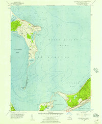
 1943 Gardiners Island East1947 Print · USGSGardiners Island and the East Hampton shoreline are captured here during the 1940s. Researchers can trace the Long Island Railroad corridor and explore old coastal landmarks like Quince Tree Landing, Cartwright Island, and Great Pond.
 - 1944 Map of Gardiners Island West, 1947 Print
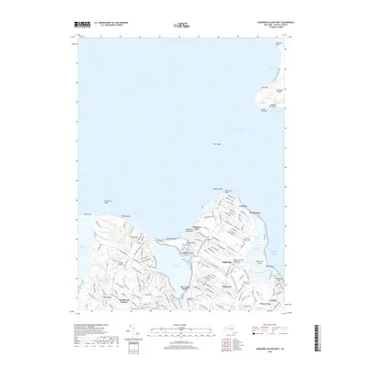
 1944 Gardiners Island West1947 Print · USGSThe East Hampton shoreline during the 1940s reveals a quiet landscape of coastal hamlets and protected inlets. Genealogists and researchers can trace local routes through Springs and Eastside, or locate family landmarks like Powder Hill and Fireplace.2 unique versions available
 - 1947 Map of Hartford, 1955 Print
 1947 Hartford1955 Print · USGSSouthern New England and the Hudson Valley are shown in detail during the post-war expansion era. Genealogists and researchers can trace local landmarks from the State Capitol and Yale University to the Stratford Lighthouse and Woodlawn Cem.2 unique versions available
 - 1948 Map of Hartford
 1948 Hartford1948 Print · USGSSouthern New England is captured here in the late 1940s, showcasing a landscape of thriving industrial cities and developing parkways. Genealogists and historians can trace the rail networks of the New York New Haven and Hartford RR or locate coastal defense sites like Fort Terry and Camp Shanks.2 unique versions available
 - 1956 Map of Gardiners Island East, 1957 Print
 1956 Gardiners Island East1957 Print · USGSCoastal Suffolk County in the mid-fifties reveals a landscape of isolated islands and growing rail corridors. Genealogists and historians can trace the foundations of Hither Hills State Park and locate small settlements like Promised Land and Napeague.2 unique versions available
 - 1956 Map of Gardiners Island West, 1957 Print
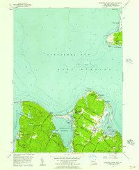 1956 Gardiners Island West1957 Print · USGSCoastal Suffolk County is captured here in the mid-fifties, showing the shoreline between the historic Gardiners Island and the mainland landings. Researchers can trace local heritage through landmarks like Our Lady of the Wayside Chapel, the Captain Kidd Monument, and the vanished era of Fireplace Lodge Girls Camp.3 unique versions available
 - 1961 Map of Hartford
 1961 Hartford1961 Print · USGSSouthern New England and the Hudson Valley are shown here in the mid-fifties, capturing a landscape of booming coastal cities and interior hill towns. Researchers can trace the legacy of the New York New Haven and Hartford rail corridor and find strategic sites like Camp Shanks and Fort Michie.
 - 1962 Map of Hartford, 1971 Print
 1962 Hartford1971 Print · USGSSouthern New England and the Hudson Valley are shown in the early sixties, as suburban growth reached into the foothills. Trace the path of the New York New Haven & Hartford RR and find landmarks like Camp Nathan Hale and Gillette Castle State Park.3 unique versions available
 - 1965 Map of Hartford
 1965 Hartford1965 Print · USGSSouthern New England and the Hudson Valley are shown here during the mid-sixties expansion of the Interstate era. Trace the path of the New York New Haven & Hartford RR or locate historic landmarks like West Point Military Reservation and the Merritt Parkway.2 unique versions available
 - 1983 Map of New Haven, 1985 Print
 1983 New Haven1985 Print · USGSThe Connecticut shoreline and eastern Long Island are documented here in the early eighties, from the streets of New Haven to the piers of New London. Genealogists and historians can trace the geography of maritime heritage and academia at Yale University and the U.S. Coast Guard Academy.2 unique versions available
 - 2010 Map of Gardiners Island West, 2010 Print
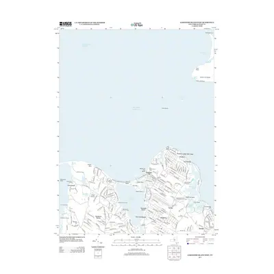
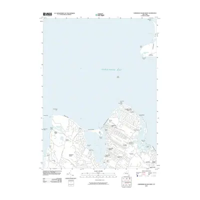 2010 Gardiners Island West2010 Print · USGSCovers Gardiners Island, including East Hampton, Southold, and other nearby areas
 - 2010 Map of Gardiners Island East, 2010 Print
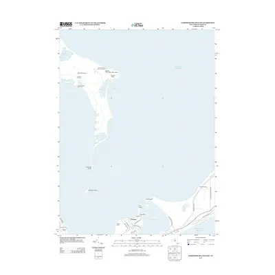
 2010 Gardiners Island East2010 Print · USGSCovers Gardiners Island, including East Hampton, Springs, and other nearby areas
 - 2013 Map of Gardiners Island West, 2013 Print
 2013 Gardiners Island West2013 Print · USGSCovers Gardiners Island, including East Hampton, Southold, and other nearby areas
 - 2013 Map of Gardiners Island East, 2013 Print
 2013 Gardiners Island East2013 Print · USGSCovers Gardiners Island, including East Hampton, Springs, and other nearby areas
 - 2016 Map of Gardiners Island West, 2016 Print
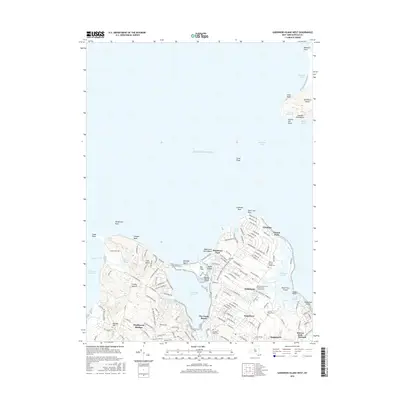 2016 Gardiners Island West2016 Print · USGSCovers Gardiners Island, including East Hampton, Southold, and other nearby areas
 - 2016 Map of Gardiners Island East, 2016 Print
 2016 Gardiners Island East2016 Print · USGSCovers Gardiners Island, including East Hampton, Springs, and other nearby areas
 - 2019 Map of Gardiners Island West, 2019 Print
 2019 Gardiners Island West2019 Print · USGSCovers Gardiners Island, including East Hampton, Southold, and other nearby areas
 - 2019 Map of Gardiners Island East, 2019 Print
 2019 Gardiners Island East2019 Print · USGSCovers Gardiners Island, including East Hampton, Springs, and other nearby areas
 - 2023 Map of Gardiners Island East, 2023 Print
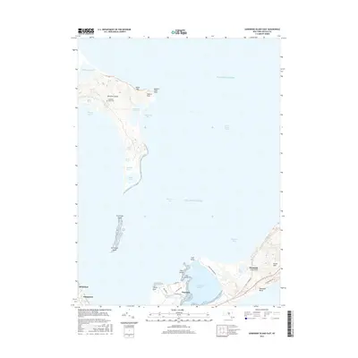
 2023 Gardiners Island East2023 Print · USGSEastern Long Island's coastal reaches are documented in this recent survey, focusing on the private Gardiners Island and the neighboring shoreline of Napeague. Trace family history at Gardiners Island Cem or explore the shifting terrain of Cartwright Island and Hither Hills.
 - 2023 Map of Gardiners Island West, 2023 Print
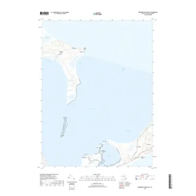
 2023 Gardiners Island West2023 Print · USGSCoastal Suffolk County near the turn of the 21st century shows a landscape of tidal harbors and historic family settlements. Genealogists and historians can trace John Parsons Family Cem, the Springs Community Presbyterian Church, and the shores of Gardiners Island.
End of results
Showing maps 1-23 of 23
Top cities near Gardiners Island
- Southampton historical maps
- Groton historical maps
- East Hampton historical maps
- New London historical maps
- Southold historical maps
- Waterford historical maps
See more
Frequently asked questions
- What are the different types of historical maps available for Gardiners Island?
- What is the oldest map of Gardiners Island?
- Where can I purchase historical maps of Gardiners Island for my home or office?
- Where can I download high-res historical maps of Gardiners Island?
- Are there historical topographic maps available for Gardiners Island?
- Is there historical aerial imagery available for Gardiners Island?
- Where are historical maps of Gardiners Island sourced from?