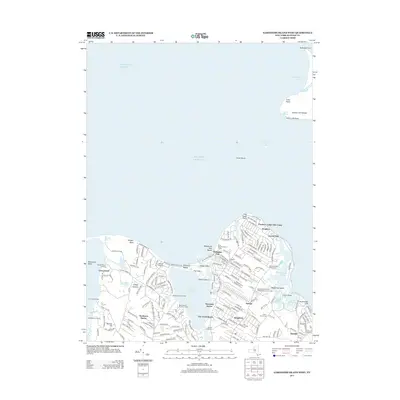
2013 Map of Gardiners Island West
USGS Topo · Published 2013About this map
Threemile Harbor and Acabonack Harbor dominate this coastal landscape, where the irregular shoreline of eastern Long Island creates a complex network of points, flats, and tidal inlets. The settlement of Springs serves as a central hub, surrounded by smaller communities like Kingstown, Eastside, and the historic waterfront at Fireplace. The presence of several distinct burial grounds, including the Springs Community Presbyterian Church Cem and family plots like the John B Parsons Family Cem, provides a clear view of the area's deep-rooted genealogical history.
Find a feature on this map
180 named features on this map. Tap any name to fly to it.
Don’t see what you’re looking for? This feature index may not catch every label — zoom into the map to look around manually.
Map Details
Editions of this 2013 Gardiners Island West Map
This is the sole edition of this map. No revisions or reprints were ever made.
Other maps of this area

1903 · Sag Harbor
USGS Topo · 1:62,500

1903 · Gardiners Island
USGS Topo · 1:62,500

1904 · Sag Harbor
USGS Topo · 1:62,500

1904 · Shelter Island
USGS Topo · 1:62,500

1904 · Easthampton
USGS Topo · 1:62,500

1904 · Gardiners Island
USGS Topo · 1:62,500

1921 · Gardiners Island
USGS Topo · 1:62,500

1921 · Easthampton
USGS Topo · 1:62,500

1943 · Gardiners Island East
USGS Topo · 1:24,000

1944 · Gardiners Island West
USGS Topo · 1:24,000
Featured Places
- East Hampton, NY
- Southold, NY
- Springs, East Hampton
- Northwest Harbor, East Hampton
- Amagansett, East Hampton