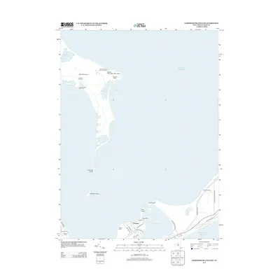
2013 Map of Gardiners Island East
USGS Topo · Published 2013About this map
Gardiners Island stands as the central feature of this coastal survey, where the private estate's unique geography is meticulously documented. The map reveals the island's interior landmarks, including the historic Gardiners Island Windmill and the Gardiner's Island Cem, alongside natural features like Whale Hill and Tobaccolot Pond. The eastern shoreline is defined by Eastern Plain Point and the shifting sands of Cartwright Shoals extending southward toward the main coast of Long Island.
Find a feature on this map
45 named features on this map. Tap any name to fly to it.
Don’t see what you’re looking for? This feature index may not catch every label — zoom into the map to look around manually.
Map Details
Editions of this 2013 Gardiners Island East Map
This is the sole edition of this map. No revisions or reprints were ever made.
Other maps of this area

1903 · Gardiners Island
USGS Topo · 1:62,500

1904 · Easthampton
USGS Topo · 1:62,500

1904 · Gardiners Island
USGS Topo · 1:62,500

1904 · Montauk
USGS Topo · 1:62,500

1921 · Gardiners Island
USGS Topo · 1:62,500

1921 · Easthampton
USGS Topo · 1:62,500
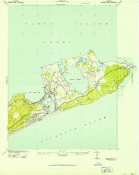
1942 · Montauk Point
USGS Topo · 1:24,000

1942 · Block Island
USGS Topo · 1:125,000

1943 · Gardiners Island East
USGS Topo · 1:24,000

1944 · Gardiners Island West
USGS Topo · 1:24,000
Featured Places
- East Hampton, NY
- Springs, East Hampton
- Montauk, East Hampton
- Amagansett, East Hampton
- Napeague, East Hampton