2000s (21st Century) Maps of Hague, New York
Explore 30 historic maps of Hague from the 2000s (21st Century). These maps offer a rare glimpse into what life looked like during the 2000s — showing old roads, neighborhoods, homes, and landmarks that have changed or disappeared over time.
Whether you're researching your family's past, planning a metal detecting trip, or studying how Hague's landscape evolved across the 2000s, these high-resolution maps are a powerful tool for exploring the history of this region.
- Focus on a specific era: All maps on this page are from the 2000s, giving you a focused view of this time period.
- See what’s changed: Compare century-old streets, trails, and buildings to today's modern landscape using overlays and satellite layers.
- Research with precision: Use these maps for genealogy, historical research, land use analysis, or educational projects.
- View, download, or print: Maps are fully viewable online in high resolution, and can be downloaded or printed for your own records.
Start exploring Hague's history through authentic maps from the 2000s. This is your window into the past.
Hague, NY maps
(30)- 2010 Map of Graphite, 2010 Print
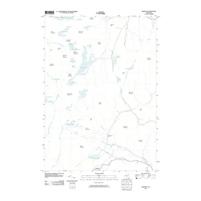 2010 Graphite2010 Print · USGSThe eastern Adirondacks are captured here in the early twenty-first century, showing the rugged topography around Graphite. Genealogists and hikers can locate the May Memorial Cemetery or trace paths to remote waters like Grizzle Ocean and Pharoah Lake.
 - 2010 Map of Brant Lake, 2010 Print
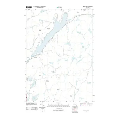 2010 Brant Lake2010 Print · USGSThe Adirondack highlands of Warren County come into focus in the early twenty-first century, centered on the sprawling Brant Lake. Researchers can trace old mountain roads and remote water bodies like Island Pond, Crystal Lake, and the winding Schroon River.
 - 2010 Map of Silver Bay, 2010 Print
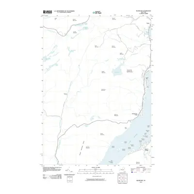 2010 Silver Bay2010 Print · USGSLake George's western shores and islands are meticulously documented in the early twenty-first century. Genealogists and historians can locate the Wardsboro Cemetery or trace the shoreline from Sabbath Day Point to the sheltered waters of Silver Bay.
 - 2010 Map of Pharaoh Mountain, 2010 Print
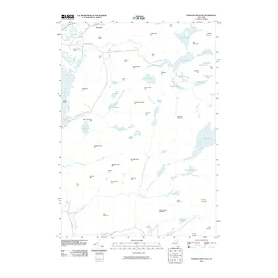 2010 Pharaoh Mountain2010 Print · USGSAdirondack high country and remote glacial ponds define this region during the early twenty-first century. Researchers can trace the isolated terrain around Pharaoh Mountain and identify landmarks like Schroon Lake Airport and the village of Severance.
 - 2012 Map of Ticonderoga, 2012 Print
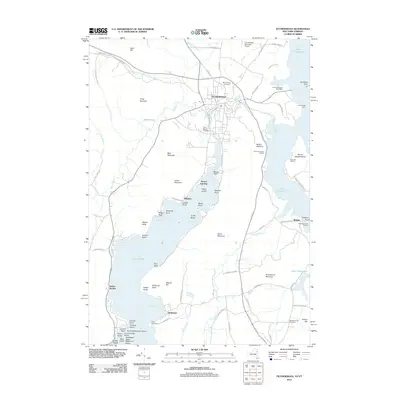 2012 Ticonderoga2012 Print · USGSTiconderoga and its surrounding lakeside settlements are captured here in the early twenty-first century as the historic gateway between two Great Lakes. Researchers can trace local landmarks like the Fort Ticonderoga Post Office, Ticonderoga Light, and Mount Hope Cemetery.
 - 2012 Map of Putnam, 2012 Print
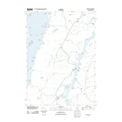 2012 Putnam2012 Print · USGSThe narrow land between Lake George and Lake Champlain is captured here in the early twenty-first century. Genealogists can locate family landmarks like Putnam Cemetery or trace the old routes of Military Rd and Doner Tpke.
 - 2013 Map of Silver Bay, 2013 Print
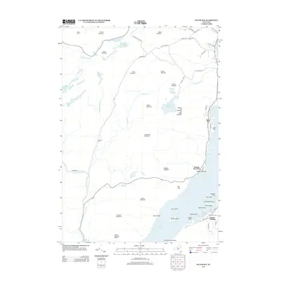 2013 Silver Bay2013 Print · USGSThe northern reaches of Lake George are captured here in the early twenty-first century, showing the interface of lakeside communities and mountain peaks. Genealogists and hikers can locate the Wardsboro Cem, the landing at Huletts Landing, and the many islands like Loon Island and Vicars Island.
 - 2013 Map of Putnam, 2013 Print
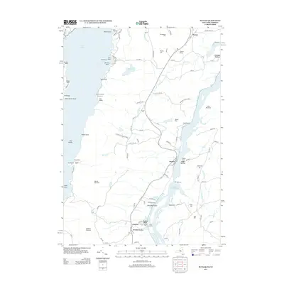 2013 Putnam2013 Print · USGSThe slender peninsula separating Lake George and Lake Champlain is captured here in the early twenty-first century. Researchers can trace lakeside history through Putnam Station, explore seasonal sites like Camp Endion, or locate the family-named Putnam Cem.
 - 2013 Map of Brant Lake, 2013 Print
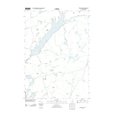 2013 Brant Lake2013 Print · USGSWarren County’s southern Adirondack landscape is captured here in the early twenty-first century, centered on the long basin of Brant Lake. Local historians can trace family locations near the Elbow Cem or the slopes of Pollyann Mountain and Buck Mountain.
 - 2013 Map of Graphite, 2013 Print
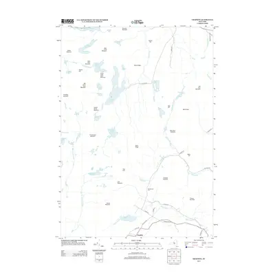 2013 Graphite2013 Print · USGSIn the Adirondack highlands during the early 21st century, this area shows a landscape of deep wilderness and scattered lakeside settlements. Genealogists and hikers can trace old routes near Graphite, the May Memorial Cem, and landmarks like Old Fort Mountain.
 - 2013 Map of Ticonderoga, 2013 Print
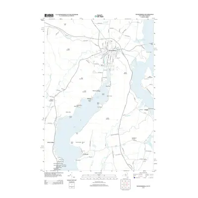 2013 Ticonderoga2013 Print · USGSTiconderoga and its surrounding lakeside reaches are captured here in the early twenty-first century, showing the meeting of two great lakes. Researchers can trace local history through sites like Mt Hope Cem, the Ticonderoga Light, and small settlements such as Glenburnie and Wright.
 - 2013 Map of Pharaoh Mountain, 2013 Print
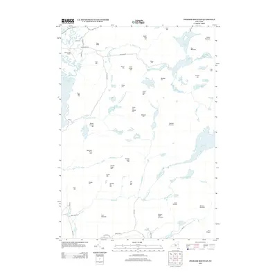 2013 Pharaoh Mountain2013 Print · USGSThe Adirondack wilderness around Ticonderoga is captured here in the early twenty-first century, showing a landscape of secluded waters and numbered peaks. Researchers can trace landforms and local access points from Pharaoh Mountain to Schroon Lake Airport and Crane Pond.
 - 2016 Map of Brant Lake, 2016 Print
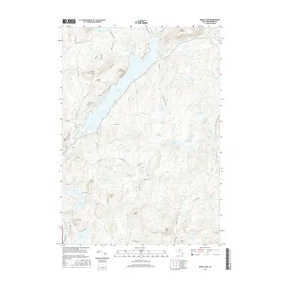 2016 Brant Lake2016 Print · USGSWarrensburg and the Adirondacks are captured here in the mid-2010s, showcasing a landscape of protected wilderness and deep-water lakes. Researchers can trace local landmarks like Elbow Cem, Sand Beach Mtn, and the winding Spuytenduyvel Brook.
 - 2016 Map of Ticonderoga, 2016 Print
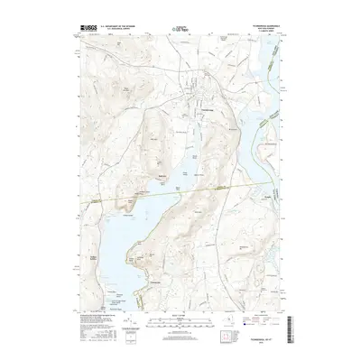 2016 Ticonderoga2016 Print · USGSThe strategic waters of the Champlain Valley are documented here in the early twenty-first century. Researchers can trace the legacy of the region through landmarks like Mt Defiance, La Chute, and local burial grounds such as Mount Hope Cem.
 - 2016 Map of Graphite, 2016 Print
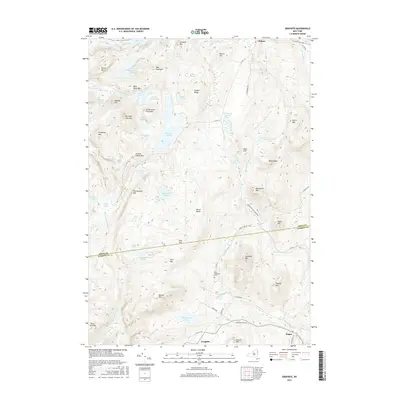 2016 Graphite2016 Print · USGSThe Adirondacks at the edge of the Essex and Warren county line are captured here in the mid-2010s. Researchers can locate the mountain settlement of Graphite, the May Memorial Cem, and remote landmarks like Grizzly Ocean or Old Ft Mtn.
 - 2016 Map of Silver Bay, 2016 Print
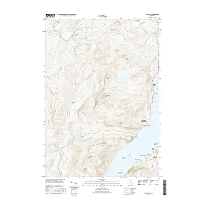 2016 Silver Bay2016 Print · USGSThe western shores of Lake George are captured here in the mid-2010s, showing the dramatic rise from the water to the Tongue Mountain Range. Historians and hikers can trace the paths around Silver Bay, Huletts Landing, and the remote Wardsboro Cem.
 - 2016 Map of Pharaoh Mountain, 2016 Print
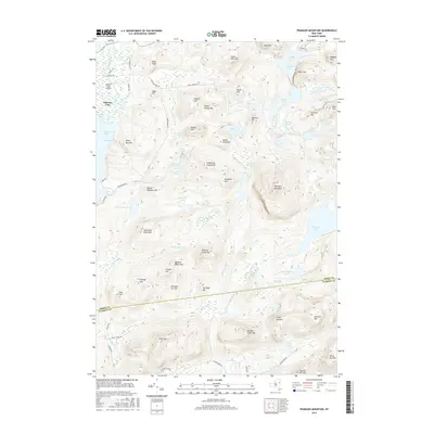 2016 Pharaoh Mountain2016 Print · USGSThe Pharaoh Lake Wilderness in the mid-2010s reveals a complex landscape of glacial ponds and Adirondack peaks. You can trace the rugged transition from the Schroon Lake shoreline past Pharaoh Mountain to interior landmarks like Crane Pond and Pyramid Lake.
 - 2016 Map of Putnam, 2016 Print
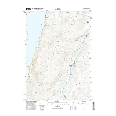 2016 Putnam2016 Print · USGSUpper Washington County remains a landscape of high ridges and narrow shores where Lake George nearly meets Lake Champlain. Genealogists and local historians can trace family locations near Putnam Station, Putnam Cem, and the lakeside hamlet of Dresden.
 - 2019 Map of Ticonderoga, 2019 Print
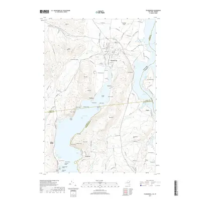 2019 Ticonderoga2019 Print · USGSTiconderoga and its surrounding lakefronts are shown in detail as they appeared in 2019, bridging the waters of Lake George and Lake Champlain. Researchers can trace the landscape from Mt Defiance to lakeside settlements like Baldwin and Glenburnie.
 - 2019 Map of Graphite, 2019 Print
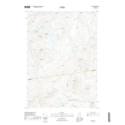 2019 Graphite2019 Print · USGSThe Adirondacks at the edge of the new millennium show a landscape of high peaks and isolated settlements like Graphite and Chilson. Genealogists and hikers can trace old routes to May Memorial Cem or follow the waters of Putnam Pond and Trout Brook.
 - 2019 Map of Pharaoh Mountain, 2019 Print
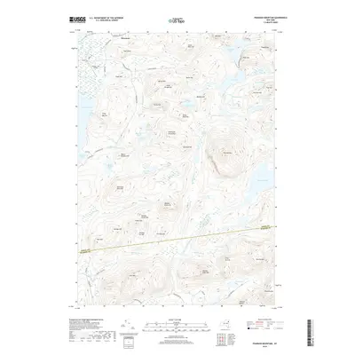 2019 Pharaoh Mountain2019 Print · USGSIn the Adirondack wilderness during the late twenty-teens, this area remains a high-country landscape of interconnected ponds and peaks. Researchers can trace the winding paths of Pharaoh Lake Brook and Mill Brook or locate landmarks like Owls Head, the settlement of Severance, and the Schroon Lake Airport.
 - 2019 Map of Silver Bay, 2019 Print
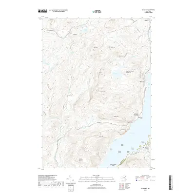 2019 Silver Bay2019 Print · USGSLake George's western shore and the surrounding Adirondack heights are captured here in the late twenty-teens. Researchers can locate the historic Wardsboro Cem or trace the shoreline from Sabbath Day Point to the community of Silver Bay.
 - 2019 Map of Brant Lake, 2019 Print
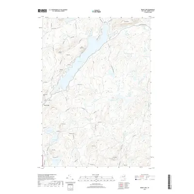 2019 Brant Lake2019 Print · USGSBrant Lake and the Adirondack wilderness are documented here in recent detail, showing the integration of small villages within the protected forest. Researchers can locate family landmarks like the Brant Lake Cem or trace the drainage from High Nopit down to the Schroon River.
 - 2019 Map of Putnam, 2019 Print
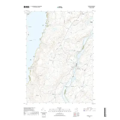 2019 Putnam2019 Print · USGSLake George and Lake Champlain meet in this Adirondack corridor, where steep ridges separate the two famous waterways. Genealogists and hikers can trace old routes like Military Rd to find the Putnam Cem, Gillette Cem, and the landing at Putnam Station.
 - 2023 Map of Graphite, 2023 Print
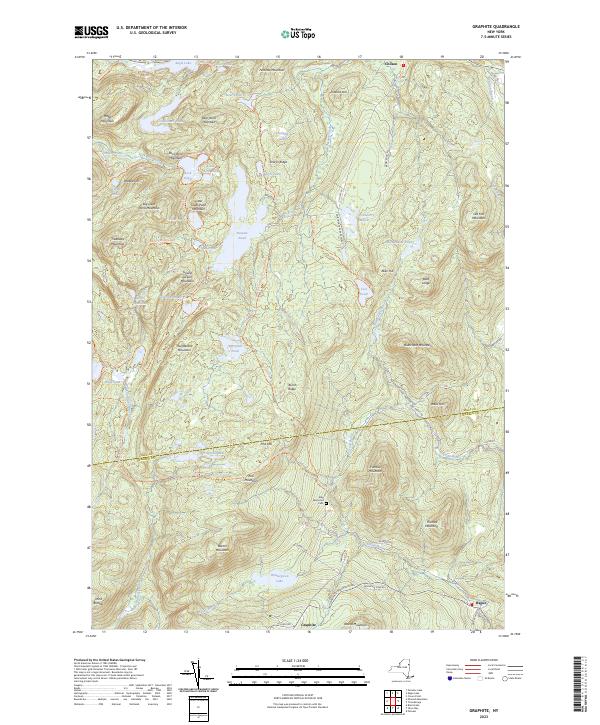 2023 Graphite2023 Print · USGSThe Adirondack highlands at the Essex and Warren county line are shown here as they appear in the early 2020s. Trace the mountain trails and historic locations around the village of Graphite, the May Memorial Cem, and the waters of Putnam Pond.
Showing maps 1-25 of 30
Top cities near Hague
- Fort Ann historical maps
- Ticonderoga historical maps
- Whitehall historical maps
- Warrensburg historical maps
- Lake George historical maps
- Chester historical maps
See more
Top neighborhoods of Hague
- Graphite historical maps
- Sabbath Day Point historical maps
- Silver Bay historical maps
- Indian Kettles historical maps
Frequently asked questions
- What are the different types of historical maps available for Hague?
- What is the oldest map of Hague?
- Where can I purchase historical maps of Hague for my home or office?
- Where can I download high-res historical maps of Hague?
- Are there historical topographic maps available for Hague?
- Is there historical aerial imagery available for Hague?
- Where are historical maps of Hague sourced from?