Old Maps of Hague, New York for Academic Research
Study the evolution of Hague with 57 high-resolution historic maps. Whether you're teaching, researching, or modeling changes in land use, these maps provide essential visual documentation of urban, environmental, and geographic change.
- Analyze long-term change: Track patterns in development, transportation, and natural features.
- Ideal for environmental or urban studies: Support academic projects with primary historical map data.
- Use in the classroom or lab: Educators and researchers rely on these maps to bring historical context to life.
These maps are a powerful tool for teaching, research, and visualizing how Hague has changed over the decades.
Hague, NY maps
(57)- 1893 Map of Whitehall, 1954 Print
 1893 Whitehall1954 Print · USGSThe borderlands of New York and Vermont are captured here during the peak of the canal and rail era. Genealogists and local historians can trace the transit networks of the Champlain Canal and find family-named points like Snody Dock, Benson Landing, and Howard Hill.
 - 1894 Map of Ticonderoga, 1954 Print
 1894 Ticonderoga1954 Print · USGSLake Champlain and its strategic fortifications appear here in the 1890s as a landscape of iron mining and essential rail junctions. Trace the historic grounds of Ft. Ticonderoga Ruin and the rail corridors of the Delaware and Hudson RR through Crown Point and Orwell.2 unique versions available
 - 1895 Map of Whitehall
 1895 Whitehall1895 Print · USGSThe Lake Champlain valley at the close of the nineteenth century reveals a landscape shaped by water and rail. Genealogists and historians can trace the early village of Whitehall, identify old steamer routes on Lake George, and locate rural settlements like Low Hampton and Dresden Center.
 - 1895 Map of Paradox Lake, 1954 Print
 1895 Paradox Lake1954 Print · USGSThe Adirondack high country near the turn of the century is captured here during the peak of its early industrial era. Trace the old mining works at Hammondville, the route of the Abandoned H. R. R., and remote mountain waters like Pharaoh Lake.
 - 1896 Map of Ticonderoga
 1896 Ticonderoga1896 Print · USGSThe strategic narrows of Lake Champlain and Lake George are shown here in the late nineteenth century, capturing the area's transition from military frontier to industrial corridor. Genealogists and historians can trace rail lines, steamer routes, and local landmarks like Ticonderoga Ruin, French Ch., and Burdicks Crossing.2 unique versions available
 - 1897 Map of Bolton
 1897 Bolton1897 Print · USGSLake George and the eastern Adirondacks are captured here at the peak of the steamboat era in the 1890s. Genealogists and historians can trace old lakeside settlements like Bolton Landing, Hague, and Sabbathday Point along the busy Steamboat Route.
 - 1897 Map of Paradox Lake
 1897 Paradox Lake1897 Print · USGSThe eastern Adirondacks near the turn of the century show a rugged landscape of early iron-and-rail industry. Researchers can trace the C. P. and H. R. R. (Abandoned) rail line near Ironville and locate historic settlements like Hammondville and Chilson.10 unique versions available
 - 1898 Map of Whitehall
 1898 Whitehall1898 Print · USGSThe Lake Champlain and Poultney River borderlands appear here in the late nineteenth century, just as the rail-and-water shipping corridor reached its height. Genealogists and historians can trace the old docks and depots at Snody Dock, Chubbs Dock, and Putnam Station.2 unique versions available
 - 1900 Map of Bolton
 1900 Bolton1900 Print · USGSThe Adirondack lakeshore comes alive in this late nineteenth-century survey, showcasing the steamboat-era connections of Lake George. Genealogists and local historians can trace family locations near Bolton Landing, Hague, and the remote heights of Tongue Mountain.13 unique versions available
 - 1902 Map of Whitehall
 1902 Whitehall1902 Print · USGSThe borderlands of New York and Vermont at the turn of the century show a region defined by the Champlain Canal and the Delaware and Hudson R.R. maritime and rail networks. Genealogists and historians can trace the early layout of Whitehall, small lakeside landings like Snody Dock, and the winding Poultney River.10 unique versions available
 - 1902 Map of Ticonderoga
 1902 Ticonderoga1902 Print · USGSThe Champlain Valley at the start of the twentieth century is captured here in the borderlands of New York and Vermont. Researchers can trace the military grounds of Fort Ticonderoga, identify operations at the Iron Mine, and locate rural stations like Burdick Crossing.11 unique versions available
 - 1950 Map of Glens Falls
 1950 Glens Falls1950 Print · USGSThe Adirondacks and the Green Mountains meet in this mid-century survey of the New York and Vermont borderlands. Researchers can trace the industrial rail corridors of the Rutland RR and Delaware & Hudson RR connecting Glens Falls, Rutland, and the shores of Lake George.
 - 1950 Map of Ticonderoga, 1952 Print
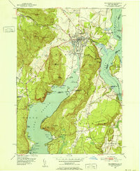 1950 Ticonderoga1952 Print · USGSThe Ticonderoga region was a vital crossroads at mid-century, where the waters of Lake George and Lake Champlain meet. Genealogists and historians can trace the foundations of the area through landmarks like Fort Ticonderoga, St Marys Cem, and the old Lower Chilson Sch.9 unique versions available
 - 1950 Map of Putnam, 1952 Print
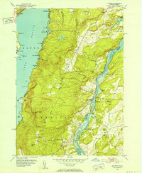 1950 Putnam1952 Print · USGSNew York’s Adirondack foothills meet the Vermont border at mid-century, spanning the high ground between two major lakes. Genealogists and historians can trace the lakeside settlements of Putnam and Dresden or find old family sites like Gilletts Cem and the Swale Sch.5 unique versions available
 - 1950 Map of Ticonderoga, 1960 Print
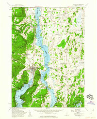 1950 Ticonderoga1960 Print · USGSThe Champlain Valley around the Vermont and New York border comes into focus just after the war, showing a landscape defined by its historic forts and rail lines. Genealogists and historians can trace family-named landmarks like Burdick Crossing, local schools such as Lake Sch, and old cemeteries including Lakeview Cem.3 unique versions available
 - 1950 Map of Whitehall, 1960 Print
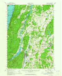 1950 Whitehall1960 Print · USGSMid-century Washington County and the Vermont border are revealed here at a time when the lake-and-rail economy remained central. Genealogists and historians can trace family plots at Dresden Cem, locate the William Miller Chapel, or find the old Hooper Mine and Carver Falls Dam.2 unique versions available
 - 1953 Map of Paradox Lake, 1956 Print
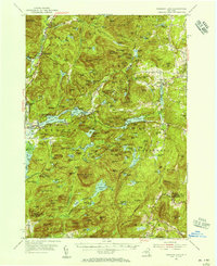 1953 Paradox Lake1956 Print · USGSThe Adirondack wilderness of the early fifties is preserved here, showing the balance between quiet settlements and the region's industrial past. Genealogists and historians can trace family locations near Ironville, St Nicholas Chapel, and the Schroon River Cem.5 unique versions available
 - 1956 Map of Glens Falls, 1968 Print
 1956 Glens Falls1968 Print · USGSUpper New York and the Vermont mountains are captured here in the mid-fifties, showing the rugged rail-and-river network of the Northeast. Researchers can trace the paths of the Delaware and Hudson RR and Rutland RR as they wind through valley towns like Poultney and Whitehall.3 unique versions available
 - 1958 Map of Bolton Landing, 1960 Print
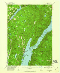 1958 Bolton Landing1960 Print · USGSLake George and its rugged islands are the centerpiece of this mid-century survey of the eastern Adirondacks. Local historians and genealogists can trace property locations and landing sites from Bolton Landing to Hague, including features like Union Chapel and the historic Sabbathday Point.4 unique versions available
 - 1959 Map of Glens Falls
 1959 Glens Falls1959 Print · USGSUpper New York and Vermont are captured here during the late 1950s, a period of transition for these mountain communities. Researchers can trace the legacy of the region's river-and-rail economy through landmarks like Lake George, Saratoga Springs, and Killington Peak.2 unique versions available
 - 1964 Map of Glens Falls
 1964 Glens Falls1964 Print · USGSThe tri-state borderlands of New York, Vermont, and New Hampshire appear here in the mid-1960s. Researchers can trace the rail routes of the Rutland RR and find historic sites like Ticonderoga and Saratoga National Historical Park.
 - 1966 Map of Brant Lake, 1969 Print
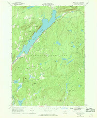 1966 Brant Lake1969 Print · USGSWarren County’s mountainous interior is shown in detail during the mid-sixties, centered on the long reach of Brant Lake. Local historians can trace old routes like Palisades Road and find landmarks such as the Cem near the Bolton township line.
 - 1966 Map of Silver Bay, 1970 Print
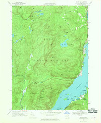 1966 Silver Bay1970 Print · USGSLake George shorelines and the high Adirondack interior meet in the mid-1960s, showing a landscape of remote mountain ponds and lakeside landings. Trace family history at the Wardsboro Cem or explore the historic docks at Silver Bay and Huletts Landing.2 unique versions available
 - 1973 Map of Graphite, 1975 Print
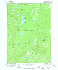 1973 Graphite1975 Print · USGSThe Adirondack high country in the early seventies shows a landscape of isolated hamlets and dense wilderness. Trace family footprints through Hague, find the small May Memorial Cem, or locate the inland mining settlement at Graphite.2 unique versions available
 - 1973 Map of Pharaoh Mountain, 1976 Print
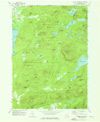 1973 Pharaoh Mountain1976 Print · USGSAdirondack wilderness in the early 1970s is characterized by its high summits and scattered backcountry ponds. Researchers can find old trails, the Sandpit Cem, and family-named landmarks like Wilson Hill or the Lookout Tower on Pharaoh Mountain.
Showing maps 1-25 of 57
Top cities near Hague
- Fort Ann historical maps
- Ticonderoga historical maps
- Whitehall historical maps
- Warrensburg historical maps
- Lake George historical maps
- Chester historical maps
See more
Top neighborhoods of Hague
- Graphite historical maps
- Sabbath Day Point historical maps
- Silver Bay historical maps
- Indian Kettles historical maps
Frequently asked questions
- What are the different types of historical maps available for Hague?
- What is the oldest map of Hague?
- Where can I purchase historical maps of Hague for my home or office?
- Where can I download high-res historical maps of Hague?
- Are there historical topographic maps available for Hague?
- Is there historical aerial imagery available for Hague?
- Where are historical maps of Hague sourced from?