2010s Maps of Warrensburg, New York
Explore 24 historic maps of Warrensburg from the 2010s. These maps offer a rare glimpse into what life looked like during the 2010s — showing old roads, neighborhoods, homes, and landmarks that have changed or disappeared over time.
Whether you're researching your family's past, planning a metal detecting trip, or studying how Warrensburg's landscape evolved across the 2010s, these high-resolution maps are a powerful tool for exploring the history of this region.
- Focus on a specific era: All maps on this page are from the 2010s, giving you a focused view of this time period.
- See what’s changed: Compare century-old streets, trails, and buildings to today's modern landscape using overlays and satellite layers.
- Research with precision: Use these maps for genealogy, historical research, land use analysis, or educational projects.
- View, download, or print: Maps are fully viewable online in high resolution, and can be downloaded or printed for your own records.
Start exploring Warrensburg's history through authentic maps from the 2010s. This is your window into the past.
Warrensburg, NY maps
(24)- 2010 Map of Chestertown, 2010 Print
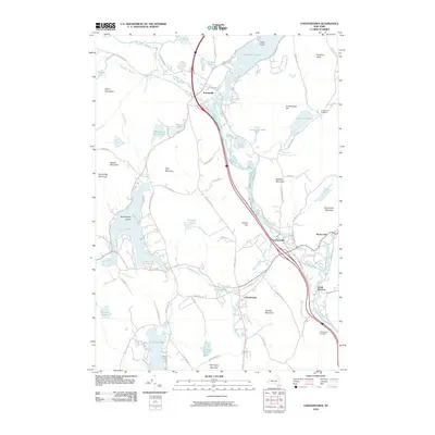 2010 Chestertown2010 Print · USGSAdirondack hamlets and glacial lakes define this Warren County landscape during the early twenty-first century. Genealogists and local historians can trace family roots through Underwood Cemetery and explore the historic layout of Chestertown, Pottersville, and Starbuckville.
 - 2010 Map of Stony Creek, 2010 Print
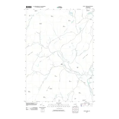 2010 Stony Creek2010 Print · USGSThe Adirondack foothills of Warren County are centered on the Stony Creek settlement and its riverine landscape at the turn of the decade. Researchers can trace the drainage of Wolf Pond and Kenyontown Creek or locate local landmarks like Holmes Hill and Walnut Ridge.
 - 2010 Map of Brant Lake, 2010 Print
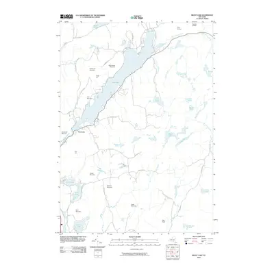 2010 Brant Lake2010 Print · USGSThe Adirondack highlands of Warren County come into focus in the early twenty-first century, centered on the sprawling Brant Lake. Researchers can trace old mountain roads and remote water bodies like Island Pond, Crystal Lake, and the winding Schroon River.
 - 2010 Map of Bolton Landing, 2010 Print
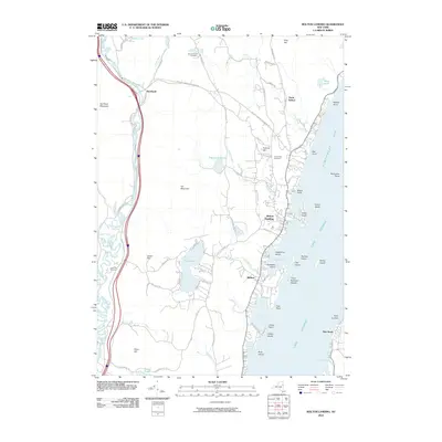 2010 Bolton Landing2010 Print · USGSThe western shores of Lake George are captured here in 2010, showing the well-developed waterfronts and the rugged interior ridges of Warren County. Genealogists and hikers can trace the roads to New Vermont Cemetery or explore the heights of Cat Mountain and Pilot Knob.
 - 2010 Map of Warrensburg, 2010 Print
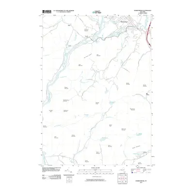 2010 Warrensburg2010 Print · USGSWarrensburg and the Adirondack foothills are captured here in the early twenty-first century, centered on the Hudson River and Schroon River junction. Genealogists can locate Cameron Cemetery and trace the rail history of the area through Thurman Station.
 - 2010 Map of The Glen, 2010 Print
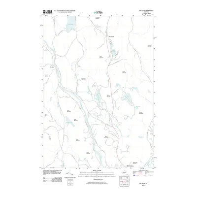 2010 The Glen2010 Print · USGSWarrensburg and the upper Hudson River valley are shown here in the early twenty-first century as they were shaped by the surrounding Adirondack peaks. Genealogists and researchers can trace local connections through family-named landmarks like Ben Wood Mountain, The Glen, and Darrowsville.
 - 2013 Map of Brant Lake, 2013 Print
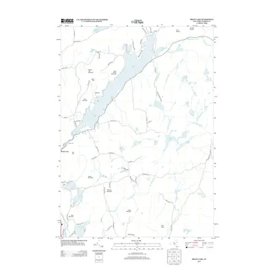 2013 Brant Lake2013 Print · USGSWarren County’s southern Adirondack landscape is captured here in the early twenty-first century, centered on the long basin of Brant Lake. Local historians can trace family locations near the Elbow Cem or the slopes of Pollyann Mountain and Buck Mountain.
 - 2013 Map of The Glen, 2013 Print
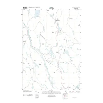 2013 The Glen2013 Print · USGSThe Hudson River valley north of Warrensburg was transitioning between tradition and recreation in the early 2010s. Genealogists and local researchers can locate family sites near Darrowsville Cem, the hamlet of The Glen, and along Old Route 9.
 - 2013 Map of Warrensburg, 2013 Print
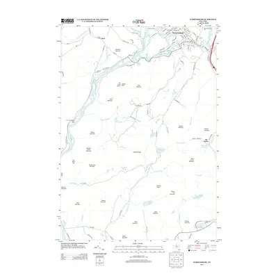 2013 Warrensburg2013 Print · USGSThe Adirondack foothills come alive in this map of the Hudson and Schroon River junction. Researchers can trace local heritage through Pendell Cem and Cameron Cem, or explore recreation sites like One Thousand Acres Ranch Resort and Camp Echo Lake.
 - 2013 Map of Stony Creek, 2013 Print
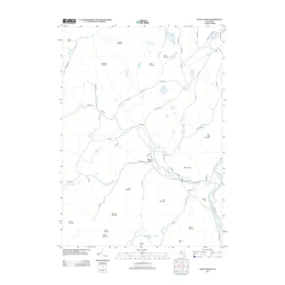 2013 Stony Creek2013 Print · USGSWarren County in the early 2010s reveals a landscape of high summits and winding waterways within the Adirondack Park Preserve. You can trace the path of the Hudson River and locate mountain landmarks like Hadley Mountain and the settlement of Stony Creek.
 - 2013 Map of Bolton Landing, 2013 Print
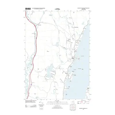 2013 Bolton Landing2013 Print · USGSThe Lake George shoreline and Adirondack foothills are captured here in the early twenty-first century. Researchers can locate numerous local burial sites like Federal Hill Cem and Beswick Cem alongside landmarks like Cat Mountain.
 - 2013 Map of Chestertown, 2013 Print
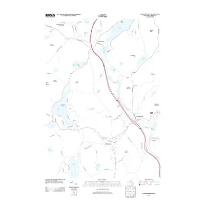 2013 Chestertown2013 Print · USGSChestertown and the surrounding Warren County highlands are captured here in the early twenty-first century as the Schroon River valley continues to balance wilderness and transit. Researchers can trace local landmarks like the Adirondack Natural Stone Bridge, the hamlet of Pottersville, and the shoreline of Friends Lake.
 - 2016 Map of Brant Lake, 2016 Print
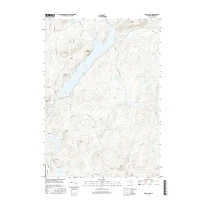 2016 Brant Lake2016 Print · USGSWarrensburg and the Adirondacks are captured here in the mid-2010s, showcasing a landscape of protected wilderness and deep-water lakes. Researchers can trace local landmarks like Elbow Cem, Sand Beach Mtn, and the winding Spuytenduyvel Brook.
 - 2016 Map of Stony Creek, 2016 Print
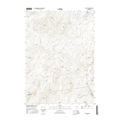 2016 Stony Creek2016 Print · USGSThe Adirondack foothills and the upper Hudson River valley are captured here in 2016 during a period of modern wilderness management. Genealogists and hikers can trace the winding paths of Harrisburg Rd to notable summits like Hadley Mtn and Moose Mtn.
 - 2016 Map of Chestertown, 2016 Print
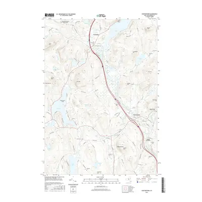 2016 Chestertown2016 Print · USGSThe Chestertown and Pottersville area is shown here in the mid-2010s, capturing the enduring river-and-lake geography of Warren County. Researchers can locate several burial sites like Old Pottersville Cem and West Church Cem, or trace landmarks such as the Adirondack Natural Stone Bridge.
 - 2016 Map of Bolton Landing, 2016 Print
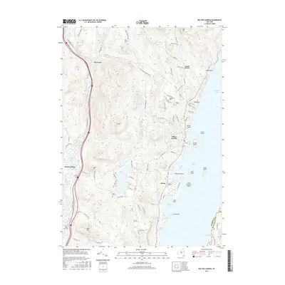 2016 Bolton Landing2016 Print · USGSThe western shores of Lake George and the rugged Adirondack foothills are captured here in the mid-2010s. Researchers can locate numerous family burial sites and landmarks like Bolton Rural Cem, Hiawatha Island, and the old settlement at Riverbank.
 - 2016 Map of The Glen, 2016 Print
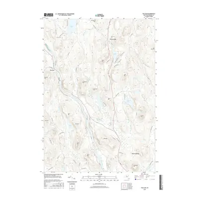 2016 The Glen2016 Print · USGSWarrensburg and the Hudson River valley are shown here in the mid-2010s, revealing a landscape of Adirondack peaks and glacial lakes. Researchers can trace family history at the Darrowsville Cem or locate old property lines near Friends Lake and The Glen.
 - 2016 Map of Warrensburg, 2016 Print
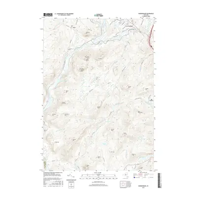 2016 Warrensburg2016 Print · USGSWarrensburg and Athol are shown in the mid-2010s at the junction of the Hudson River and Schroon River. Researchers can trace local heritage through the Warrensburg Cem, Cameron Cem, and family-named landmarks like The Three Sisters and Wegley Mtn.
 - 2019 Map of The Glen, 2019 Print
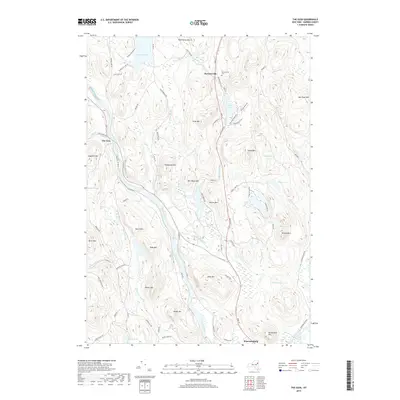 2019 The Glen2019 Print · USGSWarrensburg and the upper Hudson River valley appear here in a modern mapping of this Adirondack crossroads. Researchers can trace family history at Darrowsville Cemetery or explore the local topography near Friends Lake and Hackensack Mountain.
 - 2019 Map of Warrensburg, 2019 Print
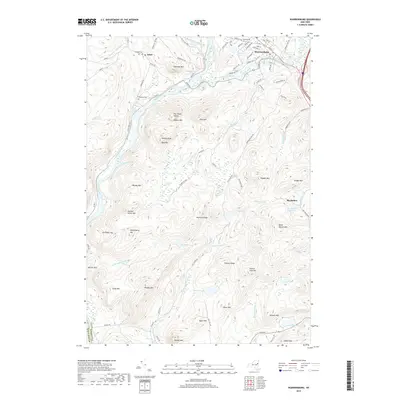 2019 Warrensburg2019 Print · USGSThe Adirondack foothills are captured here at the confluence of the Hudson and Schroon rivers during the late 2010s. Genealogists and historians can trace family plots at Warrensburg Cem or locate the rural crossroads of Athol and Big Hollow.
 - 2019 Map of Stony Creek, 2019 Print
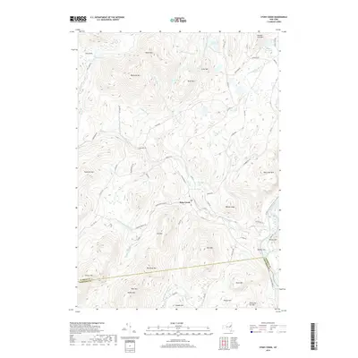 2019 Stony Creek2019 Print · USGSThe Adirondack foothills are captured here in the late 2010s as the wilderness meets the southern county lines. Trace the local topography through the peaks of Hadley Mtn and Baldhead Mtn or locate regional water features like Wolf Pond and the Hudson River.
 - 2019 Map of Brant Lake, 2019 Print
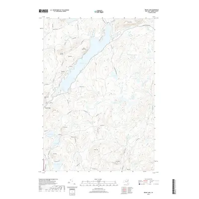 2019 Brant Lake2019 Print · USGSBrant Lake and the Adirondack wilderness are documented here in recent detail, showing the integration of small villages within the protected forest. Researchers can locate family landmarks like the Brant Lake Cem or trace the drainage from High Nopit down to the Schroon River.
 - 2019 Map of Chestertown, 2019 Print
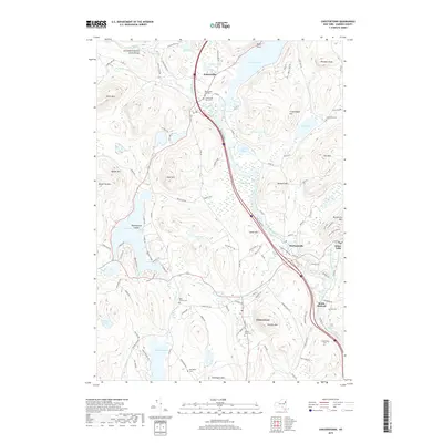 2019 Chestertown2019 Print · USGSThe Adirondack foothills are captured here in the late twenty-teens, showing the established communities of Chestertown and Pottersville. Genealogists can trace family names through several burial grounds like West Church Cem and Chester Rural Cem near Panther Mtn.
 - 2019 Map of Bolton Landing, 2019 Print
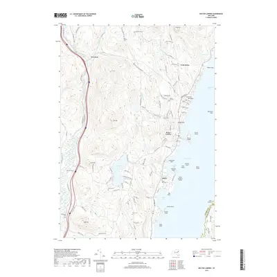 2019 Bolton Landing2019 Print · USGSThe western shores of Lake George and the Schroon River valley are documented here in the late twenty-teens. Local historians can trace family roots through several remote burial sites including New Vermont Cem and Federal Hill Cem or locate the historic Alms House.
End of results
Showing maps 1-24 of 24
Top cities near Warrensburg
- Queensbury historical maps
- Moreau historical maps
- Glens Falls historical maps
- Kingsbury historical maps
- Glens Falls North historical maps
- Hudson Falls historical maps
See more
Top neighborhoods of Warrensburg
Frequently asked questions
- What are the different types of historical maps available for Warrensburg?
- What is the oldest map of Warrensburg?
- Where can I purchase historical maps of Warrensburg for my home or office?
- Where can I download high-res historical maps of Warrensburg?
- Are there historical topographic maps available for Warrensburg?
- Is there historical aerial imagery available for Warrensburg?
- Where are historical maps of Warrensburg sourced from?