2000s (21st Century) Maps of Putnam, New York
Explore 21 historic maps of Putnam from the 2000s (21st Century). These maps offer a rare glimpse into what life looked like during the 2000s — showing old roads, neighborhoods, homes, and landmarks that have changed or disappeared over time.
Whether you're researching your family's past, planning a metal detecting trip, or studying how Putnam's landscape evolved across the 2000s, these high-resolution maps are a powerful tool for exploring the history of this region.
- Focus on a specific era: All maps on this page are from the 2000s, giving you a focused view of this time period.
- See what’s changed: Compare century-old streets, trails, and buildings to today's modern landscape using overlays and satellite layers.
- Research with precision: Use these maps for genealogy, historical research, land use analysis, or educational projects.
- View, download, or print: Maps are fully viewable online in high resolution, and can be downloaded or printed for your own records.
Start exploring Putnam's history through authentic maps from the 2000s. This is your window into the past.
Putnam, NY maps
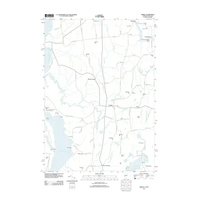
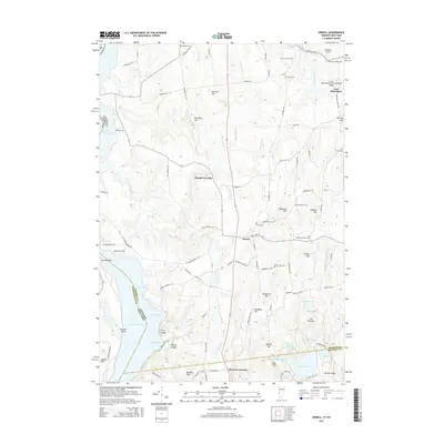
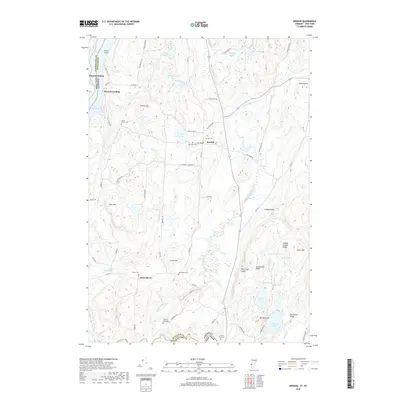
(21)- 2011 Map of Orwell, 2011 Print
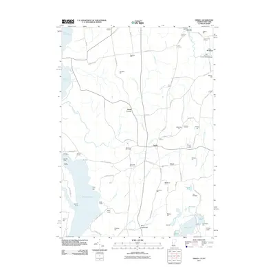 2011 Orwell2011 Print · USGSCovers Putnam, including Ticonderoga, Shoreham, and other nearby areas
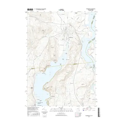
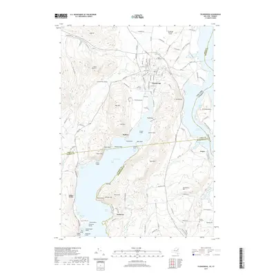
 - 2012 Map of Ticonderoga, 2012 Print
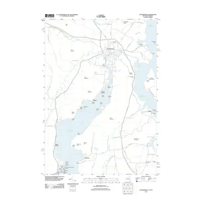 2012 Ticonderoga2012 Print · USGSCovers Putnam, including Ticonderoga, Shoreham, and other nearby areas
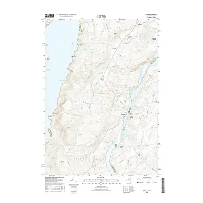
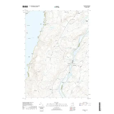
 - 2012 Map of Putnam, 2012 Print
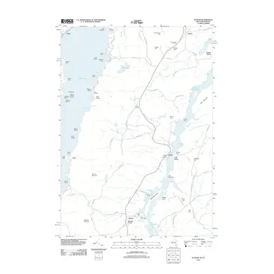 2012 Putnam2012 Print · USGSCovers Putnam, including Hague, Dresden, and other nearby areas
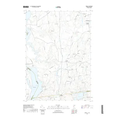
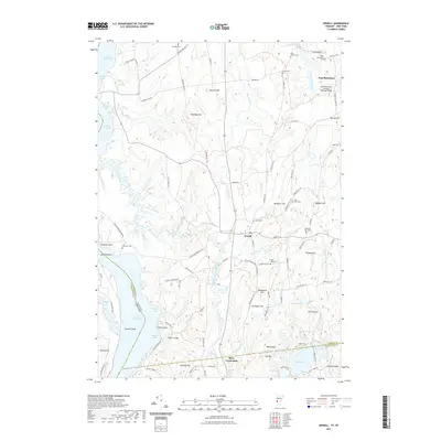
 - 2012 Map of Benson, 2012 Print
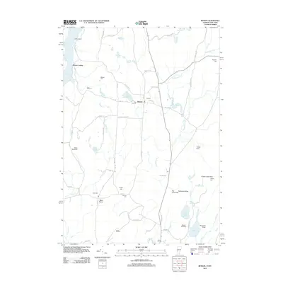 2012 Benson2012 Print · USGSCovers Putnam, including Whitehall, Fair Haven, and other nearby areas
 - 2012 Map of Orwell, 2012 Print
 2012 Orwell2012 Print · USGSCovers Putnam, including Ticonderoga, Shoreham, and other nearby areas
 - 2013 Map of Putnam, 2013 Print
 2013 Putnam2013 Print · USGSCovers Putnam, including Hague, Dresden, and other nearby areas
 - 2013 Map of Ticonderoga, 2013 Print
 2013 Ticonderoga2013 Print · USGSCovers Putnam, including Ticonderoga, Shoreham, and other nearby areas
 - 2015 Map of Benson, 2015 Print
 2015 Benson2015 Print · USGSCovers Putnam, including Whitehall, Fair Haven, and other nearby areas
 - 2015 Map of Orwell, 2015 Print
 2015 Orwell2015 Print · USGSCovers Putnam, including Ticonderoga, Shoreham, and other nearby areas
 - 2016 Map of Ticonderoga, 2016 Print
 2016 Ticonderoga2016 Print · USGSCovers Putnam, including Ticonderoga, Shoreham, and other nearby areas
 - 2016 Map of Putnam, 2016 Print
 2016 Putnam2016 Print · USGSCovers Putnam, including Hague, Dresden, and other nearby areas
 - 2018 Map of Orwell, 2018 Print
 2018 Orwell2018 Print · USGSCovers Putnam, including Ticonderoga, Shoreham, and other nearby areas
 - 2018 Map of Benson, 2018 Print
 2018 Benson2018 Print · USGSCovers Putnam, including Whitehall, Fair Haven, and other nearby areas
 - 2019 Map of Ticonderoga, 2019 Print
 2019 Ticonderoga2019 Print · USGSCovers Putnam, including Ticonderoga, Shoreham, and other nearby areas
 - 2019 Map of Putnam, 2019 Print
 2019 Putnam2019 Print · USGSCovers Putnam, including Hague, Dresden, and other nearby areas
 - 2021 Map of Benson, 2021 Print
 2021 Benson2021 Print · USGSCovers Putnam, including Whitehall, Fair Haven, and other nearby areas
 - 2021 Map of Orwell, 2021 Print
 2021 Orwell2021 Print · USGSCovers Putnam, including Ticonderoga, Shoreham, and other nearby areas
 - 2023 Map of Ticonderoga, 2023 Print
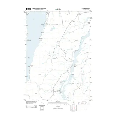
 2023 Ticonderoga2023 Print · USGSThe strategic waterway of La Chute and the town of Ticonderoga are shown in detail during the early 2020s. Researchers can trace the shoreline of Lake George to find Indian Kettles, Friends Point, and the Meadow Knoll Cemetery.
 - 2023 Map of Putnam, 2023 Print
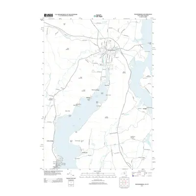
 2023 Putnam2023 Print · USGSThe Washington County shoreline between Lake George and Lake Champlain is captured here in detail during the early 2020s. Researchers can trace family history through sites like Putnam Cem, follow the winding Military Rd, or locate old landings at Putnam Station and Gull Bay.
 - 2024 Map of Benson, 2024 Print
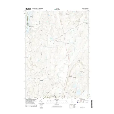
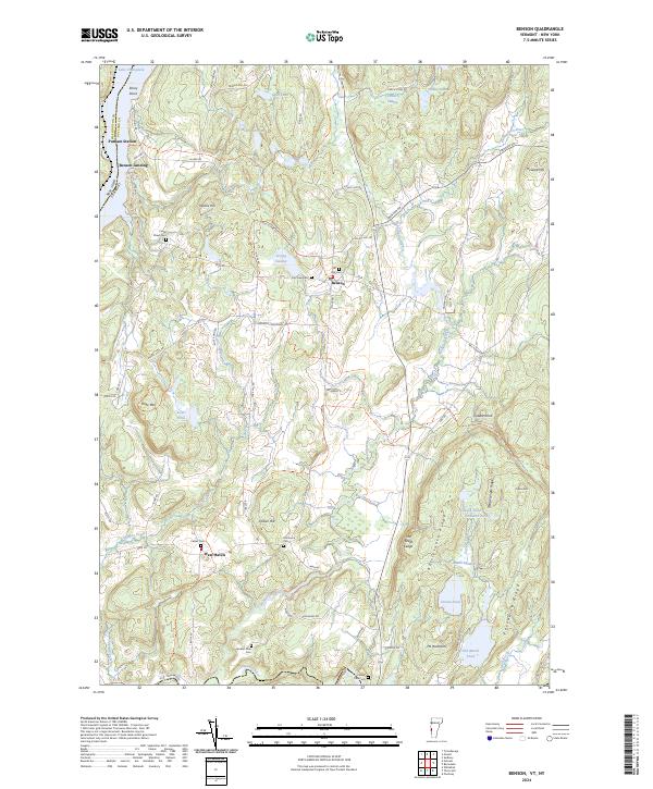 2024 Benson2024 Print · USGSThe borderlands of Rutland County come to life in this contemporary survey of the Lake Champlain shoreline. Genealogists and local historians can trace legacy sites from Benson Landing to several rural burial grounds, including Fair View Cem and Hitchcock Cem.
 - 2024 Map of Orwell, 2024 Print
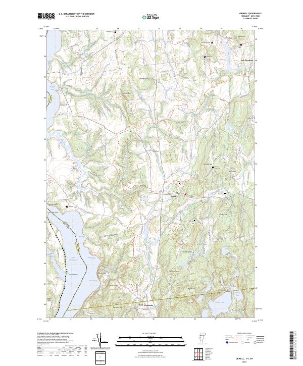 2024 Orwell2024 Print · USGSThe Lake Champlain shoreline meets the rolling hills of Addison County in this modern survey of Vermont's western border. Genealogists can locate numerous small burial grounds like Rich Family Cem and North Cem, or trace the rural routes connecting Orwell to East Shoreham.
End of results
Showing maps 1-21 of 21
Top cities near Putnam
- Fort Ann historical maps
- Ticonderoga historical maps
- Whitehall historical maps
- Poultney historical maps
- Fair Haven historical maps
- Whitehall historical maps
See more
Top neighborhoods of Putnam
Frequently asked questions
- What are the different types of historical maps available for Putnam?
- What is the oldest map of Putnam?
- Where can I purchase historical maps of Putnam for my home or office?
- Where can I download high-res historical maps of Putnam?
- Are there historical topographic maps available for Putnam?
- Is there historical aerial imagery available for Putnam?
- Where are historical maps of Putnam sourced from?