Old Maps of Hubbardton, Vermont
Explore 31 old maps of Hubbardton, spanning from 1895 to today. These high-resolution historic maps reveal how streets, neighborhoods, landmarks, and natural features evolved over time — perfect for genealogy, metal detecting, research, and local history exploration.
What you can do with these maps:
- See how Hubbardton changed over time: Compare historical maps to modern-day views to trace roads, homesites, rail lines & more.
- View detailed metadata: Each map includes creators, publishers, year, scale, and archive source.
- Overlay maps with satellite & LiDAR: Visualize the past alongside modern tools to explore terrain & human change.
- Trusted historical sources: Maps sourced from the USGS, Library of Congress, and other archives.
- Access maps your way: View online, download high-res files, or order prints for personal or research use.
Start exploring old maps of Hubbardton to uncover forgotten places, hidden landmarks, and the deep history beneath your feet.
Hubbardton, VT maps
(31)- 1895 Map of Castleton, 1960 Print
 1895 Castleton1960 Print · USGSRutland County's rugged terrain and valley settlements are captured here in the late nineteenth century, showing a landscape defined by mountain peaks and rail lines. You can trace the path of the Delaware and Hudson RR and locate vanished hamlets like Gothantown and Blissville.
 - 1897 Map of Castleton
 1897 Castleton1897 Print · USGSRutland County's industrial and agricultural heartland is captured here at the close of the nineteenth century. Researchers can trace historic rail routes like the Clarendon and Pittsford R. R. or locate family homesteads near Lake Bomoseen and Clarendon Springs.9 unique versions available
 - 1902 Map of Brandon, 1956 Print
 1902 Brandon1956 Print · USGSCentral Vermont at the turn of the century shows a landscape defined by the Otter Creek valley and the bustling Rutland Railroad. Genealogists and historians can trace old homesteads and rail sidings at Leicester Junction, Hyde Manor, and Forestdale.2 unique versions available
 - 1904 Map of Brandon
 1904 Brandon1904 Print · USGSCentral Vermont at the opening of the century shows a landscape defined by the Rutland R.R. and the winding Otter Creek. Genealogists and researchers can trace local landmarks from Hyde Manor to the mills of Forestdale and the rail hub at Leicester Junction.5 unique versions available
 - 1920 Map of Brandon
 1920 Brandon1920 Print · USGSVermont's western foothills and the Otter Creek valley are shown in detail during the early twentieth century. Researchers can trace the Rutland R. R. through Leicester Junction and find historic landmarks like Hyde Manor and the Lime Kiln.
 - 1944 Map of Proctor
 1944 Proctor1944 Print · USGSRutland County's industrial and social landscape is captured here in the mid-1940s as rail lines and river valleys define local life. Genealogists and researchers can trace local landmarks like Riverside Cem, Vermont Sanatorium, and the Gorham Bridge crossing.3 unique versions available
 - 1944 Map of Bomoseen
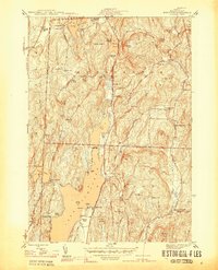 1944 Bomoseen1944 Print · USGSLake Bomoseen and the surrounding hills of Rutland County are captured in the mid-1940s during a period of transition between traditional farming and lakefront recreation. Researchers can locate rural landmarks like Turnpike Sch, East Hubbardton Cem, and the village of West Castleton.5 unique versions available
 - 1946 Map of Proctor
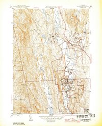 1946 Proctor1946 Print · USGSThe marble industrial center of Proctor and the neighboring town of Pittsford are shown here in the mid-1940s. Genealogists and historians can trace the locations of Riverside Cem, the Vermont Sanatorium, and local landmarks like Gorham Bridge.
 - 1946 Map of Sudbury, 1958 Print
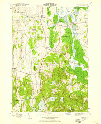 1946 Sudbury1958 Print · USGSRutland County's rural landscape is captured here in the mid-1940s, showing a network of small schoolhouses and historic estates. Genealogists and local historians can trace the foundations of Hyde Manor or locate the many district schools like Seth Warner Sch and Webster Sch.2 unique versions available
 - 1948 Map of Sudbury
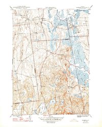 1948 Sudbury1948 Print · USGSSudbury and the surrounding Rutland County townships are mapped here in the late 1940s, showing a landscape of rural schools and wetland agriculture. Genealogists and researchers can locate landmarks like Hyde Manor, the Seth Warner Sch, and the rail crossing at Leicester Junction.2 unique versions available
 - 1950 Map of Glens Falls
 1950 Glens Falls1950 Print · USGSThe Adirondacks and the Green Mountains meet in this mid-century survey of the New York and Vermont borderlands. Researchers can trace the industrial rail corridors of the Rutland RR and Delaware & Hudson RR connecting Glens Falls, Rutland, and the shores of Lake George.
 - 1956 Map of Glens Falls, 1968 Print
 1956 Glens Falls1968 Print · USGSUpper New York and the Vermont mountains are captured here in the mid-fifties, showing the rugged rail-and-river network of the Northeast. Researchers can trace the paths of the Delaware and Hudson RR and Rutland RR as they wind through valley towns like Poultney and Whitehall.3 unique versions available
 - 1959 Map of Glens Falls
 1959 Glens Falls1959 Print · USGSUpper New York and Vermont are captured here during the late 1950s, a period of transition for these mountain communities. Researchers can trace the legacy of the region's river-and-rail economy through landmarks like Lake George, Saratoga Springs, and Killington Peak.2 unique versions available
 - 1964 Map of Glens Falls
 1964 Glens Falls1964 Print · USGSThe tri-state borderlands of New York, Vermont, and New Hampshire appear here in the mid-1960s. Researchers can trace the rail routes of the Rutland RR and find historic sites like Ticonderoga and Saratoga National Historical Park.
 - 1986 Map of Ticonderoga
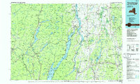 1986 Ticonderoga1986 Print · USGSThe Lake Champlain valley in the mid-eighties shows a landscape defined by Revolutionary War history and deep wilderness. Researchers can trace the Delaware and Hudson RR through the mountains or locate local landmarks like Fort Ticonderoga, St. Genevieve Cem, and the Ore Bed.
 - 1989 Map of Ticonderoga
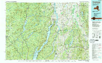 1989 Ticonderoga1989 Print · USGSThe Champlain Valley and Adirondack foothills meet in the late eighties, documenting a historic borderland defined by mountain lakes and timber. Genealogists and historians can trace the paths of the Delaware and Hudson RR or locate the Hubbardton Battlefield State Historic Site.2 unique versions available
 - 2012 Map of Sudbury, 2012 Print
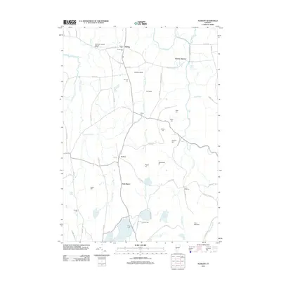 2012 Sudbury2012 Print · USGSThe Champlain Valley's rural character is preserved in this 2012 Vermont survey, showcasing a landscape of family-named cemeteries and winding waterways. Genealogists can trace family landmarks like G F Emmons Cem and the iconic Shoreham Covered Railroad Bridge.
 - 2012 Map of Bomoseen, 2012 Print
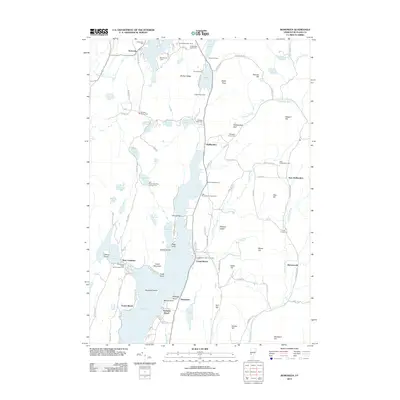 2012 Bomoseen2012 Print · USGSThe Lake Bomoseen area in the early 2010s reveals a landscape of deep-rooted lakeside communities and family-named landmarks. Trace local history through the Bradley Family Cem, the curious Float Bridge, and settlements like Hortonville or West Castleton.
 - 2012 Map of Proctor, 2012 Print
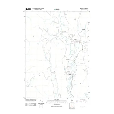 2012 Proctor2012 Print · USGSThe valley of the Otter Cr is captured here in the early twenty-first century, showing the established communities of Pittsford and Proctor. Researchers can trace multiple historic cemeteries and landmark crossings, including the Hammond Covered Bridge and Sutherland Falls.
 - 2015 Map of Bomoseen, 2015 Print
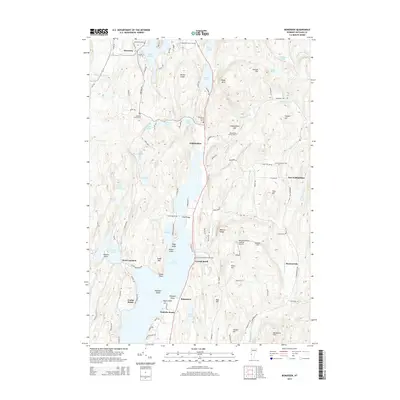 2015 Bomoseen2015 Print · USGSRutland County's lake country is seen here in the mid-2010s, where seasonal lakeside living meets historic rural settlements. Genealogists and historians can trace numerous family burial sites like Lincoln Cem and Bradley Family Cem, or locate landmarks such as Float Bridge and Hubbardton North Cem.
 - 2015 Map of Sudbury, 2015 Print
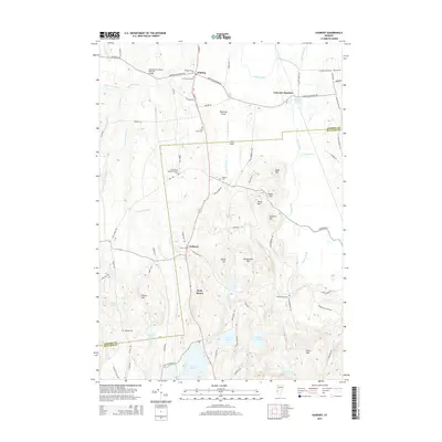 2015 Sudbury2015 Print · USGSRutland and Addison counties meet in this Vermont landscape during the mid-2010s, showing a region of legacy family farms and historic monuments. Genealogists can locate several small burial grounds like Wallace Cem and trace the area around Hyde Manor.
 - 2015 Map of Proctor, 2015 Print
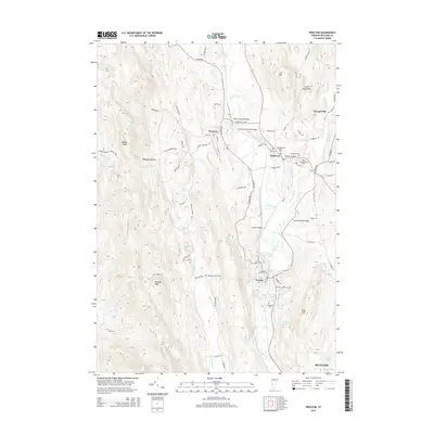 2015 Proctor2015 Print · USGSVermont's Otter Creek valley is shown here in the mid-2010s, capturing a landscape defined by its historic bridges and mountain gaps. Researchers can locate numerous burial grounds like Evergreen Cem or trace the path of the RUTLAND railroad through Proctor and Florence.
 - 2018 Map of Bomoseen, 2018 Print
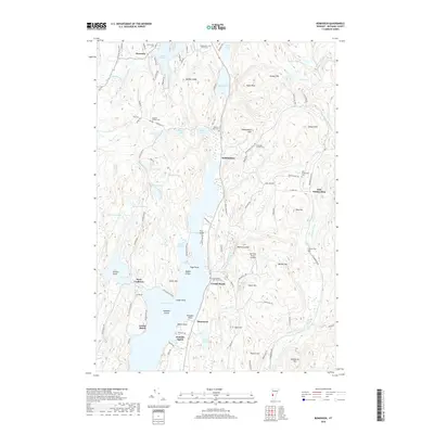 2018 Bomoseen2018 Print · USGSRutland County's lake district is captured here in the late twenty-tens, showing a landscape defined by the expansive Lake Bomoseen and the ridges of the Taconic Mountains. Researchers can locate numerous family burial sites like Resserie Family Cem or trace the early settlement at West Castleton.
 - 2018 Map of Proctor, 2018 Print
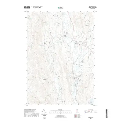 2018 Proctor2018 Print · USGSThe Otter Creek valley in Rutland County is captured here in the late 2010s, showcasing its enduring network of village centers and river crossings. Researchers can trace historic burial sites like the Congregational Burial Yard or locate iconic spans such as the Cooley Covered Bridge and Depot Covered Bridge.
 - 2018 Map of Sudbury, 2018 Print
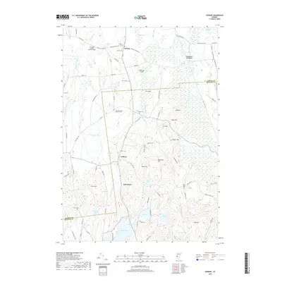 2018 Sudbury2018 Print · USGSRutland and Addison Counties are captured here in a period of quiet rural continuity. Researchers can trace historic family burial sites like Old South Cem and landmark structures including the Shoreham Covered Railroad Bridge and Hyde Manor.
Showing maps 1-25 of 31
Top cities near Hubbardton
- Rutland City historical maps
- Granville historical maps
- Fort Ann historical maps
- Ticonderoga historical maps
- Brandon historical maps
- Whitehall historical maps
See more
Top neighborhoods of Hubbardton
Frequently asked questions
- What are the different types of historical maps available for Hubbardton?
- What is the oldest map of Hubbardton?
- Where can I purchase historical maps of Hubbardton for my home or office?
- Where can I download high-res historical maps of Hubbardton?
- Are there historical topographic maps available for Hubbardton?
- Is there historical aerial imagery available for Hubbardton?
- Where are historical maps of Hubbardton sourced from?