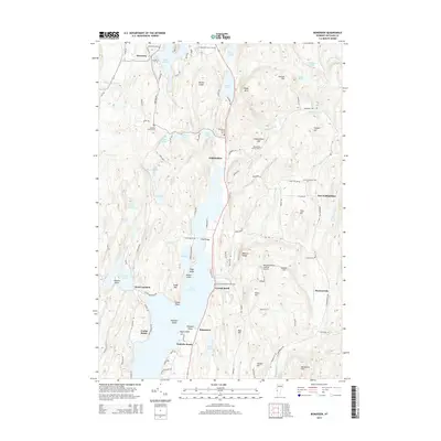
2015 Map of Bomoseen
USGS Topo · Published 2015About this map
Lake Bomoseen dominates this portion of Rutland County, its irregular shoreline dotted with settlements like Bomoseen, Avalon Beach, and Crystal Beach. The landscape reflects a mix of lakeside residential development and deep-rooted agricultural history, evidenced by the numerous small burial grounds such as the Bradley Family Cem and the Ressegrie Family Cem. To the north, the terrain becomes more varied with features like Hubbardton Gulf and Barber Ledge, while smaller water bodies including Beebe Pond and Lake Hortonia punctuate the uplands.
Find a feature on this map
62 named features on this map. Tap any name to fly to it.
Don’t see what you’re looking for? This feature index may not catch every label — zoom into the map to look around manually.
Map Details
Editions of this 2015 Bomoseen Map
This is the sole edition of this map. No revisions or reprints were ever made.
Other maps of this area

1893 · Whitehall
USGS Topo · 1:62,500

1894 · Ticonderoga
USGS Topo · 1:62,500

1895 · Whitehall
USGS Topo · 1:62,500

1895 · Castleton
USGS Topo · 1:62,500

1896 · Ticonderoga
USGS Topo · 1:62,500

1897 · Castleton
USGS Topo · 1:62,500

1898 · Whitehall
USGS Topo · 1:62,500

1902 · Whitehall
USGS Topo · 1:62,500

1902 · Ticonderoga
USGS Topo · 1:62,500

1902 · Brandon
USGS Topo · 1:62,500