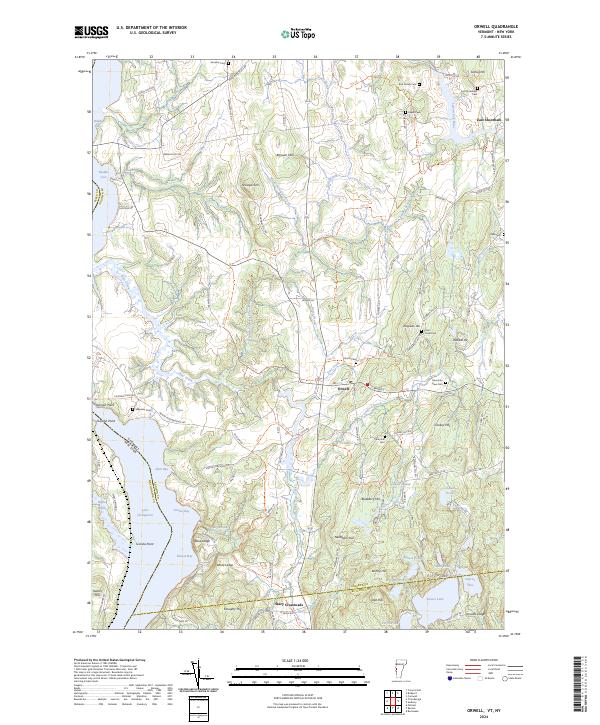
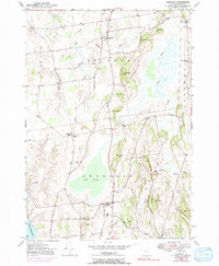
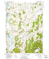
2024 Map of Orwell
USGS Topo · Published 2024About this map
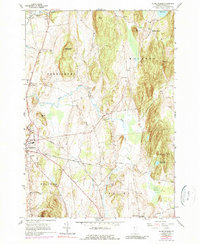
The waters of Lake Champlain define the western edge of this landscape, where the Vermont and New York state line cuts through Benson Bay and Allen Bay. The settlement of Orwell serves as a central hub, connected by a network of rural routes like Old Stage Rd and Church St. The area is characterized by a high density of small family and community burial grounds, including the Rich Family Cem and the Peter Hall Cem, which offer significant value for genealogists tracing local lineage.
Find a feature on this map
110 named features on this map. Tap any name to fly to it.
Don’t see what you’re looking for? This feature index may not catch every label — zoom into the map to look around manually.
Map Details
Editions of this 2024 Orwell Map
This is the sole edition of this map. No revisions or reprints were ever made.
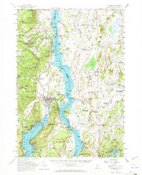
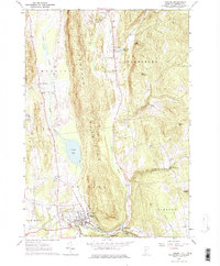
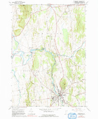
Historical Maps of Putnam Through Time
36 maps found
1902 Brandon
Addison County, VT
1903 Middlebury
Addison County, VT
1904 Brandon
Addison County, VT
1905 Middlebury
Addison County, VT

1915 Rochester
Addison County, VT
1917 Rochester
Addison County, VT

1920 Brandon
Addison County, VT

1920 Middlebury
Addison County, VT

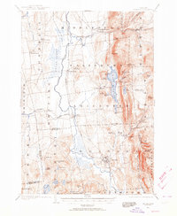
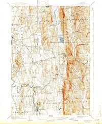
1927 Orwell
Addison County, VT
1943 Cornwall
Addison County, VT
1949 Bridport
Addison County, VT
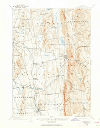
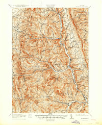
1949 Orwell
Addison County, VT

1950 Bridport
Addison County, VT
1950 Ticonderoga
Addison County, VT
1963 Bristol
Addison County, VT
1963 Middlebury
Addison County, VT
1963 Monkton Boro
Addison County, VT
1963 South Mountain
Addison County, VT
1970 Bread Loaf
Addison County, VT
1970 Hancock
Addison County, VT

1983 Cornwall
Addison County, VT

1997 Bread Loaf
Addison County, VT
1997 Bristol
Addison County, VT

1997 Hancock
Addison County, VT
1997 South Mountain
Addison County, VT
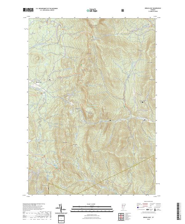
2024 Bread Loaf
Addison County, VT
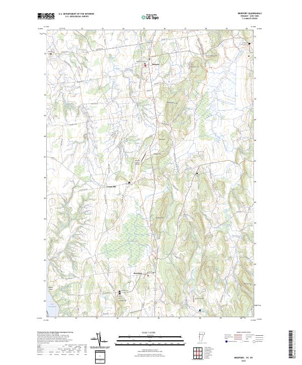
2024 Bridport
Addison County, VT
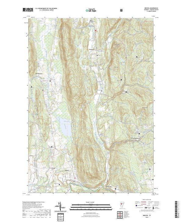
2024 Bristol
Addison County, VT
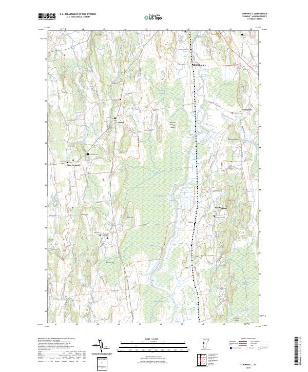
2024 Cornwall
Addison County, VT
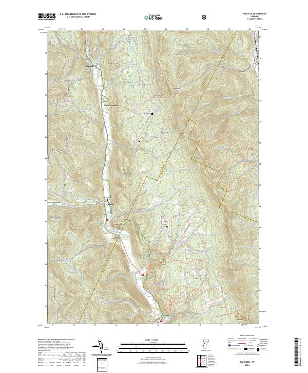
2024 Hancock
Addison County, VT
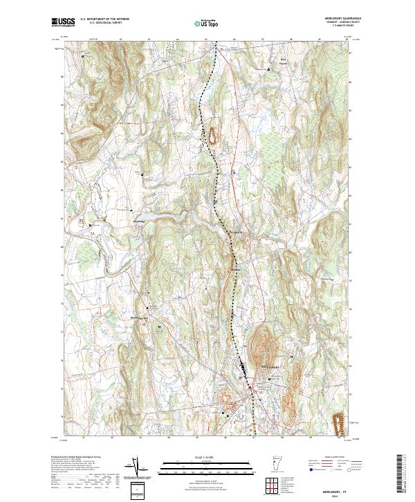
2024 Middlebury
Addison County, VT
2024 Orwell
Addison County, VT
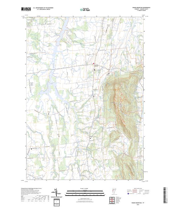
2024 Snake Mountain
Addison County, VT
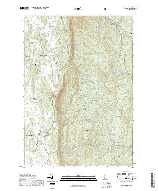
2024 South Mountain
Addison County, VT
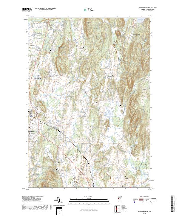
2024 Vergennes East
Addison County, VT
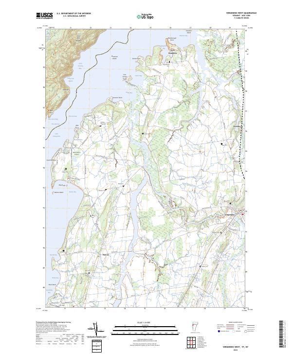
2024 Vergennes West
Addison County, VT