Old Maps of White Oak, North Carolina for Hiking & Exploration
Hike through history with 32 historic maps of White Oak. Explore old trails, ghost towns, and forgotten backroads — perfect for outdoor adventurers and local explorers.
- Rediscover forgotten places: Map out old mining camps, roads, and footpaths that no longer exist on modern maps.
- Layer with modern tools: Combine with LiDAR or satellite views to plan hikes through historical terrain.
- Made for exploration: Popular among hikers, overlanders, and local history lovers.
Use these maps to find adventure and explore the hidden past of White Oak.
White Oak, NC maps
(32)- 1953 Map of Florence, 1964 Print
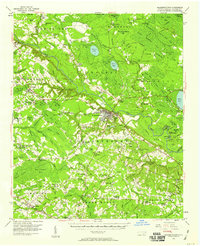
 1953 Florence1964 Print · USGSThe Carolina borderlands in the mid-fifties were a landscape of vast river swamps and rising rail towns. Trace the legacy of the Seaboard Air Line through Florence or explore the wetlands surrounding Lake Waccamaw and the Green Swamp.3 unique versions available
 - 1954 Map of Florence
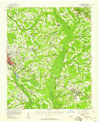
 1954 Florence1954 Print · USGSThe Carolinas borderlands come alive in the early fifties, showing the vital rail-and-river networks of the coastal plain. Genealogists can trace family footprints across the Green Swamp or through settlements like Red Springs, Chadbourn, and McColl.
 - 1955 Map of Elizabethtown, 1958 Print
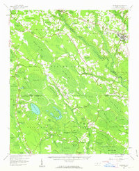
 1955 Elizabethtown1958 Print · USGSBladen County's landscape in the mid-1950s reveals a network of rural communities and unique Carolina Bays. Genealogists can trace family landmarks like Wesley Chapel, Washington High Sch, and the Seaboard Air Line rail stops.2 unique versions available
 - 1957 Map of Bladenboro, 1958 Print
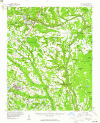
 1957 Bladenboro1958 Print · USGSCoastal plain swamp lands and small railroad towns meet in the 1950s along the border of Robeson and Bladen counties. Genealogists can trace family landmarks like Floyd Temple Ch, the Littlefield High Sch, and the historic path of the Old Stage Road.
 - 1959 Map of Roseboro, 1960 Print
 1959 Roseboro1960 Print · USGSSampson and Bladen Counties appear here in the late fifties, showcasing a unique geography of elliptical bays and vast swamps. Local historians can locate the Cedar Grove Lookout Tower, trace the railroad through Roseboro, or find family sites near Dove Chapel and Simmons Mill Pond.2 unique versions available
 - 1959 Map of Saint Pauls, 1961 Print
 1959 Saint Pauls1961 Print · USGSThe rural stretches of Cumberland and Robeson counties are captured here in the late fifties, showing a landscape defined by the Cape Fear River and its rail networks. Researchers can trace numerous country landmarks like Antioch Ch, Spring Hill Cem, and the timber bay of Gallberry Bay.2 unique versions available
 - 1982 Map of Elizabethtown, 1983 Print
 1982 Elizabethtown1983 Print · USGSSoutheastern North Carolina's coastal plain is captured here in the early eighties, showcasing a landscape defined by the Cape Fear River and mysterious Carolina Bays. Genealogists and researchers can trace the rail network of the Seaboard Coast Line through rural communities like Autryville, Ivanhoe, and the recreational hub of White Lake.
 - 1986 Map of Tar Heel, 1987 Print
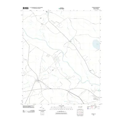
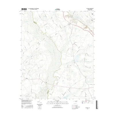
 1986 Tar Heel1987 Print · USGSThe riverfront at Tar Heel Landing and the wetlands of the Carolina bays define this coastal plain landscape in the mid-1980s. Genealogists can trace family landmarks and community hubs like Old Pait Cem, Beth Car Ch, and Mayville Crossing.
 - 1986 Map of Duart, 1987 Print
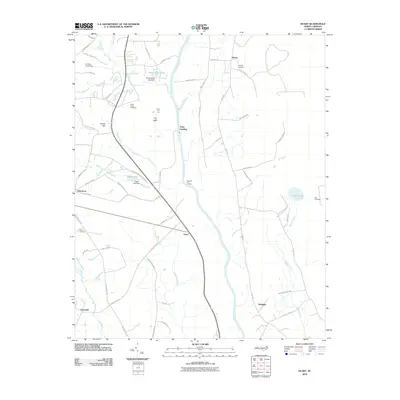
 1986 Duart1987 Print · USGSCoastal plain settlements near the Cape Fear River are captured here in the mid-1980s, showcasing a landscape of managed waterways and rural crossroads. Researchers can locate local landmarks like Millars Chapel, the William O Huske Lock and Dam No 3, and family burial grounds such as Wills Creek Cem.
 - 1987 Map of Jerome
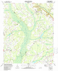
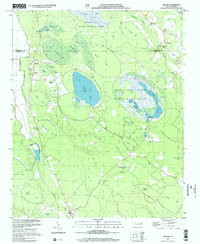
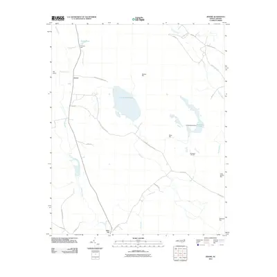
 1987 Jerome1987 Print · USGSCoastal plain wetlands and the unique Carolina Bays characterize the Bladen County interior in the late eighties. Researchers can trace rural settlement patterns near Jerome and White Oak, locating historic congregations at China Grove Ch and Dove Chapel.
 - 1987 Map of Dublin
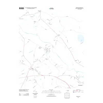
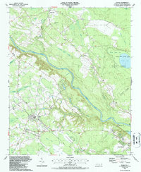 1987 Dublin1987 Print · USGSBladen County in the late eighties is defined by its Carolina bays and the winding Cape Fear River. Genealogists and local historians can trace rural landmarks from the Old Railroad Grade to historic congregations like Bethel Ch and Harrison Creek Ch.
 - 2002 Map of Jerome
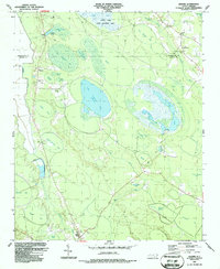
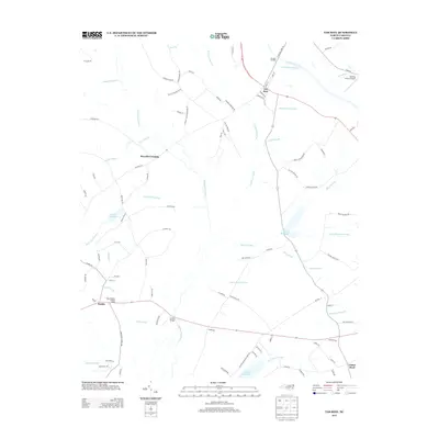
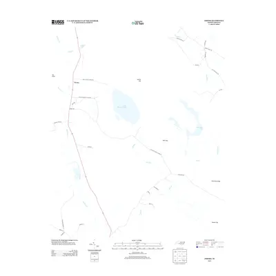
 2002 Jerome2002 Print · USGSBladen County at the turn of the millennium shows a landscape of protected wetlands and rural congregations. Trace local history through family-named bays and churches like Sharon Ch, China Grove Ch, and the waters of Suggs Mill Pond.
 - 2010 Map of Duart, 2010 Print
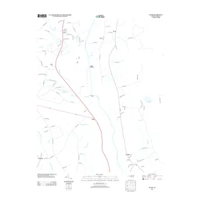
 2010 Duart2010 Print · USGSCovers White Oak, including Elease, Tolar Landing, and other nearby areas
 - 2010 Map of Dublin, 2010 Print
 2010 Dublin2010 Print · USGSCovers White Oak, including Elizabethtown, Dublin, and other nearby areas
 - 2010 Map of Tar Heel, 2010 Print
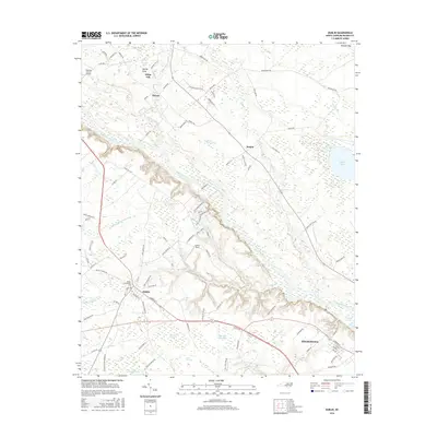
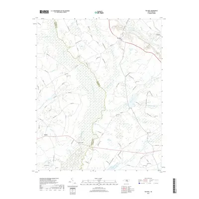
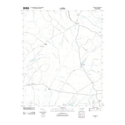 2010 Tar Heel2010 Print · USGSCovers White Oak, including Tar Heel, Smiths, and other nearby areas
 - 2010 Map of Jerome, 2010 Print
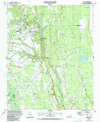
 2010 Jerome2010 Print · USGSCovers White Oak, including Jerome, Cumberland County, and other nearby areas
 - 2013 Map of Dublin, 2013 Print
 2013 Dublin2013 Print · USGSCovers White Oak, including Elizabethtown, Dublin, and other nearby areas
 - 2013 Map of Tar Heel, 2013 Print
 2013 Tar Heel2013 Print · USGSCovers White Oak, including Tar Heel, Smiths, and other nearby areas
 - 2013 Map of Duart, 2013 Print
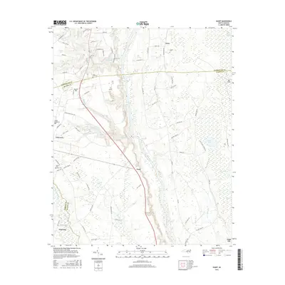
 2013 Duart2013 Print · USGSCovers White Oak, including Elease, Tolar Landing, and other nearby areas
 - 2013 Map of Jerome, 2013 Print
 2013 Jerome2013 Print · USGSCovers White Oak, including Jerome, Cumberland County, and other nearby areas
 - 2016 Map of Dublin, 2016 Print
 2016 Dublin2016 Print · USGSCovers White Oak, including Elizabethtown, Dublin, and other nearby areas
 - 2016 Map of Duart, 2016 Print
 2016 Duart2016 Print · USGSCovers White Oak, including Elease, Tolar Landing, and other nearby areas
 - 2016 Map of Jerome, 2016 Print
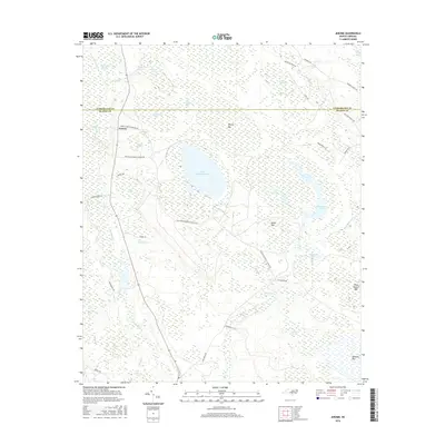 2016 Jerome2016 Print · USGSCovers White Oak, including Jerome, Cumberland County, and other nearby areas
 - 2016 Map of Tar Heel, 2016 Print
 2016 Tar Heel2016 Print · USGSCovers White Oak, including Tar Heel, Smiths, and other nearby areas
 - 2019 Map of Tar Heel, 2019 Print
 2019 Tar Heel2019 Print · USGSCovers White Oak, including Tar Heel, Smiths, and other nearby areas
Showing maps 1-25 of 32
Top cities near White Oak
- Hope Mills historical maps
- Elizabethtown historical maps
- Bladenboro historical maps
- Roseboro historical maps
- White Lake historical maps
- Butters historical maps
See more
Top neighborhoods of White Oak
Frequently asked questions
- What are the different types of historical maps available for White Oak?
- What is the oldest map of White Oak?
- Where can I purchase historical maps of White Oak for my home or office?
- Where can I download high-res historical maps of White Oak?
- Are there historical topographic maps available for White Oak?
- Is there historical aerial imagery available for White Oak?
- Where are historical maps of White Oak sourced from?