Old Maps of Shallotte, North Carolina for Academic Research
Study the evolution of Shallotte with 42 high-resolution historic maps. Whether you're teaching, researching, or modeling changes in land use, these maps provide essential visual documentation of urban, environmental, and geographic change.
- Analyze long-term change: Track patterns in development, transportation, and natural features.
- Ideal for environmental or urban studies: Support academic projects with primary historical map data.
- Use in the classroom or lab: Educators and researchers rely on these maps to bring historical context to life.
These maps are a powerful tool for teaching, research, and visualizing how Shallotte has changed over the decades.
Shallotte, NC maps
(42)- 1943 Map of Holden Beach, 1962 Print
 1943 Holden Beach1962 Print · USGSCoastal Brunswick County is captured here in the 1940s, showing the quiet marshlands and river necks before significant shoreline development. Researchers can trace the roots of the barrier island at Holden Beach and find inland sites like Sivey Town and Sabbath Haven Ch.
 - 1943 Map of Exum, 1962 Print
 1943 Exum1962 Print · USGSBrunswick County at the height of the Second World War reveals a landscape defined by the deep reaches of the Green Swamp. Local historians can trace family ties at Union Ch and Milligan Cem, or follow the Old RR Grade through the timbered wetlands.
 - 1943 Map of Supply, 1962 Print
 1943 Supply1962 Print · USGSCoastal Brunswick County in the 1940s is defined by the vast Green Swamp and the small settlements emerging along its edges. Genealogists and researchers can trace local landmarks like Prospect Ch, Royal Oak Sch, and the Railroad Grade.2 unique versions available
 - 1943 Map of Shallotte, 1962 Print
 1943 Shallotte1962 Print · USGSThe Brunswick County coast in the 1940s reveals a quiet network of tidal sounds and timberlands before modern development. Genealogists can trace family sites like Russtown, Register Cem, and local landmarks such as Brick Landing and Mintz Dam.
 - 1944 Map of Supply
 1944 Supply1944 Print · USGSBrunswick County during the Second World War shows a coastal landscape of timber roads and rural church communities. Trace family roots and local landmarks from Prospect to the Lockwoods Folly Bridge, including the Royal Oak School and Concord Church.
 - 1944 Map of Shallotte
 1944 Shallotte1944 Print · USGSThe Brunswick County coast comes alive in the 1940s, showing the intricate tidal networks and small communities of the North Carolina shore. Trace local heritage through landmarks like Russtown, the Brunswick Co School, and the Coast Guard Station at the inlet.
 - 1949 Map of Georgetown, 1953 Print
 1949 Georgetown1953 Print · USGSThe South Carolina coast and North Carolina borderlands appear here in the mid-century, prior to the major modern development of the Grand Strand. Genealogists and historians can trace the rail networks of the Seaboard Air Line Railroad and locate coastal landmarks from Fort Caswell to McClellanville.
 - 1950 Map of Shallotte, 1951 Print
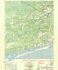 1950 Shallotte1951 Print · USGSThe Brunswick County coast comes alive in this mid-century survey, showcasing a landscape of tidal inlets and rural settlements. Genealogists and historians can trace family landmarks like Mintz Cem, locate the old Prison Camp, and follow the Shallotte River to the Brick Ldg.
 - 1950 Map of Supply, 1951 Print
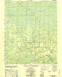 1950 Supply1951 Print · USGSCoastal Brunswick County in the mid-century is defined by its vast swamp networks and isolated rural settlements. Researchers can trace family-named landmarks and community hubs like Prospect Church, the Royal Oak School, and the historic Old Tram Road.
 - 1953 Map of Florence, 1964 Print
 1953 Florence1964 Print · USGSThe Carolina borderlands in the mid-fifties were a landscape of vast river swamps and rising rail towns. Trace the legacy of the Seaboard Air Line through Florence or explore the wetlands surrounding Lake Waccamaw and the Green Swamp.3 unique versions available
 - 1954 Map of Florence
 1954 Florence1954 Print · USGSThe Carolinas borderlands come alive in the early fifties, showing the vital rail-and-river networks of the coastal plain. Genealogists can trace family footprints across the Green Swamp or through settlements like Red Springs, Chadbourn, and McColl.
 - 1967 Map of Georgetown
 1967 Georgetown1967 Print · USGSThe South Carolina Lowcountry and Grand Strand meet in the late sixties, showcasing a coastal landscape transitioning from river-based industry to seaside tourism. Researchers can trace the Intracoastal Waterway past Georgetown or locate historical sites like Fort Fisher and Murrells Inlet.
 - 1974 Map of Georgetown, 1978 Print
 1974 Georgetown1978 Print · USGSThe Carolina coast and Pee Dee region are shown here in the mid-seventies, just as the Grand Strand was maturing into a premier destination. Researchers can trace the inland rail corridors of the Seaboard Coast Line Railroad or explore the coastal reaches of the Cape Romain National Wildlife Refuge and Myrtle Beach State Park.2 unique versions available
 - 1986 Map of Whiteville
 1986 Whiteville1986 Print · USGSSoutheastern North Carolina and the South Carolina borderlands are captured here in the mid-1980s as a landscape of vast swamps and rail towns. Researchers can trace historic rail routes through Chadbourn, locate the namesake Lake Waccamaw, and explore family-named sites like Peacocks.
 - 1986 Map of Myrtle Beach
 1986 Myrtle Beach1986 Print · USGSThe Grand Strand and Brunswick County coast are captured in the mid-eighties before the late-century development boom. Researchers can trace the footprint of the Myrtle Beach Air Force Base and old coastal settlements like Atlantic Beach and Socastee.
 - 1990 Map of Myrtle Beach
 1990 Myrtle Beach1990 Print · USGSThe Grand Strand and the North Carolina borderlands are captured here in the decade before the base closure. Genealogists and historians can trace the development of Myrtle Beach and North Myrtle Beach alongside rural landmarks like Star Bluff Crossroads and Fort Caswell.
 - 1990 Map of Exum
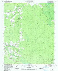 1990 Exum1990 Print · USGSThis coastal North Carolina interior was still a landscape of vast wetlands and scattered settlements in the 1990s. Genealogists and local historians can trace family ties at Exum and Makatoka, or find rural landmarks like St Matthew Ch and Griffin Cem.
 - 1990 Map of Whiteville
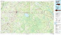 1990 Whiteville1990 Print · USGSSoutheastern North Carolina and the South Carolina borderlands appear in the late twentieth century, showing a landscape of river-swamps and tobacco towns. Researchers can trace family history through sites like Mount Olive Ch, the Seaboard Coast Line RR, and rural centers like Tabor City.
 - 1990 Map of Supply, 1991 Print
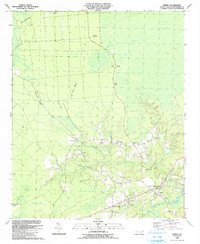 1990 Supply1991 Print · USGSCoastal Brunswick County in the late eighties reveals a landscape transitioning from the wild Green Swamp to the growing community center of Supply. Researchers can locate family landmarks like Prospect Cem and Galloway Cem, or trace the winding course of the Lockwoods Folly River.
 - 1990 Map of Shallotte, 1991 Print
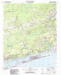 1990 Shallotte1991 Print · USGSThe North Carolina coast at the dawn of the 1990s showcases a transition between quiet wetlands and emerging beach communities. Local historians can trace the growth of Shallotte and Ocean Isle Beach while locating family landmarks like Mintz Cemetery and the Union School.
 - 1990 Map of Holden Beach, 1991 Print
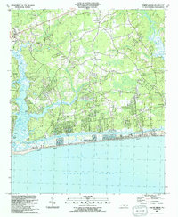 1990 Holden Beach1991 Print · USGSThe Brunswick County coast in the early nineties shows a landscape of developing beach communities and quiet inland settlements. Genealogists and local historians can trace family landmarks like Sabbath Home Ch, Varnamtown, and the old site of Holden Ferry.
 - 2002 Map of Exum
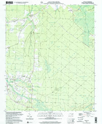 2002 Exum2002 Print · USGSCoastal Brunswick County comes into focus in this late-century survey, centered on the communities of Exum and Makatoka. Local historians can trace family roots through numerous small landmarks like Griffin Cem, St Matthew Ch, and Ludlum Pasture.
 - 2010 Map of Holden Beach, 2010 Print
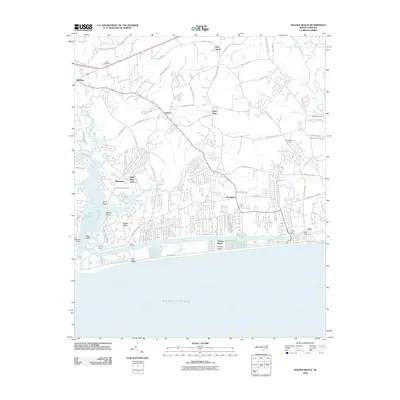 2010 Holden Beach2010 Print · USGSCoastal Brunswick County comes into focus in this 2010 survey, showcasing the maritime heritage of the Shallotte River and the barrier island communities. Genealogists and local historians can trace family ties at Lehew Cemetery or locate old water crossings like Holden Ferry.
 - 2010 Map of Supply, 2010 Print
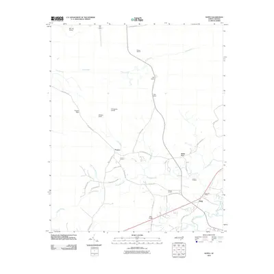 2010 Supply2010 Print · USGSCoastal Brunswick County is shown here in the early twenty-first century, revealing a landscape of winding river systems and small rural communities. Genealogists and researchers can locate Galloway Cemetery, Prospect Cemetery, and the riverside settlement of Doe Creek.
 - 2010 Map of Shallotte, 2010 Print
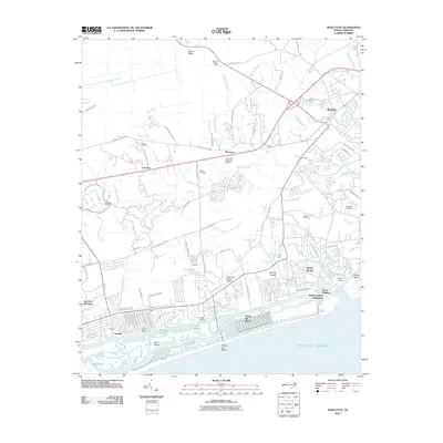 2010 Shallotte2010 Print · USGSThe Brunswick County coast near the end of the first decade of the 2000s shows a landscape of burgeoning coastal plantations and maritime hubs. Researchers can locate family heritage sites like Gurganus Cemetery alongside modern landmarks like Ocean Isle Beach Airport and Lions Paw Golf Links.
Showing maps 1-25 of 42
Top cities near Shallotte
- North Myrtle Beach historical maps
- Oak Island historical maps
- Sunset Beach historical maps
- Carolina Shores historical maps
- Holden Beach historical maps
- Calabash historical maps
See more
Top neighborhoods of Shallotte
Frequently asked questions
- What are the different types of historical maps available for Shallotte?
- What is the oldest map of Shallotte?
- Where can I purchase historical maps of Shallotte for my home or office?
- Where can I download high-res historical maps of Shallotte?
- Are there historical topographic maps available for Shallotte?
- Is there historical aerial imagery available for Shallotte?
- Where are historical maps of Shallotte sourced from?