Old Maps of Cloverhill Plantation, North Carolina for Hiking & Exploration
Hike through history with 17 historic maps of Cloverhill Plantation. Explore old trails, ghost towns, and forgotten backroads — perfect for outdoor adventurers and local explorers.
- Rediscover forgotten places: Map out old mining camps, roads, and footpaths that no longer exist on modern maps.
- Layer with modern tools: Combine with LiDAR or satellite views to plan hikes through historical terrain.
- Made for exploration: Popular among hikers, overlanders, and local history lovers.
Use these maps to find adventure and explore the hidden past of Cloverhill Plantation.
Cloverhill Plantation, NC maps
(17)- 1893 Map of Cranberry
 1893 Cranberry1893 Print · USGSThe high country of the Blue Ridge and Appalachians is captured here during the late 1800s, showing the early settlements and crossroads of Watauga and Johnson counties. Genealogists can trace family landmarks and early industry at Rhea Forge, Shulls Mill, and the many hamlets like Vilas and Sutherland.
 - 1895 Map of Cranberry
 1895 Cranberry1895 Print · USGSThe High Country of North Carolina and Tennessee comes alive in this late nineteenth-century survey. Genealogists and historians can trace the foundations of Mountain City or locate old community centers like Valle Cruces, Banners Elk, and Rhea Forge.
 - 1899 Map of Cranberry
 1899 Cranberry1899 Print · USGSThe high Appalachian borderlands of North Carolina and Tennessee appear here in the late nineteenth century, defined by mountain settlements and early river-powered industry. Researchers can trace the era's geography through landmarks like Rhea Forge, Shills Mill, and the historic Yonhalossee Road.
 - 1902 Map of Cranberry
 1902 Cranberry1902 Print · USGSThe North Carolina and Tennessee borderlands are captured here at the turn of the century as early railroads began penetrating the high ridges. Genealogists can trace family names and old settlements like Mountain City, Shoun Crossroads, and the industry at Rhea Forge.6 unique versions available
 - 1936 Map of Blowing Rock
 1936 Blowing Rock1936 Print · USGSThe North Carolina high country around Boone and Blowing Rock is documented here in the mid-1930s. Genealogists and researchers can trace family-named landmarks and mountain institutions, from the COUNTY HOME to remote sites like Bailey Camp Sch and St Marys Ch.
 - 1942 Map of Blowing Rock
 1942 Blowing Rock1942 Print · USGSWatauga and Caldwell Counties are shown here during the late nineteen-thirties and early forties, capturing the traditional highland communities and early development of the Blue Ridge Parkway. Genealogists can locate family landmarks like Shulls Mills, Poplar Grove Ch, and Liberty Hill Sch.4 unique versions available
 - 1953 Map of Winston-Salem, 1974 Print
 1953 Winston-Salem1974 Print · USGSThe North Carolina Piedmont and Virginia highlands meet in the mid-1950s, a landscape defined by the tobacco and textile hubs of the Blue Ridge foothills. Researchers can trace the rail-and-river geography connecting Winston-Salem to mountain towns like Mount Airy and Galax.2 unique versions available
 - 1955 Map of Winston-Salem
 1955 Winston-Salem1955 Print · USGSThe Central Blue Ridge and Piedmont transition are captured here in the mid-fifties, from the industrial hub of Winston-Salem to the high peaks of Southwest Virginia. Genealogists can trace family landmarks like Richmond Hill Ch, Siloam Ch, and the old rail stops along the Southern Railway.
 - 1962 Map of Winston-Salem
 1962 Winston-Salem1962 Print · USGSThe North Carolina Piedmont meets the Virginia highlands in the early sixties, showing the rail corridors and mountain gaps of the southern Appalachians. Researchers can trace the Blue Ridge Parkway or locate family sites near Winston-Salem, Mount Airy, and Hanging Rock Mountain.
 - 1967 Map of Buffalo Cove, 1968 Print
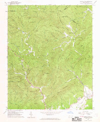 1967 Buffalo Cove1968 Print · USGSCaldwell County's mountain coves and the upper Yadkin River are surveyed here in the late sixties as the region maintained its rural character. Genealogists can locate family landmarks like Patterson Sch, Silvervale Falls, and early churches such as Nelson Chapel.2 unique versions available
 - 1985 Map of Boone, 1986 Print
 1985 Boone1986 Print · USGSThe High Country and Blue Ridge Mountains come into focus during the mid-eighties as Boone and its surrounding wilderness areas undergo modern expansion. Genealogists and historians can trace family-named ridges and landmarks near Appalachian State University, the Cranberry Mines, and Valle Crucis.2 unique versions available
 - 1994 Map of Buffalo Cove, 1998 Print
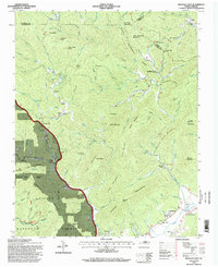 1994 Buffalo Cove1998 Print · USGSThe Blue Ridge foothills near the Caldwell and Wilkes county line come alive in this mid-nineties survey. Genealogists can trace family names and sites through the Patterson School, Bethany Church, and the Chapel of Rest.
 - 2011 Map of Buffalo Cove, 2011 Print
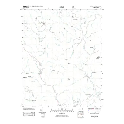 2011 Buffalo Cove2011 Print · USGSThe foothills of the Blue Ridge come alive in this survey of the Yadkin River valley near the turn of the decade. Researchers can trace family sites at Cloverhill Plantation or follow the winding roads to Buffalo Cove and Richland.
 - 2013 Map of Buffalo Cove, 2013 Print
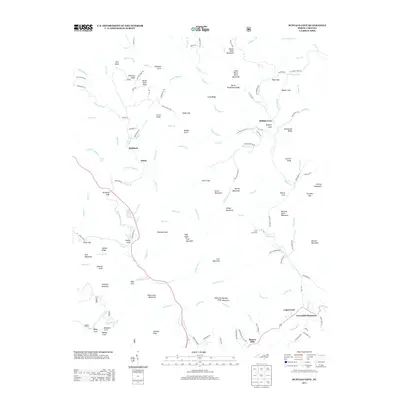 2013 Buffalo Cove2013 Print · USGSThe Yadkin River valley and the surrounding Blue Ridge peaks are captured here in the early twenty-first century. Researchers can locate the historic Cloverhill Plantation, the community of Legerwood, and natural landmarks like Silvervale Falls or Winding Stairs Mountain.
 - 2016 Map of Buffalo Cove, 2016 Print
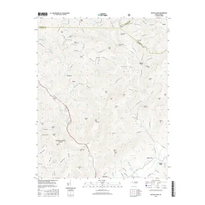 2016 Buffalo Cove2016 Print · USGSCaldwell County's mountain coves and river valleys are shown in detail here during the mid-2010s. Genealogists and local historians can trace family roots near Patterson, Buffalo Cove, and Legerwood, or locate landmarks like Cones Lake and Winding Stairs Mtn.
 - 2019 Map of Buffalo Cove, 2019 Print
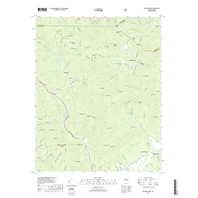 2019 Buffalo Cove2019 Print · USGSCaldwell County's river valleys and forest ridges are documented here in the late twenty-tens as the rural character of the Blue Ridge persists. Genealogists and researchers can trace family lands near Buffalo Cove, Happy Valley, and the Yadkin River.
 - 2022 Map of Buffalo Cove, 2022 Print
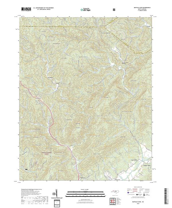 2022 Buffalo Cove2022 Print · USGSThe North Carolina high country at the Caldwell and Watauga county lines is shown here in detail during the early 2020s. Researchers can locate long-standing communities such as Buffalo Cove and Legerwood or trace the Yadkin River headwaters near Happy Valley.
End of results
Showing maps 1-17 of 17
Top cities near Cloverhill Plantation
- Hickory historical maps
- Boone historical maps
- Lenoir historical maps
- Sawmills historical maps
- Granite Falls historical maps
- Gamewell historical maps
See more
Frequently asked questions
- What are the different types of historical maps available for Cloverhill Plantation?
- What is the oldest map of Cloverhill Plantation?
- Where can I purchase historical maps of Cloverhill Plantation for my home or office?
- Where can I download high-res historical maps of Cloverhill Plantation?
- Are there historical topographic maps available for Cloverhill Plantation?
- Is there historical aerial imagery available for Cloverhill Plantation?
- Where are historical maps of Cloverhill Plantation sourced from?