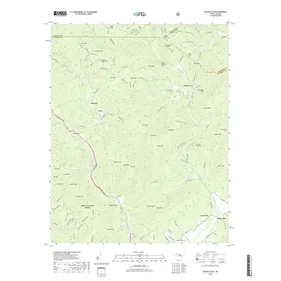
2019 Map of Buffalo Cove
USGS Topo · Published 2019About this map
Buffalo Cove and the surrounding river valleys of Caldwell County are the focus of this 2019 survey, illustrating the complex drainage of the Yadkin River and its numerous tributaries like Buffalo Cr. The map details the transition from the relatively flat valley floor at Yadkin Valley and Happy Valley to the steep, wooded terrain of the Pisgah National Forest. Small settlements such as Finley, Richland, and Legerwood are situated along the lower elevations, while the higher ridges are marked by features like Winding Stairs Mtn and Raven Rock Knob.
Find a feature on this map
171 named features on this map. Tap any name to fly to it.
Don’t see what you’re looking for? This feature index may not catch every label — zoom into the map to look around manually.
Map Details
Editions of this 2019 Buffalo Cove Map
This is the sole edition of this map. No revisions or reprints were ever made.
Other maps of this area

1889 · Wilkesboro
USGS Topo · 1:125,000

1891 · Wilkesboro
USGS Topo · 1:125,000

1893 · Cranberry
USGS Topo · 1:125,000

1895 · Hickory
USGS Topo · 1:125,000

1895 · Cranberry
USGS Topo · 1:125,000

1899 · Cranberry
USGS Topo · 1:125,000

1902 · Cranberry
USGS Topo · 1:125,000

1905 · Morganton
USGS Topo · 1:125,000

1934 · Boone
USGS Topo · 1:24,000

1936 · Blowing Rock
USGS Topo · 1:48,000