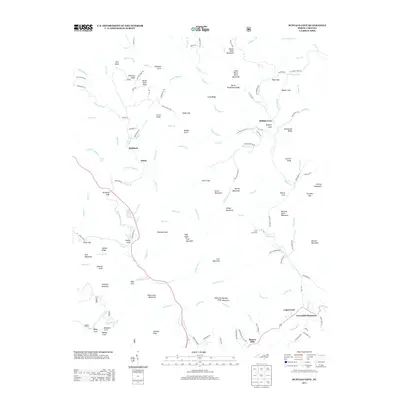
2013 Map of Buffalo Cove
USGS Topo · Published 2013About this map
The Yadkin River defines the lower drainage of this landscape, flowing past the Cloverhill Plantation and the community of Legerwood in the southeast. This 2013 survey illustrates a region where narrow mountain valleys dictate the placement of settlements like Buffalo Cove and Richland. The terrain is characterized by a series of prominent peaks and gaps, including White Rock Mountain, Winding Stairs Mountain, and Stone Mountain, which separate the various coves and creek beds.
Find a feature on this map
154 named features on this map. Tap any name to fly to it.
Don’t see what you’re looking for? This feature index may not catch every label — zoom into the map to look around manually.
Map Details
Editions of this 2013 Buffalo Cove Map
This is the sole edition of this map. No revisions or reprints were ever made.
Other maps of this area

1889 · Wilkesboro
USGS Topo · 1:125,000

1891 · Wilkesboro
USGS Topo · 1:125,000

1893 · Cranberry
USGS Topo · 1:125,000

1895 · Hickory
USGS Topo · 1:125,000

1895 · Cranberry
USGS Topo · 1:125,000

1899 · Cranberry
USGS Topo · 1:125,000

1902 · Cranberry
USGS Topo · 1:125,000

1905 · Morganton
USGS Topo · 1:125,000

1934 · Boone
USGS Topo · 1:24,000

1936 · Blowing Rock
USGS Topo · 1:48,000