2000s (21st Century) Maps of Clay County, North Carolina
Explore 70 historic maps of Clay County from the 2000s (21st Century). These maps offer a rare glimpse into what life looked like during the 2000s — showing old roads, neighborhoods, homes, and landmarks that have changed or disappeared over time.
Whether you're researching your family's past, planning a metal detecting trip, or studying how Clay County's landscape evolved across the 2000s, these high-resolution maps are a powerful tool for exploring the history of this region.
- Focus on a specific era: All maps on this page are from the 2000s, giving you a focused view of this time period.
- See what’s changed: Compare century-old streets, trails, and buildings to today's modern landscape using overlays and satellite layers.
- Research with precision: Use these maps for genealogy, historical research, land use analysis, or educational projects.
- View, download, or print: Maps are fully viewable online in high resolution, and can be downloaded or printed for your own records.
Start exploring Clay County's history through authentic maps from the 2000s. This is your window into the past.
Clay County, NC maps
(70)- 2011 Map of Hightower Bald, 2011 Print
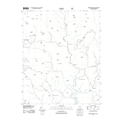 2011 Hightower Bald2011 Print · USGSThe Georgia-North Carolina border country comes alive in this study of the mountain headwaters near Tate City. Researchers can trace old settlement paths and high-country landmarks like Persimmon, Blalock, and the remote Plumorchard Gap Shelter.
 - 2011 Map of Nottely Dam, 2011 Print
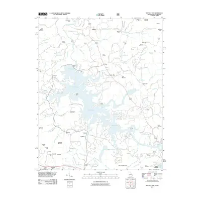 2011 Nottely Dam2011 Print · USGSThe Blue Ridge foothills meet the expansive shoreline of Nottely Lake in this 2011 survey of Union County. Genealogists can locate family landmarks like Bethlehem Cemetery, Tate Mill, and the settlement at Loudermilk Bend.
 - 2011 Map of Hiawassee, 2011 Print
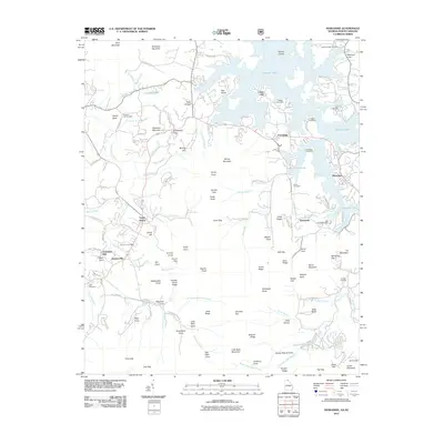 2011 Hiawassee2011 Print · USGSTowns County and the Blue Ridge foothills are captured here in the early twenty-first century as Chatuge Lake winds through the valley. Researchers can locate numerous family burial sites like Ledford Chapel Cemetery and traces of local industry at Townsend Mill and Mining Gap.
 - 2011 Map of Dillard, 2011 Print
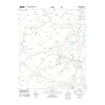 2011 Dillard2011 Print · USGSNorth Georgia’s mountain communities near the North Carolina border are shown here just after the turn of the millennium. Genealogists and historians can locate old industrial sites like Kilby Mill and Queen Mine or trace family roots at Germany Cemetery and McCurry Cemetery.
 - 2011 Map of Blairsville, 2011 Print
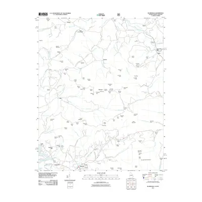 2011 Blairsville2011 Print · USGSThe Georgia and North Carolina borderlands come into focus in this early twenty-first-century survey of the Blue Ridge foothills. Genealogists and historians can trace family locations near Alexanders Mill, Henderson Cemetery, and the mountain crossroads of Blairsville.
 - 2011 Map of Macedonia, 2011 Print
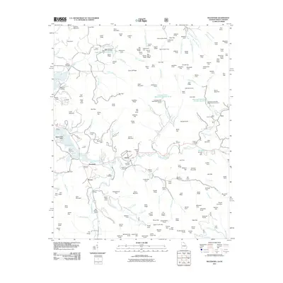 2011 Macedonia2011 Print · USGSThe Georgia-North Carolina borderlands come alive in this detailed record of the early twenty-first century. Genealogists can trace family footprints across Macedonia, Osborn, and numerous burial sites like Lower Hightower Cemetery and Boyd Chapel Cemetery.
 - 2011 Map of Andrews, 2011 Print
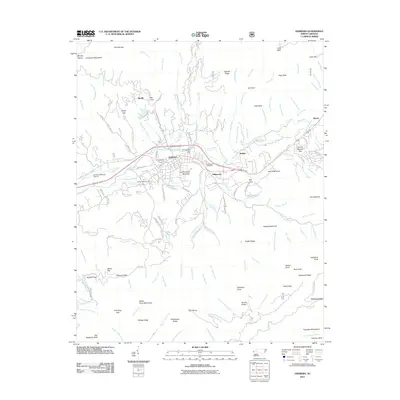 2011 Andrews2011 Print · USGSCherokee County settlement and mountain terrain are captured here in the early twenty-first century, centered on the Valley River corridor. Researchers can locate family landmarks such as Valleytown Cemetery, the Georgia State Prison Camp, and the Andrews-Murphy Airport.
 - 2011 Map of Hayesville, 2011 Print
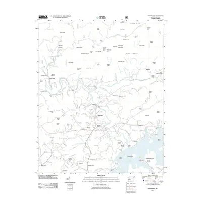 2011 Hayesville2011 Print · USGSHayesville and the Hiwassee River valley are captured here just after the first decade of the new millennium. Researchers can trace family history through local landmarks like Hayesville Cemetery, Myers Chapel, and the river crossing at Sanderson Bridge.
 - 2011 Map of Wayah Bald, 2011 Print
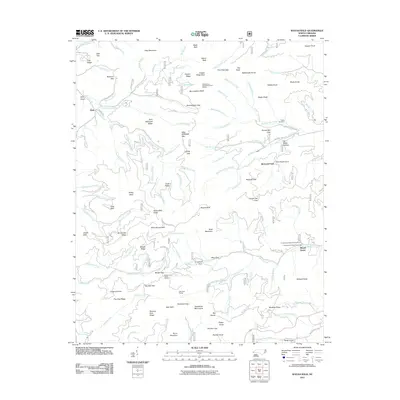 2011 Wayah Bald2011 Print · USGSThe high ridges of the Nantahala Mountains are captured here in the early twenty-first century, showing a landscape defined by mountain summits and forestry roads. Local historians can locate the Tippet Cemetery and the Wayah Depot among peaks like Wine Spring Bald.
 - 2011 Map of Shooting Creek, 2011 Print
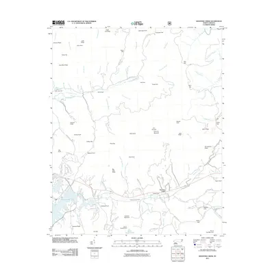 2011 Shooting Creek2011 Print · USGSClay County's southern highlands come into focus as the new millennium begins, showing the communities of Elf and Shooting Creek. Trace family land and local history near Galloway Hill Cemetery, Neal Cabe Lake, and the winding Elf School Rd.
 - 2011 Map of Peachtree, 2011 Print
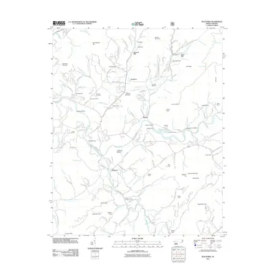 2011 Peachtree2011 Print · USGSIn the river valleys of western North Carolina, this era shows established settlements and family mills along the Hiwassee River. Researchers can locate historic family plots at Mc Guire Cemetery or trace the early industrial sites of Arrwood Mill and Jones Mill.
 - 2011 Map of Topton, 2011 Print
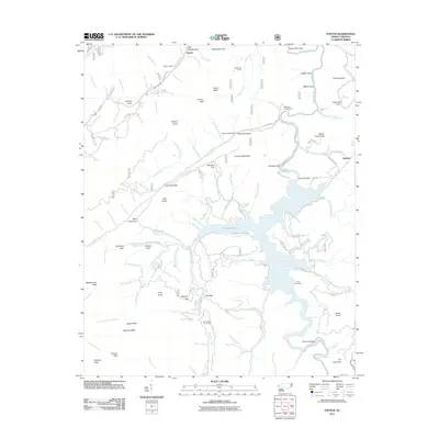 2011 Topton2011 Print · USGSThe Nantahala National Forest backcountry comes into focus during the early 2010s, centering on the high waters of Nantahala Lake and the village of Topton. Researchers can locate mountain landmarks like Red Marble Gap, the Nantahala Dam, and the riverside site of Aquone.
 - 2011 Map of Prentiss, 2011 Print
 2011 Prentiss2011 Print · USGSSouthern Macon County at the start of the 2010s reveals a mountain landscape defined by river-bottom industry and high-peak landmarks. Researchers can trace historic family burial sites at Rush Cemetery and local milling heritage at McClure Mill and Addington Mill.
 - 2011 Map of Rainbow Springs, 2011 Print
 2011 Rainbow Springs2011 Print · USGSThe Nantahala River corridor is captured here in the early 2000s, showing a landscape defined by high ridges and mountain gaps. Trace local landmarks like Rainbow Springs, Chunky Gal Mountain, and the Deep Gap Campground.
 - 2013 Map of Wayah Bald, 2013 Print
 2013 Wayah Bald2013 Print · USGSThe Nantahala Mountains come alive in this early 21st-century survey of the high-country peaks and gaps. Researchers can locate remote landmarks such as the Siler Bald Shelter, the settlement of Kyle, and historic family sites like Pol-Miller Hollow or Tom Bryan Cove.
 - 2013 Map of Topton, 2013 Print
 2013 Topton2013 Print · USGSThe high peaks and deep coves surrounding Nantahala Lake are captured here in the early twenty-first century. Researchers can trace historic mountain access points like Red Marble Gap and local settlements including Topton, Aquone, and Diamond Valley.
 - 2013 Map of Hayesville, 2013 Print
 2013 Hayesville2013 Print · USGSHayesville and the Hiwassee River valley are captured here during a period of established lakeside recreation and mountain living. Genealogists and local historians can trace family-named landmarks and old routes near Schoolhouse Hill, Shewbird, and Tusquitee.
 - 2013 Map of Rainbow Springs, 2013 Print
 2013 Rainbow Springs2013 Print · USGSThe Nantahala River headwaters come into focus in the early twenty-first century, showcasing a landscape defined by high ridges and wilderness shelters. Backcountry travelers and researchers can trace routes through Sassafras Gap and Deep Gap, or locate the Standing Indian Shelter and Muskrat Creek Shelter.
 - 2013 Map of Andrews, 2013 Print
 2013 Andrews2013 Print · USGSWestern North Carolina's mountain valleys are captured in the early twenty-first century, centered on the confluence of the Valley River and Junaluska Cr. Researchers can locate historic communities like Valleytown and Rhodo, or trace the rugged geography of Leatherwood Mountain and Collett Ridge.
 - 2013 Map of Prentiss, 2013 Print
 2013 Prentiss2013 Print · USGSThe southern Appalachian highlands are captured in detail here during the early twenty-first century, showing the intersection of mountain wilderness and rural valley life. Researchers can trace historic industry and recreation through the Albert Mountain Fire Tower and local landmarks like Addington Mill or Calvary Church.
 - 2013 Map of Shooting Creek, 2013 Print
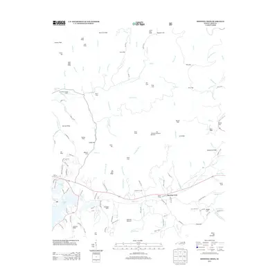 2013 Shooting Creek2013 Print · USGSThe community of Elf and the waters of Chatuge Lake sit at the heart of this North Carolina mountain landscape. Researchers can trace local landmarks like Kitchens Knob or find the namesake settlement of Shooting Creek along the winding creek valleys.
 - 2013 Map of Peachtree, 2013 Print
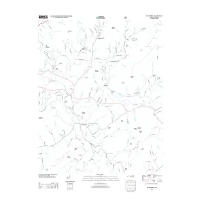 2013 Peachtree2013 Print · USGSBrasstown and the surrounding Cherokee County mountain coves are documented here in the early twenty-first century. Local researchers can trace family-named landmarks and old mill sites such as Arrowood Mill, Jones Mill, and Shallow Ford Bridge.
 - 2014 Map of Hiawassee, 2014 Print
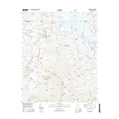 2014 Hiawassee2014 Print · USGSThe North Georgia mountains and the shores of Chatuge Lake appear in high detail during the early twenty-first century. Genealogists and local historians can trace family landmarks and burial sites like Townsend Mill, Old Union Cem, and Ledford Chapel Cem.
 - 2014 Map of Dillard, 2014 Print
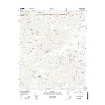 2014 Dillard2014 Print · USGSNear the Georgia-North Carolina line in the early twenty-first century, this area features the high mountain passes of the Blue Ridge. Researchers can find generational landmarks like Germany Cemetery, historic industry at Dickerson Mill, and the Rabun Gap Nacoochee School.
 - 2014 Map of Blairsville, 2014 Print
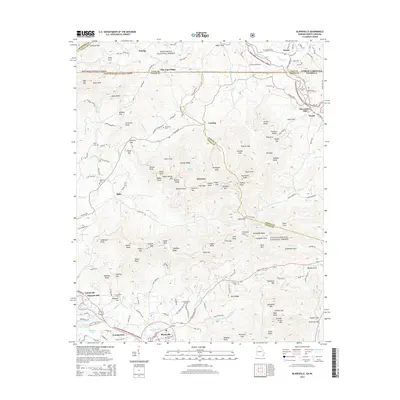 2014 Blairsville2014 Print · USGSThe North Georgia mountains and the North Carolina border meet here in the early twenty-first century. Genealogists and historians can trace family locations near Blairsville or locate burial sites at Zebulon Cemetery and Alexanders Mill.
Showing maps 1-25 of 70
Top cities of Clay County
Frequently asked questions
- What are the different types of historical maps available for Clay County?
- What is the oldest map of Clay County?
- Where can I purchase historical maps of Clay County for my home or office?
- Where can I download high-res historical maps of Clay County?
- Are there historical topographic maps available for Clay County?
- Is there historical aerial imagery available for Clay County?
- Where are historical maps of Clay County sourced from?