2000s (21st Century) Maps of Kings Mountain, North Carolina
Explore 21 historic maps of Kings Mountain from the 2000s (21st Century). These maps offer a rare glimpse into what life looked like during the 2000s — showing old roads, neighborhoods, homes, and landmarks that have changed or disappeared over time.
Whether you're researching your family's past, planning a metal detecting trip, or studying how Kings Mountain's landscape evolved across the 2000s, these high-resolution maps are a powerful tool for exploring the history of this region.
- Focus on a specific era: All maps on this page are from the 2000s, giving you a focused view of this time period.
- See what’s changed: Compare century-old streets, trails, and buildings to today's modern landscape using overlays and satellite layers.
- Research with precision: Use these maps for genealogy, historical research, land use analysis, or educational projects.
- View, download, or print: Maps are fully viewable online in high resolution, and can be downloaded or printed for your own records.
Start exploring Kings Mountain's history through authentic maps from the 2000s. This is your window into the past.
Kings Mountain, NC maps
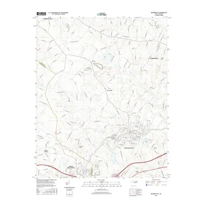
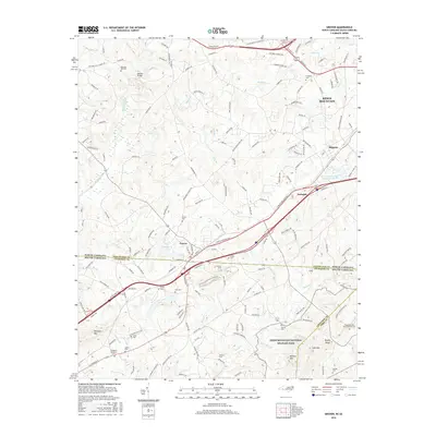
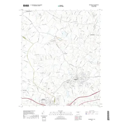
(21)- 2002 Map of Bessemer City, 2003 Print
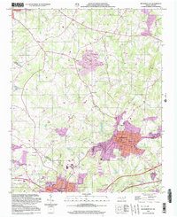 2002 Bessemer City2003 Print · USGSBessemer City and the industrial corridor of Gaston County are captured here at the turn of the millennium. Researchers can trace the footprint of active Mines and Tailings Ponds alongside landmarks like Ebenezer Ch and Chestnut Ridge.
 - 2010 Map of Waco, 2010 Print
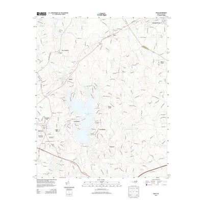
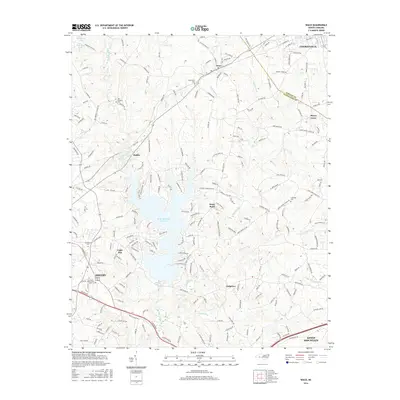
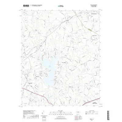
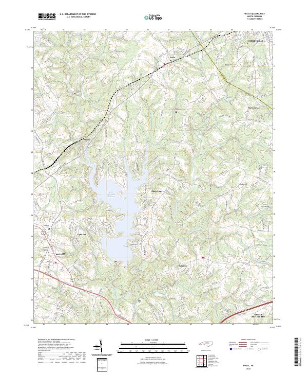
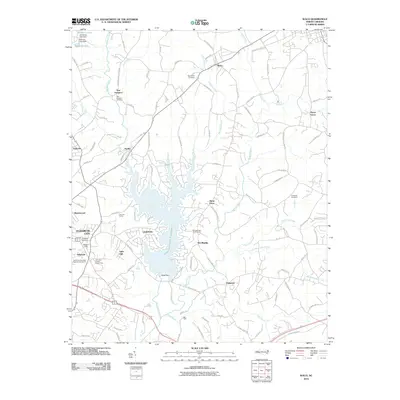 2010 Waco2010 Print · USGSCovers Kings Mountain, including Shelby, Cherryville, and other nearby areas
 - 2010 Map of Bessemer City, 2010 Print
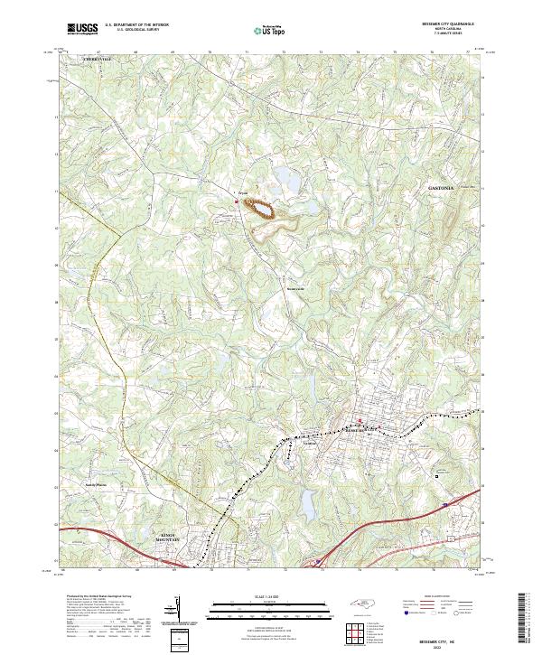
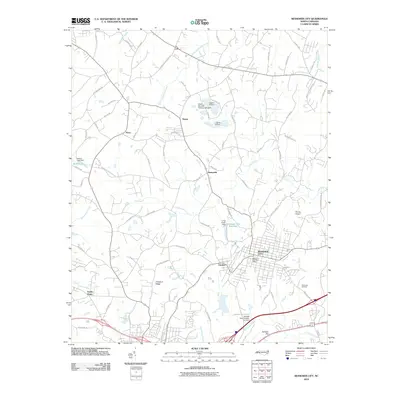 2010 Bessemer City2010 Print · USGSCovers Kings Mountain, including Gastonia, Cherryville, and other nearby areas
 - 2011 Map of Grover, 2011 Print
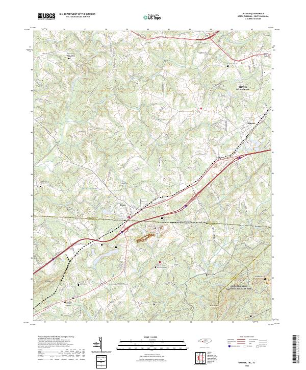
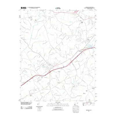 2011 Grover2011 Print · USGSCovers Kings Mountain, including Grover, Archdale, and other nearby areas
 - 2011 Map of Kings Mountain, 2011 Print
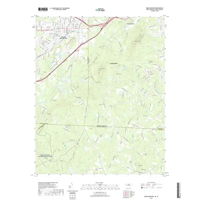
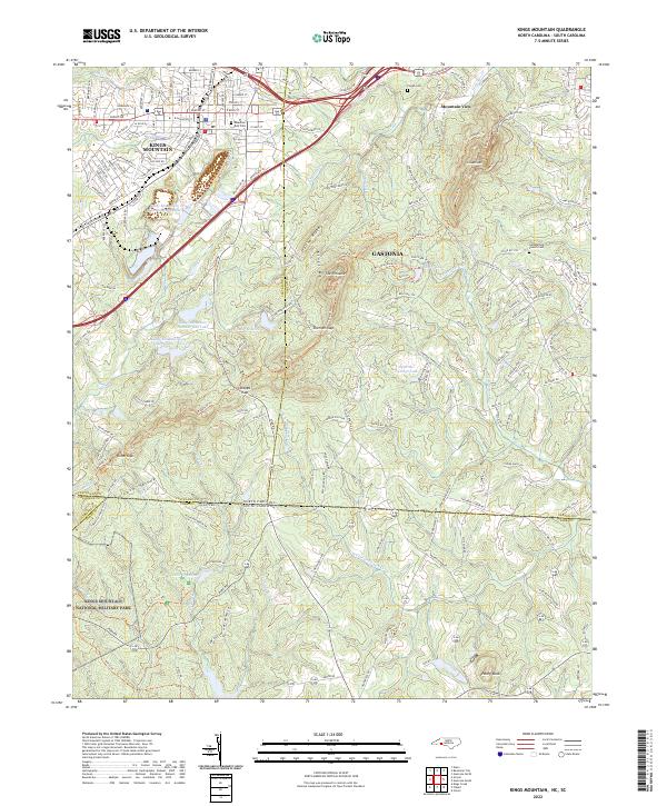
 2011 Kings Mountain2011 Print · USGSCovers Kings Mountain, including Gastonia, Mountain View, and other nearby areas
 - 2013 Map of Grover, 2013 Print
 2013 Grover2013 Print · USGSCovers Kings Mountain, including Grover, Archdale, and other nearby areas
 - 2013 Map of Bessemer City, 2013 Print
 2013 Bessemer City2013 Print · USGSCovers Kings Mountain, including Gastonia, Cherryville, and other nearby areas
 - 2013 Map of Kings Mountain, 2013 Print
 2013 Kings Mountain2013 Print · USGSCovers Kings Mountain, including Gastonia, Mountain View, and other nearby areas
 - 2013 Map of Waco, 2013 Print
 2013 Waco2013 Print · USGSCovers Kings Mountain, including Shelby, Cherryville, and other nearby areas
 - 2016 Map of Bessemer City, 2016 Print
 2016 Bessemer City2016 Print · USGSCovers Kings Mountain, including Gastonia, Cherryville, and other nearby areas
 - 2016 Map of Waco, 2016 Print
 2016 Waco2016 Print · USGSCovers Kings Mountain, including Shelby, Cherryville, and other nearby areas
 - 2016 Map of Kings Mountain, 2016 Print
 2016 Kings Mountain2016 Print · USGSCovers Kings Mountain, including Gastonia, Mountain View, and other nearby areas
 - 2016 Map of Grover, 2016 Print
 2016 Grover2016 Print · USGSCovers Kings Mountain, including Grover, Archdale, and other nearby areas
 - 2019 Map of Waco, 2019 Print
 2019 Waco2019 Print · USGSCovers Kings Mountain, including Shelby, Cherryville, and other nearby areas
 - 2019 Map of Kings Mountain, 2019 Print
 2019 Kings Mountain2019 Print · USGSCovers Kings Mountain, including Gastonia, Mountain View, and other nearby areas
 - 2019 Map of Grover, 2019 Print
 2019 Grover2019 Print · USGSCovers Kings Mountain, including Grover, Archdale, and other nearby areas
 - 2019 Map of Bessemer City, 2019 Print
 2019 Bessemer City2019 Print · USGSCovers Kings Mountain, including Gastonia, Cherryville, and other nearby areas
 - 2022 Map of Bessemer City, 2022 Print
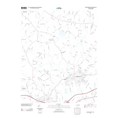
 2022 Bessemer City2022 Print · USGSBessemer City and its neighbors in Gaston and Cleveland Counties are captured here during a period of modern regional growth. Researchers can trace the boundaries of Bessemer City and Kings Mountain, or locate sites like Westview Gardens Cem and Tryon.
 - 2022 Map of Grover, 2022 Print
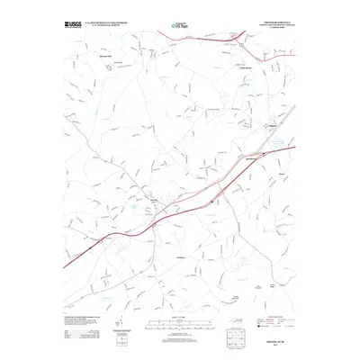
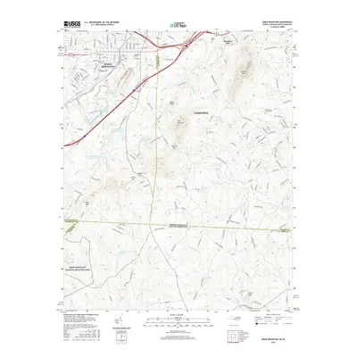
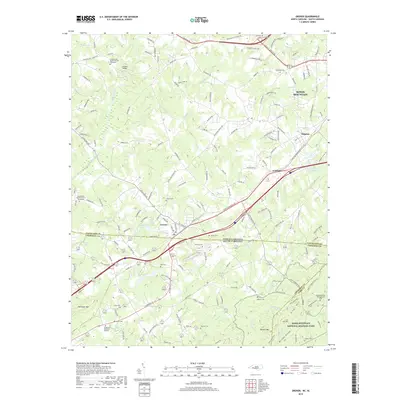
 2022 Grover2022 Print · USGSThe borderlands of North and South Carolina are captured here in the early 2020s, centered on the historic town of Grover. Researchers can find an incredible density of burial sites including Clingman Memorial Gardens and the Kings Mountain Battlefield Cem.
 - 2022 Map of Kings Mountain, 2022 Print
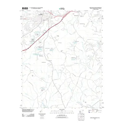
 2022 Kings Mountain2022 Print · USGSThe borderlands of Cleveland and York counties come alive in this survey of the peaks and valleys surrounding the Revolutionary War site. Researchers can trace family sites near Mountain Rest Cem, the waters of Lake Montonia, and the heights of The Pinnacle.
 - 2022 Map of Waco, 2022 Print
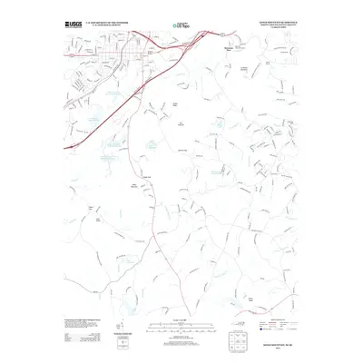
 2022 Waco2022 Print · USGSIn the early 2020s, the landscape around Cleveland and Gaston counties reflects a blend of residential growth and rural heritage. Genealogists can trace local landmarks like New Prospect Cem, Hullender Cem, and the communities of Stubbs and Stony Point.
End of results
Showing maps 1-21 of 21
Top cities near Kings Mountain
- Gastonia historical maps
- Shelby historical maps
- Gaffney historical maps
- Lincolnton historical maps
- York historical maps
- Cherryville historical maps
See more
Frequently asked questions
- What are the different types of historical maps available for Kings Mountain?
- What is the oldest map of Kings Mountain?
- Where can I purchase historical maps of Kings Mountain for my home or office?
- Where can I download high-res historical maps of Kings Mountain?
- Are there historical topographic maps available for Kings Mountain?
- Is there historical aerial imagery available for Kings Mountain?
- Where are historical maps of Kings Mountain sourced from?