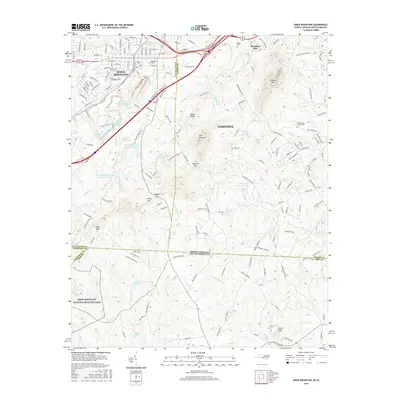
2016 Map of Kings Mountain
USGS Topo · Published 2016About this map
Kings Mtn and the prominent ridges of The Pinnacle and Yellow Ridge define this borderland landscape between North and South Carolina. In the southwest corner, the Kings Mountain National Military Park preserves a significant Revolutionary War site, while the surrounding area shows a 21st-century mix of industry and recreation. Water management is a dominant feature, with industrial and municipal footprints visible at the Foote Mineral Tailings Pond and Kings Mountain City Lake Number Two.
Find a feature on this map
167 named features on this map. Tap any name to fly to it.
Don’t see what you’re looking for? This feature index may not catch every label — zoom into the map to look around manually.
Map Details
Editions of this 2016 Kings Mountain Map
This is the sole edition of this map. No revisions or reprints were ever made.
Other maps of this area

1906 · Kings Mountain
USGS Topo · 1:62,500

1908 · Kings Mountain
USGS Topo · 1:62,500

1909 · Lincolnton
USGS Topo · 1:62,500

1911 · Lincolnton
USGS Topo · 1:62,500

1914 · Gastonia
USGS Topo · 1:48,000

1916 · Gastonia
USGS Topo · 1:62,500

1947 · Clover
USGS Topo · 1:62,500

1949 · Clover
USGS Topo · 1:62,500

1953 · Charlotte
USGS Topo · 1:250,000

1954 · Charlotte
USGS Topo · 1:250,000