Old Maps of Redbug, North Carolina for Genealogy
Trace your family roots with 11 historic maps of Redbug. These high-res maps reveal old neighborhoods, homesites, landmarks, and streets — helping you uncover where your ancestors lived and how the area evolved over time.
- Explore historic neighborhoods: Identify where your relatives may have lived in the 1800s or 1900s.
- Compare maps over time: Trace the changes in streets, buildings, and landmarks for multi-generational research.
- Perfect for genealogy & ancestry research: Used by family historians and researchers to map out lineage and migration.
These maps are an incredible resource for exploring your personal connection to Redbug's past.
Redbug, NC maps
(11)- 1953 Map of Florence, 1964 Print
 1953 Florence1964 Print · USGSThe Carolina borderlands in the mid-fifties were a landscape of vast river swamps and rising rail towns. Trace the legacy of the Seaboard Air Line through Florence or explore the wetlands surrounding Lake Waccamaw and the Green Swamp.3 unique versions available
 - 1954 Map of Florence
 1954 Florence1954 Print · USGSThe Carolinas borderlands come alive in the early fifties, showing the vital rail-and-river networks of the coastal plain. Genealogists can trace family footprints across the Green Swamp or through settlements like Red Springs, Chadbourn, and McColl.
 - 1955 Map of Whiteville
 1955 Whiteville1955 Print · USGSColumbus County and the town of Whiteville are shown here in the mid-fifties, dominated by timber-rich swamps and the railroads that serviced them. Researchers can trace the layout of Porterville, Wananish, and rural landmarks like Richardson Millpond.2 unique versions available
 - 1986 Map of Whiteville
 1986 Whiteville1986 Print · USGSSoutheastern North Carolina and the South Carolina borderlands are captured here in the mid-1980s as a landscape of vast swamps and rail towns. Researchers can trace historic rail routes through Chadbourn, locate the namesake Lake Waccamaw, and explore family-named sites like Peacocks.
 - 1987 Map of Lake Waccamaw West
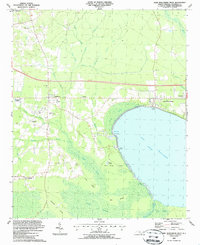 1987 Lake Waccamaw West1987 Print · USGSCoastal plains and deep swamps define Columbus County in the late eighties, where the railroad corridor links small communities above the waterline. Trace family history at Hallsboro High Sch, Pierce Cem, or Mount Olive Ch near the banks of Lake Waccamaw.
 - 1990 Map of Whiteville
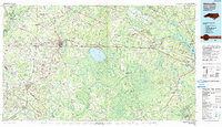 1990 Whiteville1990 Print · USGSSoutheastern North Carolina and the South Carolina borderlands appear in the late twentieth century, showing a landscape of river-swamps and tobacco towns. Researchers can trace family history through sites like Mount Olive Ch, the Seaboard Coast Line RR, and rural centers like Tabor City.
 - 2010 Map of Lake Waccamaw West, 2010 Print
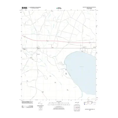 2010 Lake Waccamaw West2010 Print · USGSThe western shores of Lake Waccamaw are captured here in the early twenty-first century, showing a landscape defined by the great Bogue Swamp. Genealogists and historians can locate the Hallsboro Post Office, trace the lineage of Batten Cemetery, and explore the rail-line hamlets of Artesia and Wananish.
 - 2013 Map of Lake Waccamaw West, 2013 Print
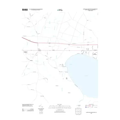 2013 Lake Waccamaw West2013 Print · USGSLake Waccamaw and its surrounding wetlands are captured here in the early twenty-first century as the region balanced conservation with local community growth. Genealogists and researchers can trace local landmarks from Hallsboro and Wananish down to Dupree Landing and Betsy Burgh Island.
 - 2016 Map of Lake Waccamaw West, 2016 Print
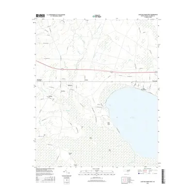 2016 Lake Waccamaw West2016 Print · USGSCoastal plains and deep wetlands meet at the edge of the lake in the mid-2010s. Local researchers can locate family burial sites at Sibbitt Cem and Pierce Cem, or trace the old rail and road alignments through Hallsboro and Wananish.
 - 2019 Map of Lake Waccamaw West, 2019 Print
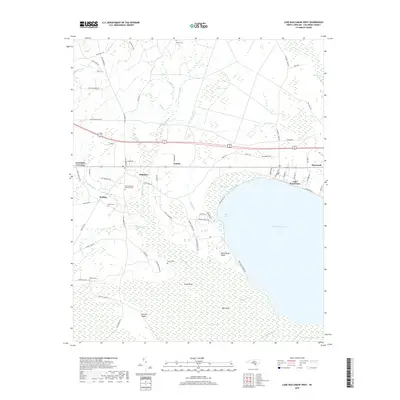 2019 Lake Waccamaw West2019 Print · USGSLake Waccamaw and the railroad corridor of Columbus County are captured here during the late twenty-tens. Researchers can locate family landmarks like Batten Cem and Sibbitt Cem or trace the settlements of Hallsboro and Artesia.
 - 2022 Map of Lake Waccamaw West, 2022 Print
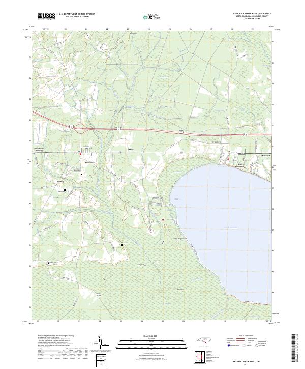 2022 Lake Waccamaw West2022 Print · USGSColumbus County's lakeside settlements and swampy lowlands are captured here in the early 2020s. Researchers can trace family history through sites like Pierce Cem or locate old community hubs at Hallsboro, Redbug, and Wananish.
End of results
Showing maps 1-11 of 11
Top cities near Redbug
- Whiteville historical maps
- Tabor City historical maps
- Chadbourn historical maps
- Bladenboro historical maps
- Lake Waccamaw historical maps
- Clarkton historical maps
See more
Frequently asked questions
- What are the different types of historical maps available for Redbug?
- What is the oldest map of Redbug?
- Where can I purchase historical maps of Redbug for my home or office?
- Where can I download high-res historical maps of Redbug?
- Are there historical topographic maps available for Redbug?
- Is there historical aerial imagery available for Redbug?
- Where are historical maps of Redbug sourced from?