2000s (21st Century) Maps of Havelock, North Carolina
Explore 20 historic maps of Havelock from the 2000s (21st Century). These maps offer a rare glimpse into what life looked like during the 2000s — showing old roads, neighborhoods, homes, and landmarks that have changed or disappeared over time.
Whether you're researching your family's past, planning a metal detecting trip, or studying how Havelock's landscape evolved across the 2000s, these high-resolution maps are a powerful tool for exploring the history of this region.
- Focus on a specific era: All maps on this page are from the 2000s, giving you a focused view of this time period.
- See what’s changed: Compare century-old streets, trails, and buildings to today's modern landscape using overlays and satellite layers.
- Research with precision: Use these maps for genealogy, historical research, land use analysis, or educational projects.
- View, download, or print: Maps are fully viewable online in high resolution, and can be downloaded or printed for your own records.
Start exploring Havelock's history through authentic maps from the 2000s. This is your window into the past.
Havelock, NC maps
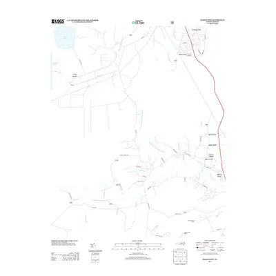
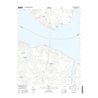
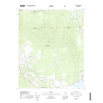
(20)- 2011 Map of Havelock, 2011 Print
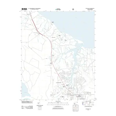 2011 Havelock2011 Print · USGSCovers Havelock, including New Bern, Carolina Pines, and other nearby areas
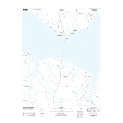
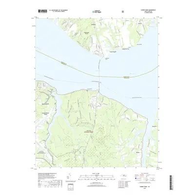
 - 2011 Map of Cherry Point, 2011 Print
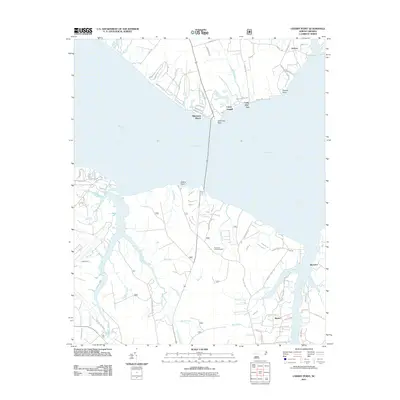 2011 Cherry Point2011 Print · USGSCovers Havelock, including Minnesott Beach, Arapahoe, and other nearby areas
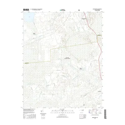
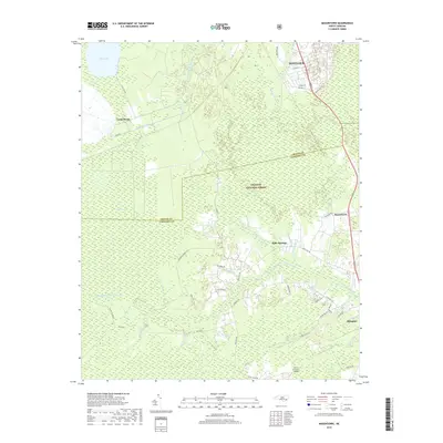
 - 2011 Map of Masontown, 2011 Print
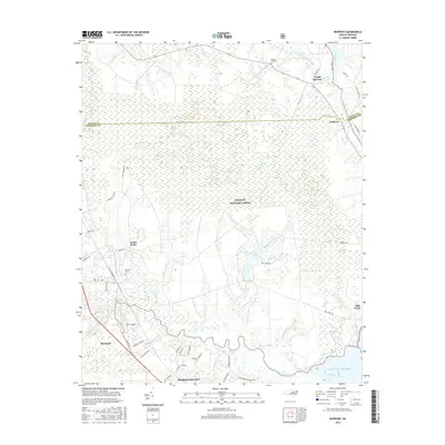
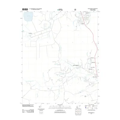 2011 Masontown2011 Print · USGSCovers Havelock, including Newport, Bay Woods, and other nearby areas
 - 2011 Map of Newport, 2011 Print
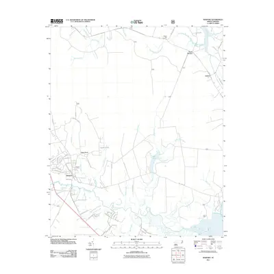 2011 Newport2011 Print · USGSCovers Havelock, including Newport, Union Point, and other nearby areas
 - 2013 Map of Masontown, 2013 Print
 2013 Masontown2013 Print · USGSCovers Havelock, including Newport, Bay Woods, and other nearby areas
 - 2013 Map of Havelock, 2013 Print
 2013 Havelock2013 Print · USGSCovers Havelock, including New Bern, Carolina Pines, and other nearby areas
 - 2013 Map of Newport, 2013 Print
 2013 Newport2013 Print · USGSCovers Havelock, including Newport, Union Point, and other nearby areas
 - 2013 Map of Cherry Point, 2013 Print
 2013 Cherry Point2013 Print · USGSCovers Havelock, including Minnesott Beach, Arapahoe, and other nearby areas
 - 2016 Map of Cherry Point, 2016 Print
 2016 Cherry Point2016 Print · USGSCovers Havelock, including Minnesott Beach, Arapahoe, and other nearby areas
 - 2016 Map of Masontown, 2016 Print
 2016 Masontown2016 Print · USGSCovers Havelock, including Newport, Bay Woods, and other nearby areas
 - 2016 Map of Newport, 2016 Print
 2016 Newport2016 Print · USGSCovers Havelock, including Newport, Union Point, and other nearby areas
 - 2016 Map of Havelock, 2016 Print
 2016 Havelock2016 Print · USGSCovers Havelock, including New Bern, Carolina Pines, and other nearby areas
 - 2019 Map of Newport, 2019 Print
 2019 Newport2019 Print · USGSCovers Havelock, including Newport, Union Point, and other nearby areas
 - 2019 Map of Cherry Point, 2019 Print
 2019 Cherry Point2019 Print · USGSCovers Havelock, including Minnesott Beach, Arapahoe, and other nearby areas
 - 2019 Map of Havelock, 2019 Print
 2019 Havelock2019 Print · USGSCovers Havelock, including New Bern, Carolina Pines, and other nearby areas
 - 2019 Map of Masontown, 2019 Print
 2019 Masontown2019 Print · USGSCovers Havelock, including Newport, Bay Woods, and other nearby areas
 - 2022 Map of Masontown, 2022 Print
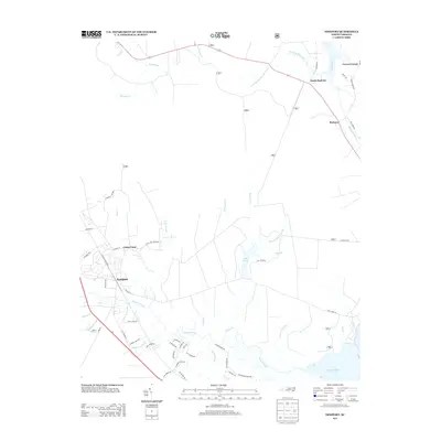
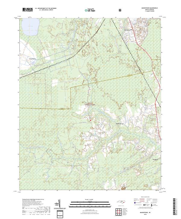 2022 Masontown2022 Print · USGSThe coastal wetlands and managed forests between Havelock and Newport are documented here in the early 2020s. Genealogists and local historians can trace the rural tracts along Bell-Farm Rd, the edges of Croatan National Forest, and landmarks like Circle P Farm Airport.
 - 2022 Map of Havelock, 2022 Print
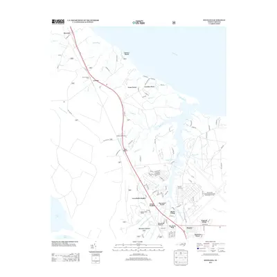
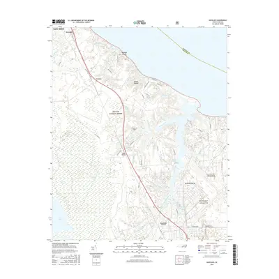
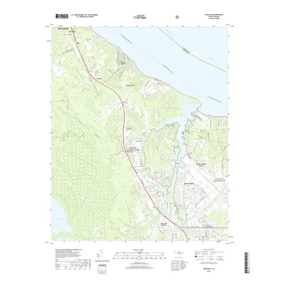
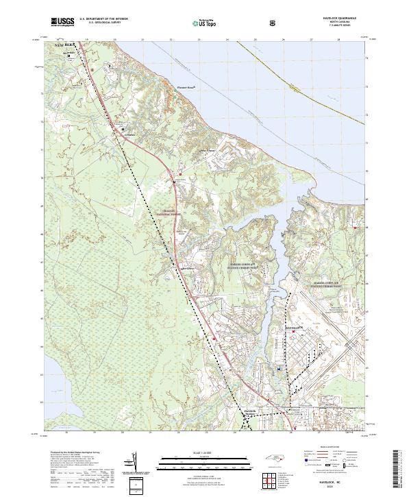 2022 Havelock2022 Print · USGSCoastal North Carolina at the modern era shows the massive footprint of the Marine Corps Air Station and the protected Croatan National Forest. Local researchers can trace family sites like the Rowe Family Cem or find the Havelock Station rail corridor.
 - 2022 Map of Newport, 2022 Print
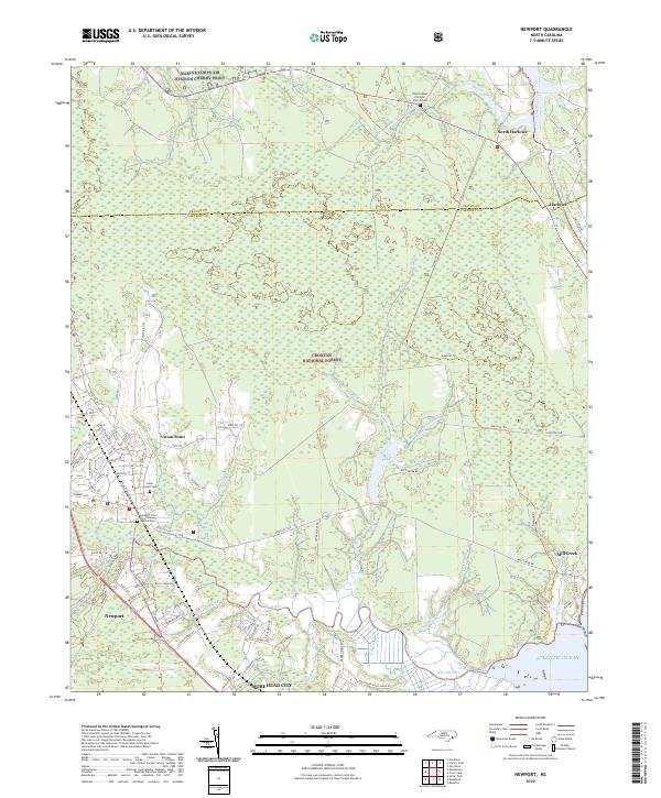 2022 Newport2022 Print · USGSThe coastal wetlands of Carteret and Craven Counties are captured here in the early 2020s, showing the intersection of military and maritime life. Trace family roots at Cedar Grove Cem or follow the historic Harlowe Canal toward the Atlantic Ocean.
 - 2022 Map of Cherry Point, 2022 Print
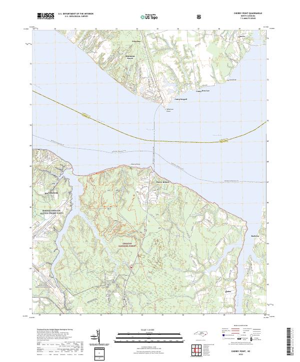 2022 Cherry Point2022 Print · USGSThe Craven County coastline and its military legacy are in clear focus during the early 2020s. Researchers can trace the massive footprint of Marine Corps Air Station Cherry Point or explore the trails of the Croatan National Forest.
End of results
Showing maps 1-20 of 20
Top cities near Havelock
- New Bern historical maps
- Morehead City historical maps
- James City historical maps
- Newport historical maps
- Trent Woods historical maps
- Emerald Isle historical maps
See more
Top neighborhoods of Havelock
- Slocum Village historical maps
- Wolf Creek historical maps
- College Park historical maps
- Manteo historical maps
- Jerrett Estates historical maps
- Havelock Station historical maps
See more
Frequently asked questions
- What are the different types of historical maps available for Havelock?
- What is the oldest map of Havelock?
- Where can I purchase historical maps of Havelock for my home or office?
- Where can I download high-res historical maps of Havelock?
- Are there historical topographic maps available for Havelock?
- Is there historical aerial imagery available for Havelock?
- Where are historical maps of Havelock sourced from?