2000s (21st Century) Maps of Davidson County, North Carolina
Explore 87 historic maps of Davidson County from the 2000s (21st Century). These maps offer a rare glimpse into what life looked like during the 2000s — showing old roads, neighborhoods, homes, and landmarks that have changed or disappeared over time.
Whether you're researching your family's past, planning a metal detecting trip, or studying how Davidson County's landscape evolved across the 2000s, these high-resolution maps are a powerful tool for exploring the history of this region.
- Focus on a specific era: All maps on this page are from the 2000s, giving you a focused view of this time period.
- See what’s changed: Compare century-old streets, trails, and buildings to today's modern landscape using overlays and satellite layers.
- Research with precision: Use these maps for genealogy, historical research, land use analysis, or educational projects.
- View, download, or print: Maps are fully viewable online in high resolution, and can be downloaded or printed for your own records.
Start exploring Davidson County's history through authentic maps from the 2000s. This is your window into the past.
Davidson County, NC maps
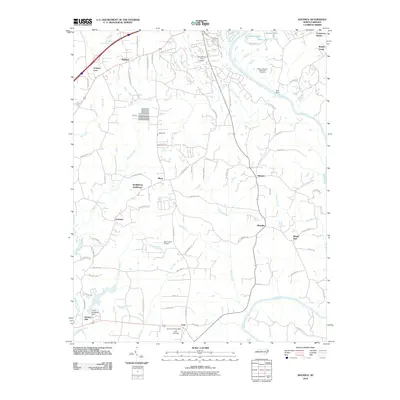
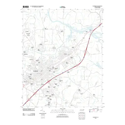
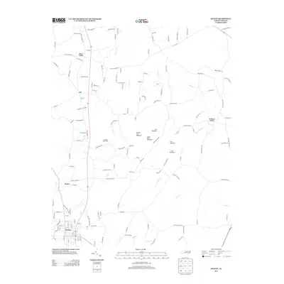
(87)- 2000 Map of Midway, 2003 Print
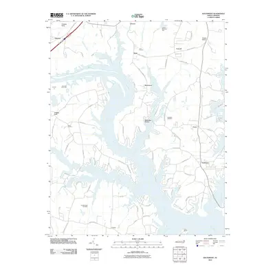
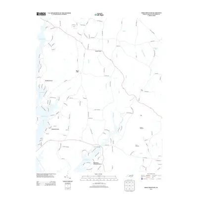
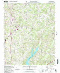 2000 Midway2003 Print · USGSMidway and the surrounding Davidson County countryside are captured at the turn of the millennium as modern water projects changed the landscape. Genealogists and local historians can trace family roots through Hebron Ch Cem, Bethlehem Ch, and the communities of Gum Tree and Pilot.
 - 2000 Map of Churchland, 2003 Print
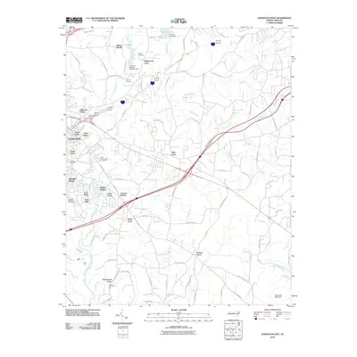
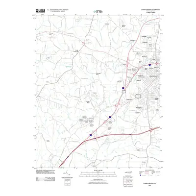
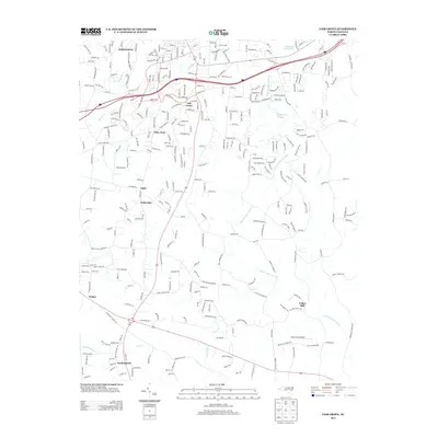
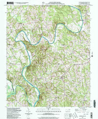 2000 Churchland2003 Print · USGSThe rural riverfront of Davidson County comes to life on this map at the turn of the millennium. Genealogists and historians can trace family locations near Churchland and Tyro, or locate rural landmarks like Yadkin Star Ch Cem and St Johns Sch.
 - 2010 Map of Churchland, 2010 Print
 2010 Churchland2010 Print · USGSCovers Davidson County, including Jubilee, Petersville, and other nearby areas
 - 2010 Map of Fair Grove, 2010 Print
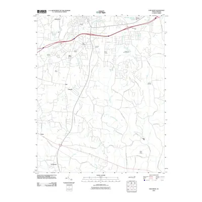 2010 Fair Grove2010 Print · USGSCovers Davidson County, including Thomasville, Trinity, and other nearby areas
 - 2010 Map of Advance, 2010 Print
 2010 Advance2010 Print · USGSCovers Davidson County, including Clemmons, Bermuda Run, and other nearby areas
 - 2010 Map of Lexington East, 2010 Print
 2010 Lexington East2010 Print · USGSCovers Davidson County, including Thomasville, Lexington, and other nearby areas
 - 2010 Map of Welcome, 2010 Print
 2010 Welcome2010 Print · USGSCovers Davidson County, including Winston-Salem, Welcome, and other nearby areas
 - 2010 Map of High Point West, 2010 Print
 2010 High Point West2010 Print · USGSCovers Davidson County, including High Point, Thomasville, and other nearby areas
 - 2010 Map of Salisbury, 2010 Print
 2010 Salisbury2010 Print · USGSCovers Davidson County, including Salisbury, Spencer, and other nearby areas
 - 2010 Map of Denton, 2010 Print
 2010 Denton2010 Print · USGSCovers Davidson County, including Denton, Cid, and other nearby areas
 - 2010 Map of Kernersville, 2010 Print
 2010 Kernersville2010 Print · USGSCovers Davidson County, including Greensboro, Winston-Salem, and other nearby areas
 - 2010 Map of Winston-Salem East, 2010 Print
 2010 Winston-Salem East2010 Print · USGSCovers Davidson County, including Winston-Salem, Kernersville, and other nearby areas
 - 2010 Map of Southmont, 2010 Print
 2010 Southmont2010 Print · USGSCovers Davidson County, including Feezor, Foxcroff, and other nearby areas
 - 2010 Map of Lexington West, 2010 Print
 2010 Lexington West2010 Print · USGSCovers Davidson County, including Lexington, Tyro, and other nearby areas
 - 2011 Map of High Rock, 2011 Print
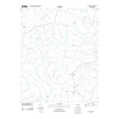
 2011 High Rock2011 Print · USGSCovers Davidson County, including Denton, High Rock, and other nearby areas
 - 2011 Map of Handy, 2011 Print
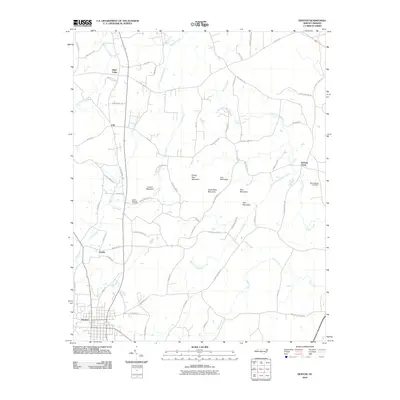
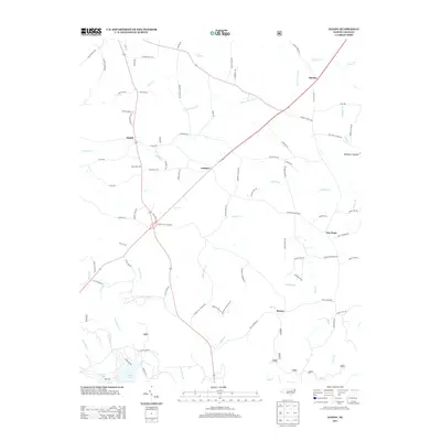
 2011 Handy2011 Print · USGSCovers Davidson County, including Denton, Martha, and other nearby areas
 - 2011 Map of Grist Mountain, 2011 Print
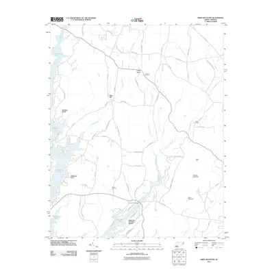 2011 Grist Mountain2011 Print · USGSCovers Davidson County, including Denton, Cedar Grove, and other nearby areas
 - 2011 Map of Gold Hill, 2011 Print
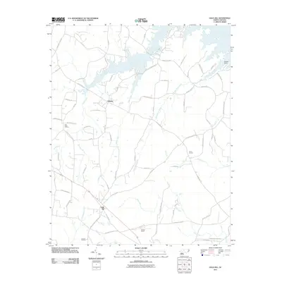 2011 Gold Hill2011 Print · USGSCovers Davidson County, including Gold Hill, Liberty, and other nearby areas
 - 2011 Map of Midway, 2011 Print
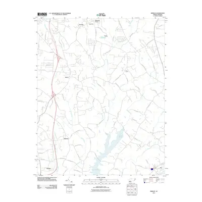 2011 Midway2011 Print · USGSCovers Davidson County, including Winston-Salem, Thomasville, and other nearby areas
 - 2013 Map of Handy, 2013 Print
 2013 Handy2013 Print · USGSCovers Davidson County, including Denton, Martha, and other nearby areas
 - 2013 Map of Denton, 2013 Print
 2013 Denton2013 Print · USGSCovers Davidson County, including Denton, Cid, and other nearby areas
 - 2013 Map of Fair Grove, 2013 Print
 2013 Fair Grove2013 Print · USGSCovers Davidson County, including Thomasville, Trinity, and other nearby areas
 - 2013 Map of Winston-Salem East, 2013 Print
 2013 Winston-Salem East2013 Print · USGSCovers Davidson County, including Winston-Salem, Kernersville, and other nearby areas
 - 2013 Map of Kernersville, 2013 Print
 2013 Kernersville2013 Print · USGSCovers Davidson County, including Greensboro, Winston-Salem, and other nearby areas
 - 2013 Map of Grist Mountain, 2013 Print
 2013 Grist Mountain2013 Print · USGSCovers Davidson County, including Denton, Cedar Grove, and other nearby areas
Showing maps 1-25 of 87
Top cities of Davidson County
- Thomasville historical maps
- Lexington historical maps
- Midway historical maps
- Welcome historical maps
- Tyro historical maps
- Wallburg historical maps
See more
Frequently asked questions
- What are the different types of historical maps available for Davidson County?
- What is the oldest map of Davidson County?
- Where can I purchase historical maps of Davidson County for my home or office?
- Where can I download high-res historical maps of Davidson County?
- Are there historical topographic maps available for Davidson County?
- Is there historical aerial imagery available for Davidson County?
- Where are historical maps of Davidson County sourced from?