2000s (21st Century) Maps of Fort Liberty, North Carolina
Explore 42 historic maps of Fort Liberty from the 2000s (21st Century). These maps offer a rare glimpse into what life looked like during the 2000s — showing old roads, neighborhoods, homes, and landmarks that have changed or disappeared over time.
Whether you're researching your family's past, planning a metal detecting trip, or studying how Fort Liberty's landscape evolved across the 2000s, these high-resolution maps are a powerful tool for exploring the history of this region.
- Focus on a specific era: All maps on this page are from the 2000s, giving you a focused view of this time period.
- See what’s changed: Compare century-old streets, trails, and buildings to today's modern landscape using overlays and satellite layers.
- Research with precision: Use these maps for genealogy, historical research, land use analysis, or educational projects.
- View, download, or print: Maps are fully viewable online in high resolution, and can be downloaded or printed for your own records.
Start exploring Fort Liberty's history through authentic maps from the 2000s. This is your window into the past.
Fort Liberty, NC maps
(42)- 2002 Map of Pinebluff
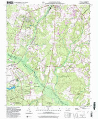 2002 Pinebluff2002 Print · USGSMoore County at the start of the millennium shows a fascinating mix of established town life and large-scale military landscapes. Researchers can trace local heritage at Poplar Springs Church, identify the rail-side Ice Loading Platform, or locate family sites near Silver Springs.
 - 2010 Map of Pinebluff, 2010 Print
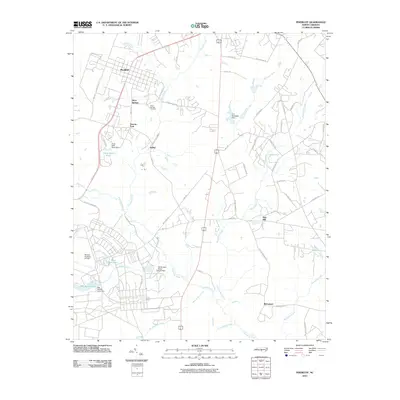 2010 Pinebluff2010 Print · USGSPinebluff and its neighboring settlements are shown in the early twenty-first century amidst a network of reservoirs and creeks. Genealogists can locate Silver Springs Cemetery, while researchers can trace the bounds of Mackall Auxiliary Airfield and the community of Addor.
 - 2013 Map of Olivia, 2013 Print
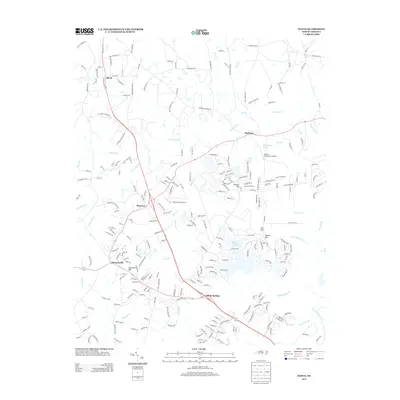 2013 Olivia2013 Print · USGSHarnett County enters the 21st century as a mix of traditional crossroads and newer residential growth around Buffalo Lakes. Genealogists and local historians can trace family-named routes and landmarks near Spout Springs, Barbecue Church, and Cameron Hill.
 - 2013 Map of Pinebluff, 2013 Print
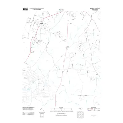 2013 Pinebluff2013 Print · USGSMoore County in the early 2010s shows a unique mix of small-town residency and significant military infrastructure. You can trace family locations near Silver Springs and Lincoln Park or explore the tactical layout of the Mackall Army Airfield.
 - 2013 Map of Niagara, 2013 Print
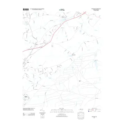 2013 Niagara2013 Print · USGSThe Southern Pines area in the early 2010s shows a complex network of small settlements and inland waterways. Genealogists and local historians can trace the development around Niagara, Vass, and Lakeview, or locate landmarks like Railroad Ridge and Crystal Lake.
 - 2013 Map of Lobelia, 2013 Print
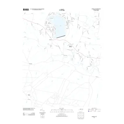 2013 Lobelia2013 Print · USGSMoore County at the start of the twenty-first century shows a landscape where lakeside developments meet traditional rural settlements. Genealogists and local historians can trace family-named roads and community landmarks like Lobelia, Mount Pleasant, and the Morrison Bridge.
 - 2013 Map of Nicholson Creek, 2013 Print
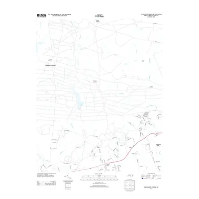 2013 Nicholson Creek2013 Print · USGSHoke and Moore Counties at the start of the decade show a mix of quiet rural crossroads and developing residential corridors. Researchers can find old stream crossings like Black Ford and Puppy Creek Ford or trace the early growth of Wayside and Johnsons Mill.
 - 2013 Map of Overhills, 2013 Print
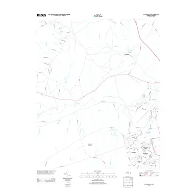 2013 Overhills2013 Print · USGSCumberland County’s military and rural landscapes intersect in the early twenty-first century near the Little River. Researchers can trace the development of Pope Air Force Base alongside uniquely named settlements like Saint Mere Eglise, Nijmegen, and Overhills.
 - 2013 Map of McCain, 2013 Print
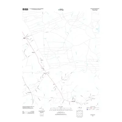 2013 McCain2013 Print · USGSHoke County's rural landscape is captured here in the early twenty-first century, showing the small communities and complex creek systems that define the area. Genealogists and local historians can trace family-named sites like Sandstone Hill, Montrose, and Pooles Siding.
 - 2013 Map of Clifdale, 2013 Print
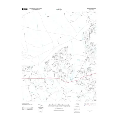 2013 Clifdale2013 Print · USGSCumberland County’s western fringes are shown here in the early twenty-first century as suburban expansion reaches into the Sandhills. Researchers can trace modern property lines and local landmarks across Clifdale, Bones Ford, and the waters of Lake Rim.
 - 2013 Map of Fayetteville, 2013 Print
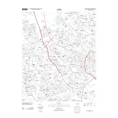 2013 Fayetteville2013 Print · USGSFayetteville was a bustling hub of modern residential expansion in the early 2010s. Researchers can trace the exact boundaries of established neighborhoods like Cottonade and Bizza Ridge or locate local landmarks like Bonnie Doone Lake and the Massey Hill Athletic Field.
 - 2013 Map of Manchester, 2013 Print
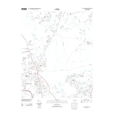 2013 Manchester2013 Print · USGSFayetteville area military and residential growth is on display in this survey from the early 2010s. Trace the unique WWII-themed neighborhood clusters like Normandy Heights and Anzio Acres surrounding the Simmons Army Airfield.
 - 2016 Map of Nicholson Creek, 2016 Print
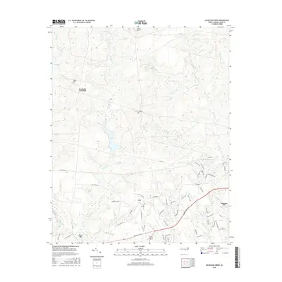 2016 Nicholson Creek2016 Print · USGSThe Hoke County countryside in the mid-2010s shows a landscape of traditional crossroads and newer aviation landmarks. Researchers can trace rural development around Campbells Crossroad and P K Airpark or follow the waters of Mott Lake.
 - 2016 Map of Olivia, 2016 Print
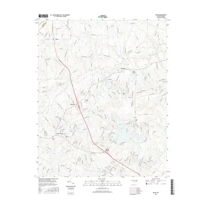 2016 Olivia2016 Print · USGSHarnett County and the Lee County border appear in the mid-2010s as a region of growing settlements interspersed with vast wetlands and pine-country creeks. Researchers can trace family sites at Old Church Cem or locate community landmarks like Barbecue and the Buffalo Lakes shoreline.
 - 2016 Map of Lobelia, 2016 Print
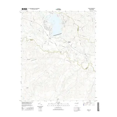 2016 Lobelia2016 Print · USGSMoore and Hoke Counties are captured in the mid-2010s, showcasing a landscape of residential lakeside living and traditional rural settlements. Researchers can trace local landmarks like Morrison Bridge, the community of Lobelia, and the varied terrain around Johnson Mtn.
 - 2016 Map of McCain, 2016 Print
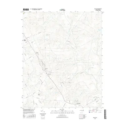 2016 McCain2016 Print · USGSHoke County in the mid-2010s reveals a landscape defined by its creek systems and small residential clusters. Researchers can trace the layout of Ashley Heights, locate the Viking Airport, and explore the headwaters of Rockfish Cr.
 - 2016 Map of Overhills, 2016 Print
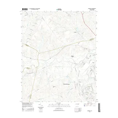 2016 Overhills2016 Print · USGSThe northern edge of Fayetteville and the military grounds of Fort Bragg are captured here during a period of significant regional growth. Genealogists and historians can trace the landscape around Overhills, Pope Army Airfield, and the distinctive heights of Coolyconch Mtn.
 - 2016 Map of Pinebluff, 2016 Print
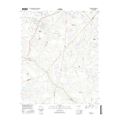 2016 Pinebluff2016 Print · USGSThe North Carolina Sandhills come to life in this detailed study of the Moore County borderlands during the mid-2010s. Researchers can trace local lineage near Silver Springs Cem or explore the military footprint at Mackall Army Airfield and Fort Bragg.
 - 2016 Map of Clifdale, 2016 Print
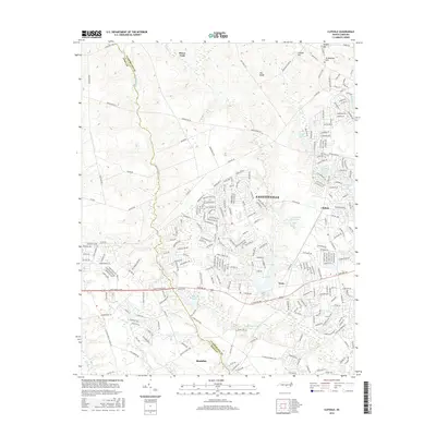 2016 Clifdale2016 Print · USGSThe western edges of Fayetteville and the Sandhills come alive in this mid-2010s portrait of Cumberland and Hoke Counties. Local historians and genealogists can trace the development near Clifdale, Bones Ford, and the waters of Lake Rim and Hutaff Lake.
 - 2016 Map of Niagara, 2016 Print
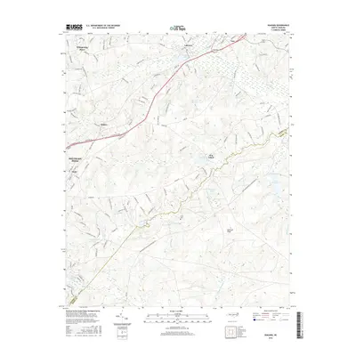 2016 Niagara2016 Print · USGSSouthern Pines and the surrounding Sandhills area are shown in detail during the mid-2010s, highlighting the region's dense network of lakes and rail corridors. Researchers can trace the layout of Whispering Pines, locate the Goins Cem, and explore landmarks like Hog Island and Railroad Ridge.
 - 2016 Map of Manchester, 2016 Print
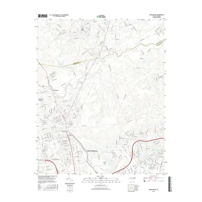 2016 Manchester2016 Print · USGSNorthern Cumberland County and the Little River are captured here during the mid-2010s. Researchers can locate military sites like Simmons Army Airfield alongside local landmarks like Methodist University and the Sandhills State Veterans Cem.
 - 2016 Map of Fayetteville, 2016 Print
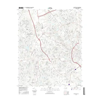 2016 Fayetteville2016 Print · USGSMid-century suburban growth and established neighborhoods define the Fayetteville area in the early twenty-first century. Researchers can trace local landmarks and community centers ranging from Fayetteville State University to the Lafayette Memorial Cemetery.
 - 2019 Map of Fayetteville, 2019 Print
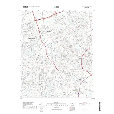 2019 Fayetteville2019 Print · USGSFayetteville and its neighboring suburbs in Cumberland County are shown here during a period of significant residential and commercial maturity. Genealogists and local researchers can trace the neighborhoods of Bonnie Doone, Skibo, and Lakedale alongside local landmarks like Lafayette Memorial Cemetery.
 - 2019 Map of Lobelia, 2019 Print
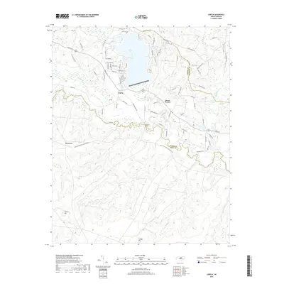 2019 Lobelia2019 Print · USGSMoore County in the late twenty-teens is a landscape of expansive lakefront developments and quiet rural stretches along the Little River. Genealogists and local historians can trace family-named landmarks like Gaddys Mtn or find the historic river crossing at Morrison Bridge.
 - 2019 Map of Niagara, 2019 Print
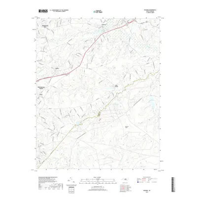 2019 Niagara2019 Print · USGSMoore and Hoke counties meet in this 2019 survey, showing the Sandhills region before the massive integration of modern infrastructure. Researchers can trace the boundaries of Fort Bragg and locate local landmarks like Goins Cemetery or Lake McArthur.
Showing maps 1-25 of 42
Top cities near Fort Liberty
- Fayetteville historical maps
- Linden Oaks historical maps
- Southern Pines historical maps
- Hope Mills historical maps
- Spring Lake historical maps
- Aberdeen historical maps
See more
Top neighborhoods of Fort Liberty
- Biazza Ridge historical maps
- Ardennes/Bataan historical maps
- Hammond Hills historical maps
- Saint Mere Eglise historical maps
- Hammond Hills historical maps
- Overhills historical maps
See more
Frequently asked questions
- What are the different types of historical maps available for Fort Liberty?
- What is the oldest map of Fort Liberty?
- Where can I purchase historical maps of Fort Liberty for my home or office?
- Where can I download high-res historical maps of Fort Liberty?
- Are there historical topographic maps available for Fort Liberty?
- Is there historical aerial imagery available for Fort Liberty?
- Where are historical maps of Fort Liberty sourced from?