Old Maps of Eason Crossroads, North Carolina for Hiking & Exploration
Hike through history with 12 historic maps of Eason Crossroads. Explore old trails, ghost towns, and forgotten backroads — perfect for outdoor adventurers and local explorers.
- Rediscover forgotten places: Map out old mining camps, roads, and footpaths that no longer exist on modern maps.
- Layer with modern tools: Combine with LiDAR or satellite views to plan hikes through historical terrain.
- Made for exploration: Popular among hikers, overlanders, and local history lovers.
Use these maps to find adventure and explore the hidden past of Eason Crossroads.
Eason Crossroads, NC maps
(12)- 1906 Map of Beckford
 1906 Beckford1906 Print · USGSCoastal North Carolina at the turn of the century reveals a world of swamp-based industry and riverine commerce. Trace family roots and old landmarks across the landscape from the wharves at Taylor Wharf to crossroads like Wiggins Crossroads and the mills at Merchants Mill Pond.
 - 1907 Map of Beckford
 1907 Beckford1907 Print · USGSNortheastern North Carolina was a landscape of deep swamps and river commerce in the early 1900s. Genealogists can trace family landmarks at Merchants Mill, find rural congregations like Joppa Church, or follow the steam routes past Holidays Island.2 unique versions available
 - 1940 Map of Beckford
 1940 Beckford1940 Print · USGSNortheastern North Carolina in the early 1940s was a land of timbered swamps and essential river crossings. Genealogists and historians can trace old homesteads and transport hubs near Cannon Ferry, Merchants Millpond, and the Beckford Junction rail crossing.2 unique versions available
 - 1953 Map of Norfolk, 1954 Print
 1953 Norfolk1954 Print · USGSCoastal Virginia and northeastern North Carolina appear here during the post-war industrial boom, showing the critical rail-and-sea connections of Hampton Roads. Genealogists can trace family roots through rural landmarks like Gethsemane Ch, the Caledonia State Prison Farm, and the vast interior of the Dismal Swamp.4 unique versions available
 - 1981 Map of Merchants Millpond
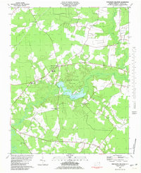 1981 Merchants Millpond1981 Print · USGSCoastal North Carolina wetlands and rural crossroads define this Gates County landscape in the early eighties. Researchers can trace family sites and community hubs from Gatesville to Easons Crossroads, including local landmarks like Sycamore Hill Ch and the County High Sch.
 - 1985 Map of Elizabeth City
 1985 Elizabeth City1985 Print · USGSCoastal North Carolina's rivers and sounds define the landscape of the mid-eighties, from the vast swamps to the historical waterfronts of Elizabeth City and Edenton. Researchers can trace the rail lines of the Southern Ry or locate landmarks like Beaver Hill Cem and South Mills.2 unique versions available
 - 1997 Map of Merchants Millpond, 2000 Print
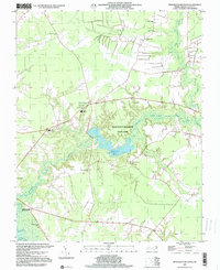 1997 Merchants Millpond2000 Print · USGSCoastal plain wetlands and rural crossroads define this corner of Gates County during the late twentieth century. Genealogists and local historians can locate several family-named landmarks and old country churches like Lebanon Grove Ch and New Middle Swamp Ch near Easons Crossroads.
 - 2011 Map of Merchants Millpond, 2011 Print
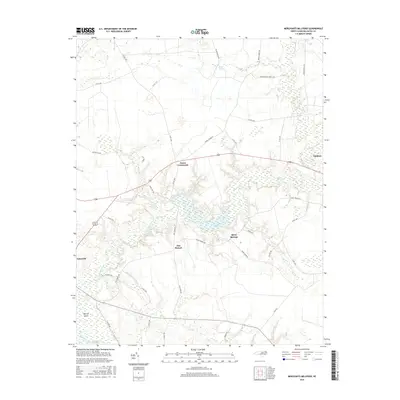
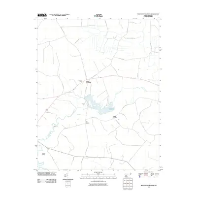 2011 Merchants Millpond2011 Print · USGSCovers Eason Crossroads, including Sunbury, Gatesville, and other nearby areas
 - 2013 Map of Merchants Millpond, 2013 Print
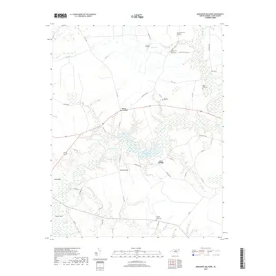
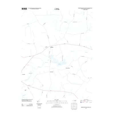 2013 Merchants Millpond2013 Print · USGSCovers Eason Crossroads, including Sunbury, Gatesville, and other nearby areas
 - 2016 Map of Merchants Millpond, 2016 Print
 2016 Merchants Millpond2016 Print · USGSCovers Eason Crossroads, including Sunbury, Gatesville, and other nearby areas
 - 2019 Map of Merchants Millpond, 2019 Print
 2019 Merchants Millpond2019 Print · USGSCovers Eason Crossroads, including Sunbury, Gatesville, and other nearby areas
 - 2022 Map of Merchants Millpond, 2022 Print
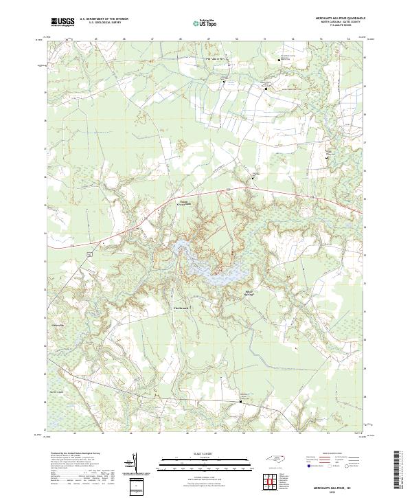 2022 Merchants Millpond2022 Print · USGSGates County's swampy lowlands and rural crossroads are meticulously documented in this contemporary survey. Researchers can trace family history at the Samuel Harrell Family Cem or explore landmarks like Merchants Millpond and Gatesville.
End of results
Showing maps 1-12 of 12
Top cities near Eason Crossroads
- Winton historical maps
- Cofield historical maps
- Sunbury historical maps
- Gatesville historical maps
- Powellsville historical maps
- Harrellsville historical maps
Frequently asked questions
- What are the different types of historical maps available for Eason Crossroads?
- What is the oldest map of Eason Crossroads?
- Where can I purchase historical maps of Eason Crossroads for my home or office?
- Where can I download high-res historical maps of Eason Crossroads?
- Are there historical topographic maps available for Eason Crossroads?
- Is there historical aerial imagery available for Eason Crossroads?
- Where are historical maps of Eason Crossroads sourced from?