1900s (20th Century) Maps of Granville County, North Carolina
Explore 41 historic maps of Granville County from the 1900s (20th Century). These maps offer a rare glimpse into what life looked like during the 1900s — showing old roads, neighborhoods, homes, and landmarks that have changed or disappeared over time.
Whether you're researching your family's past, planning a metal detecting trip, or studying how Granville County's landscape evolved across the 1900s, these high-resolution maps are a powerful tool for exploring the history of this region.
- Focus on a specific era: All maps on this page are from the 1900s, giving you a focused view of this time period.
- See what’s changed: Compare century-old streets, trails, and buildings to today's modern landscape using overlays and satellite layers.
- Research with precision: Use these maps for genealogy, historical research, land use analysis, or educational projects.
- View, download, or print: Maps are fully viewable online in high resolution, and can be downloaded or printed for your own records.
Start exploring Granville County's history through authentic maps from the 1900s. This is your window into the past.
Granville County, NC maps
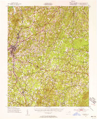
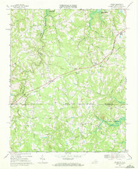
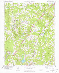
(41)- 1941 Map of Clarksville
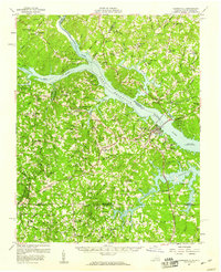
 1941 Clarksville1941 Print · USGSCovers Granville County, including Clarksville, Buffalo Junction, and other nearby areas
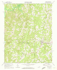
 - 1943 Map of Clarksville
 1943 Clarksville1943 Print · USGSCovers Granville County, including Clarksville, Buffalo Junction, and other nearby areas2 unique versions available
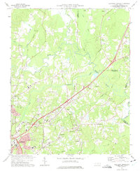
 - 1943 Map of Roxboro, 1956 Print
 1943 Roxboro1956 Print · USGSCovers Granville County, including Roxboro, Moriah, and other nearby areas2 unique versions available
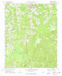
 - 1943 Map of Creedmoor, 1957 Print
 1943 Creedmoor1957 Print · USGSCovers Granville County, including Wake Forest, Butner, and other nearby areas2 unique versions available
 - 1944 Map of Creedmoor
 1944 Creedmoor1944 Print · USGSCovers Granville County, including Wake Forest, Butner, and other nearby areas
 - 1951 Map of Durham North, 1953 Print
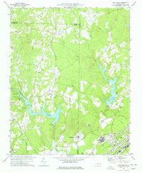
 1951 Durham North1953 Print · USGSCovers Granville County, including Durham, Butner, and other nearby areas3 unique versions available
 - 1953 Map of Oxford
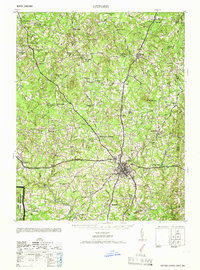
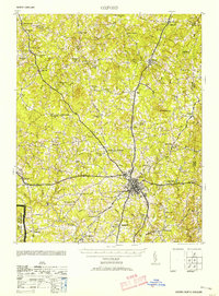 1953 Oxford1953 Print · USGSCovers Granville County, including Oxford, Stovall, and other nearby areas2 unique versions available
 - 1953 Map of South Boston, 1955 Print
 1953 South Boston1955 Print · USGSCovers Granville County, including South Boston, Halifax, and other nearby areas2 unique versions available
 - 1953 Map of Greensboro, 1981 Print
 1953 Greensboro1981 Print · USGSCovers Granville County, including Greensboro, Durham, and other nearby areas
 - 1954 Map of Greensboro
 1954 Greensboro1954 Print · USGSCovers Granville County, including Greensboro, Durham, and other nearby areas
 - 1955 Map of Boydton, 1957 Print
 1955 Boydton1957 Print · USGSCovers Granville County, including Boydton, Baskerville, and other nearby areas2 unique versions available
 - 1957 Map of South Boston, 1958 Print
 1957 South Boston1958 Print · USGSCovers Granville County, including South Boston, Halifax, and other nearby areas3 unique versions available
 - 1957 Map of Clarksville, 1959 Print
 1957 Clarksville1959 Print · USGSCovers Granville County, including Clarksville, Buffalo Junction, and other nearby areas2 unique versions available
 - 1962 Map of Greensboro
 1962 Greensboro1962 Print · USGSCovers Granville County, including Greensboro, Durham, and other nearby areas
 - 1966 Map of Greensboro
 1966 Greensboro1966 Print · USGSCovers Granville County, including Greensboro, Durham, and other nearby areas
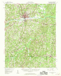
 - 1966 Map of Oxford
 1966 Oxford1966 Print · USGSCovers Granville County, including Oxford, Stovall, and other nearby areas
 - 1968 Map of Tungsten, 1972 Print
 1968 Tungsten1972 Print · USGSCovers Granville County, including Richardson, Woodworth, and other nearby areas2 unique versions available
 - 1968 Map of Clarksville South, 1972 Print
 1968 Clarksville South1972 Print · USGSCovers Granville County, including Clarksville, Soudan, and other nearby areas3 unique versions available
 - 1968 Map of Nelson, 1972 Print
 1968 Nelson1972 Print · USGSCovers Granville County, including Buffalo Junction, Siddon, and other nearby areas3 unique versions available
 - 1968 Map of Virgilina, 1972 Print
 1968 Virgilina1972 Print · USGSCovers Granville County, including Virgilina, Shady Grove, and other nearby areas3 unique versions available
 - 1973 Map of Northeast Durham, 1975 Print
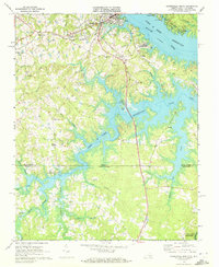
 1973 Northeast Durham1975 Print · USGSCovers Granville County, including Durham, Butner, and other nearby areas4 unique versions available
 - 1974 Map of Creedmoor, 1977 Print
 1974 Creedmoor1977 Print · USGSCovers Granville County, including Butner, Creedmoor, and other nearby areas6 unique versions available
 - 1974 Map of Stem, 1977 Print
 1974 Stem1977 Print · USGSCovers Granville County, including Butner, Creedmoor, and other nearby areas2 unique versions available
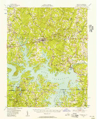
 - 1977 Map of Lake Michie
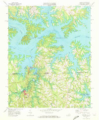
 1977 Lake Michie1977 Print · USGSCovers Granville County, including Durham, Butner, and other nearby areas2 unique versions available
 - 1977 Map of Tungsten, 1978 Print
 1977 Tungsten1978 Print · USGSCovers Granville County, including Richardson, Woodworth, and other nearby areas
Showing maps 1-25 of 41
Top cities of Granville County
- Oxford historical maps
- Butner historical maps
- Creedmoor historical maps
- Stovall historical maps
- Stem historical maps
Frequently asked questions
- What are the different types of historical maps available for Granville County?
- What is the oldest map of Granville County?
- Where can I purchase historical maps of Granville County for my home or office?
- Where can I download high-res historical maps of Granville County?
- Are there historical topographic maps available for Granville County?
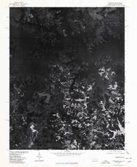
- Is there historical aerial imagery available for Granville County?
- Where are historical maps of Granville County sourced from?