Old Maps of Granville County, North Carolina for Academic Research
Study the evolution of Granville County with 58 high-resolution historic maps. Whether you're teaching, researching, or modeling changes in land use, these maps provide essential visual documentation of urban, environmental, and geographic change.
- Analyze long-term change: Track patterns in development, transportation, and natural features.
- Ideal for environmental or urban studies: Support academic projects with primary historical map data.
- Use in the classroom or lab: Educators and researchers rely on these maps to bring historical context to life.
These maps are a powerful tool for teaching, research, and visualizing how Granville County has changed over the decades.
Granville County, NC maps
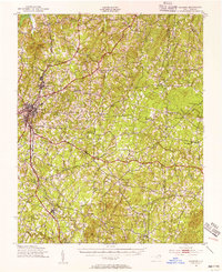
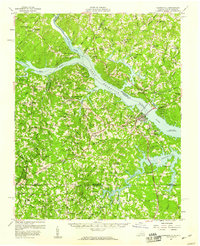
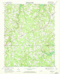
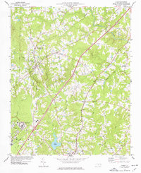
(58)- 1941 Map of Clarksville
 1941 Clarksville1941 Print · USGSCovers Granville County, including Clarksville, Buffalo Junction, and other nearby areas
 - 1943 Map of Clarksville
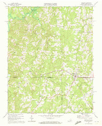
 1943 Clarksville1943 Print · USGSCovers Granville County, including Clarksville, Buffalo Junction, and other nearby areas2 unique versions available
 - 1943 Map of Roxboro, 1956 Print
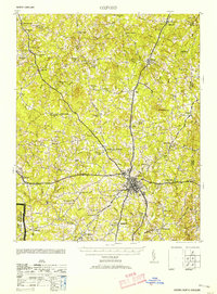
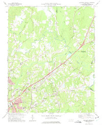
 1943 Roxboro1956 Print · USGSCovers Granville County, including Roxboro, Moriah, and other nearby areas2 unique versions available
 - 1943 Map of Creedmoor, 1957 Print
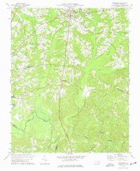
 1943 Creedmoor1957 Print · USGSCovers Granville County, including Wake Forest, Butner, and other nearby areas2 unique versions available
 - 1944 Map of Creedmoor
 1944 Creedmoor1944 Print · USGSCovers Granville County, including Wake Forest, Butner, and other nearby areas
 - 1951 Map of Durham North, 1953 Print
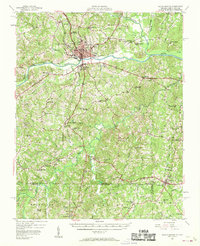
 1951 Durham North1953 Print · USGSCovers Granville County, including Durham, Butner, and other nearby areas3 unique versions available
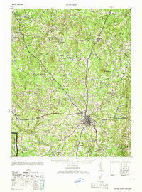
 - 1953 Map of Oxford
 1953 Oxford1953 Print · USGSCovers Granville County, including Oxford, Stovall, and other nearby areas2 unique versions available
 - 1953 Map of South Boston, 1955 Print
 1953 South Boston1955 Print · USGSCovers Granville County, including South Boston, Halifax, and other nearby areas2 unique versions available
 - 1953 Map of Greensboro, 1981 Print
 1953 Greensboro1981 Print · USGSCovers Granville County, including Greensboro, Durham, and other nearby areas
 - 1954 Map of Greensboro
 1954 Greensboro1954 Print · USGSCovers Granville County, including Greensboro, Durham, and other nearby areas
 - 1955 Map of Boydton, 1957 Print
 1955 Boydton1957 Print · USGSCovers Granville County, including Boydton, Baskerville, and other nearby areas2 unique versions available
 - 1957 Map of South Boston, 1958 Print
 1957 South Boston1958 Print · USGSCovers Granville County, including South Boston, Halifax, and other nearby areas3 unique versions available
 - 1957 Map of Clarksville, 1959 Print
 1957 Clarksville1959 Print · USGSCovers Granville County, including Clarksville, Buffalo Junction, and other nearby areas2 unique versions available
 - 1962 Map of Greensboro
 1962 Greensboro1962 Print · USGSCovers Granville County, including Greensboro, Durham, and other nearby areas
 - 1966 Map of Greensboro
 1966 Greensboro1966 Print · USGSCovers Granville County, including Greensboro, Durham, and other nearby areas
 - 1966 Map of Oxford
 1966 Oxford1966 Print · USGSCovers Granville County, including Oxford, Stovall, and other nearby areas
 - 1968 Map of Tungsten, 1972 Print
 1968 Tungsten1972 Print · USGSCovers Granville County, including Richardson, Woodworth, and other nearby areas2 unique versions available
 - 1968 Map of Clarksville South, 1972 Print
 1968 Clarksville South1972 Print · USGSCovers Granville County, including Clarksville, Soudan, and other nearby areas3 unique versions available
 - 1968 Map of Nelson, 1972 Print
 1968 Nelson1972 Print · USGSCovers Granville County, including Buffalo Junction, Siddon, and other nearby areas3 unique versions available
 - 1968 Map of Virgilina, 1972 Print
 1968 Virgilina1972 Print · USGSCovers Granville County, including Virgilina, Shady Grove, and other nearby areas3 unique versions available
 - 1973 Map of Northeast Durham, 1975 Print
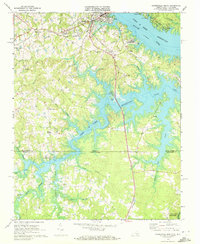
 1973 Northeast Durham1975 Print · USGSCovers Granville County, including Durham, Butner, and other nearby areas4 unique versions available
 - 1974 Map of Creedmoor, 1977 Print
 1974 Creedmoor1977 Print · USGSCovers Granville County, including Butner, Creedmoor, and other nearby areas6 unique versions available
 - 1974 Map of Stem, 1977 Print
 1974 Stem1977 Print · USGSCovers Granville County, including Butner, Creedmoor, and other nearby areas2 unique versions available
 - 1977 Map of Lake Michie
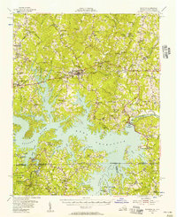
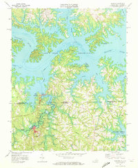
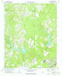 1977 Lake Michie1977 Print · USGSCovers Granville County, including Durham, Butner, and other nearby areas2 unique versions available
 - 1977 Map of Tungsten, 1978 Print
 1977 Tungsten1978 Print · USGSCovers Granville County, including Richardson, Woodworth, and other nearby areas
Showing maps 1-25 of 58
Top cities of Granville County
- Oxford historical maps
- Butner historical maps
- Creedmoor historical maps
- Stovall historical maps
- Stem historical maps
Frequently asked questions
- What are the different types of historical maps available for Granville County?
- What is the oldest map of Granville County?
- Where can I purchase historical maps of Granville County for my home or office?
- Where can I download high-res historical maps of Granville County?
- Are there historical topographic maps available for Granville County?
- Is there historical aerial imagery available for Granville County?
- Where are historical maps of Granville County sourced from?