Old Maps of Ashley Heights, North Carolina for Academic Research
Study the evolution of Ashley Heights with 21 high-resolution historic maps. Whether you're teaching, researching, or modeling changes in land use, these maps provide essential visual documentation of urban, environmental, and geographic change.
- Analyze long-term change: Track patterns in development, transportation, and natural features.
- Ideal for environmental or urban studies: Support academic projects with primary historical map data.
- Use in the classroom or lab: Educators and researchers rely on these maps to bring historical context to life.
These maps are a powerful tool for teaching, research, and visualizing how Ashley Heights has changed over the decades.
Ashley Heights, NC maps
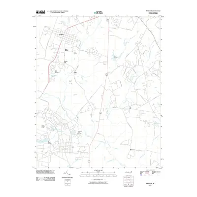
(21)- 1948 Map of Southern Pines, 1954 Print
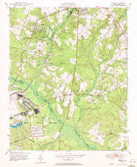
 1948 Southern Pines1954 Print · USGSThe North Carolina Sandhills were a hub of transit and military expansion just after the war. This survey allows researchers to trace family landmarks like St Mathews Ch and Taylor Town or map the early footprints of Fort Bragg and Camp Mackall.
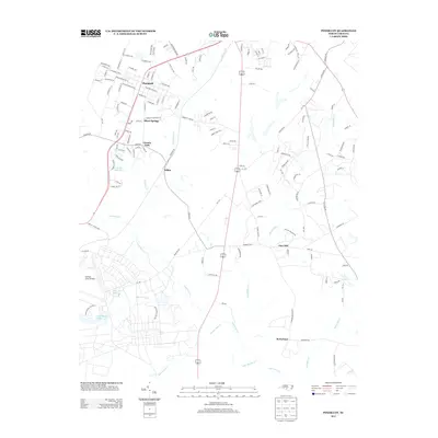
 - 1948 Map of Pinebluff, 1972 Print
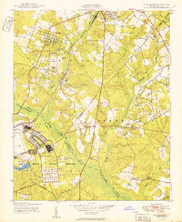
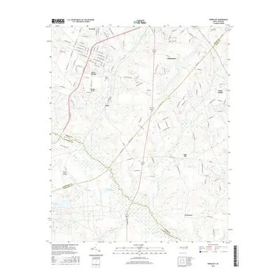
 1948 Pinebluff1972 Print · USGSThe Sand Hills of Moore and Richmond counties are shown here just after the war, where military expansions met rural North Carolina life. Genealogists and researchers can trace the Seaboard Air Line through Addor, find family roots at Silver Springs Cemetery, and locate the old McFarland Sch.3 unique versions available
 - 1948 Map of Mc Cain, 1984 Print
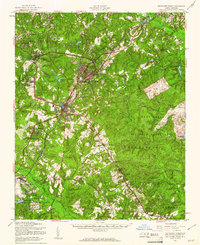
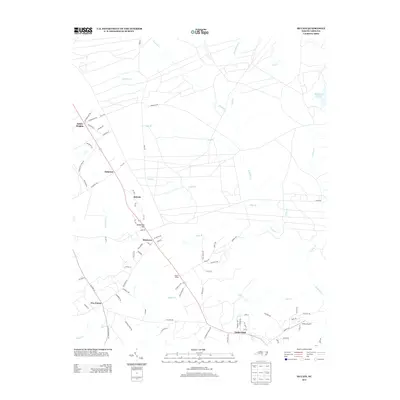
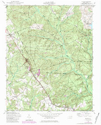 1948 Mc Cain1984 Print · USGSHoke County settlement and military expansion meet in the late 1940s along the Aberdeen and Rockfish line. Trace local roots through the rail sidings and rural hamlets of Montrose, Ashley Heights, and Timberland.3 unique versions available
 - 1950 Map of Sanatorium
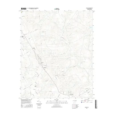
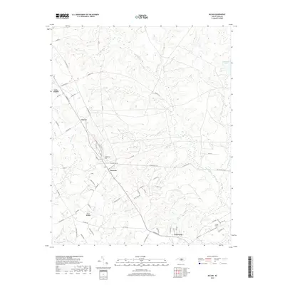
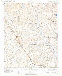 1950 Sanatorium1950 Print · USGSThe rural communities of Hoke and Moore counties are shown here just after the war, centered on the State Tuberculosis Sanatorium. Genealogists can trace family footprints near Ashley Heights and Timberland, or locate old landmarks like Sandy Grove Ch.2 unique versions available
 - 1950 Map of Pine Bluff
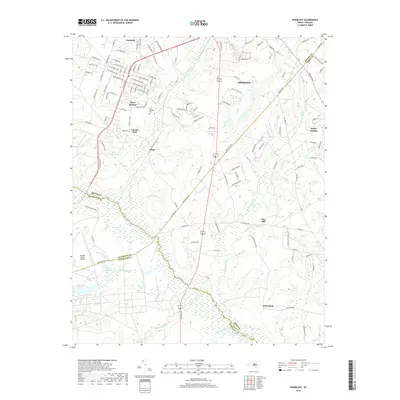
 1950 Pine Bluff1950 Print · USGSThe North Carolina Sandhills are captured here at the start of the 1950s, showing a landscape defined by military training and the railroad. Genealogists and local historians can trace family sites like Silver Springs Cemetery, the McFarland Sch, and the wartime infrastructure of Camp Mackall.
 - 1953 Map of Raleigh, 1965 Print
 1953 Raleigh1965 Print · USGSCentral North Carolina in the early sixties shows a landscape of growing towns and military hubs before the full expansion of the interstate system. Genealogists can trace family footprints across the Piedmont through Wake Forest, Siler City, and the large Fort Bragg Military Reservation.4 unique versions available
 - 1954 Map of Raleigh
 1954 Raleigh1954 Print · USGSThe North Carolina Piedmont and Sandhills are captured in the mid-fifties during a period of steady regional growth. Genealogists and historians can trace the development of towns like Siler City or locate landmarks such as Falls of Neuse and Camp Mackall.
 - 1957 Map of Southern Pines, 1960 Print
 1957 Southern Pines1960 Print · USGSThe North Carolina Sand Hills come into focus in the late fifties, centered on the growing resorts and rail hubs of Moore County. Researchers can trace historic lineages through local landmarks like Old Notre Dame Academy, McCrimmons Chapel, and the Silver Spring Cem.
 - 1976 Map of Pinebluff, 1978 Print
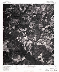 1976 Pinebluff1978 Print · USGSThe Moore County landscape near Aberdeen is captured in sharp detail in the mid-1970s through this aerial survey. Researchers and local historians can trace the exact footprint of early neighborhoods, road networks, and agricultural boundaries surrounding the town.
 - 1976 Map of Sanatorium, 1978 Print
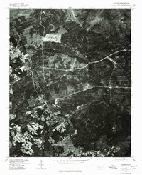 1976 Sanatorium1978 Print · USGSHoke County is captured in the mid-1970s through this detailed aerial survey of the North Carolina Sandhills. Genealogists and local historians can trace the specific field lines and rural road networks connecting Ashley Heights, Montrose, and Mc Kiethan Pond.
 - 1982 Map of Southern Pines, 1983 Print
 1982 Southern Pines1983 Print · USGSCentral North Carolina in the early eighties shows a landscape defined by military expansion and historic rail corridors. Researchers can trace the legacy of the Seaboard Coast Line through Pinehurst or locate landmarks like the Town Creek Indian Mound State Historic Site.
 - 2002 Map of Pinebluff
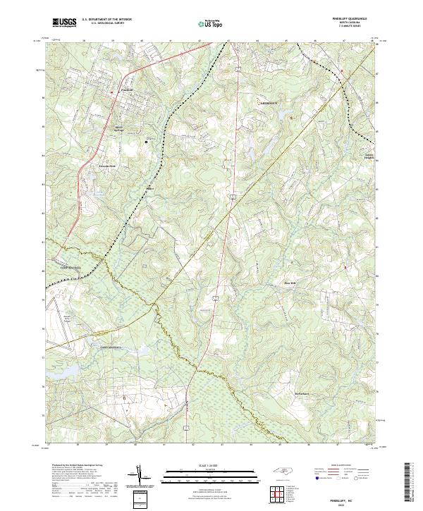
 2002 Pinebluff2002 Print · USGSMoore County at the start of the millennium shows a fascinating mix of established town life and large-scale military landscapes. Researchers can trace local heritage at Poplar Springs Church, identify the rail-side Ice Loading Platform, or locate family sites near Silver Springs.
 - 2010 Map of Pinebluff, 2010 Print
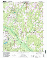
 2010 Pinebluff2010 Print · USGSCovers Ashley Heights, including Aberdeen, Pinebluff, and other nearby areas
 - 2013 Map of Pinebluff, 2013 Print
 2013 Pinebluff2013 Print · USGSCovers Ashley Heights, including Aberdeen, Pinebluff, and other nearby areas
 - 2013 Map of McCain, 2013 Print
 2013 McCain2013 Print · USGSCovers Ashley Heights, including McCain, Montrose, and other nearby areas
 - 2016 Map of McCain, 2016 Print
 2016 McCain2016 Print · USGSCovers Ashley Heights, including McCain, Montrose, and other nearby areas
 - 2016 Map of Pinebluff, 2016 Print
 2016 Pinebluff2016 Print · USGSCovers Ashley Heights, including Aberdeen, Pinebluff, and other nearby areas
 - 2019 Map of Pinebluff, 2019 Print
 2019 Pinebluff2019 Print · USGSCovers Ashley Heights, including Aberdeen, Pinebluff, and other nearby areas
 - 2019 Map of McCain, 2019 Print
 2019 McCain2019 Print · USGSCovers Ashley Heights, including McCain, Montrose, and other nearby areas
 - 2022 Map of Pinebluff, 2022 Print
 2022 Pinebluff2022 Print · USGSThe Sandhills region at the Moore and Richmond county line comes into focus in the early 2020s. Genealogists can locate family sites near Silver Springs Cem or trace the rural reach of Addor and McFarland along the banks of Drowning Cr.
 - 2022 Map of McCain, 2022 Print
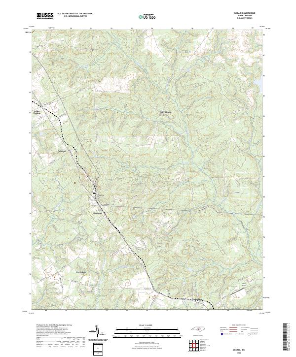 2022 McCain2022 Print · USGSHoke County in the early 2020s remains a landscape of traditional crossroads and flowing creeks south of the sandhills. Researchers can trace the development of Ashley Heights, the residential layout of Montrose, and landmarks like Viking Airport.
End of results
Showing maps 1-21 of 21
Top cities near Ashley Heights
- Pinehurst historical maps
- Southern Pines historical maps
- Aberdeen historical maps
- Seven Lakes historical maps
- Raeford historical maps
- Whispering Pines historical maps
See more
Frequently asked questions
- What are the different types of historical maps available for Ashley Heights?
- What is the oldest map of Ashley Heights?
- Where can I purchase historical maps of Ashley Heights for my home or office?
- Where can I download high-res historical maps of Ashley Heights?
- Are there historical topographic maps available for Ashley Heights?
- Is there historical aerial imagery available for Ashley Heights?
- Where are historical maps of Ashley Heights sourced from?