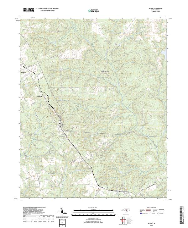
2022 Map of McCain
USGS Topo · Published 2022About this map
Ashley Heights and Montrose anchor this area of Hoke County, where the landscape is defined by a dense network of creek drainages and traditional crossroads settlements. The terrain transitions toward Sandstone Hill, with significant water bodies including Rockfish Cr and Piney Bottom Cr carving through the sandy soil. This 2022 survey illustrates a mix of rural residential development and larger agricultural or timber tracts, many accessed by roads like Aberdeen Rd and Plank Rd.
Find a feature on this map
62 named features on this map. Tap any name to fly to it.
Don’t see what you’re looking for? This feature index may not catch every label — zoom into the map to look around manually.
Map Details
Editions of this 2022 McCain Map
This is the sole edition of this map. No revisions or reprints were ever made.
Other maps of this area

1948 · Southern Pines
USGS Topo · 1:62,500

1948 · Clifdale
USGS Topo · 1:62,500

1948 · Pinebluff
USGS Topo · 1:24,000

1948 · Nicholson Creek
USGS Topo · 1:24,000

1948 · Mc Cain
USGS Topo · 1:24,000

1949 · Wagram
USGS Topo · 1:24,000

1949 · Silver Hill
USGS Topo · 1:24,000

1949 · Laurinburg
USGS Topo · 1:62,500

1950 · Sanatorium
USGS Topo · 1:24,000

1950 · Lobelia
USGS Topo · 1:24,000