2000s (21st Century) Maps of Mooresville, North Carolina
Explore 15 historic maps of Mooresville from the 2000s (21st Century). These maps offer a rare glimpse into what life looked like during the 2000s — showing old roads, neighborhoods, homes, and landmarks that have changed or disappeared over time.
Whether you're researching your family's past, planning a metal detecting trip, or studying how Mooresville's landscape evolved across the 2000s, these high-resolution maps are a powerful tool for exploring the history of this region.
- Focus on a specific era: All maps on this page are from the 2000s, giving you a focused view of this time period.
- See what’s changed: Compare century-old streets, trails, and buildings to today's modern landscape using overlays and satellite layers.
- Research with precision: Use these maps for genealogy, historical research, land use analysis, or educational projects.
- View, download, or print: Maps are fully viewable online in high resolution, and can be downloaded or printed for your own records.
Start exploring Mooresville's history through authentic maps from the 2000s. This is your window into the past.
Mooresville, NC maps
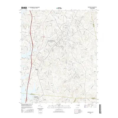
(15)- 2010 Map of Mooresville, 2010 Print
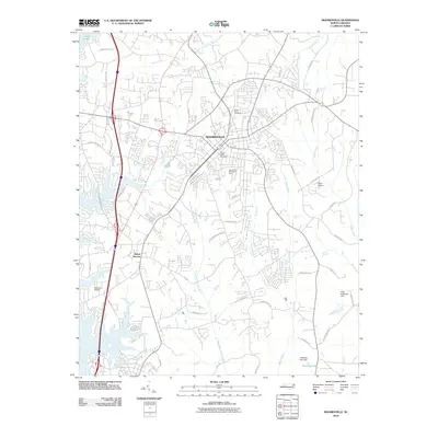 2010 Mooresville2010 Print · USGSCovers Mooresville, including Davidson, Langtree, and other nearby areas
 - 2010 Map of Shepherds, 2010 Print
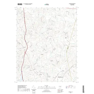
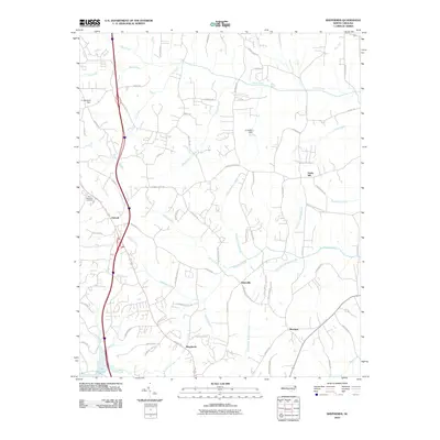 2010 Shepherds2010 Print · USGSCovers Mooresville, including Statesville, Troutman, and other nearby areas
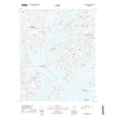
 - 2011 Map of Lake Norman North, 2011 Print
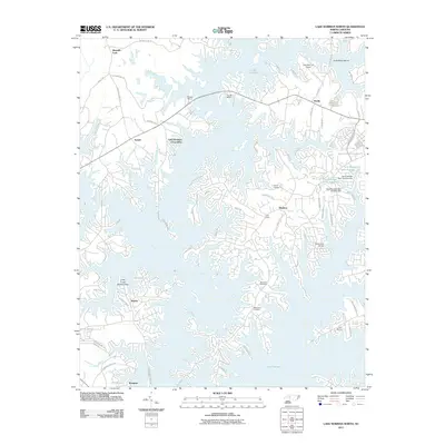 2011 Lake Norman North2011 Print · USGSCovers Mooresville, including Cornelius, Webbs, and other nearby areas
 - 2013 Map of Shepherds, 2013 Print
 2013 Shepherds2013 Print · USGSCovers Mooresville, including Statesville, Troutman, and other nearby areas
 - 2013 Map of Lake Norman North, 2013 Print
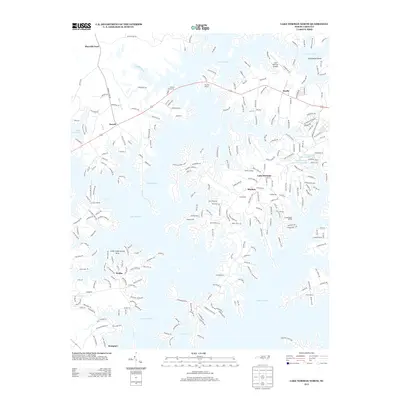 2013 Lake Norman North2013 Print · USGSCovers Mooresville, including Cornelius, Webbs, and other nearby areas
 - 2013 Map of Mooresville, 2013 Print
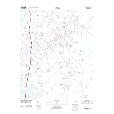 2013 Mooresville2013 Print · USGSCovers Mooresville, including Davidson, Langtree, and other nearby areas
 - 2016 Map of Lake Norman North, 2016 Print
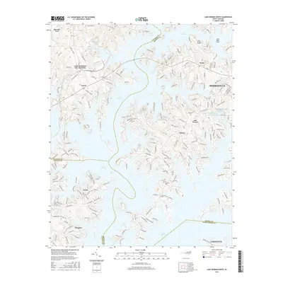 2016 Lake Norman North2016 Print · USGSCovers Mooresville, including Cornelius, Webbs, and other nearby areas
 - 2016 Map of Shepherds, 2016 Print
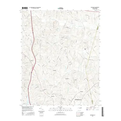 2016 Shepherds2016 Print · USGSCovers Mooresville, including Statesville, Troutman, and other nearby areas
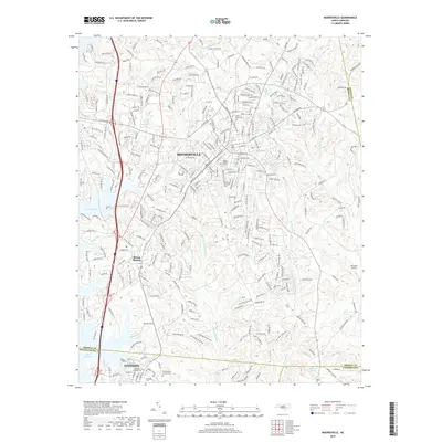
 - 2016 Map of Mooresville, 2016 Print
 2016 Mooresville2016 Print · USGSCovers Mooresville, including Davidson, Langtree, and other nearby areas
 - 2019 Map of Mooresville, 2019 Print
 2019 Mooresville2019 Print · USGSCovers Mooresville, including Davidson, Langtree, and other nearby areas
 - 2019 Map of Lake Norman North, 2019 Print
 2019 Lake Norman North2019 Print · USGSCovers Mooresville, including Cornelius, Webbs, and other nearby areas
 - 2019 Map of Shepherds, 2019 Print
 2019 Shepherds2019 Print · USGSCovers Mooresville, including Statesville, Troutman, and other nearby areas
 - 2022 Map of Shepherds, 2022 Print
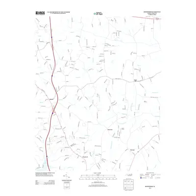
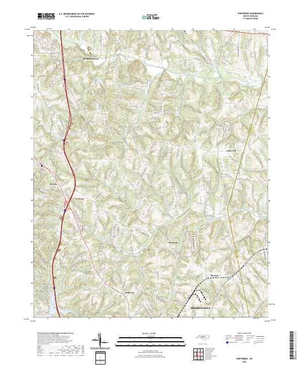 2022 Shepherds2022 Print · USGSIredell County's Piedmont landscape is captured here in the contemporary era, showing the corridor between the growing hubs of Statesville and Mooresville. Researchers can trace old rural centers like Ostwalt and Shinnville, or locate the Saint Michaels Cemetery and Atwell Airport.
 - 2022 Map of Mooresville, 2022 Print
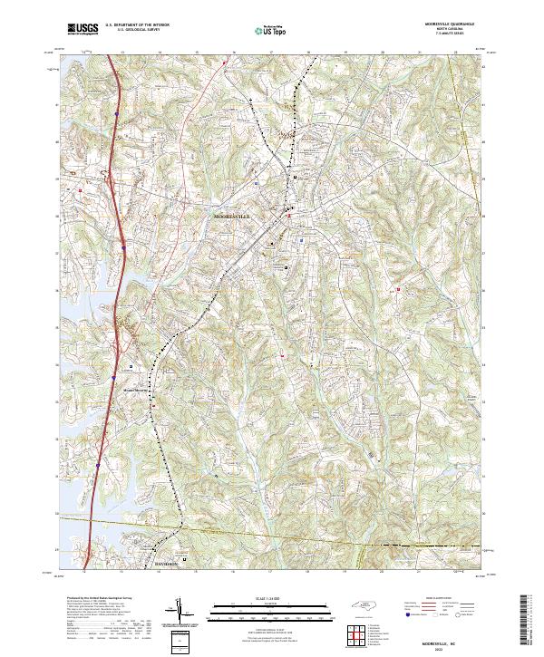 2022 Mooresville2022 Print · USGSIredell and Mecklenburg counties come together in this contemporary look at the Piedmont, where historic rail towns meet expanding suburbs. Local researchers can trace family sites at Christian Aid Society Cem, find landmarks like Johnston Airport, and follow the banks of Davidson Creek.
 - 2023 Map of Lake Norman North, 2023 Print
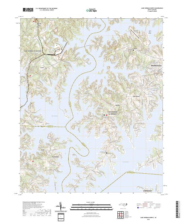 2023 Lake Norman North2023 Print · USGSLake Norman's jagged shoreline and modern residential growth define this contemporary look at the Piedmont region. Researchers can trace family history at Rockwell Cem or locate the historic Gold Mine Island amidst the developed landscape of Sherrills Ford and Westport.
End of results
Showing maps 1-15 of 15
Top cities near Mooresville
- Charlotte historical maps
- Concord historical maps
- Huntersville historical maps
- Kannapolis historical maps
- Statesville historical maps
- Cornelius historical maps
See more
Top neighborhoods of Mooresville
Frequently asked questions
- What are the different types of historical maps available for Mooresville?
- What is the oldest map of Mooresville?
- Where can I purchase historical maps of Mooresville for my home or office?
- Where can I download high-res historical maps of Mooresville?
- Are there historical topographic maps available for Mooresville?
- Is there historical aerial imagery available for Mooresville?
- Where are historical maps of Mooresville sourced from?