Old Maps of Mooresville, North Carolina for Hiking & Exploration
Hike through history with 26 historic maps of Mooresville. Explore old trails, ghost towns, and forgotten backroads — perfect for outdoor adventurers and local explorers.
- Rediscover forgotten places: Map out old mining camps, roads, and footpaths that no longer exist on modern maps.
- Layer with modern tools: Combine with LiDAR or satellite views to plan hikes through historical terrain.
- Made for exploration: Popular among hikers, overlanders, and local history lovers.
Use these maps to find adventure and explore the hidden past of Mooresville.
Mooresville, NC maps
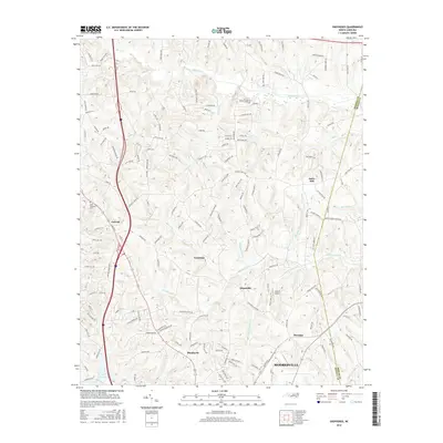
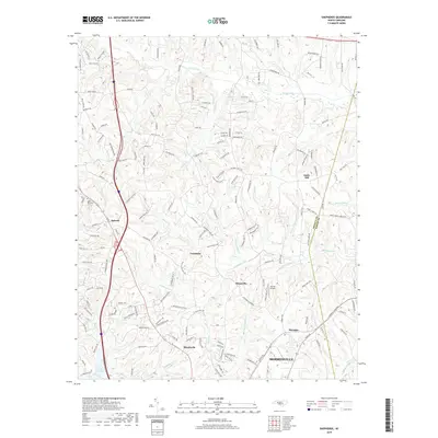
(26)- 1893 Map of Statesville, 1934 Print
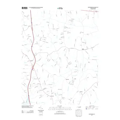
 1893 Statesville1934 Print · USGSThe North Carolina Piedmont in the late nineteenth century was a landscape of river-powered industry and rail-connected crossroads. Researchers can trace ancestral locations through dozens of named mills like Ketchies Mill and historic crossings like Cornelius Ferry or Beattie Ford.2 unique versions available
 - 1953 Map of Charlotte, 1968 Print
 1953 Charlotte1968 Print · USGSThe North Carolina Piedmont and South Carolina borderlands are shown in detail during a period of significant growth and reservoir development. Trace the rail corridors of the Southern Railway or find family roots in towns like China Grove, Misenheimer, and Lincolnton.3 unique versions available
 - 1954 Map of Charlotte
 1954 Charlotte1954 Print · USGSThe North Carolina Piedmont in the mid-1950s shows a region of rapid growth and industrial expansion centered around Charlotte. Trace the era's infrastructure through the Southern railroad lines and locate significant landmarks like the Charlotte Naval Ammunition Depot and Lake Norman.2 unique versions available
 - 1960 Map of Charlotte
 1960 Charlotte1960 Print · USGSMid-century North Carolina and South Carolina meet in this 1960 survey of the Piedmont's industrial and textile heartland. Trace the growth of Charlotte alongside historic landmarks like Kings Mountain National Military Park and the Charlotte Naval Ammunition Depot.2 unique versions available
 - 1962 Map of Charlotte
 1962 Charlotte1962 Print · USGSThe North Carolina Piedmont in the early sixties showcases a landscape transformed by massive reservoirs and industrial growth. Researchers can trace the development of Lake Norman, locate the Charlotte Naval Ammunition Depot, or find family landmarks like Wesley Chapel and Brown & Norcott Mills.
 - 1969 Map of Shepherds, 1972 Print
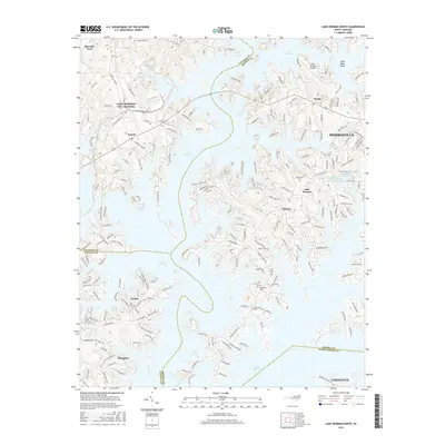
 1969 Shepherds1972 Print · USGSIredell and Rowan counties are captured here in the late sixties, just as the new shoreline of Lake Norman began to alter the rural landscape. Genealogists can trace family footprints through the numerous country churches like Vanderburg Ch and St James Ch, or locate vanished school sites like Amity Sch.
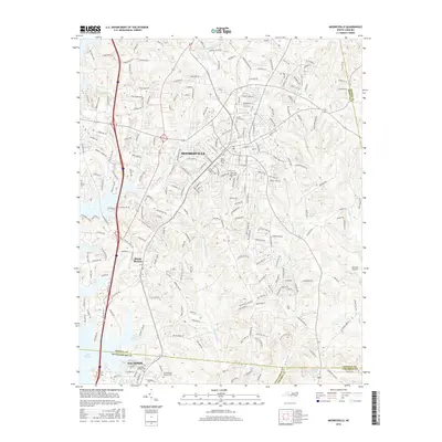
 - 1969 Map of Mooresville, 1972 Print
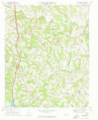
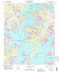
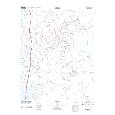
 1969 Mooresville1972 Print · USGSIredell County undergoes significant change in the late sixties as the waters of Lake Norman reach into the western valleys. Genealogists and local historians can trace the foundations of Davidson College and find old landmarks like Centre Ch and Mt Mourne.3 unique versions available
 - 1970 Map of Lake Norman North, 1972 Print
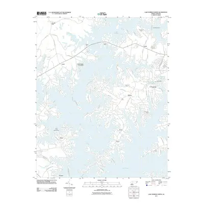
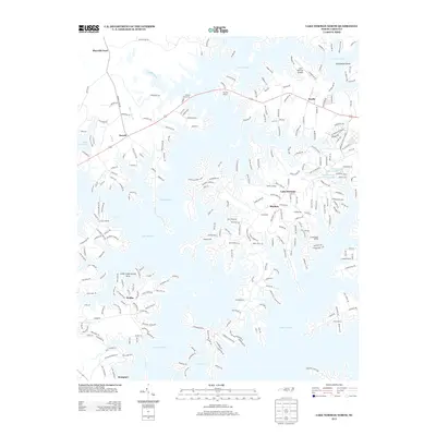
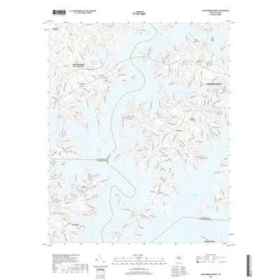
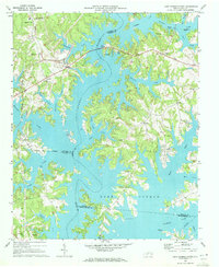 1970 Lake Norman North1972 Print · USGSThe northern reaches of Lake Norman are shown just years after the reservoir's creation, where you can trace the flooded Catawba River valley. Genealogists will find Webbs Chapel, Motto Grove Church, and the Brawley School.3 unique versions available
 - 1985 Map of Salisbury, 1986 Print
 1985 Salisbury1986 Print · USGSNorth Carolina’s industrial Piedmont region comes into focus during the mid-eighties as textile and rail towns expanded. Genealogists and historians can locate rural landmarks like Davidson College and Boones Cave State Park or trace the Southern Railway through Lexington and Salisbury.2 unique versions available
 - 1993 Map of Mooresville, 1996 Print
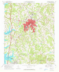
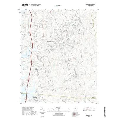
 1993 Mooresville1996 Print · USGSMooresville and the shoreline of Lake Norman are captured in the mid-nineties as the region balanced its textile-town roots with lakeside growth. Researchers can locate family landmarks like Willow Valley Cem, the Dunbar Sch, and Davidson College.
 - 1993 Map of Lake Norman North, 1996 Print
 1993 Lake Norman North1996 Print · USGSThe Catawba River valley in the early nineties shows a landscape transformed by reservoir waters and residential growth. Researchers can trace older landmarks like Sherrills Ford and Webbs Chapel or locate the Williamson Cem along the winding shores of Lake Norman.
 - 2010 Map of Mooresville, 2010 Print
 2010 Mooresville2010 Print · USGSCovers Mooresville, including Davidson, Langtree, and other nearby areas
 - 2010 Map of Shepherds, 2010 Print
 2010 Shepherds2010 Print · USGSCovers Mooresville, including Statesville, Troutman, and other nearby areas
 - 2011 Map of Lake Norman North, 2011 Print
 2011 Lake Norman North2011 Print · USGSCovers Mooresville, including Cornelius, Webbs, and other nearby areas
 - 2013 Map of Shepherds, 2013 Print
 2013 Shepherds2013 Print · USGSCovers Mooresville, including Statesville, Troutman, and other nearby areas
 - 2013 Map of Lake Norman North, 2013 Print
 2013 Lake Norman North2013 Print · USGSCovers Mooresville, including Cornelius, Webbs, and other nearby areas
 - 2013 Map of Mooresville, 2013 Print
 2013 Mooresville2013 Print · USGSCovers Mooresville, including Davidson, Langtree, and other nearby areas
 - 2016 Map of Lake Norman North, 2016 Print
 2016 Lake Norman North2016 Print · USGSCovers Mooresville, including Cornelius, Webbs, and other nearby areas
 - 2016 Map of Shepherds, 2016 Print
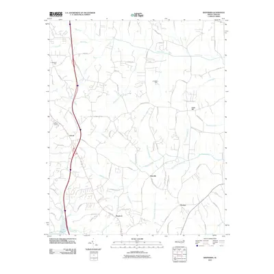
 2016 Shepherds2016 Print · USGSCovers Mooresville, including Statesville, Troutman, and other nearby areas
 - 2016 Map of Mooresville, 2016 Print
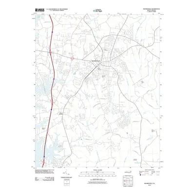
 2016 Mooresville2016 Print · USGSCovers Mooresville, including Davidson, Langtree, and other nearby areas
 - 2019 Map of Mooresville, 2019 Print
 2019 Mooresville2019 Print · USGSCovers Mooresville, including Davidson, Langtree, and other nearby areas
 - 2019 Map of Lake Norman North, 2019 Print
 2019 Lake Norman North2019 Print · USGSCovers Mooresville, including Cornelius, Webbs, and other nearby areas
 - 2019 Map of Shepherds, 2019 Print
 2019 Shepherds2019 Print · USGSCovers Mooresville, including Statesville, Troutman, and other nearby areas
 - 2022 Map of Shepherds, 2022 Print
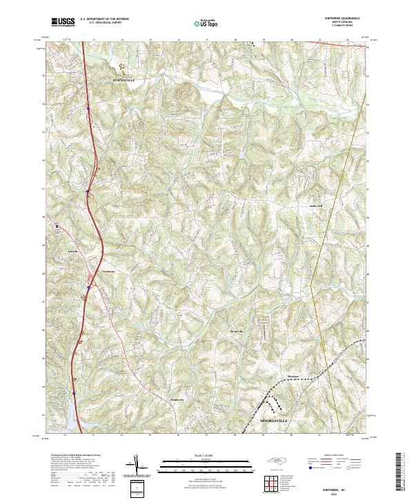 2022 Shepherds2022 Print · USGSIredell County's Piedmont landscape is captured here in the contemporary era, showing the corridor between the growing hubs of Statesville and Mooresville. Researchers can trace old rural centers like Ostwalt and Shinnville, or locate the Saint Michaels Cemetery and Atwell Airport.
 - 2022 Map of Mooresville, 2022 Print
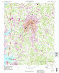
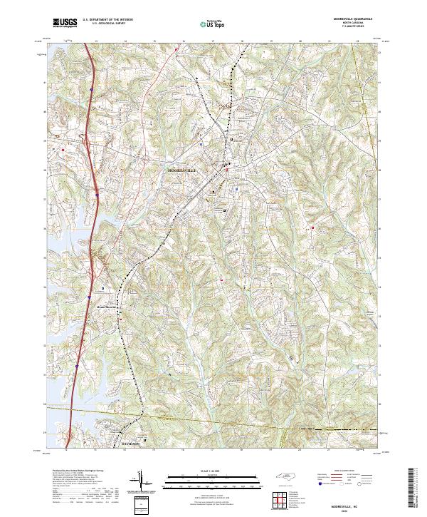 2022 Mooresville2022 Print · USGSIredell and Mecklenburg counties come together in this contemporary look at the Piedmont, where historic rail towns meet expanding suburbs. Local researchers can trace family sites at Christian Aid Society Cem, find landmarks like Johnston Airport, and follow the banks of Davidson Creek.
Showing maps 1-25 of 26
Top cities near Mooresville
- Charlotte historical maps
- Concord historical maps
- Huntersville historical maps
- Kannapolis historical maps
- Statesville historical maps
- Cornelius historical maps
See more
Top neighborhoods of Mooresville
Frequently asked questions
- What are the different types of historical maps available for Mooresville?
- What is the oldest map of Mooresville?
- Where can I purchase historical maps of Mooresville for my home or office?
- Where can I download high-res historical maps of Mooresville?
- Are there historical topographic maps available for Mooresville?
- Is there historical aerial imagery available for Mooresville?
- Where are historical maps of Mooresville sourced from?