2000s (21st Century) Maps of Jackson County, North Carolina
Explore 83 historic maps of Jackson County from the 2000s (21st Century). These maps offer a rare glimpse into what life looked like during the 2000s — showing old roads, neighborhoods, homes, and landmarks that have changed or disappeared over time.
Whether you're researching your family's past, planning a metal detecting trip, or studying how Jackson County's landscape evolved across the 2000s, these high-resolution maps are a powerful tool for exploring the history of this region.
- Focus on a specific era: All maps on this page are from the 2000s, giving you a focused view of this time period.
- See what’s changed: Compare century-old streets, trails, and buildings to today's modern landscape using overlays and satellite layers.
- Research with precision: Use these maps for genealogy, historical research, land use analysis, or educational projects.
- View, download, or print: Maps are fully viewable online in high resolution, and can be downloaded or printed for your own records.
Start exploring Jackson County's history through authentic maps from the 2000s. This is your window into the past.
Jackson County, NC maps
(83)- 2000 Map of Sylva South, 2001 Print
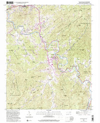 2000 Sylva South2001 Print · USGSJackson County at the turn of the millennium shows a fascinating mix of academic expansion and deep-rooted mountain heritage along the Tuckasegee River. Genealogists and local historians can trace the footprint of Western Carolina University alongside family landmarks like Parris Cem and the village of Webster.
 - 2000 Map of Bunches Bald, 2001 Print
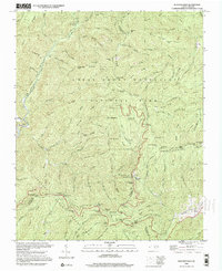 2000 Bunches Bald2001 Print · USGSThe high ridges of the Great Smoky Mountains meet the Cherokee Indian Reservation at the turn of the millennium. Local historians can trace the paths of the Blue Ridge Parkway past the Big Cove Mission and the Masonic Monument.
 - 2000 Map of Smokemont, 2001 Print
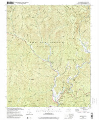 2000 Smokemont2001 Print · USGSSwain County's mountain landscape is captured at the start of the millennium, showing where the National Park and the Cherokee Indian Reservation converge. Genealogists and local researchers can trace numerous family burial sites such as Slave Cem and Nations Cem alongside landmarks like Mingo Falls.
 - 2010 Map of Bunches Bald, 2010 Print
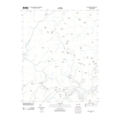 2010 Bunches Bald2010 Print · USGSThe high ridges of the Qualla Boundary are documented in the early twenty-first century, showing the intersection of parkway engineering and tribal lands. Researchers can trace the paths of the Blue Ridge Pkwy through the Big Witch Tunnel and locate sites like the Masonic Monument or Big Cove.
 - 2010 Map of Smokemont, 2010 Print
 2010 Smokemont2010 Print · USGSSmokemont and the river valleys of western North Carolina are captured here in the early twenty-first century. Researchers can locate numerous family burial grounds like the Slave Cemetery and Nations Cemetery, or trace the Blue Ridge Pkwy through its mountain tunnels.
 - 2011 Map of Corbin Knob, 2011 Print
 2011 Corbin Knob2011 Print · USGSThe Cowee Mountains of Macon County are documented here in the early 2000s, showing a landscape of high ridges and river valleys. Researchers can locate the Nikwasi Indian Mound and trace mining history at the Rocky Face Mine or Gem City Mine.
 - 2011 Map of Tuckasegee, 2011 Print
 2011 Tuckasegee2011 Print · USGSJackson County in the early 2000s is shown here as a landscape of high ridges and creek-bottom settlements. Researchers can trace family history at Sols Creek Cemetery and Brasstown Cemetery or locate the historic Judaculla Rock.
 - 2011 Map of Sylva South, 2011 Print
 2011 Sylva South2011 Print · USGSThe Tuckasegee River valley near Cullowhee comes into focus here during the early twenty-first century. Genealogists and local historians can locate several family burial sites like Wyke Cemetery and Ash Cemetery or trace the industrial history of the Dillsboro Mine.
 - 2011 Map of Greens Creek, 2011 Print
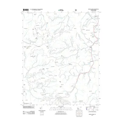 2011 Greens Creek2011 Print · USGSDillsboro and the Jackson County mountains are shown at a time when traditional rail routes and mining history met modern rural life. Genealogists and historians can trace family sites like Cagle Cemetery and old mining operations at Cherokee Mine or Ruby Mine.
 - 2011 Map of Whittier, 2011 Print
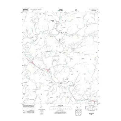 2011 Whittier2011 Print · USGSWestern North Carolina's river valleys and tribal lands are meticulously documented here in the early twenty-first century. Genealogists and historians can trace family roots through numerous cemeteries like Birdtown and Stamper, or locate landmarks such as the Oconaluftee Indian Village and Cowee Tunnel.
 - 2011 Map of Hazelwood, 2011 Print
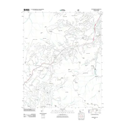 2011 Hazelwood2011 Print · USGSWestern North Carolina's high ridges and steep coves come into focus in this early twenty-first century study. Genealogists and hikers can trace the Blue Ridge Pkwy past the Morrison Fish Hatchery and local burial sites like Redbank and Love.
 - 2011 Map of Lake Toxaway, 2011 Print
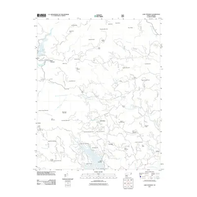 2011 Lake Toxaway2011 Print · USGSThe high Blue Ridge landscape of Transylvania County is captured here in the early twenty-first century as recreation and residential growth surround the water. Local historians can trace family markers at Owens Cemetery or locate the Toxaway Mountain Lookout and the settlement of Quebec.
 - 2011 Map of Sylva North, 2011 Print
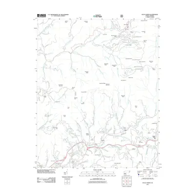 2011 Sylva North2011 Print · USGSThe mountain ridges north of Sylva are shown here in the early twenty-first century, spanning the high peaks of the Plott Balsams and the Parkway. Genealogists can trace family names through landmarks like Norman-Blanton Cemetery, Addie, and Keener Cemetery.
 - 2011 Map of Big Ridge, 2011 Print
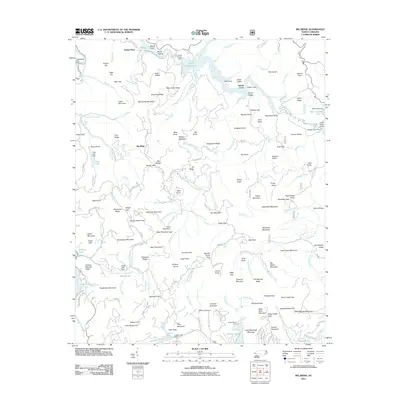 2011 Big Ridge2011 Print · USGSJackson County is shown at a time when managed reservoirs and high mountain gaps defined the local geography. Researchers can trace the layout of Indian Place, locate Schoolhouse Falls, and identify the structures of the Bear Creek Dam and Wolf Creek Dam.
 - 2011 Map of Sam Knob, 2011 Print
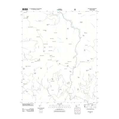 2011 Sam Knob2011 Print · USGSHigh in the Great Balsam Mountains during the early 2000s, this survey captures a landscape of extreme elevation and river headwaters. Researchers can locate the Harris Cemetery or trace the waters of the West Fork Pigeon River near Sam Knob.
 - 2011 Map of Cashiers, 2011 Print
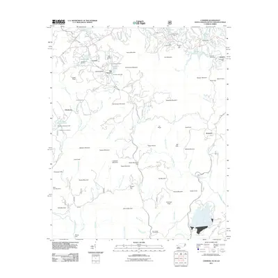 2011 Cashiers2011 Print · USGSCashiers and the surrounding Blue Ridge highlands are shown at a time of significant recreational and residential expansion. Genealogists and local historians can locate several family cemeteries, including Upper Zachary Cemetery and Whiteside Cove Cemetery, alongside the distinctive dams of Hampton Lake and Sapphire Lake.
 - 2011 Map of Highlands, 2011 Print
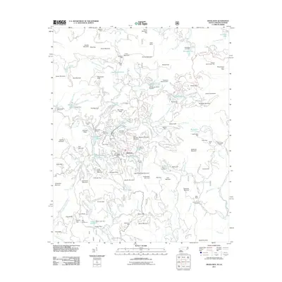 2011 Highlands2011 Print · USGSHighlands and the high mountain gaps of the North Carolina-Georgia border are shown here during the early twenty-first century. Researchers can locate Highlands Cemetery, trace the Cullasaja River, and find local landmarks like Cold Springs Saddle Club Lake.
 - 2011 Map of Glenville, 2011 Print
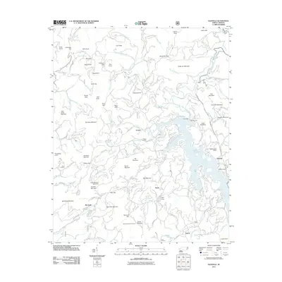 2011 Glenville2011 Print · USGSThe Jackson County highlands are captured here in the early twenty-first century, centered on the waters of Lake Glenville. Researchers can locate family landmarks like Strain Cemetery and the settlements of Erastus and Shookville.
 - 2011 Map of Reid, 2011 Print
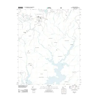 2011 Reid2011 Print · USGSThe North Carolina and South Carolina borderlands come into focus in this late-era survey of the Blue Ridge escarpment. Genealogists and hikers can trace family names at Oakland Cemetery or explore the rugged gaps of Tarkiln Gap and Hickory Gap.
 - 2013 Map of Glenville, 2013 Print
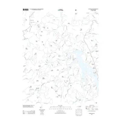 2013 Glenville2013 Print · USGSJackson County's high country is documented here in the early twenty-first century, showing the scattered communities and steep ridges near the W Fork Tuckasegee River. Researchers can locate family landmarks and rural sites like the Yellow Mountain Fire Tower, Stewart Cemetary Rd, and the settlement of Shookville.
 - 2013 Map of Sylva South, 2013 Print
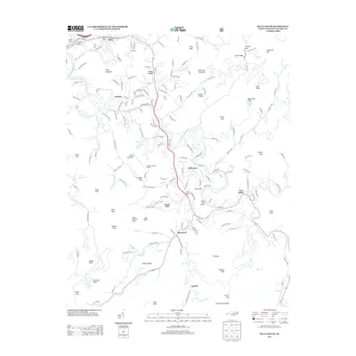 2013 Sylva South2013 Print · USGSCullowhee and the Tuckasegee River valley are captured here during a period of steady growth in Jackson County. Researchers can locate family landmarks like Hooper Cemetery Rd, the Jackson County Farm, and the riverside community of East Laport.
 - 2013 Map of Highlands, 2013 Print
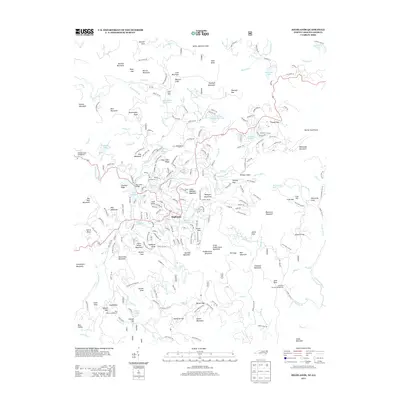 2013 Highlands2013 Print · USGSHighlands and the surrounding Blue Ridge peaks are documented here in the early twenty-first century. Genealogists and hikers can trace the development of Highlands along with landmarks like Bridal Veil Falls, Mirror Lake, and the remote Horse Cove settlement.
 - 2013 Map of Corbin Knob, 2013 Print
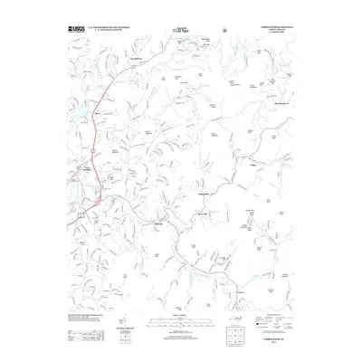 2013 Corbin Knob2013 Print · USGSMacon County's mountain valleys and river bends are captured here during the early twenty-first century. Genealogists and historians can trace family roots through the clusters at Brendletown and Gneiss, or locate the ancient Nikwasi Indian Mound near East Franklin.
 - 2013 Map of Big Ridge, 2013 Print
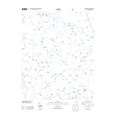 2013 Big Ridge2013 Print · USGSJackson County's high ridges and river valleys are shown here in the early twenty-first century, before recent shifts in land use. Researchers can locate landmarks like Indian Place, Merrie Woode Camp, and numerous cataracts such as Schoolhouse Falls.
 - 2013 Map of Whittier, 2013 Print
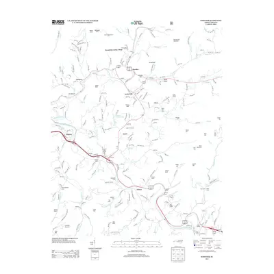 2013 Whittier2013 Print · USGSThe mountain communities of the Qualla Boundary come to life in this contemporary study of western North Carolina. Researchers can trace ancestral connections and local landmarks from Cherokee to Whittier, including Hensley Cemetery, the Mountainside Theater, and Oconaluftee Indian Village.
Showing maps 1-25 of 83
Top cities of Jackson County
- Cullowhee historical maps
- Sylva historical maps
- Webster historical maps
- Forest Hills historical maps
- Dillsboro historical maps
- Cashiers historical maps
Frequently asked questions
- What are the different types of historical maps available for Jackson County?
- What is the oldest map of Jackson County?
- Where can I purchase historical maps of Jackson County for my home or office?
- Where can I download high-res historical maps of Jackson County?
- Are there historical topographic maps available for Jackson County?
- Is there historical aerial imagery available for Jackson County?
- Where are historical maps of Jackson County sourced from?