2020s Maps of Jackson County, North Carolina
Explore 16 historic maps of Jackson County from the 2020s. These maps offer a rare glimpse into what life looked like during the 2020s — showing old roads, neighborhoods, homes, and landmarks that have changed or disappeared over time.
Whether you're researching your family's past, planning a metal detecting trip, or studying how Jackson County's landscape evolved across the 2020s, these high-resolution maps are a powerful tool for exploring the history of this region.
- Focus on a specific era: All maps on this page are from the 2020s, giving you a focused view of this time period.
- See what’s changed: Compare century-old streets, trails, and buildings to today's modern landscape using overlays and satellite layers.
- Research with precision: Use these maps for genealogy, historical research, land use analysis, or educational projects.
- View, download, or print: Maps are fully viewable online in high resolution, and can be downloaded or printed for your own records.
Start exploring Jackson County's history through authentic maps from the 2020s. This is your window into the past.
Jackson County, NC maps
(16)- 2022 Map of Greens Creek, 2022 Print
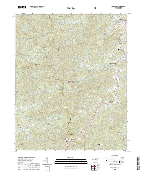 2022 Greens Creek2022 Print · USGSJackson County's mountain communities and forest lands are documented here in the early twenty-first century. Genealogists and local historians can trace family locations near Dillsboro, find the Cagle Cem, and locate old settlements like Pumpkintown or Big Laurel.
 - 2022 Map of Lake Toxaway, 2022 Print
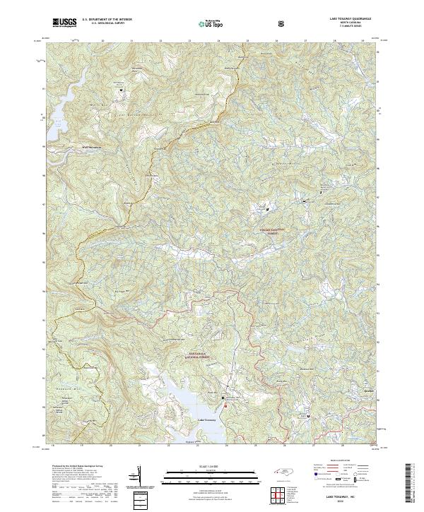 2022 Lake Toxaway2022 Print · USGSThe high ridges and deep coves of Transylvania and Jackson Counties are detailed in this recent survey. Researchers can trace family history through several mountain burial sites, including the Wolf Mountain Church Graveyard, Mack McCall Cem, and the small settlement at Quebec.
 - 2022 Map of Smokemont, 2022 Print
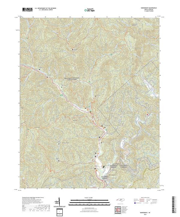 2022 Smokemont2022 Print · USGSThe southern reaches of the Smokies come alive in this recent survey, centered on the high ridges and river valleys of Swain County. Genealogists can trace deep roots through a remarkable number of family burial sites, including the Enloe Slave Cem, Bradley Family Cem, and Jonas Jenkins Cem.
 - 2022 Map of Highlands, 2022 Print
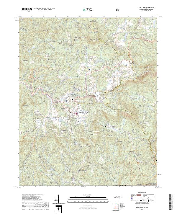 2022 Highlands2022 Print · USGSHighlands sits atop the crest of the Blue Ridge in the early 2020s, where the eastern continental divide meets the Georgia border. Trace local lineages at the Highlands Memorial Park Cem and explore the rugged landscape around Whiteside Mtn and Bridal Veil Falls.
 - 2022 Map of Glenville, 2022 Print
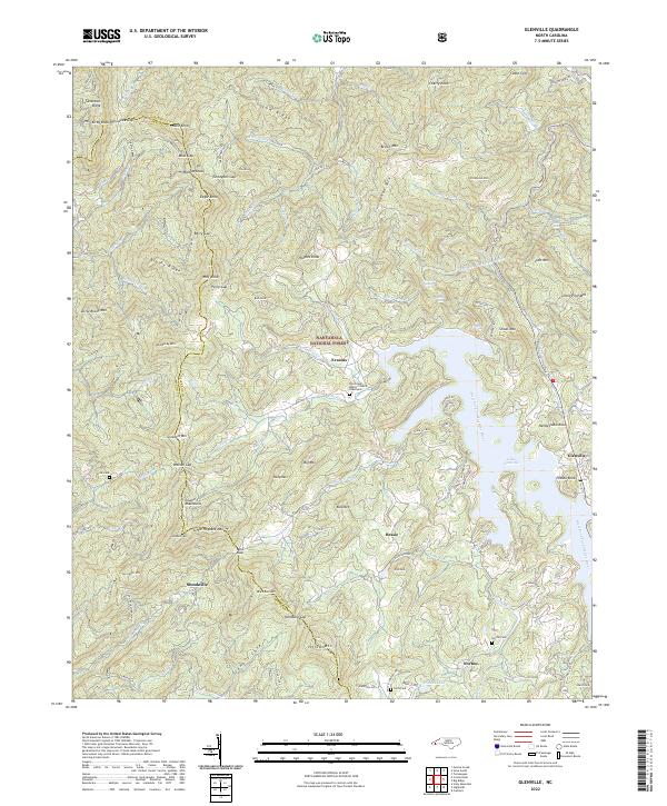 2022 Glenville2022 Print · USGSJackson County mountain life is recorded here in the early twenty-first century, centered on the waters of Lake Glenville. Researchers can locate family landmarks like Norton Cem, Strain Cem, and the Pine Creek Baptist Church.
 - 2022 Map of Cashiers, 2022 Print
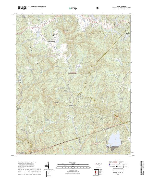 2022 Cashiers2022 Print · USGSHigh-altitude settlements in the Blue Ridge Mountains are documented here in the early twenty-first century. Genealogists and local historians can locate Upper Zachary Cem, Heady Mtn Church, and the tri-state boundary at Ellicott Rock.
 - 2022 Map of Tuckasegee, 2022 Print
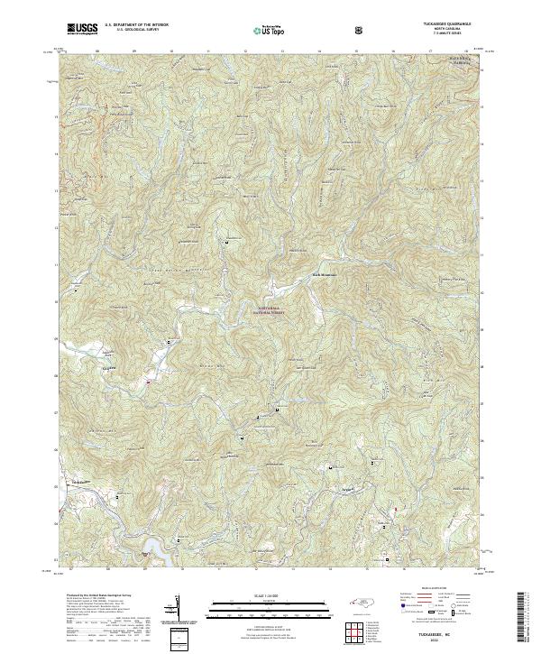 2022 Tuckasegee2022 Print · USGSJackson County's high ridges and river valleys are captured here in the early twenty-first century, showing the enduring mountain settlements. Researchers can trace family history through numerous burial sites like Cathey Cem and Brown Cem near Tuckasegee.
 - 2022 Map of Sylva North, 2022 Print
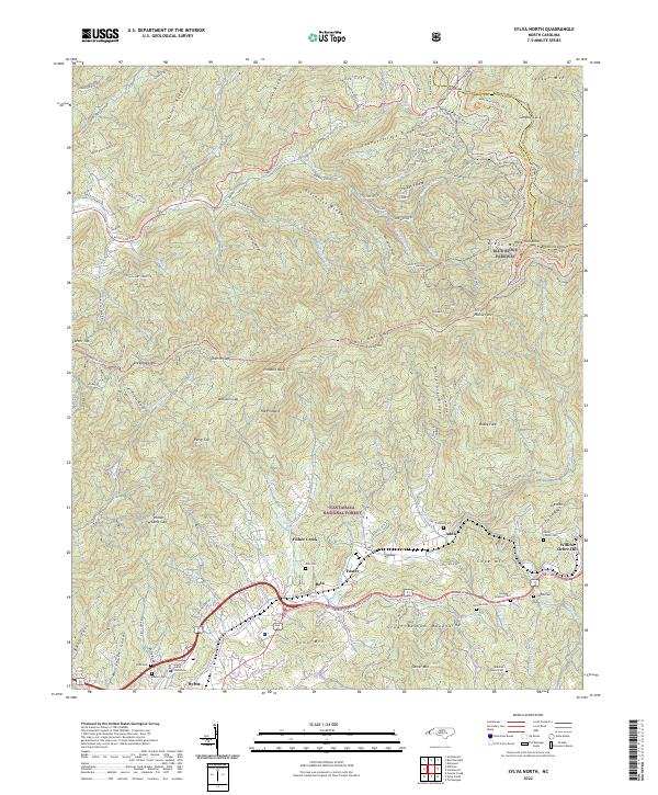 2022 Sylva North2022 Print · USGSSylva and the surrounding Balsam Mountains are captured here in the early twenty-first century as modern transit corridors follow the paths of historic valley settlements. Researchers can trace family history through numerous mountain burial sites like Dills Cem or Henry Cogdill Cem and locate the Jackson County Courthouse.
 - 2022 Map of Corbin Knob, 2022 Print
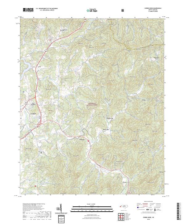 2022 Corbin Knob2022 Print · USGSMacon County in the early 2020s shows a landscape of deep valleys and high gaps where the Cowee Mountains meet the Cullasaja River. Researchers can trace old family sites and mountain settlements near Angel Cem, Berry Mill, and the community of Higdonville.
 - 2022 Map of Bunches Bald, 2022 Print
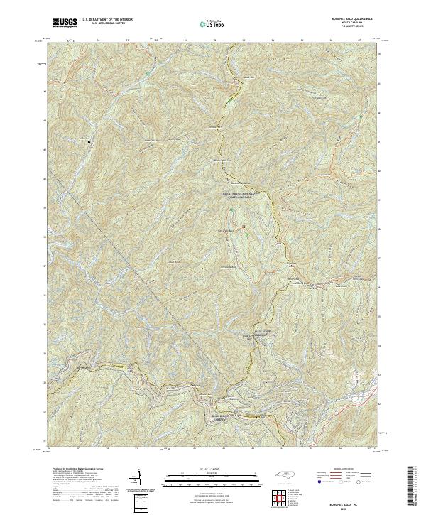 2022 Bunches Bald2022 Print · USGSThis part of the Smokies on the Swain and Haywood county line is shown here in its modern conservation era. Genealogists and hikers can trace high-altitude landmarks and family history sites like McGhee Cem, the Blue Ridge Parkway, and Potato Hill Bald.
 - 2022 Map of Sylva South, 2022 Print
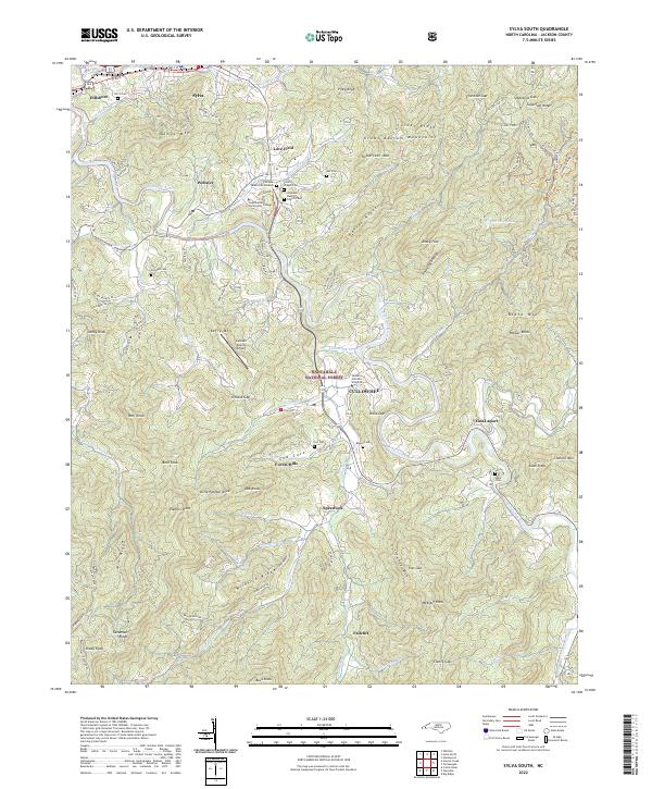 2022 Sylva South2022 Print · USGSJackson County’s academic and mountain heritage is centered on Cullowhee and the Tuckasegee River corridor in the early 2020s. Researchers can locate family heritage sites like Lovedale Baptist Church Cem and Ash Cem among the ridges of the Great Balsam Mountains.
 - 2022 Map of Big Ridge, 2022 Print
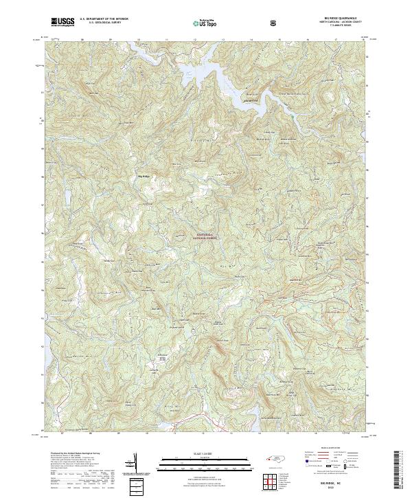 2022 Big Ridge2022 Print · USGSThe high peaks of Jackson County are shown here in the 2020s, dominated by the ridges and waterfalls of the Nantahala National Forest. Genealogists and hikers can trace the geography around Dryland Laurel, Island Ford, and the Cascades at Schoolhouse Falls.
 - 2022 Map of Whittier, 2022 Print
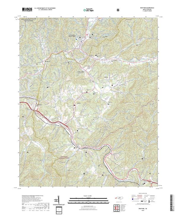 2022 Whittier2022 Print · USGSThe tribal lands and river valleys of Jackson and Swain counties are mapped here in the early 2020s. Researchers can trace ancestral sites and community landmarks like the Oconaluftee Indian Village, Yellow Hill Baptist Church, and Union Hill Cem.
 - 2022 Map of Reid, 2022 Print
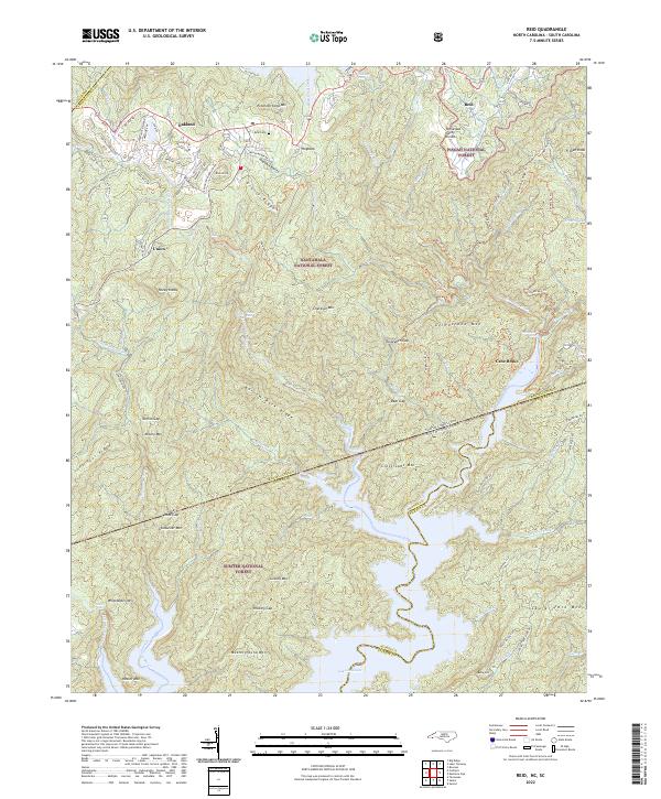 2022 Reid2022 Print · USGSThe high escarpment of the Blue Ridge comes alive in the 2020s, showing where the Carolinas meet at the headwaters of Lake Jocassee. Genealogists and hikers can trace remote landmarks like Reid Cem, the settlement of Cane Brake, and the winding Foothills Trl.
 - 2022 Map of Sam Knob, 2022 Print
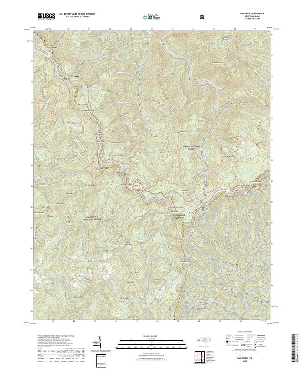 2022 Sam Knob2022 Print · USGSThe high ridges of the Great Balsam Mountains are captured here in the early twenty-first century, showing where the Nantahala National Forest and Pisgah National Forest converge. Trace the winding Blue Ridge Parkway past Richland Balsam and Balsam Lake.
 - 2023 Map of Hazelwood, 2023 Print
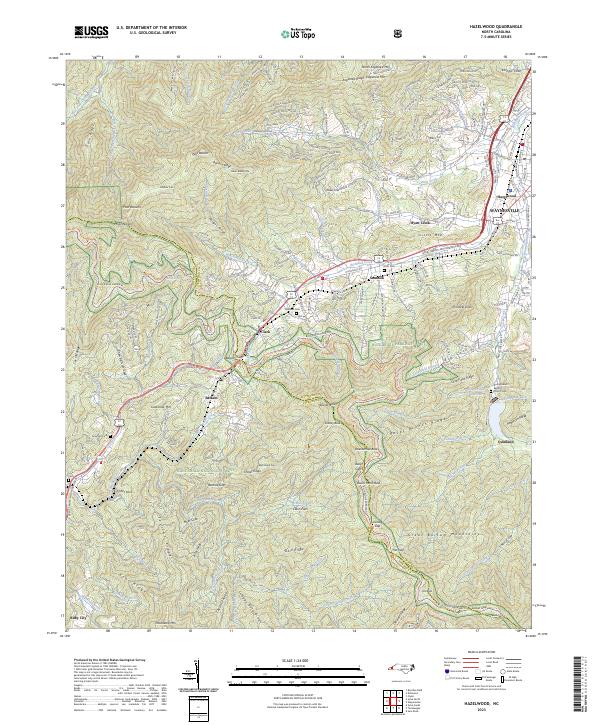 2023 Hazelwood2023 Print · USGSThe high ridges of the Blue Ridge Mountains frame these western North Carolina communities in the early twenty-first century. Genealogists and local historians can trace family sites like Redbank Cem or visit the Rocky Branch Baptist Church and Ruby City.
End of results
Showing maps 1-16 of 16
Top cities of Jackson County
- Cullowhee historical maps
- Sylva historical maps
- Webster historical maps
- Forest Hills historical maps
- Dillsboro historical maps
- Cashiers historical maps
Frequently asked questions
- What are the different types of historical maps available for Jackson County?
- What is the oldest map of Jackson County?
- Where can I purchase historical maps of Jackson County for my home or office?
- Where can I download high-res historical maps of Jackson County?
- Are there historical topographic maps available for Jackson County?
- Is there historical aerial imagery available for Jackson County?
- Where are historical maps of Jackson County sourced from?